2000s (21st Century) Maps of Kannapolis, North Carolina
Explore 26 historic maps of Kannapolis from the 2000s (21st Century). These maps offer a rare glimpse into what life looked like during the 2000s — showing old roads, neighborhoods, homes, and landmarks that have changed or disappeared over time.
Whether you're researching your family's past, planning a metal detecting trip, or studying how Kannapolis's landscape evolved across the 2000s, these high-resolution maps are a powerful tool for exploring the history of this region.
- Focus on a specific era: All maps on this page are from the 2000s, giving you a focused view of this time period.
- See what’s changed: Compare century-old streets, trails, and buildings to today's modern landscape using overlays and satellite layers.
- Research with precision: Use these maps for genealogy, historical research, land use analysis, or educational projects.
- View, download, or print: Maps are fully viewable online in high resolution, and can be downloaded or printed for your own records.
Start exploring Kannapolis's history through authentic maps from the 2000s. This is your window into the past.
Kannapolis, NC maps
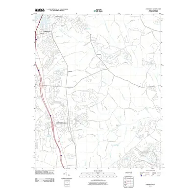
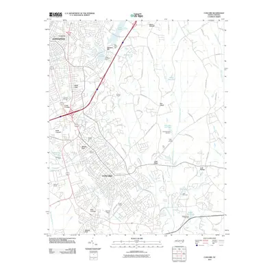
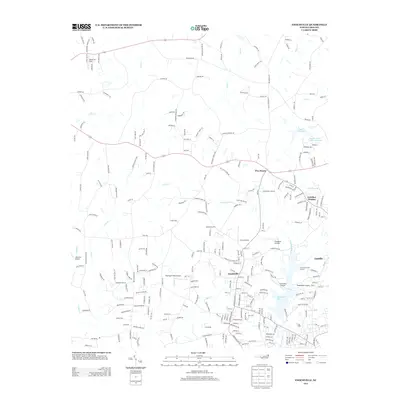
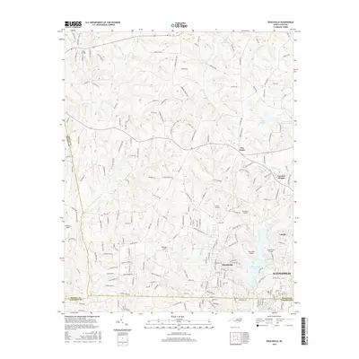
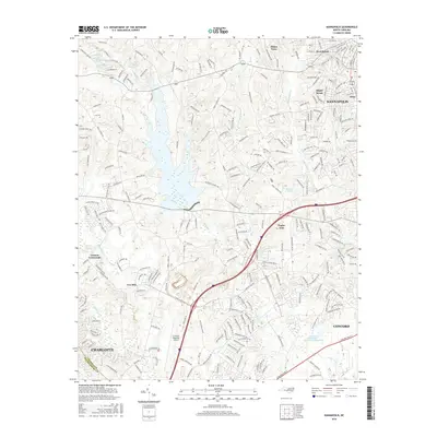
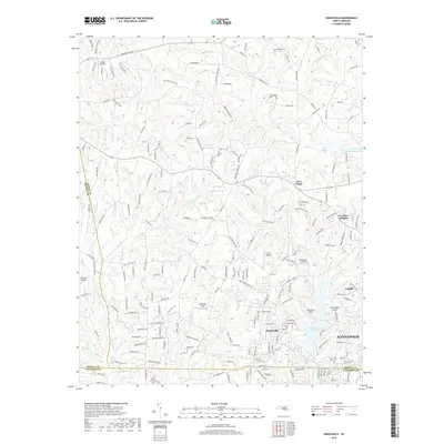
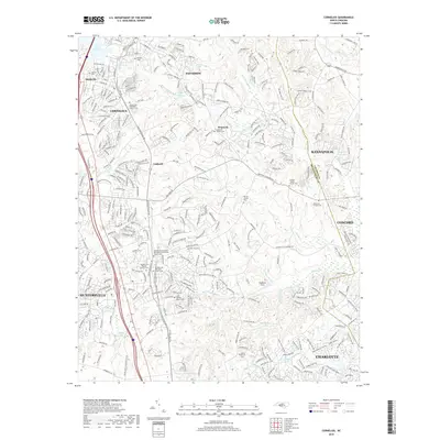
(26)- 2000 Map of Enochville, 2003 Print
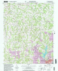 2000 Enochville2003 Print · USGSThe intersection of Rowan, Iredell, and Cabarrus counties is captured here at the turn of the millennium. Researchers can locate family landmarks such as St Enochs Ch and West Corinth Ch alongside local infrastructure like the Drag Strip and Lake Kannapolis.
 - 2010 Map of Cornelius, 2010 Print
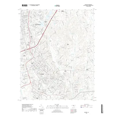
 2010 Cornelius2010 Print · USGSCovers Kannapolis, including Charlotte, Concord, and other nearby areas
 - 2010 Map of Concord, 2010 Print
 2010 Concord2010 Print · USGSCovers Kannapolis, including Concord, Jackson Park, and other nearby areas
 - 2010 Map of Enochville, 2010 Print
 2010 Enochville2010 Print · USGSCovers Kannapolis, including Landis, Meadowcreek, and other nearby areas
 - 2010 Map of Kannapolis, 2010 Print
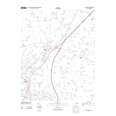
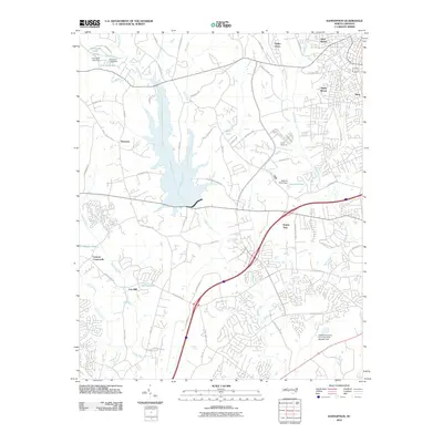 2010 Kannapolis2010 Print · USGSCovers Kannapolis, including Charlotte, Concord, and other nearby areas
 - 2010 Map of China Grove, 2010 Print
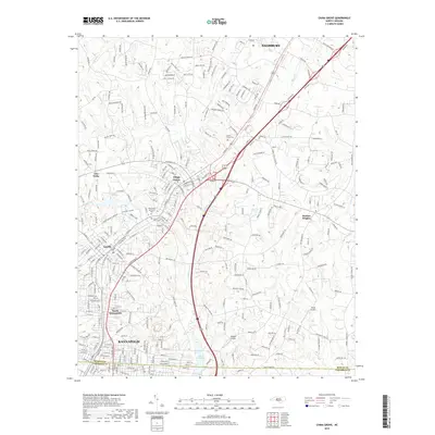
 2010 China Grove2010 Print · USGSCovers Kannapolis, including Salisbury, China Grove, and other nearby areas
 - 2013 Map of Cornelius, 2013 Print
 2013 Cornelius2013 Print · USGSCovers Kannapolis, including Charlotte, Concord, and other nearby areas
 - 2013 Map of Enochville, 2013 Print
 2013 Enochville2013 Print · USGSCovers Kannapolis, including Landis, Meadowcreek, and other nearby areas
 - 2013 Map of China Grove, 2013 Print
 2013 China Grove2013 Print · USGSCovers Kannapolis, including Salisbury, China Grove, and other nearby areas
 - 2013 Map of Concord, 2013 Print
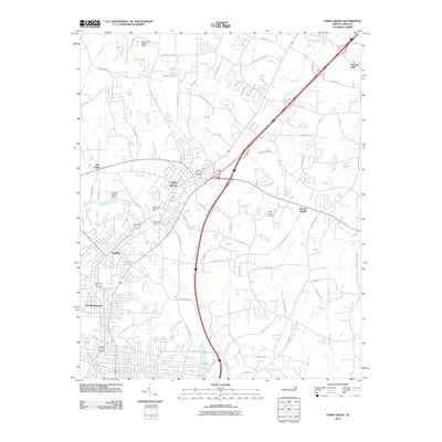
 2013 Concord2013 Print · USGSCovers Kannapolis, including Concord, Jackson Park, and other nearby areas
 - 2013 Map of Kannapolis, 2013 Print
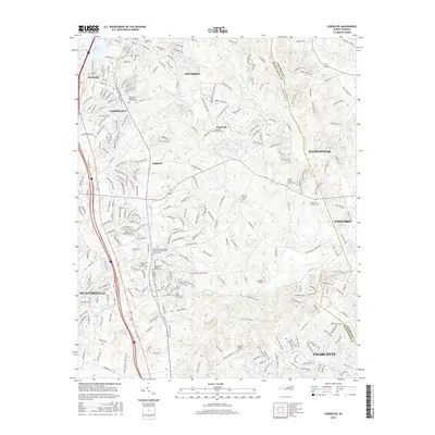
 2013 Kannapolis2013 Print · USGSCovers Kannapolis, including Charlotte, Concord, and other nearby areas
 - 2016 Map of Enochville, 2016 Print
 2016 Enochville2016 Print · USGSCovers Kannapolis, including Landis, Meadowcreek, and other nearby areas
 - 2016 Map of Cornelius, 2016 Print
 2016 Cornelius2016 Print · USGSCovers Kannapolis, including Charlotte, Concord, and other nearby areas
 - 2016 Map of China Grove, 2016 Print
 2016 China Grove2016 Print · USGSCovers Kannapolis, including Salisbury, China Grove, and other nearby areas
 - 2016 Map of Kannapolis, 2016 Print
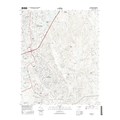
 2016 Kannapolis2016 Print · USGSCovers Kannapolis, including Charlotte, Concord, and other nearby areas
 - 2016 Map of Concord, 2016 Print
 2016 Concord2016 Print · USGSCovers Kannapolis, including Concord, Jackson Park, and other nearby areas
 - 2019 Map of Enochville, 2019 Print
 2019 Enochville2019 Print · USGSCovers Kannapolis, including Landis, Meadowcreek, and other nearby areas
 - 2019 Map of China Grove, 2019 Print
 2019 China Grove2019 Print · USGSCovers Kannapolis, including Salisbury, China Grove, and other nearby areas
 - 2019 Map of Concord, 2019 Print
 2019 Concord2019 Print · USGSCovers Kannapolis, including Concord, Jackson Park, and other nearby areas
 - 2019 Map of Kannapolis, 2019 Print
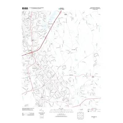
 2019 Kannapolis2019 Print · USGSCovers Kannapolis, including Charlotte, Concord, and other nearby areas
 - 2019 Map of Cornelius, 2019 Print
 2019 Cornelius2019 Print · USGSCovers Kannapolis, including Charlotte, Concord, and other nearby areas
 - 2022 Map of Enochville, 2022 Print
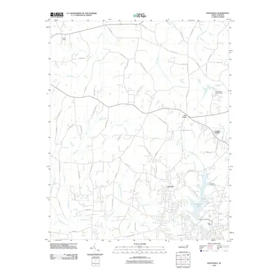
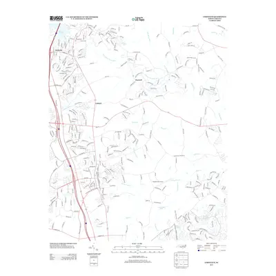
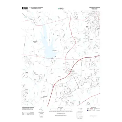
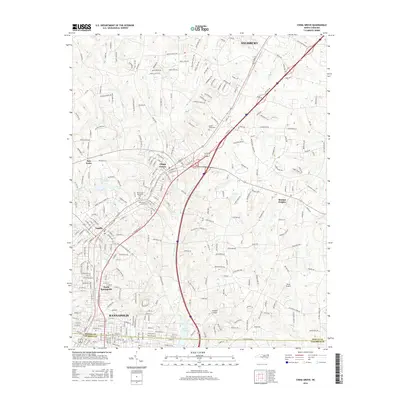
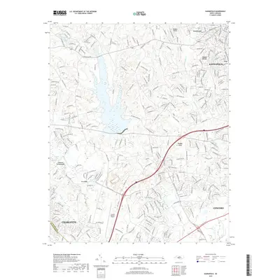
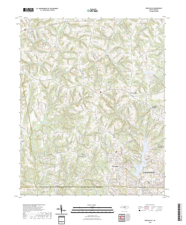 2022 Enochville2022 Print · USGSThe Enochville area of Rowan and Cabarrus Counties is captured here in the early twenty-first century, showing a unique concentration of local aviation and water resources. Researchers can trace the development of Kannapolis and Landis or locate family landmarks near Miller Air Park and Landis Water Reservoir Lake.
 - 2022 Map of Cornelius, 2022 Print
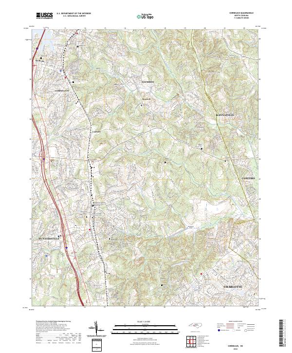 2022 Cornelius2022 Print · USGSThe growing communities north of Charlotte are shown here during their early 21st-century expansion. Genealogists can trace family lines through several burial sites like Hopewell Church Cem, Ramah Church Cem, and the historic Davidson College campus.
 - 2022 Map of China Grove, 2022 Print
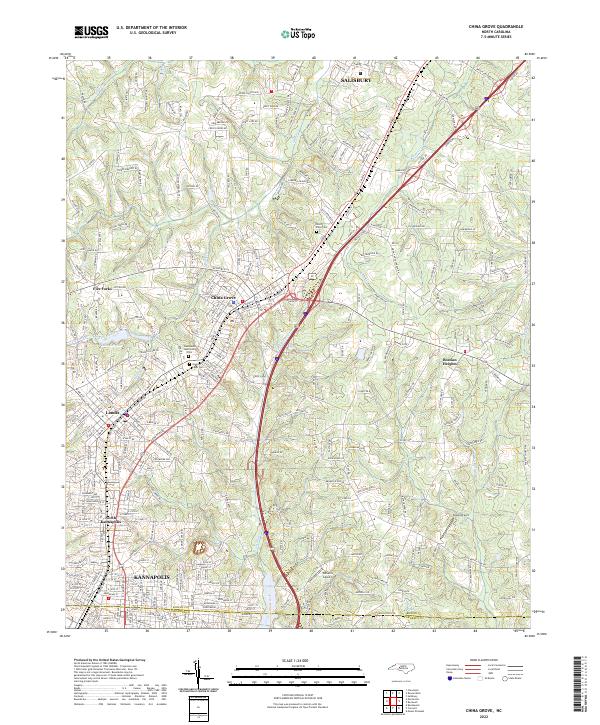 2022 China Grove2022 Print · USGSThe industrial corridor between Rowan and Cabarrus counties is mapped here in detail, showing the growth of China Grove and Landis. Local history researchers can trace the vicinity of Lake Corriher, Green Lawn Cem, and smaller airfields like Sloop Airport.
 - 2022 Map of Concord, 2022 Print
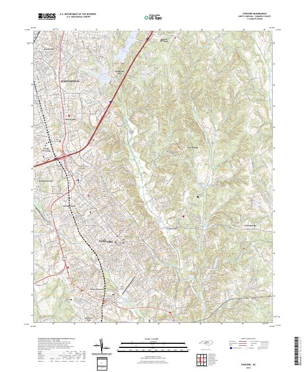 2022 Concord2022 Print · USGSThe Concord and Kannapolis corridor is shown here during a period of significant suburban expansion and infrastructure growth. Genealogists and researchers can trace local landmarks like Oakwood Cem, the Cabarrus County Courthouse, and the grounds of Heilmans Mill.
Showing maps 1-25 of 26
Top cities near Kannapolis
- Charlotte historical maps
- Concord historical maps
- Huntersville historical maps
- Mooresville historical maps
- Salisbury historical maps
- Cornelius historical maps
See more
Top neighborhoods of Kannapolis
- Heilmans Mill historical maps
- Glass historical maps
- Shady Brook historical maps
- West Brook historical maps
- Royal Oaks historical maps
- Centerview historical maps
See more
Frequently asked questions
- What are the different types of historical maps available for Kannapolis?
- What is the oldest map of Kannapolis?
- Where can I purchase historical maps of Kannapolis for my home or office?
- Where can I download high-res historical maps of Kannapolis?
- Are there historical topographic maps available for Kannapolis?
- Is there historical aerial imagery available for Kannapolis?
- Where are historical maps of Kannapolis sourced from?