2000s (21st Century) Maps of Yanceyville, North Carolina
Explore 17 historic maps of Yanceyville from the 2000s (21st Century). These maps offer a rare glimpse into what life looked like during the 2000s — showing old roads, neighborhoods, homes, and landmarks that have changed or disappeared over time.
Whether you're researching your family's past, planning a metal detecting trip, or studying how Yanceyville's landscape evolved across the 2000s, these high-resolution maps are a powerful tool for exploring the history of this region.
- Focus on a specific era: All maps on this page are from the 2000s, giving you a focused view of this time period.
- See what’s changed: Compare century-old streets, trails, and buildings to today's modern landscape using overlays and satellite layers.
- Research with precision: Use these maps for genealogy, historical research, land use analysis, or educational projects.
- View, download, or print: Maps are fully viewable online in high resolution, and can be downloaded or printed for your own records.
Start exploring Yanceyville's history through authentic maps from the 2000s. This is your window into the past.
Yanceyville, NC maps
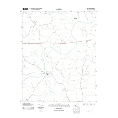
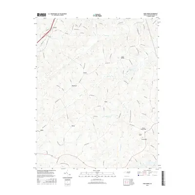
(17)- 2002 Map of Yanceyville
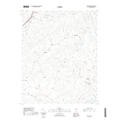
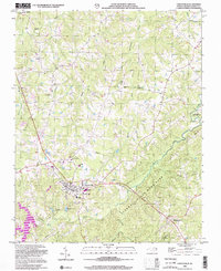 2002 Yanceyville2002 Print · USGSYanceyville and its surrounding Caswell County crossroads are captured here during a period of steady rural continuity. Genealogists and historians can locate community landmarks like Sassafras Grove Ch, the Prison Camp, and the Oakwood Sch.
 - 2002 Map of Park Spring
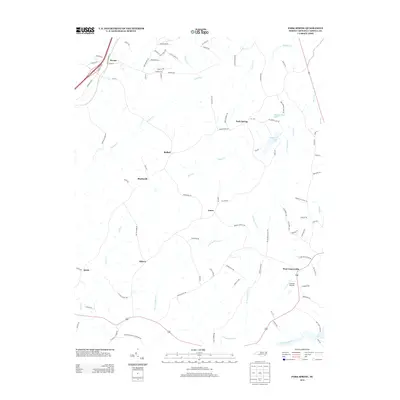
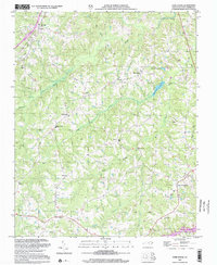 2002 Park Spring2002 Print · USGSCaswell County at the start of the twenty-first century reveals a landscape of deep-rooted rural communities and Piedmont waterways. Genealogists and local historians can trace family landmarks and neighborhood centers like Bethel, West Yanceyville, and Cobb Memorial Sch.
 - 2010 Map of Yanceyville, 2010 Print
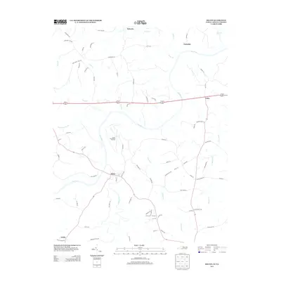
 2010 Yanceyville2010 Print · USGSCovers Yanceyville, including Covington, Hamer, and other nearby areas
 - 2010 Map of Park Spring, 2010 Print
 2010 Park Spring2010 Print · USGSCovers Yanceyville, including Allison, Bethel, and other nearby areas
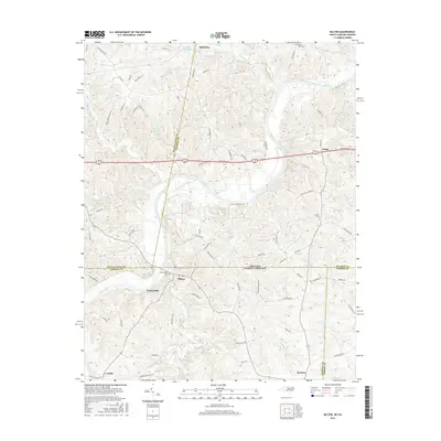
 - 2011 Map of Milton, 2011 Print
 2011 Milton2011 Print · USGSCovers Yanceyville, including Milton, Delila, and other nearby areas
 - 2013 Map of Park Spring, 2013 Print
 2013 Park Spring2013 Print · USGSCovers Yanceyville, including Allison, Bethel, and other nearby areas
 - 2013 Map of Milton, 2013 Print
 2013 Milton2013 Print · USGSCovers Yanceyville, including Milton, Delila, and other nearby areas
 - 2013 Map of Yanceyville, 2013 Print
 2013 Yanceyville2013 Print · USGSCovers Yanceyville, including Covington, Hamer, and other nearby areas
 - 2016 Map of Park Spring, 2016 Print
 2016 Park Spring2016 Print · USGSCovers Yanceyville, including Allison, Bethel, and other nearby areas
 - 2016 Map of Milton, 2016 Print
 2016 Milton2016 Print · USGSCovers Yanceyville, including Milton, Delila, and other nearby areas
 - 2016 Map of Yanceyville, 2016 Print
 2016 Yanceyville2016 Print · USGSCovers Yanceyville, including Covington, Hamer, and other nearby areas
 - 2019 Map of Milton, 2019 Print
 2019 Milton2019 Print · USGSCovers Yanceyville, including Milton, Delila, and other nearby areas
 - 2019 Map of Yanceyville, 2019 Print
 2019 Yanceyville2019 Print · USGSCovers Yanceyville, including Covington, Hamer, and other nearby areas
 - 2019 Map of Park Spring, 2019 Print
 2019 Park Spring2019 Print · USGSCovers Yanceyville, including Allison, Bethel, and other nearby areas
 - 2022 Map of Yanceyville, 2022 Print
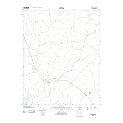
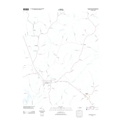
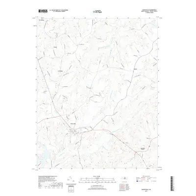
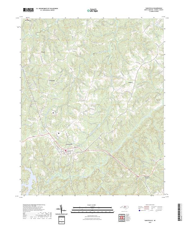 2022 Yanceyville2022 Print · USGSCaswell County and its county seat appear here in the early twenty-first century, showing the rural character of the North Carolina Piedmont. Genealogists and local historians can trace family-named routes and old settlements from Providence and Purley to the Caswell County Courthouse.
 - 2022 Map of Park Spring, 2022 Print
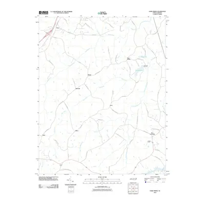
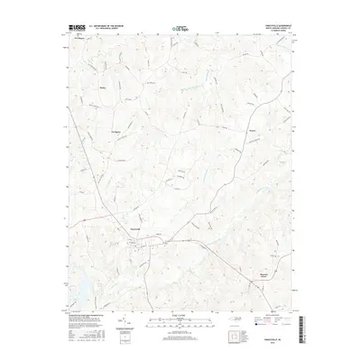
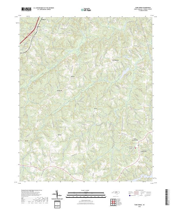 2022 Park Spring2022 Print · USGSCaswell County remains a landscape of quiet rural communities and winding creeks in these modern surveys. Genealogists and local historians can trace family land via Poteat Farm Rd, locate the Bethesda Church Cemetery, or explore the area around Park Spring.
 - 2022 Map of Milton, 2022 Print
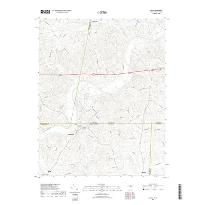
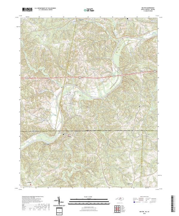 2022 Milton2022 Print · USGSThe Virginia and North Carolina borderlands come alive in this survey, showcasing the rural landscapes of Caswell and Halifax counties. Researchers can trace historical routes like the Tobacco Heritage Trl and locate family burial sites at Mercy Seat Cem or Cedars Cem.
End of results
Showing maps 1-17 of 17
Top cities near Yanceyville
Frequently asked questions
- What are the different types of historical maps available for Yanceyville?
- What is the oldest map of Yanceyville?
- Where can I purchase historical maps of Yanceyville for my home or office?
- Where can I download high-res historical maps of Yanceyville?
- Are there historical topographic maps available for Yanceyville?
- Is there historical aerial imagery available for Yanceyville?
- Where are historical maps of Yanceyville sourced from?