2020s Maps of Chatham County, North Carolina
Explore 19 historic maps of Chatham County from the 2020s. These maps offer a rare glimpse into what life looked like during the 2020s — showing old roads, neighborhoods, homes, and landmarks that have changed or disappeared over time.
Whether you're researching your family's past, planning a metal detecting trip, or studying how Chatham County's landscape evolved across the 2020s, these high-resolution maps are a powerful tool for exploring the history of this region.
- Focus on a specific era: All maps on this page are from the 2020s, giving you a focused view of this time period.
- See what’s changed: Compare century-old streets, trails, and buildings to today's modern landscape using overlays and satellite layers.
- Research with precision: Use these maps for genealogy, historical research, land use analysis, or educational projects.
- View, download, or print: Maps are fully viewable online in high resolution, and can be downloaded or printed for your own records.
Start exploring Chatham County's history through authentic maps from the 2020s. This is your window into the past.
Chatham County, NC maps
(19)- 2022 Map of White Cross, 2022 Print
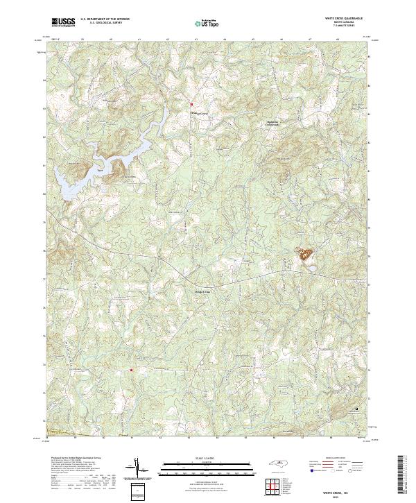 2022 White Cross2022 Print · USGSThe rural uplands of Orange County are documented here in the early twenty-first century, showing the crossroads communities and peaks that define this Piedmont terrain. Researchers can locate family landmarks such as Miles Airport, Judea Reform Congregation Cem, and the settlement at Orange Grove.
 - 2022 Map of Coleridge, 2022 Print
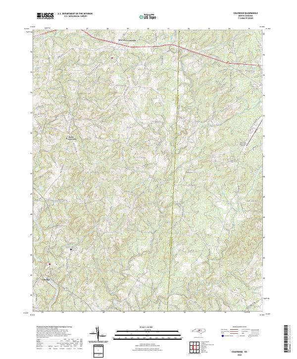 2022 Coleridge2022 Print · USGSThe Randolph and Chatham county line is captured in the early 2020s, showing a landscape of traditional crossroads and Piedmont watercourses. Genealogists and local historians can trace family land via Roby Coe Rd, locate the Concord Cem, and follow the Deep River valley.
 - 2022 Map of Silk Hope, 2022 Print
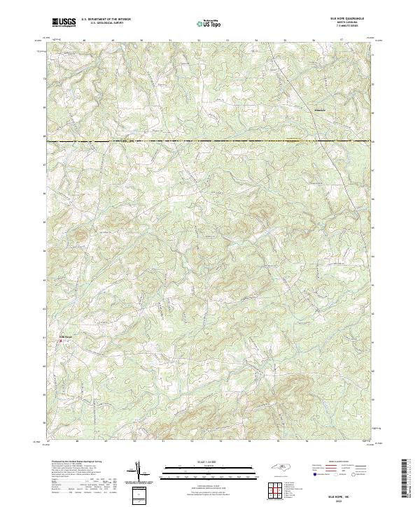 2022 Silk Hope2022 Print · USGSSilk Hope and the surrounding Chatham County countryside appear in great detail during the early 2020s. Genealogists and local historians can trace ancestral lands along Silk Hope Lindley Mill Rd or near the banks of Terrells Cr and Lick Cr.
 - 2022 Map of Crutchfield Crossroads, 2022 Print
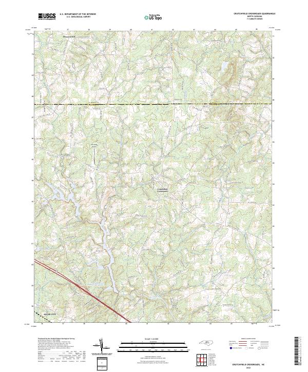 2022 Crutchfield Crossroads2022 Print · USGSChatham and Alamance counties are documented here in the early 2020s, showing the rural landscapes north of the regional hub of Siler City. Researchers can trace old family roadbeds and water features like Crutchfield Crossroads, Rocky River, and the Siler City Water Supply Lake Number Two.
 - 2022 Map of Siler City NE, 2022 Print
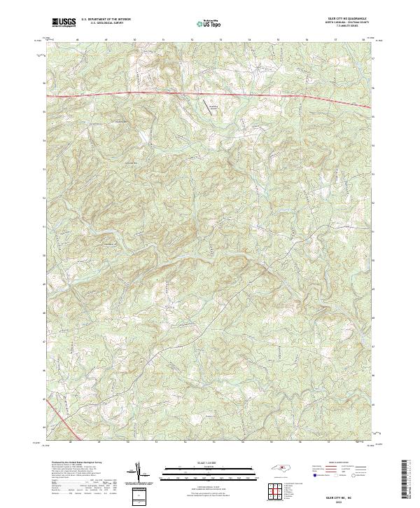 2022 Siler City NE2022 Print · USGSChatham County’s rural landscape is mapped here in the early 2020s, showing a network of family-named roads and watercourses. Genealogists and local historians can trace the paths of Hadley Mill Rd and Evans Chapel Rd as they converge near the Rocky River.
 - 2022 Map of Bennett, 2022 Print
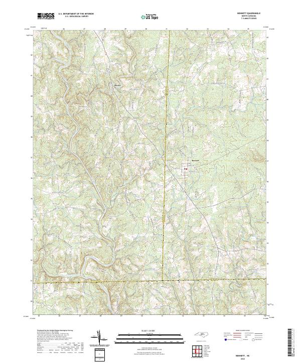 2022 Bennett2022 Print · USGSThe crossroads of Chatham, Randolph, and Moore counties are captured here in the early twenty-first century. Genealogists can trace family landmarks along Lambeth Mill Rd and Billy Brady Rd, or locate the legendary Devils Tramping Ground Rd.
 - 2022 Map of Cokesbury, 2022 Print
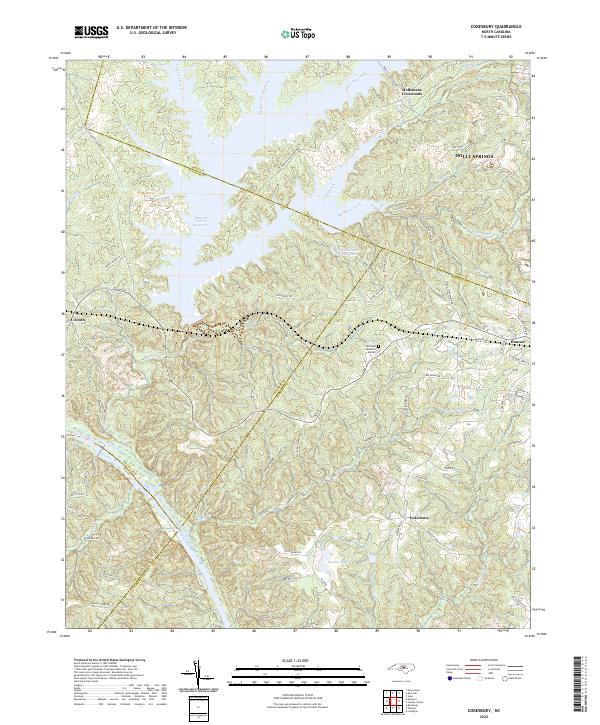 2022 Cokesbury2022 Print · USGSHarnett and Wake counties meet in this 2020s landscape defined by the convergence of four county lines and the waters of the Shearon Harris Reservoir. Trace ancestral roots and old road alignments through Hollemans Crossroads, Cokesbury, and along the historic Avent Ferry Rd.
 - 2022 Map of Pittsboro, 2022 Print
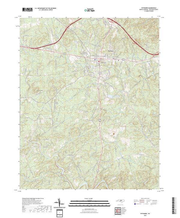 2022 Pittsboro2022 Print · USGSPittsboro and its surrounding Chatham County countryside are captured here in the early 2020s. Researchers can trace local development through sites like Pittsboro Elem School, the Chatham County Justice Center, and family-named landmarks along Roberson Cr.
 - 2022 Map of Liberty, 2022 Print
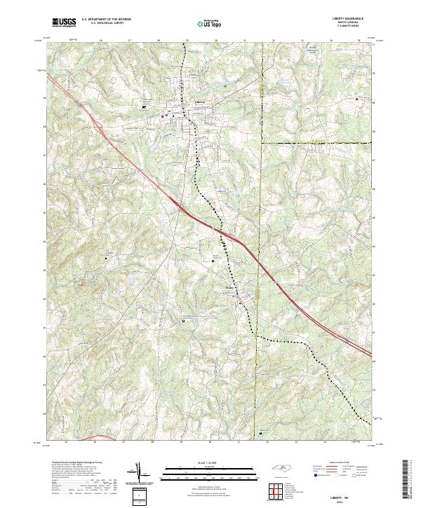 2022 Liberty2022 Print · USGSIn the early twenty-first century, the borderlands of Randolph and Chatham counties remain defined by the historic hubs of Liberty and Staley. Researchers can trace family history through several sites like Old McMasters Cem and the Old Shady Grove Cem along the Rocky River.
 - 2022 Map of Farrington, 2022 Print
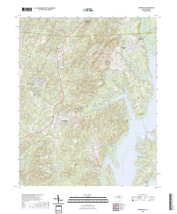 2022 Farrington2022 Print · USGSChatham County in the early 2020s shows a landscape of growing residential communities and expansive reservoir shorelines. Researchers can locate family landmarks like the Manns Chapel Cem and Riggsbee Cem or trace the winding course of Morgan Cr.
 - 2022 Map of Bynum, 2022 Print
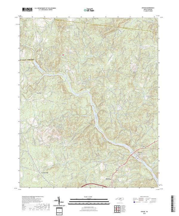 2022 Bynum2022 Print · USGSThe Haw River valley south of the Orange County line shows a landscape of historic Piedmont mill sites and rural crossroads. Local researchers can trace family landmarks and river geography from the Pritchard Mill (Site) down to the communities of Bynum and Gum Springs.
 - 2022 Map of Moncure, 2022 Print
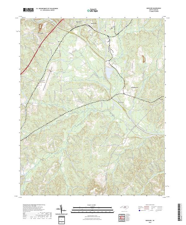 2022 Moncure2022 Print · USGSThe confluence of the Deep River and Cape Fear River defines this North Carolina landscape in the early 2020s. Researchers can trace rural lineages through settlements like Moncure, Haywood, and Brickhaven.
 - 2022 Map of Siler City, 2022 Print
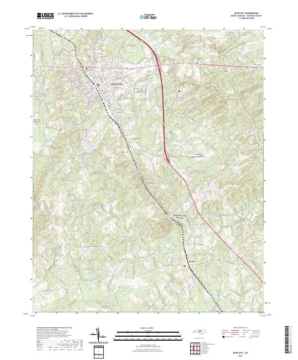 2022 Siler City2022 Print · USGSSiler City and the surrounding Chatham County countryside are captured here in the early twenty-first century. Genealogists and local historians can trace family locations near Oakwood Cem, the settlement at Bonlee, and the waters of Tick Cr.
 - 2022 Map of New Hill, 2022 Print
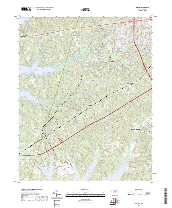 2022 New Hill2022 Print · USGSWake County's southwestern landscapes are shown here in the contemporary era as growing communities meet the shores of the reservoir. Researchers can trace the development of New Hill and Bonsal or locate landmarks like Deck Airpark and B Everett Jordan Lake.
 - 2022 Map of Colon, 2022 Print
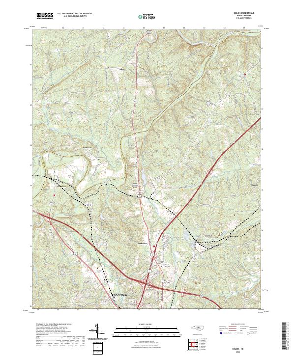 2022 Colon2022 Print · USGSLee County at the start of the 2020s shows a landscape defined by the confluence of the Deep and Rocky Rivers and the steady expansion of Sanford. Researchers can trace family history at Farmville Cem or locate the small rail-aligned communities of Colon and Osgood.
 - 2022 Map of Merry Oaks, 2022 Print
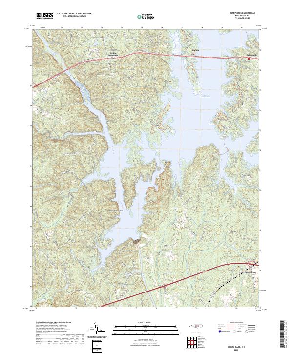 2022 Merry Oaks2022 Print · USGSChatham County’s river valleys and the expansive waters of the Jordan Lake reservoir define this region in the early twenty-first century. Researchers can trace the modern layout of crossroads settlements like Griffins Crossroads and Merry Oaks or find recreation-era landmarks like Gunter-Harris Island.
 - 2022 Map of Goldston, 2022 Print
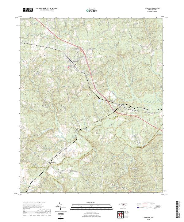 2022 Goldston2022 Print · USGSIn this modern survey of central North Carolina, the rural communities of Goldston and Carbonton are shown as they sit near the tri-county junction. Researchers can trace land patterns along the Deep River and find family-named landmarks like Alston House Rd and Tempting Church Rd.
 - 2022 Map of Bear Creek, 2022 Print
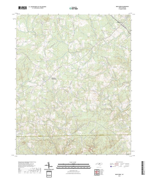 2022 Bear Creek2022 Print · USGSChatham and Moore counties are shown here in the 2020s, documenting a landscape of rural crossroads and family-named roads. Genealogists and local historians can trace the areas around Harpers Crossroads, Bear Creek, and the slopes of Pine Mtn.
 - 2023 Map of Green Level, 2023 Print
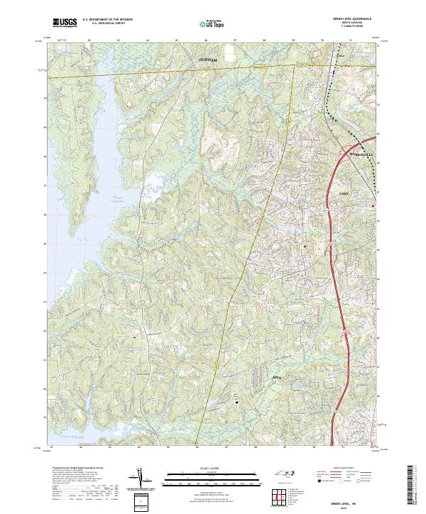 2023 Green Level2023 Print · USGSThe Research Triangle periphery undergoes significant suburban expansion in the early 2020s. Researchers can trace family history at the Mills Family Cem or locate community hubs like Green Level Church and Green Hope School.
End of results
Showing maps 1-19 of 19
Top cities of Chatham County
Frequently asked questions
- What are the different types of historical maps available for Chatham County?
- What is the oldest map of Chatham County?
- Where can I purchase historical maps of Chatham County for my home or office?
- Where can I download high-res historical maps of Chatham County?
- Are there historical topographic maps available for Chatham County?
- Is there historical aerial imagery available for Chatham County?
- Where are historical maps of Chatham County sourced from?