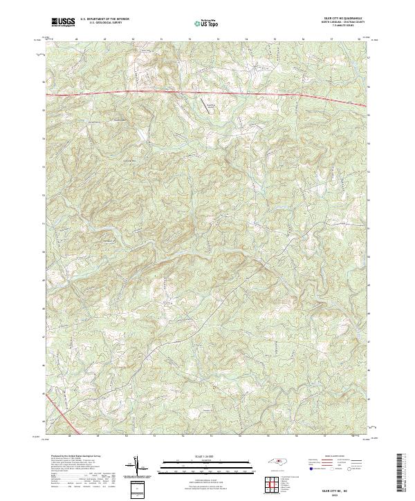
2022 Map of Siler City NE
USGS Topo · Published 2022About this map
The Rocky River winds through the heart of this Chatham County landscape, defining the local geography alongside numerous tributaries including Little Bear Cr and Landrum Cr. This region of North Carolina is characterized by distinct topographic rises like Hickory Mtn and Carolina Hill, which punctuate the network of rural roads and homesteads. The naming of the local infrastructure provides a direct link to the area's social and economic history, with routes such as Hadley Mill Rd, Bowers Store Rd, and Pleasant Hill Church Rd pointing toward the historic community hubs of mills, stores, and congregations that shaped the county. One of the more peculiar landmarks on this modern survey is Dead Dog Airport, situated north of the river near Dave McCracken Rd.
Find a feature on this map
86 named features on this map. Tap any name to fly to it.
Don’t see what you’re looking for? This feature index may not catch every label — zoom into the map to look around manually.
Map Details
Editions of this 2022 Siler City NE Map
This is the sole edition of this map. No revisions or reprints were ever made.
Other maps of this area

1953 · Raleigh
USGS Topo · 1:250,000

1954 · Raleigh
USGS Topo · 1:250,000

1968 · Bynum
USGS Topo · 1:24,000

1969 · Siler City
USGS Topo · 1:24,000

1970 · Goldston
USGS Topo · 1:24,000

1970 · Pittsboro
USGS Topo · 1:24,000

1970 · Colon
USGS Topo · 1:24,000

1970 · Bear Creek
USGS Topo · 1:24,000

1970 · Siler City NE
USGS Topo · 1:24,000

1974 · Silk Hope
USGS Topo · 1:24,000