2010s Maps of Chatham County, North Carolina
Explore 76 historic maps of Chatham County from the 2010s. These maps offer a rare glimpse into what life looked like during the 2010s — showing old roads, neighborhoods, homes, and landmarks that have changed or disappeared over time.
Whether you're researching your family's past, planning a metal detecting trip, or studying how Chatham County's landscape evolved across the 2010s, these high-resolution maps are a powerful tool for exploring the history of this region.
- Focus on a specific era: All maps on this page are from the 2010s, giving you a focused view of this time period.
- See what’s changed: Compare century-old streets, trails, and buildings to today's modern landscape using overlays and satellite layers.
- Research with precision: Use these maps for genealogy, historical research, land use analysis, or educational projects.
- View, download, or print: Maps are fully viewable online in high resolution, and can be downloaded or printed for your own records.
Start exploring Chatham County's history through authentic maps from the 2010s. This is your window into the past.
Chatham County, NC maps
(76)- 2010 Map of Green Level, 2010 Print
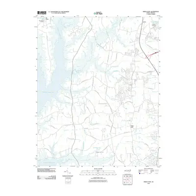 2010 Green Level2010 Print · USGSThe rapid expansion of the Research Triangle is visible in this 2010 survey of the area surrounding Green Level. Researchers can trace the path of the American Tobacco Trl and locate family landmarks near B Everett Jordan Lake and Genlee.
 - 2010 Map of New Hill, 2010 Print
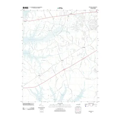 2010 New Hill2010 Print · USGSWestern Wake County at the turn of the millennium shows a landscape transformed by large-scale water management projects. Genealogists and local historians can trace family-named roads and established communities like New Hill, Bonsal, and Friendship between the shores of Shearon Harris Reservoir and B Everett Jordan Lake.
 - 2010 Map of Merry Oaks, 2010 Print
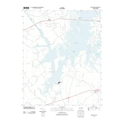 2010 Merry Oaks2010 Print · USGSChatham County’s river valleys were reshaped by modern water management at the opening of the 21st century. Researchers can trace the submerged topography near Moores Bridge or locate rural communities like Seaforth and Griffins Crossroads along the lake shore.
 - 2010 Map of Siler City NE, 2010 Print
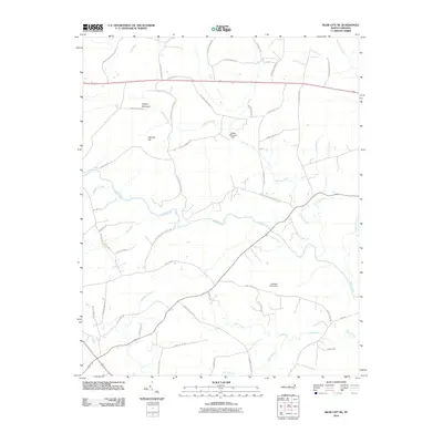 2010 Siler City NE2010 Print · USGSChatham County’s rolling Piedmont is documented here at the start of the millennium, showing a landscape defined by traditional family landholdings and river valleys. Researchers can trace historic local routes like Old Hwy 64 and locate landmarks such as Hadley Millpond Dam or Hickory Mountain.
 - 2010 Map of Bynum, 2010 Print
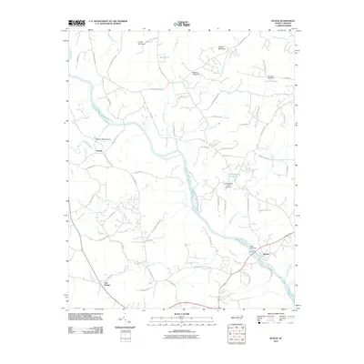 2010 Bynum2010 Print · USGSChatham County’s rural character is on full display in the early 2000s, centered on the winding Haw River and its wooded banks. Researchers can trace local landmarks like Collins Mountain, the community of Gum Springs, and water features like Baldwin Millpond Dam.
 - 2010 Map of Silk Hope, 2010 Print
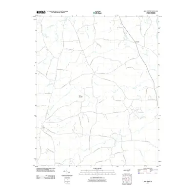 2010 Silk Hope2010 Print · USGSChatham County’s rural landscape comes into focus at the start of the decade, centered on the community of Silk Hope and its surrounding creek networks. Genealogists and local historians can trace family-named routes like Woody Store Rd and landmarks such as Camp Maranatha Lake Dam.
 - 2010 Map of Siler City, 2010 Print
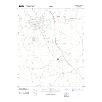 2010 Siler City2010 Print · USGSChatham County at the start of the 2010s shows a landscape of growing regional hubs and persistent rural crossroads. Genealogists and local historians can trace family locations near Siler City, Mount Vernon Springs, and Bonlee, or locate burials at Oakwood Cemetery.
 - 2010 Map of Pittsboro, 2010 Print
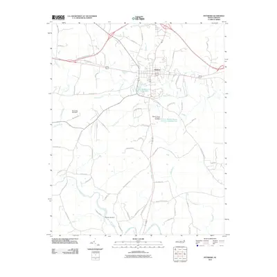 2010 Pittsboro2010 Print · USGSThe town of Pittsboro is shown during a period of steady growth in the early twenty-first century, anchored by its historic road network. Researchers can trace local landmarks like Round Top Mountain and the Webster Poultry Company Pond south of the town center.
 - 2010 Map of Goldston, 2010 Print
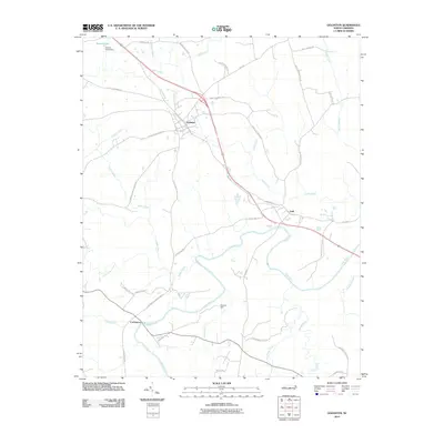 2010 Goldston2010 Print · USGSChatham County’s rural river country is captured here in the early twenty-first century, centered on the historic winding course of the Deep River. Researchers can trace local family landmarks and community hubs like Goldston, the riverfront at Gulf, and Gourley Dam.
 - 2010 Map of Farrington, 2010 Print
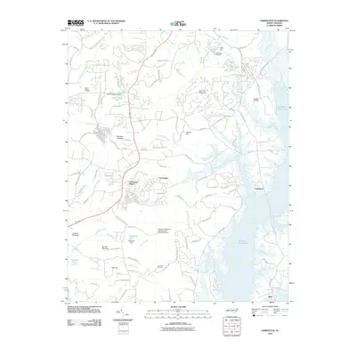 2010 Farrington2010 Print · USGSChatham and Orange Counties are shown during a period of rapid growth near B. Everett Jordan Lake. Researchers can trace the layout of Fearrington Village or locate family plots at Manns Chapel Cemetery and Haw River Cemetery.
 - 2010 Map of Bear Creek, 2010 Print
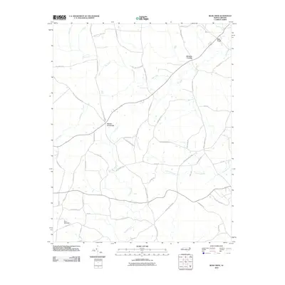 2010 Bear Creek2010 Print · USGSChatham County’s crossroads and rural communities are preserved in this 2010 survey of the North Carolina Piedmont. Genealogists and local historians can trace family-named landmarks and routes like Harpers Crossroads, Johnsons Crossing, and the legendary Devils Tramping Ground Rd.
 - 2010 Map of Cokesbury, 2010 Print
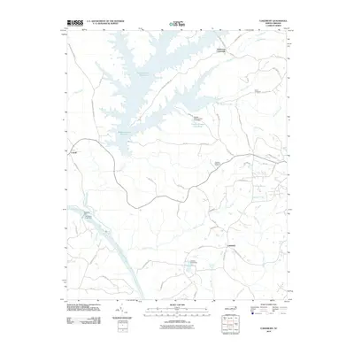 2010 Cokesbury2010 Print · USGSCokesbury and the surrounding rural crossroads were documented in 2010 just as the landscape of Wake and Harnett counties continued its modern evolution. Researchers can trace historic river access at Buckhorn Dam and locate ancestral locales near Hollemans Crossroads and Dennis Crossroads.
 - 2010 Map of Colon, 2010 Print
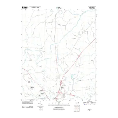 2010 Colon2010 Print · USGSThe area around the Deep River and Rocky River confluence shows a mix of industrial history and suburban expansion in the early twenty-first century. Researchers can trace the heritage of Cumnock, the Farmville Cemetery, and the paths of Copper Mine Creek.
 - 2010 Map of Bennett, 2010 Print
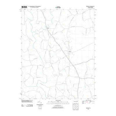 2010 Bennett2010 Print · USGSBennett and Cheeks are documented in the Piedmont of North Carolina during the early twenty-first century as the Deep River winds through a landscape of family-named roads. Genealogists can trace local lineages along Clint Caviness Rd, Joe Branson Rd, and Billy Brady Rd.
 - 2010 Map of Moncure, 2010 Print
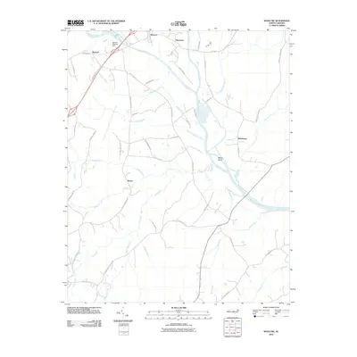 2010 Moncure2010 Print · USGSThe confluence of the Deep and Haw Rivers defines this portion of Lee and Chatham Counties in the early twenty-first century. Genealogists and local historians can trace family-named routes like Buchanan Farm Rd and Ammons Farm Rd near the old settlements of Moncure and Haywood.
 - 2010 Map of Coleridge, 2010 Print
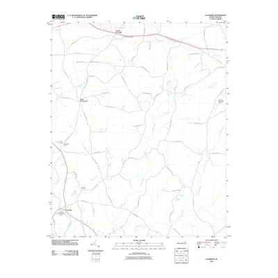 2010 Coleridge2010 Print · USGSColeridge and the surrounding Randolph County countryside are captured here in the early twenty-first century. Researchers can trace local genealogy and industry through sites like Concord Cemetery, the D B Walker Shoe Company Dam, and Browns Crossroads.
 - 2010 Map of Crutchfield Crossroads, 2010 Print
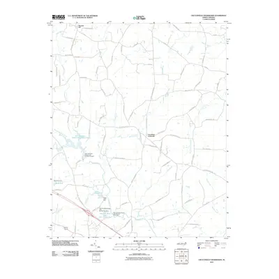 2010 Crutchfield Crossroads2010 Print · USGSChatham County’s rural crossroads and vital water systems are captured here in the first decade of the millennium. Researchers can trace local landmarks and family-named routes surrounding Crutchfield Crossroads, Pleasant Hill, and the Rocky River.
 - 2010 Map of Liberty, 2010 Print
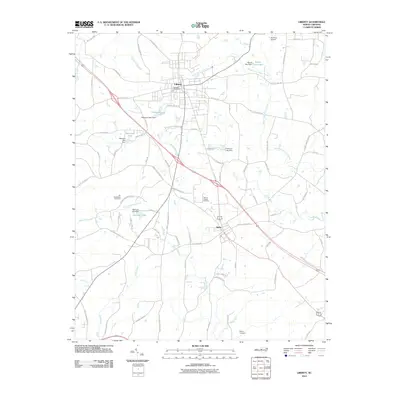 2010 Liberty2010 Print · USGSLiberty and Staley appear in this modern survey as the town centers for a rural landscape dominated by the headwaters of the Rocky River. Genealogists can trace family heritage through landmarks like Old McMasters Cemetery, Marley Cemetery, and Hinshaw Airport.
 - 2010 Map of White Cross, 2010 Print
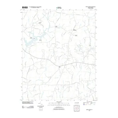 2010 White Cross2010 Print · USGSOrange County's rural crossroads and prominent Piedmont ridges are documented here at the start of the 2010s. Local historians can trace family land via Arthur Minnis Rd, locate the community of White Cross, and map the heights of Pickards Mountain.
 - 2013 Map of Crutchfield Crossroads, 2013 Print
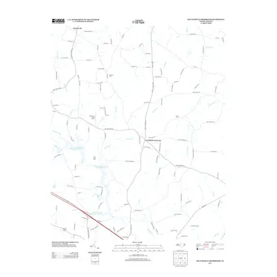 2013 Crutchfield Crossroads2013 Print · USGSChatham County’s rural character and vital water infrastructure are clear in this 2010s survey. Researchers can trace family agricultural tracts like Fogleman Dairy and Lynch Farm or locate the Flying Dove Field Airport near Crutchfield Crossroads.
 - 2013 Map of Pittsboro, 2013 Print
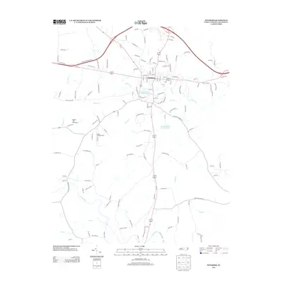 2013 Pittsboro2013 Print · USGSChatham County’s seat and its surrounding countryside are captured here in the early twenty-first century as the area continued to grow. Modern researchers can locate family landmarks like Round Top Mountain and major infrastructure such as the Upper Pittsboro Water Supply Pond.
 - 2013 Map of Moncure, 2013 Print
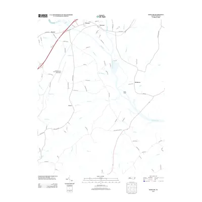 2013 Moncure2013 Print · USGSThe confluence of the Deep and Haw Rivers defines this portion of the Piedmont in the early twenty-first century. Genealogists and local historians can trace family-named routes and old settlements like Rosser, Brickhaven, and Haywood near the banks of the Cape Fear River.
 - 2013 Map of Siler City NE, 2013 Print
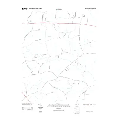 2013 Siler City NE2013 Print · USGSChatham County’s rural Piedmont landscape is captured here in the early twenty-first century, showing a transition between traditional agriculture and modern landmarks. Researchers can trace family land via Alvis Alston Rd or Elmer Keck Rd near the Rocky River and Dead Dog Airport.
 - 2013 Map of Siler City, 2013 Print
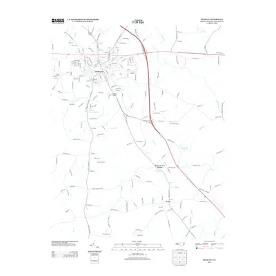 2013 Siler City2013 Print · USGSSiler City and the rural reaches of Chatham County are captured here in the early twenty-first century as the area balanced urban growth and its agrarian roots. Researchers can trace family-named sites and landmarks like Mount Vernon Springs, Brooks Field Airport, and the Norfolk Southern rail line.
 - 2013 Map of Goldston, 2013 Print
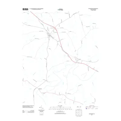 2013 Goldston2013 Print · USGSChatham County’s rural crossroads are captured here during a period of steady continuity for its small towns and farmland. Genealogists and local historians can trace family-named landmarks like Reno Sharps Store Rd and explore the historic settlements of Goldston, Gulf, and Carbonton.
Showing maps 1-25 of 76
Top cities of Chatham County
Frequently asked questions
- What are the different types of historical maps available for Chatham County?
- What is the oldest map of Chatham County?
- Where can I purchase historical maps of Chatham County for my home or office?
- Where can I download high-res historical maps of Chatham County?
- Are there historical topographic maps available for Chatham County?
- Is there historical aerial imagery available for Chatham County?
- Where are historical maps of Chatham County sourced from?