2020s Maps of Duplin County, North Carolina
Explore 24 historic maps of Duplin County from the 2020s. These maps offer a rare glimpse into what life looked like during the 2020s — showing old roads, neighborhoods, homes, and landmarks that have changed or disappeared over time.
Whether you're researching your family's past, planning a metal detecting trip, or studying how Duplin County's landscape evolved across the 2020s, these high-resolution maps are a powerful tool for exploring the history of this region.
- Focus on a specific era: All maps on this page are from the 2020s, giving you a focused view of this time period.
- See what’s changed: Compare century-old streets, trails, and buildings to today's modern landscape using overlays and satellite layers.
- Research with precision: Use these maps for genealogy, historical research, land use analysis, or educational projects.
- View, download, or print: Maps are fully viewable online in high resolution, and can be downloaded or printed for your own records.
Start exploring Duplin County's history through authentic maps from the 2020s. This is your window into the past.
Duplin County, NC maps
(24)- 2022 Map of Charity, 2022 Print
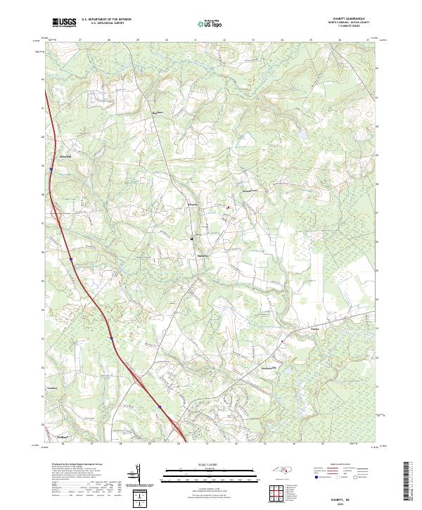 2022 Charity2022 Print · USGSDuplin County is shown in the early 2020s as a landscape of riverine wetlands and established small towns. Researchers can trace family roots at Clay Hill Cem and explore the rural road networks surrounding Charity, Greenevers, and Cartersville.
 - 2022 Map of Potters Hill, 2022 Print
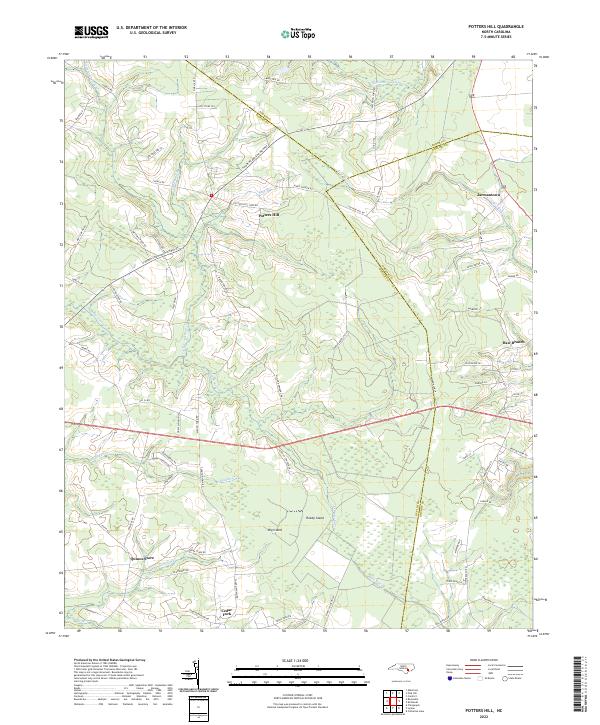 2022 Potters Hill2022 Print · USGSCoastal plain crossroads and sprawling wetlands define this part of Duplin County in the early 2020s. Researchers can locate historic rural centers like Quinns Store and Cedar Fork or trace the winding reaches of Tuckahoe Swamp and the New River.
 - 2022 Map of Chinquapin, 2022 Print
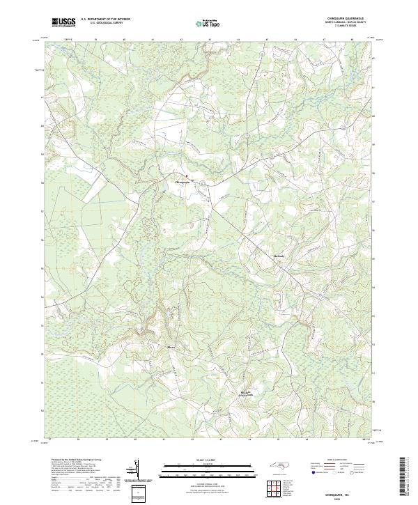 2022 Chinquapin2022 Print · USGSDuplin County's river-fed lowlands are captured here in the early twenty-first century, showing the enduring agricultural layout of the coastal plain. Genealogists and local historians can trace family-named routes like Jackson Store Rd and Ludie Brown Rd near the settlement of Chinquapin.
 - 2022 Map of Warsaw South, 2022 Print
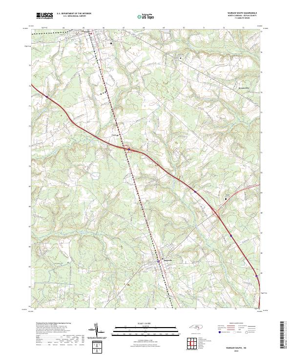 2022 Warsaw South2022 Print · USGSDuplin County appears in this modern survey as a landscape of established towns and rural crossroads connected by the historic rail corridor. Genealogists can trace family landmarks near Warsaw and Magnolia, including Pine Crest Cem and Carroll.
 - 2022 Map of Maple Hill, 2022 Print
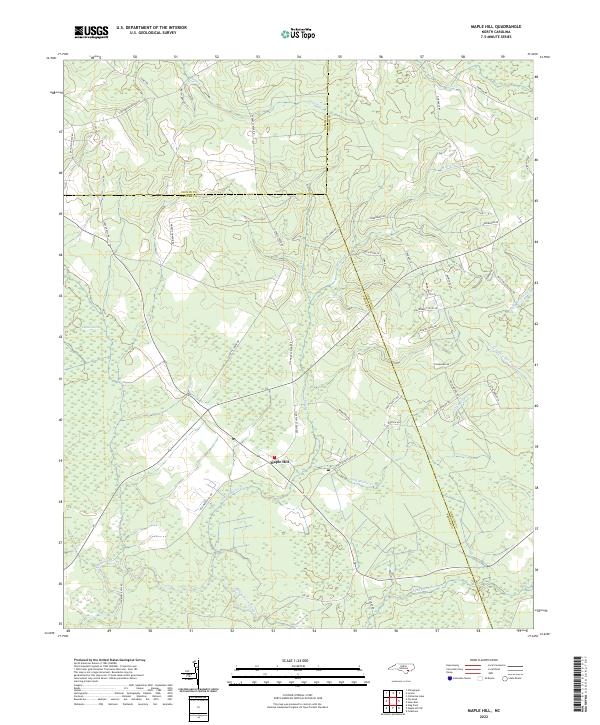 2022 Maple Hill2022 Print · USGSCoastal Pender County and its neighbors come alive in this modern survey of the swamp-fed lowlands. Genealogists can trace family-named routes like Sholar Mill Rd and Gurganus Rd near the sprawling Angola Swamp.
 - 2022 Map of Harrells, 2022 Print
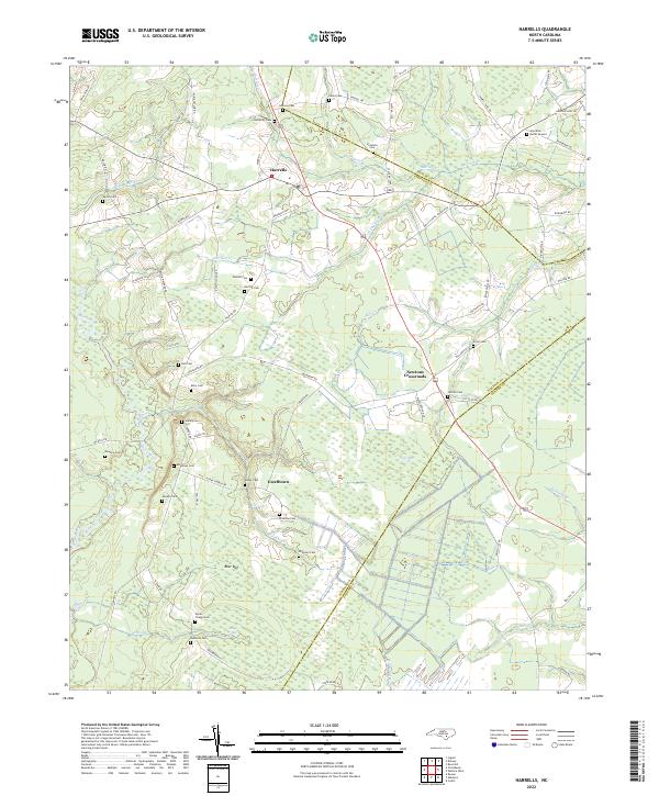 2022 Harrells2022 Print · USGSSampson and Duplin counties are captured here in the early twenty-first century, showing a rural landscape woven together by blackwater creeks and family homesteads. Genealogists can locate numerous burial sites such as Johnson Cem and the Iron Mine Burial Ground, or trace the winding course of the Black River.
 - 2022 Map of Lyman, 2022 Print
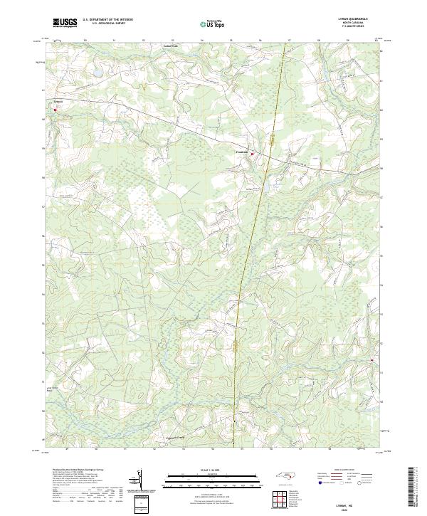 2022 Lyman2022 Print · USGSCoastal North Carolina at the turn of the decade reveals a landscape of rural crossroads and family-named homesteads along the Duplin and Onslow border. Researchers can trace local heritage through landmarks like Lee Baysden Pond, Fountain, and Cedar Fork Church Rd.
 - 2022 Map of Pin Hook, 2022 Print
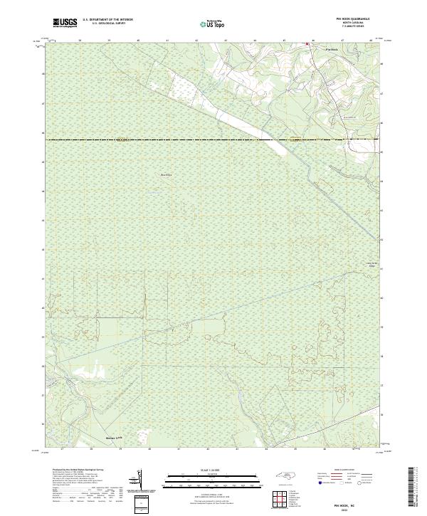 2022 Pin Hook2022 Print · USGSThe coastal plains of Pender and Duplin counties are captured here in the early 2020s, showcasing a landscape defined by expansive wetlands. Researchers can trace rural landmarks like Pin Hook and Shelter Neck, or locate family-named routes such as Tim Cavenaugh Ln.
 - 2022 Map of Delway, 2022 Print
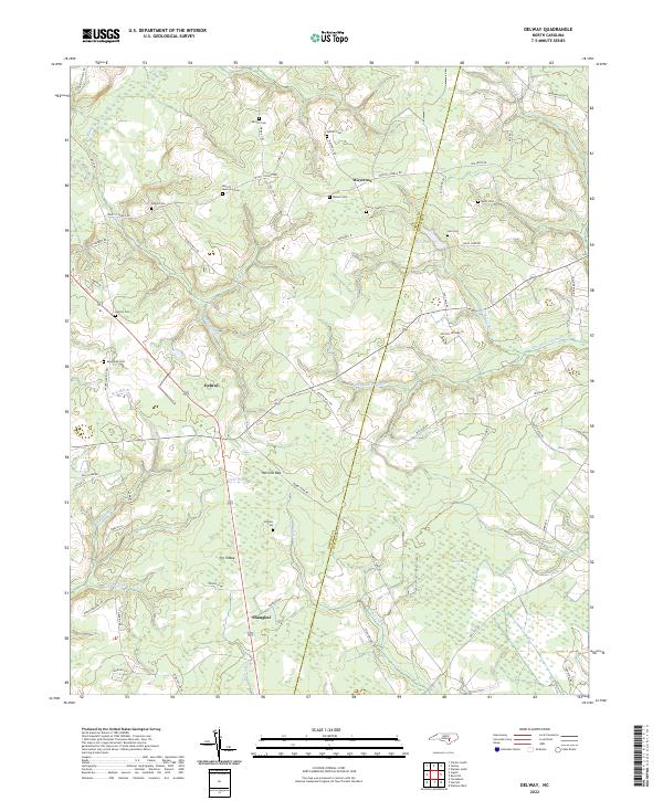 2022 Delway2022 Print · USGSThe rural borderlands of Sampson and Duplin counties are captured here in the early twenty-first century, showcasing a landscape of isolated hamlets and Carolina bays. Genealogists can trace family landmarks like Merritt Memorial Cem, Benton Cem, and the community of Shanghai.
 - 2022 Map of Wallace West, 2022 Print
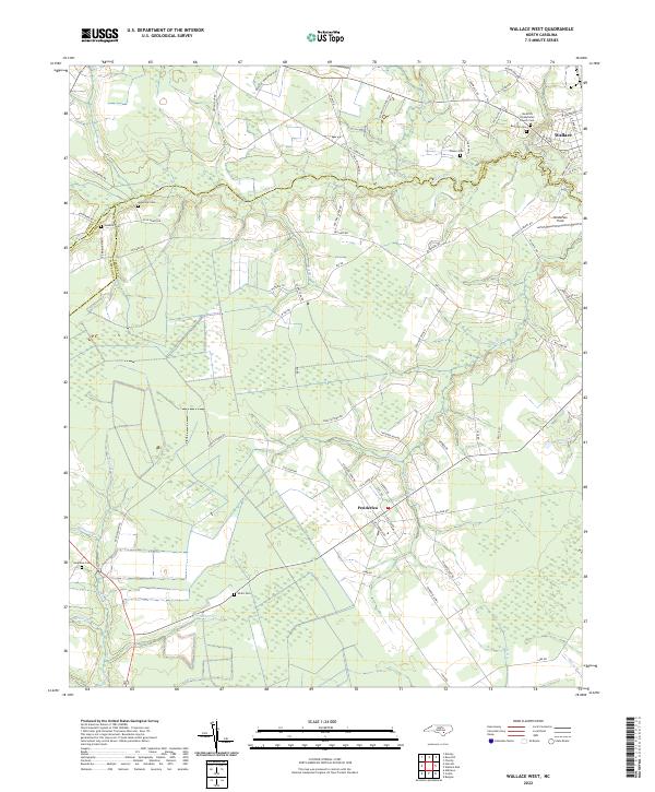 2022 Wallace West2022 Print · USGSThe coastal plain of Pender and Duplin Counties appears here in the early 2020s, showing a landscape of rural crossroads and intricate stream networks. Genealogists can locate family burial sites like Gurganus Cem and White Cem or trace the lands near Penderlea.
 - 2022 Map of Pink Hill, 2022 Print
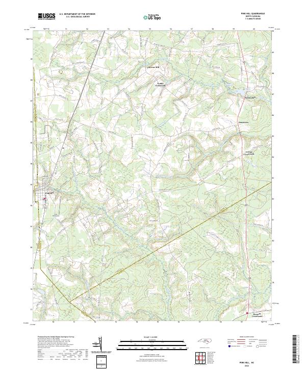 2022 Pink Hill2022 Print · USGSPink Hill and the surrounding coastal plain of Lenoir County are documented here in the early 2020s, showing a landscape of river-bottom swamps and family-named crossroads. Researchers can trace the legacy of local industry and settlement through landmarks like Nobles Millpond, Lawsons Mill, and Jonestown.
 - 2022 Map of Seven Springs, 2022 Print
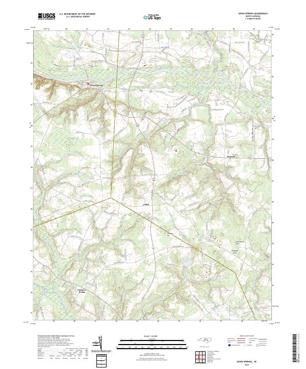 2022 Seven Springs2022 Print · USGSCoastal plain settlements and river bottomlands converge at the junction of Wayne, Lenoir, and Duplin Counties in the early 2020s. Researchers can trace family-named landmarks like Hardy Millpond and Outlaws Bridge or locate the historic center of Seven Springs along the Neuse River.
 - 2022 Map of Albertson, 2022 Print
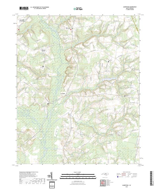 2022 Albertson2022 Print · USGSCoastal plain settlements in Duplin and Lenoir counties appear here in the early twenty-first century. Researchers can locate family landmarks like Will Taylor Cem and Gradys Cem or trace the winding course of the Northeast Cape Fear River.
 - 2022 Map of Summerlins Crossroads, 2022 Print
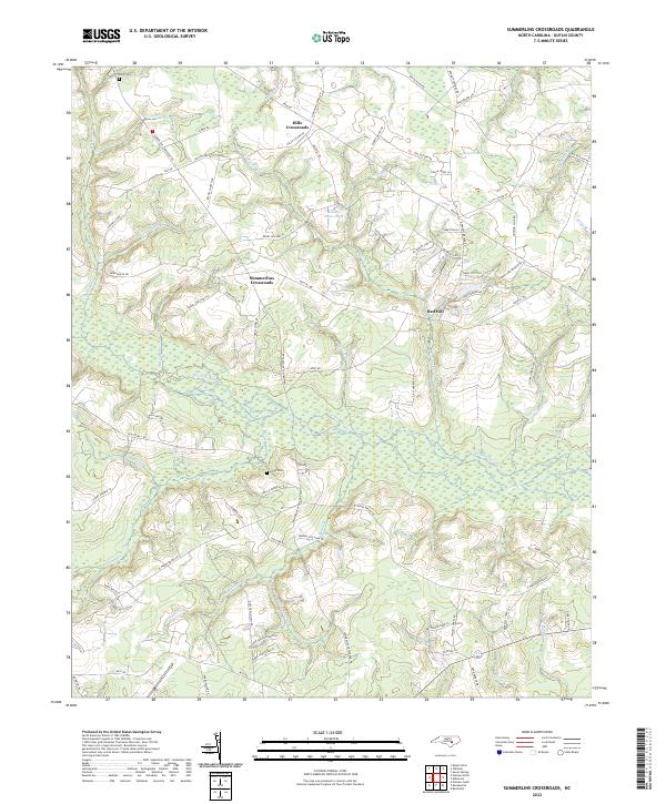 2022 Summerlins Crossroads2022 Print · USGSDuplin County, North Carolina, maintains its rural crossroads character in this contemporary survey of its marshlands and family settlements. Genealogists can locate family landmarks like Pate Cem and Smith Cem alongside the intricate waterways of Goshen Swamp.
 - 2022 Map of Mount Olive, 2022 Print
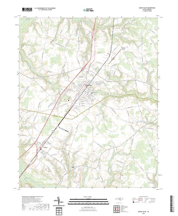 2022 Mount Olive2022 Print · USGSMount Olive and the neighboring village of Calypso are documented in this contemporary survey of the North Carolina coastal plain. Researchers can trace family sites near Maplewood Cem, study the layout of the University of Mount Olive, or follow the Northeast Cape Fear River.
 - 2022 Map of Dobbersville, 2022 Print
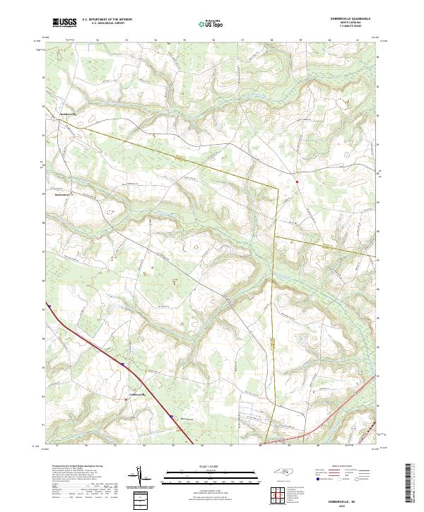 2022 Dobbersville2022 Print · USGSSampson and Wayne County borderlands are mapped here in the early 2020s, showing a landscape defined by traditional agriculture and vast wetlands. Researchers can trace rural lineages through named crossroads like Dobbersville and Suttontown or locate family lands near Bear Pocosin and Goshen Swamp.
 - 2022 Map of Wallace East, 2022 Print
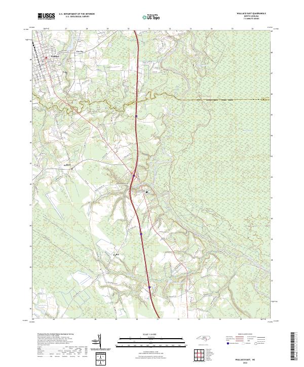 2022 Wallace East2022 Print · USGSCoastal plain communities and wetlands define this Pender County landscape in the early 2020s. Genealogists and local historians can trace family roots through the streets of Wallace, explore the vicinity of Boney Mill Pond, or locate the rural crossroads of Tin City and Watha.
 - 2022 Map of Beulaville, 2022 Print
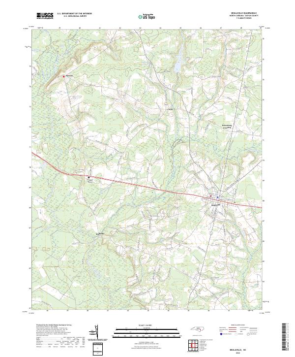 2022 Beulaville2022 Print · USGSBeulaville and the surrounding Duplin County countryside are captured here in the early 2020s, showing a landscape shaped by the Northeast Cape Fear River. Researchers can trace family-named routes and small settlements like Hallsville, Cabin, and Petersburg Crossing.
 - 2022 Map of Kenansville, 2022 Print
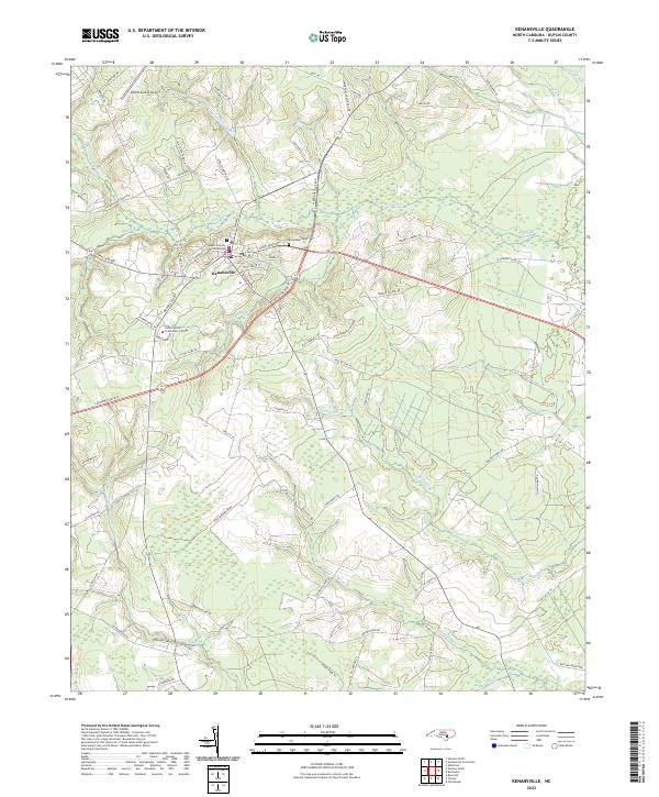 2022 Kenansville2022 Print · USGSKenansville and the low-lying wetlands of Duplin County are captured here in the early twenty-first century. Researchers can trace local landmarks like the Duplin County Courthouse, James Sprunt Community College, and the family-named Routledge Cemetery.
 - 2022 Map of Warsaw North, 2022 Print
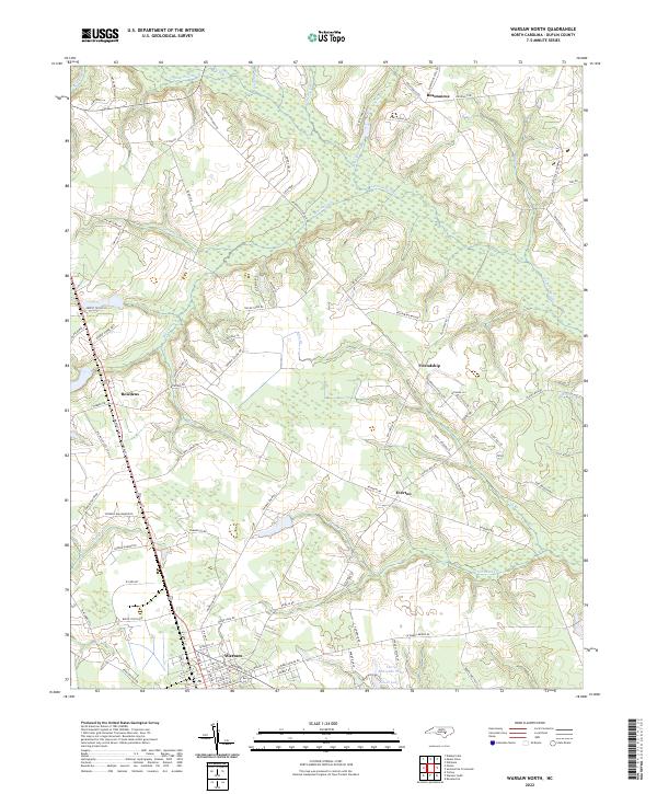 2022 Warsaw North2022 Print · USGSDuplin County is shown in the early 2020s, dominated by the town of Warsaw and the extensive Goshen Swamp. Genealogists can trace local land patterns through family-named routes like Bill Clifton Rd and settlements such as Beautancus and Friendship.
 - 2022 Map of Faison, 2022 Print
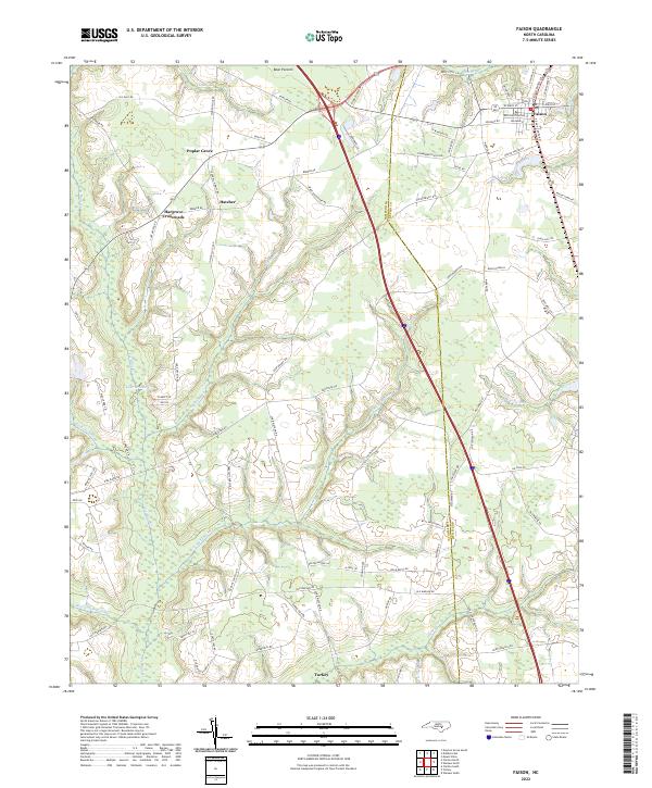 2022 Faison2022 Print · USGSThe rural landscape of Duplin and Sampson Counties is captured here in the early twenty-first century, centered on the historic hub of Faison. Genealogists can trace family-named routes like William Thornton St near Hatcher or explore the swampy reaches of Tenmile Swamp and Bear Pocosin.
 - 2022 Map of Rose Hill, 2022 Print
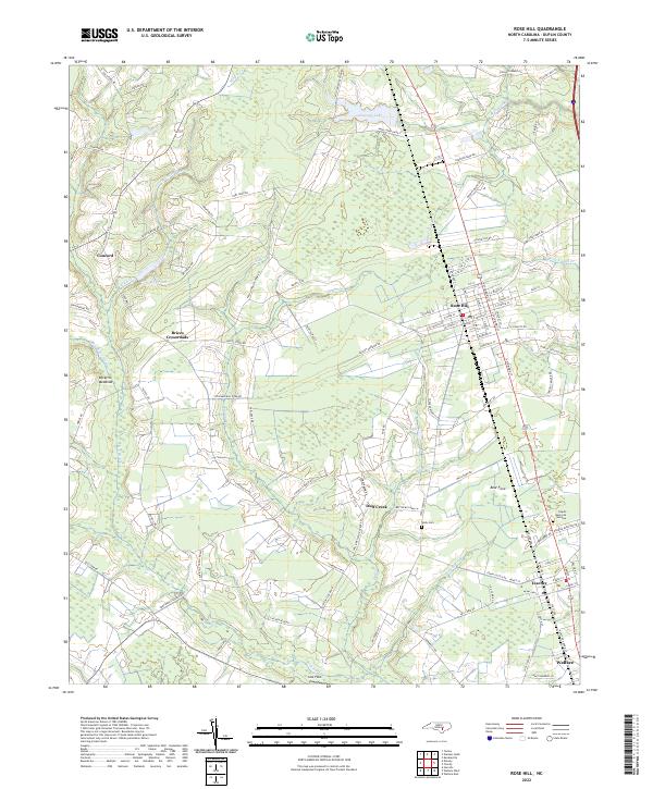 2022 Rose Hill2022 Print · USGSDuplin County's rural landscapes and small towns are captured here in the early twenty-first century. Local historians can trace old homesteads and family names near Wells Cem, Brices Crossroads, and along the banks of Fussell Mill Br.
 - 2022 Map of Williams, 2022 Print
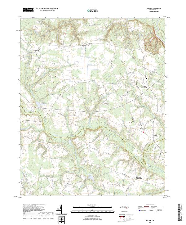 2022 Williams2022 Print · USGSWayne and Duplin counties are captured here in the early 2020s as the river-and-creek landscape continues to shape rural life. Genealogists can trace family landmarks and burial sites like Pineview Cem, Williams Millpond, and Hines Crossroads.
 - 2022 Map of Turkey, 2022 Print
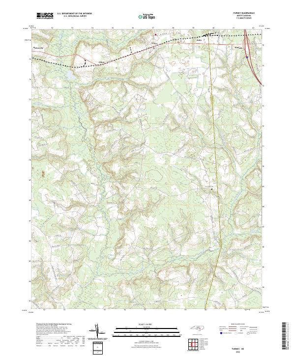 2022 Turkey2022 Print · USGSEastern North Carolina's rural landscape is captured here at the county line between Sampson and Duplin. Genealogists can trace family landmarks along Six Runs Creek or locate local burials at New Hope Cem near the town of Turkey.
End of results
Showing maps 1-24 of 24
Top cities of Duplin County
- Warsaw historical maps
- Rose Hill historical maps
- Beulaville historical maps
- Magnolia historical maps
- Kenansville historical maps
- Faison historical maps
See more
Frequently asked questions
- What are the different types of historical maps available for Duplin County?
- What is the oldest map of Duplin County?
- Where can I purchase historical maps of Duplin County for my home or office?
- Where can I download high-res historical maps of Duplin County?
- Are there historical topographic maps available for Duplin County?
- Is there historical aerial imagery available for Duplin County?
- Where are historical maps of Duplin County sourced from?