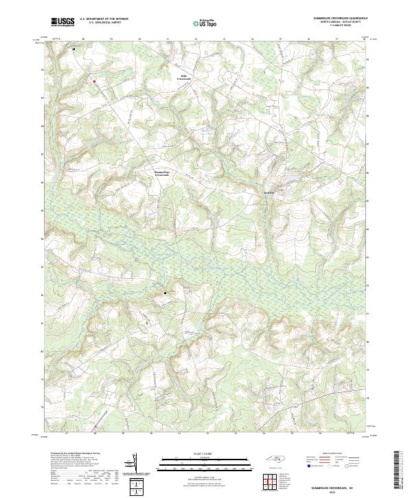
2022 Map of Summerlins Crossroads
USGS Topo · Published 2022About this map
Goshen Swamp and Halls Marsh define the hydrologic character of this Duplin County landscape, where numerous runs and branches converge in a complex network of wetlands. Small rural hubs such as Summerlins Crossroads, Hills Crossroads, and Red Hill serve as the primary points of settlement, connected by a grid of local roads and lanes often named for established local families. Genealogists may find value in the location of the Pate Cem and Smith Cem, which are situated near long-standing family landholdings like the Daniel Chestnut Rd and Emma Pate Ln. The prevalence of named water bodies such as Kinsey Jones Pond and Lightwood Pond suggests a history of local water management and drainage across the coastal plain. This 2022 survey provides a contemporary view of these traditional agricultural and marshland patterns.
Find a feature on this map
84 named features on this map. Tap any name to fly to it.
Don’t see what you’re looking for? This feature index may not catch every label — zoom into the map to look around manually.
Map Details
Editions of this 2022 Summerlins Crossroads Map
This is the sole edition of this map. No revisions or reprints were ever made.
Other maps of this area

1943 · Kenansville
USGS Topo · 1:62,500

1948 · Kenansville
USGS Topo · 1:62,500

1953 · Florence
USGS Topo · 1:250,000

1953 · Rocky Mount
USGS Topo · 1:250,000

1953 · Raleigh
USGS Topo · 1:250,000

1953 · Beaufort
USGS Topo · 1:250,000

1954 · Rocky Mount
USGS Topo · 1:250,000

1954 · Florence
USGS Topo · 1:250,000

1954 · Raleigh
USGS Topo · 1:250,000

1954 · Beaufort
USGS Topo · 1:250,000