2010s Maps of Duplin County, North Carolina
Explore 96 historic maps of Duplin County from the 2010s. These maps offer a rare glimpse into what life looked like during the 2010s — showing old roads, neighborhoods, homes, and landmarks that have changed or disappeared over time.
Whether you're researching your family's past, planning a metal detecting trip, or studying how Duplin County's landscape evolved across the 2010s, these high-resolution maps are a powerful tool for exploring the history of this region.
- Focus on a specific era: All maps on this page are from the 2010s, giving you a focused view of this time period.
- See what’s changed: Compare century-old streets, trails, and buildings to today's modern landscape using overlays and satellite layers.
- Research with precision: Use these maps for genealogy, historical research, land use analysis, or educational projects.
- View, download, or print: Maps are fully viewable online in high resolution, and can be downloaded or printed for your own records.
Start exploring Duplin County's history through authentic maps from the 2010s. This is your window into the past.
Duplin County, NC maps
(96)- 2010 Map of Delway, 2010 Print
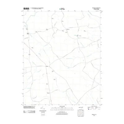 2010 Delway2010 Print · USGSSampson County's rural landscape is captured here in the late 2000s, showing a region defined by its creeks and quiet crossroads. Researchers can trace dozens of family burial sites including Watson Cemetery and Spearman Cemetery near Delway and Shanghai.
 - 2010 Map of Warsaw South, 2010 Print
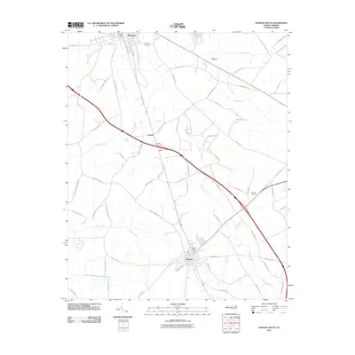 2010 Warsaw South2010 Print · USGSDuplin County towns and rural intersections are mapped here during the early twenty-first century. Genealogists and local historians can trace family-named landmarks and civic centers like the Magnolia Post Office, Pine Crest Cemetery, and the settlement of Carroll.
 - 2010 Map of Rose Hill, 2010 Print
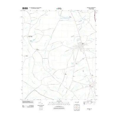 2010 Rose Hill2010 Print · USGSRose Hill and Teachey are captured here at the start of the 2010s, showcasing a landscape of established rural communities and coastal plain watercourses. Researchers can locate family landmarks like the Wells Cemetery or trace regional features such as the Rose Hill Speedway and Bear Ford.
 - 2010 Map of Turkey, 2010 Print
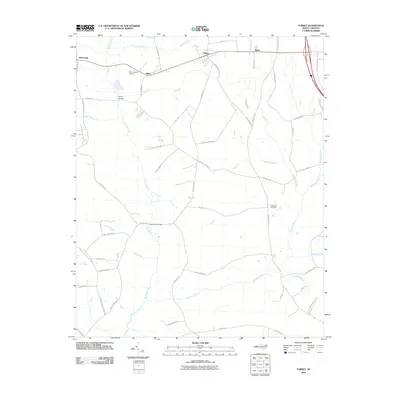 2010 Turkey2010 Print · USGSCoastal plain settlements and milling history define this Duplin County area in the early twenty-first century. Genealogists and local historians can trace rural family roots through features like New Hope Cemetery, Kirbys Bridge, and the community of Turkey.
 - 2010 Map of Wallace West, 2010 Print
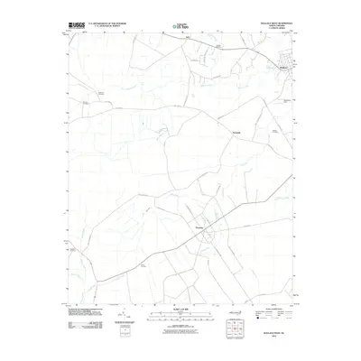 2010 Wallace West2010 Print · USGSPender County's agricultural and aviation landscape comes into focus during the early twenty-first century. Genealogists can trace family heritage at Rockfish Cemetery or White Cemetery while exploring rural hubs like Penderlea and Safe.
 - 2010 Map of Faison, 2010 Print
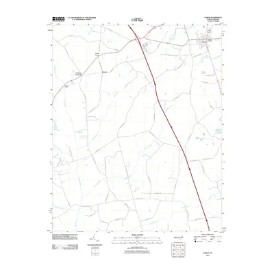 2010 Faison2010 Print · USGSIn Duplin County during the early twenty-first century, the town of Faison and its surrounding wetlands were interconnected by a complex network of rural roads. Genealogists can trace family landmarks and local congregations along Beulah Church Rd, 6 Runs Church Rd, and near Hargrove Crossroads.
 - 2010 Map of Dobbersville, 2010 Print
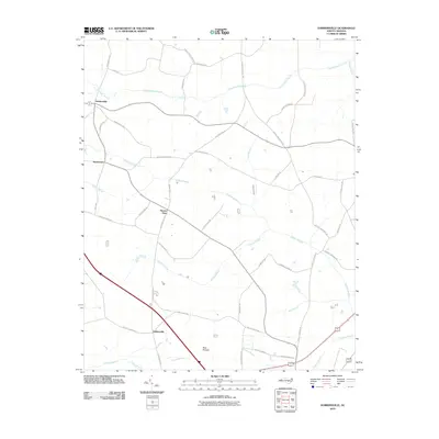 2010 Dobbersville2010 Print · USGSCoastal plain wetlands and small rural settlements define this part of eastern North Carolina in the early twenty-first century. Genealogists and local historians can trace family road names and locate community hubs like Dobbersville, Skeeter Point, and the Bear Pocosin.
 - 2010 Map of Warsaw North, 2010 Print
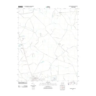 2010 Warsaw North2010 Print · USGSUpper Duplin County's rural communities and drainage systems are detailed in this survey from the early twenty-first century. Researchers can trace family-named routes and small settlements like Beautancus, Friendship, and the area around the Bowden Millpond.
 - 2010 Map of Chinquapin, 2010 Print
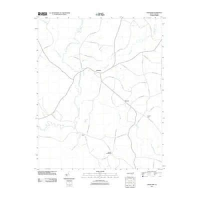 2010 Chinquapin2010 Print · USGSCoastal plain settlements and winding river bottoms define this Duplin County landscape in the early twenty-first century. Genealogists and historians can trace family-named routes like Durwood Evans Rd and find landmarks like the Chinquapin Lookout Tower.
 - 2010 Map of Kenansville, 2010 Print
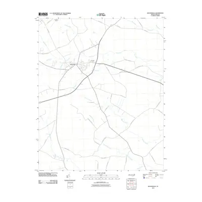 2010 Kenansville2010 Print · USGSKenansville at the turn of the millennium remains a significant hub of Eastern North Carolina crossroads and waterways. Local researchers can trace family landmarks and rural routes like Routledge Cemetery, P B Raiford Airport, and the winding Stocking Head Creek.
 - 2010 Map of Pin Hook, 2010 Print
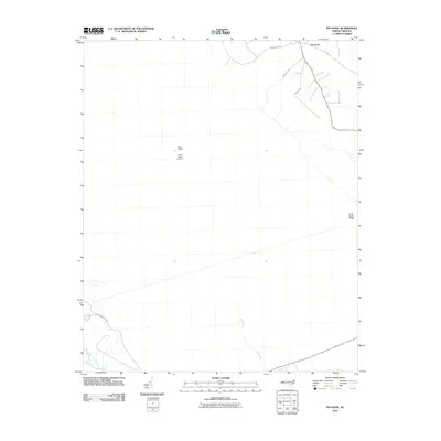 2010 Pin Hook2010 Print · USGSDuplin County's rural landscape is captured here during the early twenty-first century, showing the crossroads at Pin Hook. Researchers can trace the drainage of the Northeast Cape Fear River and locate local landmarks such as Blue Ridge Airfield and Mill Pond.
 - 2010 Map of Lyman, 2010 Print
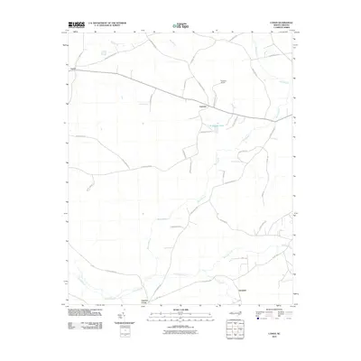 2010 Lyman2010 Print · USGSCoastal plain settlements in Duplin County are captured here at the start of the 21st century, showing a landscape defined by agriculture and wetlands. Researchers can trace family-named landmarks like Lee Baysden Pond and the communities of Lyman and Gurganus.
 - 2010 Map of Potters Hill, 2010 Print
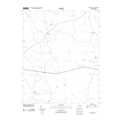 2010 Potters Hill2010 Print · USGSCoastal plain wetlands and rural crossroads define this Onslow County landscape in the early twenty-first century. Genealogists and local historians can trace family roots along roads like Wagon Ford Rd and find established settlements such as Hadley and Quinns Store.
 - 2010 Map of Beulaville, 2010 Print
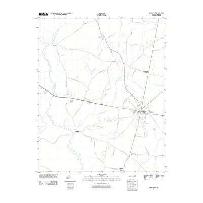 2010 Beulaville2010 Print · USGSDuplin County in the early twenty-first century reveals a landscape shaped by the Northeast Cape Fear River and a network of rural crossroads. Genealogists and local historians can trace family roots through settlements like Sarecta, Jacksons Crossroads, and Catherine Square.
 - 2010 Map of Wallace East, 2010 Print
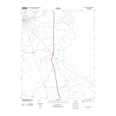 2010 Wallace East2010 Print · USGSThe Pender County interior comes into focus during the early twenty-first century as agricultural landscapes and historic rail corridors remain central to the region. Researchers can locate family landmarks like the Penderlea Homesteads, the Wallace Post Office, and the waters of Boney Mill Pond.
 - 2010 Map of Albertson, 2010 Print
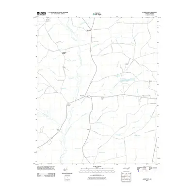 2010 Albertson2010 Print · USGSAlbertson and the surrounding Duplin County countryside are captured here in the early twenty-first century as a landscape defined by the Northeast Cape Fear River. Genealogists can trace family names through landmarks like Taylor Cemetery, Gradys Cemetery, and the community of Kornegay.
 - 2010 Map of Seven Springs, 2010 Print
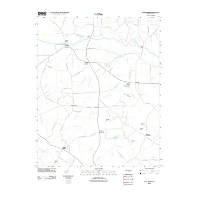 2010 Seven Springs2010 Print · USGSWayne County crossroads and river landings are documented here during the early twenty-first century. Genealogists and local historians can locate ancestral sites near Drummersville, Wootens Crossroads, and the old Whitehall Bridge over the Neuse.
 - 2010 Map of Summerlins Crossroads, 2010 Print
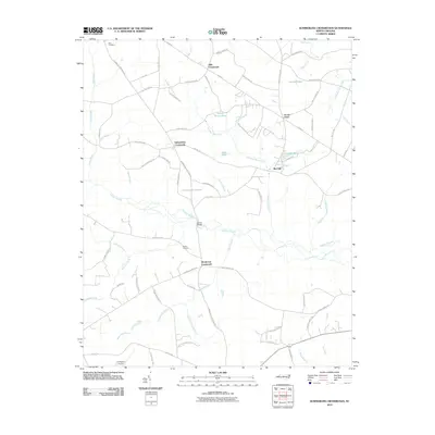 2010 Summerlins Crossroads2010 Print · USGSDuplin County is shown here in the early twenty-first century, a landscape of crossroads communities and swamp drainage. Researchers can trace family history at Pate Cemetery and Smith Cemetery or locate old community hubs like Scotts Store and Red Hill.
 - 2010 Map of Mount Olive, 2010 Print
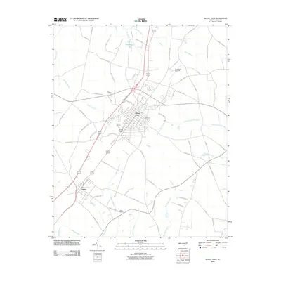 2010 Mount Olive2010 Print · USGSMount Olive and the nearby village of Calypso are depicted in this 2010 survey of Wayne County. Researchers can trace local genealogy and land use through landmarks like Maplewood Cemetery, Wilson Cemetery, and the Northeast Cape Fear River valley.
 - 2010 Map of Maple Hill, 2010 Print
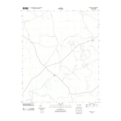 2010 Maple Hill2010 Print · USGSThe community of Maple Hill and the outlying settlement of Angola appear here at the start of the decade, situated among the wetlands of Pender County. Genealogists and local historians can trace family-named routes such as Ander Moore Road and landmarks like Maple Hill School Road.
 - 2010 Map of Charity, 2010 Print
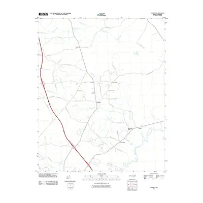 2010 Charity2010 Print · USGSDuplin County at the start of the 2010s shows a landscape of river-bend settlements and rural crossroads. Researchers can trace family roots through Clay Hill Cemetery and locate historic community hubs like Hancheys Store and Cartersville along the Northeast Cape Fear River.
 - 2010 Map of Harrells, 2010 Print
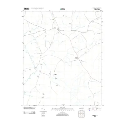 2010 Harrells2010 Print · USGSIn the rural coastal plain of North Carolina, this 2010 survey shows a landscape of family homesteads and blackwater creeks. Researchers can trace local lineage through numerous sites like Iron Mine Burial Park, Ezzelltown, and Newkirks Bridge.
 - 2010 Map of Williams, 2010 Print
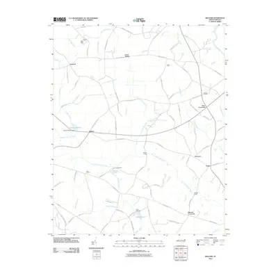 2010 Williams2010 Print · USGSCoastal plain life in the 2010s centered on river bends and quiet crossroads east of the Neuse River. Trace local genealogy and family landmarks at Pricetown, Hines Crossroads, and Jones Cemetery, or explore the hydrology of Williams Millpond and Halls Marsh.
 - 2010 Map of Pink Hill, 2010 Print
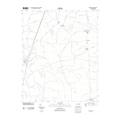 2010 Pink Hill2010 Print · USGSThe rural landscapes of Lenoir and Duplin Counties come to life in this 2010 survey of eastern North Carolina. Researchers can trace family history through numerous named crossroads and mills, including Nobles Crossroads, Lawsons Mill, and the community of Pink Hill.
 - 2013 Map of Delway, 2013 Print
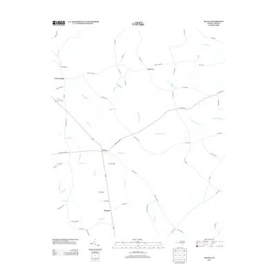 2013 Delway2013 Print · USGSSampson County at the start of the 2010s reveals a landscape of Carolina bays and blackwater creeks. Genealogists can trace family routes like Peg Leg Rd and Alice Kattie Ln near Delway and Shanghai.
Showing maps 1-25 of 96
Top cities of Duplin County
- Warsaw historical maps
- Rose Hill historical maps
- Beulaville historical maps
- Magnolia historical maps
- Kenansville historical maps
- Faison historical maps
See more
Frequently asked questions
- What are the different types of historical maps available for Duplin County?
- What is the oldest map of Duplin County?
- Where can I purchase historical maps of Duplin County for my home or office?
- Where can I download high-res historical maps of Duplin County?
- Are there historical topographic maps available for Duplin County?
- Is there historical aerial imagery available for Duplin County?
- Where are historical maps of Duplin County sourced from?