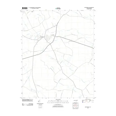
2010 Map of Kenansville
USGS Topo · Published 2010About this map
Kenansville serves as the focal point of this Duplin County landscape, situated at a vital crossroads surrounded by a complex network of wetlands and creeks. The town's layout is defined by its proximity to low-lying drainage systems like Tea Swamp and Grove Creek, which dictate the local topography and historical development patterns. The intersection of major routes like Sarecta Rd and N Dobson Chapel Rd highlights the area's role as a regional connector.
Find a feature on this map
39 named features on this map. Tap any name to fly to it.
Don’t see what you’re looking for? This feature index may not catch every label — zoom into the map to look around manually.
Map Details
Editions of this 2010 Kenansville Map
This is the sole edition of this map. No revisions or reprints were ever made.
Other maps of this area

1943 · Kenansville
USGS Topo · 1:62,500

1948 · Kenansville
USGS Topo · 1:62,500

1953 · Florence
USGS Topo · 1:250,000

1953 · Rocky Mount
USGS Topo · 1:250,000

1953 · Raleigh
USGS Topo · 1:250,000

1953 · Beaufort
USGS Topo · 1:250,000

1954 · Rocky Mount
USGS Topo · 1:250,000

1954 · Florence
USGS Topo · 1:250,000

1954 · Raleigh
USGS Topo · 1:250,000

1954 · Beaufort
USGS Topo · 1:250,000