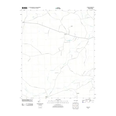
2010 Map of Lyman
USGS Topo · Published 2010About this map
Cypress Creek and the low-lying wetlands of Duplin County define this rural landscape near the turn of the 21st century. The map centers on small farming communities and family settlements such as Lyman, Fountain, and Gurganus, which are connected by a network of local roads including Fountaintown Rd and Cedar Fork Rd. The hydraulic character of the region is evident in the complex drainage systems of Back Swamp and Ninemile Creek, which meander through the flat coastal plain.
Find a feature on this map
38 named features on this map. Tap any name to fly to it.
Don’t see what you’re looking for? This feature index may not catch every label — zoom into the map to look around manually.
Map Details
Editions of this 2010 Lyman Map
This is the sole edition of this map. No revisions or reprints were ever made.
Other maps of this area

1942 · Burgaw
USGS Topo · 1:62,500

1943 · Kenansville
USGS Topo · 1:62,500

1948 · Kenansville
USGS Topo · 1:62,500

1948 · Maple Hill
USGS Topo · 1:62,500

1948 · Richlands
USGS Topo · 1:62,500

1953 · Beaufort
USGS Topo · 1:250,000

1954 · Beaufort
USGS Topo · 1:250,000

1965 · Richlands
USGS Topo · 1:62,500

1972 · Beaufort
USGS Topo · 1:250,000
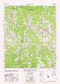
1980 · Richlands
USGS Topo · 1:62,500