2000s (21st Century) Maps of Gates County, North Carolina
Explore 72 historic maps of Gates County from the 2000s (21st Century). These maps offer a rare glimpse into what life looked like during the 2000s — showing old roads, neighborhoods, homes, and landmarks that have changed or disappeared over time.
Whether you're researching your family's past, planning a metal detecting trip, or studying how Gates County's landscape evolved across the 2000s, these high-resolution maps are a powerful tool for exploring the history of this region.
- Focus on a specific era: All maps on this page are from the 2000s, giving you a focused view of this time period.
- See what’s changed: Compare century-old streets, trails, and buildings to today's modern landscape using overlays and satellite layers.
- Research with precision: Use these maps for genealogy, historical research, land use analysis, or educational projects.
- View, download, or print: Maps are fully viewable online in high resolution, and can be downloaded or printed for your own records.
Start exploring Gates County's history through authentic maps from the 2000s. This is your window into the past.
Gates County, NC maps
(72)- 2000 Map of Gatesville, 2002 Print
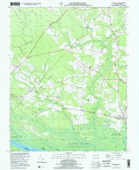 2000 Gatesville2002 Print · USGSCoastal North Carolina at the turn of the millennium reveals a landscape of deep swamps and historic crossroads communities. Trace family roots and local landmarks from Gatesville to Ballards Grove Ch, or explore the winding reaches of Cypress Swamp.
 - 2000 Map of Winton, 2002 Print
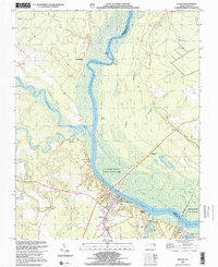 2000 Winton2002 Print · USGSCoastal Plain river life and swamp topography are preserved here in the year 2000, centered on the Chowan River. Local researchers can trace family landmarks and community sites like Brown Sch, Askew Cem, and the riverfront at Chowan Beach.
 - 2010 Map of Gates, 2010 Print
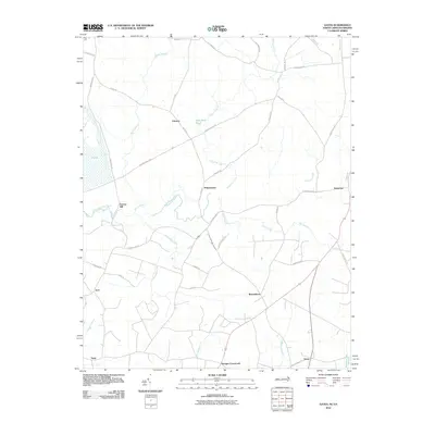 2010 Gates2010 Print · USGSThe North Carolina-Virginia borderlands appear here in the early 2000s, characterized by rural settlements and sprawling swamplands. Researchers can trace the layout of community hubs like Reynoldson, Pittmantown, and Cleopus along the winding banks of Somerton Creek.
 - 2010 Map of Riverdale, 2010 Print
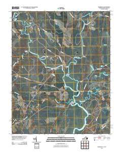 2010 Riverdale2010 Print · USGSThe Virginia and North Carolina borderlands come alive in this map of the river-heavy terrain around the Chowan and Nottoway rivers. Genealogists and historians can trace numerous riverfront landmarks and small settlements like Riddicksville, Cobbs Wharf, and Wyanoke.
 - 2010 Map of Whaleyville, 2010 Print
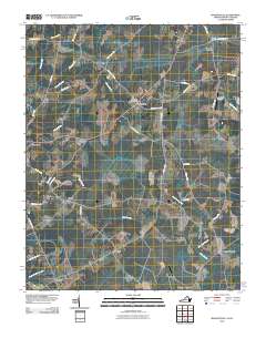 2010 Whaleyville2010 Print · USGSThe borderlands of Virginia and North Carolina are captured here in the early twenty-first century as a landscape of interconnected swamplands and rural hamlets. Local historians can trace the geography of communities like Whaleyville, Somerton, and Wiggins Crossroads, or locate specific landmarks like the Whaleyville Post Office and Harrell Siding.
 - 2010 Map of Mintonsville, 2010 Print
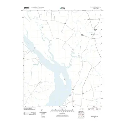 2010 Mintonsville2010 Print · USGSThe riverfront of Gates County is captured here in the early twenty-first century, showing a landscape defined by the Chowan River and its many creek systems. Researchers can trace the heritage of local commerce and navigation at Cannon Ferry, Woodleys Wharf, and the many landings along Bennetts Creek.
 - 2010 Map of Harrellsville, 2010 Print
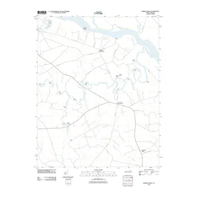 2010 Harrellsville2010 Print · USGSHarrellsville and the Chowan River lowlands are captured here in the early twenty-first century, showing a landscape defined by historic water travel. Researchers can trace numerous old river landings and crossings, including Brick Cellar Landing, the Boone Harrell Ferry, and Pettys Shore.
 - 2010 Map of Gatesville, 2010 Print
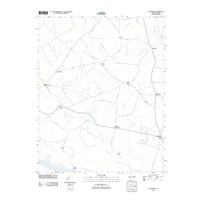 2010 Gatesville2010 Print · USGSGatesville and the rural corners of Gates County are captured here in the early twenty-first century. Researchers can trace family ties and local geography through landmarks like the Eure Post Office, the Chowan River shoreline at Rays Beach, and numerous junctions like Ballard Crossroads.
 - 2010 Map of Winton, 2010 Print
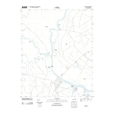 2010 Winton2010 Print · USGSHertford County river life is captured here in the early twenty-first century, centered on the historic town of Winton. Genealogists and local historians can trace old river crossings like Parkers Ferry and Jones Ferry, or find the Askew Cemetery and Harrells Mill.
 - 2010 Map of Sunbury, 2010 Print
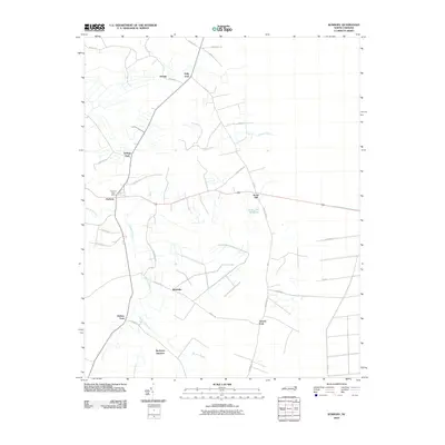 2010 Sunbury2010 Print · USGSThe rural crossroads of Gates County are captured here in the early twenty-first century. Genealogists and historians can trace family-named landmarks such as Kellogs Fork, Hoflers Fork, and the waters of the Acorn Hill Millpond.
 - 2010 Map of Chapanoke, 2010 Print
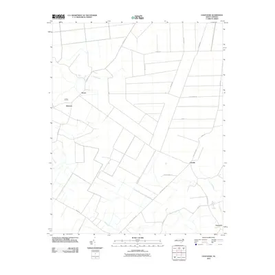 2010 Chapanoke2010 Print · USGSPerquimans County at the start of the 2010s shows a landscape defined by coastal plain drainage and quiet rural communities. Researchers can locate family landmarks like Up River Cemetery or trace old routes like Turnpike Rd through Nicanor and Chapanoke.
 - 2010 Map of Lynchs Corner, 2010 Print
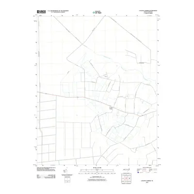 2010 Lynchs Corner2010 Print · USGSPasquotank County at the start of the twenty-first century reveals a landscape shaped by water management and timber tracts. Researchers can trace rural settlement patterns and local landmarks like Lynchs Corner, Tadmore, and the engineered Newland Drainage Canal.
 - 2010 Map of Hobbsville, 2010 Print
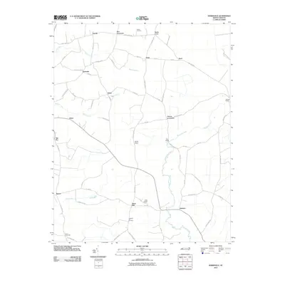 2010 Hobbsville2010 Print · USGSCoastal plain settlements and winding river systems define this portion of Gates and Perquimans counties at the start of the century. Genealogists and local historians can trace old community lines and landmarks like Piney Woods Cemetery, Belvidere, and the Upriver Bridge.
 - 2011 Map of Corapeake, 2011 Print
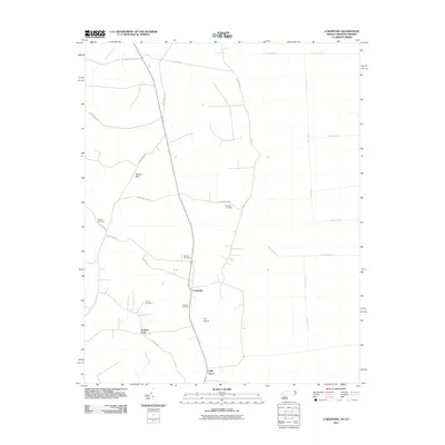 2011 Corapeake2011 Print · USGSCorapeake and the surrounding Gates County countryside appear in this modern survey of the North Carolina borderlands. Researchers can locate several family burial grounds like Jones Cemetery and Riddick Cemetery among the many canals and ditches.
 - 2011 Map of Lake Drummond, 2011 Print
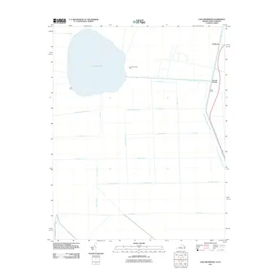 2011 Lake Drummond2011 Print · USGSThe Great Dismal Swamp at the start of the 2010s reveals a complex landscape of historic water management and secluded landings. Researchers can trace the geometric grid of old drainage routes like Riddick Ditch and Kim Saunders Ditch or locate outposts such as Arbuckle Landing and Jacks Camp.
 - 2011 Map of Merchants Millpond, 2011 Print
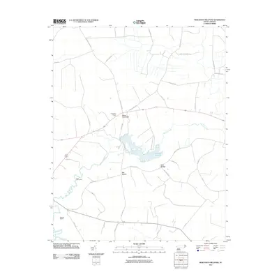 2011 Merchants Millpond2011 Print · USGSCoastal plain wetlands and small agricultural communities define this Gates County landscape in the early twenty-first century. Researchers can locate family-named landmarks and old water access points like Vivian, Eason Crossroads, and Sandy Field Landing.
 - 2013 Map of Hobbsville, 2013 Print
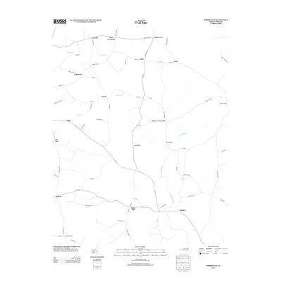 2013 Hobbsville2013 Print · USGSThe rural crossroads of northeastern North Carolina are documented here in the early twenty-first century as agricultural life continues along the Perquimans River. Researchers can trace local lineage through numerous named settlements and landmarks like Belvidere, Hobbsville, and Perry Bridge.
 - 2013 Map of Merchants Millpond, 2013 Print
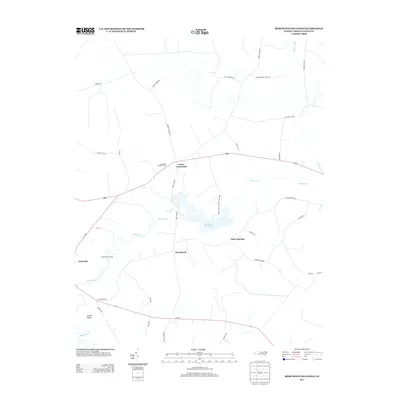 2013 Merchants Millpond2013 Print · USGSCoastal plain wetlands and rural crossroads define this Gates County landscape in the early twenty-first century. Genealogists and local historians can trace family-named routes and landmarks like Eason Crossroads, Sandy Field Landing, and the Chesapeake Lookout Tower.
 - 2013 Map of Sunbury, 2013 Print
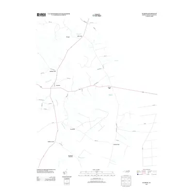 2013 Sunbury2013 Print · USGSCoastal plain wetlands and rural crossroads define this corner of Gates County in the early twenty-first century. Genealogists can trace family-named locales like Hoflers Fork, Wardville, and the waters of Acorn Hill Millpond near the center of Sunbury.
 - 2013 Map of Winton, 2013 Print
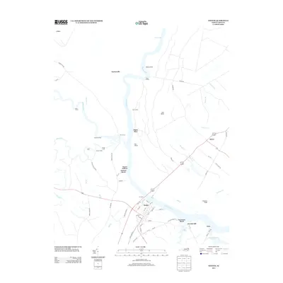 2013 Winton2013 Print · USGSHertford County river life is detailed here in the early twenty-first century, centered on the bend of the Chowan River. Researchers can trace old family sites and river access points like Pipkin Place, Mitchell Landing, and the settlement of Bartonsville.
 - 2013 Map of Gatesville, 2013 Print
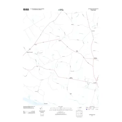 2013 Gatesville2013 Print · USGSThe rural landscape of Gates County appears here in the early 21st century, centered on the county seat and its surrounding crossroads. Researchers can trace family-named landmarks and old watercourses such as Buckland Mill Br, Sarem, and Fort Island.
 - 2013 Map of Harrellsville, 2013 Print
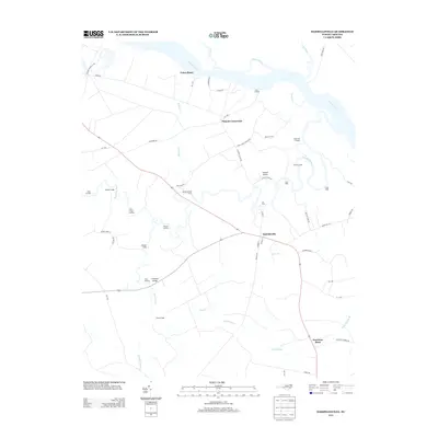 2013 Harrellsville2013 Print · USGSHertford County's river-driven landscape is captured here in the early twenty-first century, showing a network of historic landings and rural crossroads. Researchers can trace ancestral connections to places like Harrellsville, Pilands Crossroads, and the Boone Harrell Ferry.
 - 2013 Map of Chapanoke, 2013 Print
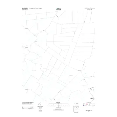 2013 Chapanoke2013 Print · USGSPerquimans County's rural landscape is captured here in the early twenty-first century, showing the established crossroads and riverfront reaches. Genealogists and local historians can trace family locations near Nicanor, Parkville, and the banks of the Little River.
 - 2013 Map of Mintonsville, 2013 Print
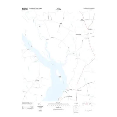 2013 Mintonsville2013 Print · USGSCoastal North Carolina at the turn of the millennium remains a landscape defined by its river-bend landings and rural junctions. Genealogists and local historians can trace family-named sites such as Roberts Landing, Hutson Corner, and the community of Mintonsville.
 - 2013 Map of Lynchs Corner, 2013 Print
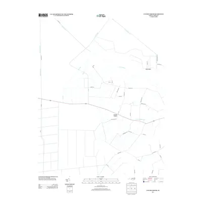 2013 Lynchs Corner2013 Print · USGSCoastal North Carolina drainage and rural settlements are the focus here in the early twenty-first century. Genealogists and local historians can trace the road networks around Lynchs Corner, Horseshoe, and the banks of the Pasquotank River.
Showing maps 1-25 of 72
Top cities of Gates County
Frequently asked questions
- What are the different types of historical maps available for Gates County?
- What is the oldest map of Gates County?
- Where can I purchase historical maps of Gates County for my home or office?
- Where can I download high-res historical maps of Gates County?
- Are there historical topographic maps available for Gates County?
- Is there historical aerial imagery available for Gates County?
- Where are historical maps of Gates County sourced from?