2000s (21st Century) Maps of Tulula, North Carolina
Explore 6 historic maps of Tulula from the 2000s (21st Century). These maps offer a rare glimpse into what life looked like during the 2000s — showing old roads, neighborhoods, homes, and landmarks that have changed or disappeared over time.
Whether you're researching your family's past, planning a metal detecting trip, or studying how Tulula's landscape evolved across the 2000s, these high-resolution maps are a powerful tool for exploring the history of this region.
- Focus on a specific era: All maps on this page are from the 2000s, giving you a focused view of this time period.
- See what’s changed: Compare century-old streets, trails, and buildings to today's modern landscape using overlays and satellite layers.
- Research with precision: Use these maps for genealogy, historical research, land use analysis, or educational projects.
- View, download, or print: Maps are fully viewable online in high resolution, and can be downloaded or printed for your own records.
Start exploring Tulula's history through authentic maps from the 2000s. This is your window into the past.
Tulula, NC maps
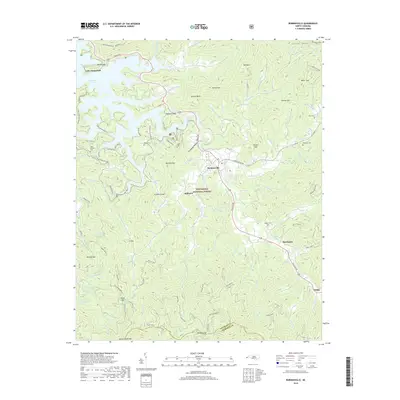
(6)- 2000 Map of Robbinsville, 2001 Print
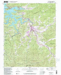 2000 Robbinsville2001 Print · USGSRobbinsville and the surrounding Graham County mountain valleys are shown here at the turn of the millennium. Genealogists can locate several family burial grounds like Massey Cem and Rice Cem, or trace the cultural site of the Zion Hill Ch Snowbird Cherokee Indian Sch.
 - 2011 Map of Robbinsville, 2011 Print
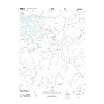 2011 Robbinsville2011 Print · USGSCovers Tulula, including Robbinsville, Lake Santeetlah, and other nearby areas
 - 2013 Map of Robbinsville, 2013 Print
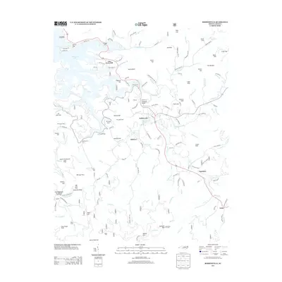 2013 Robbinsville2013 Print · USGSCovers Tulula, including Robbinsville, Lake Santeetlah, and other nearby areas
 - 2016 Map of Robbinsville, 2016 Print
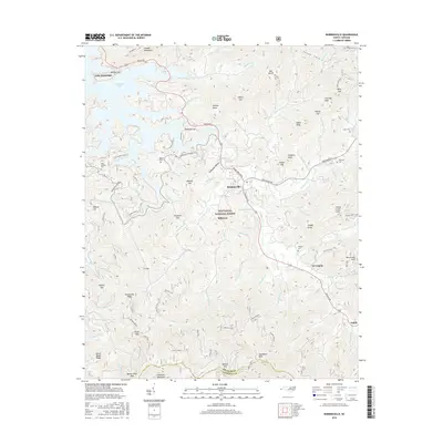 2016 Robbinsville2016 Print · USGSCovers Tulula, including Robbinsville, Lake Santeetlah, and other nearby areas
 - 2019 Map of Robbinsville, 2019 Print
 2019 Robbinsville2019 Print · USGSCovers Tulula, including Robbinsville, Lake Santeetlah, and other nearby areas
 - 2022 Map of Robbinsville, 2022 Print
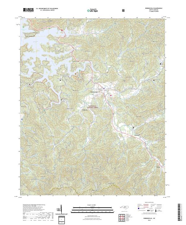 2022 Robbinsville2022 Print · USGSThe mountain town of Robbinsville is captured here in the early 2020s, showing its role as the seat of Graham County. Researchers can trace family history through several sites like the Buffalo Baptist Church Graveyard or locate landmarks such as the Joanna Tower and Massey Quarry.
End of results
Showing maps 1-6 of 6
Top cities near Tulula
- Andrews historical maps
- Robbinsville historical maps
- Hayesville historical maps
- Lake Santeetlah historical maps
- Fontana Dam historical maps
Frequently asked questions
- What are the different types of historical maps available for Tulula?
- What is the oldest map of Tulula?
- Where can I purchase historical maps of Tulula for my home or office?
- Where can I download high-res historical maps of Tulula?
- Are there historical topographic maps available for Tulula?
- Is there historical aerial imagery available for Tulula?
- Where are historical maps of Tulula sourced from?