2020s Maps of Haywood County, North Carolina
Explore 20 historic maps of Haywood County from the 2020s. These maps offer a rare glimpse into what life looked like during the 2020s — showing old roads, neighborhoods, homes, and landmarks that have changed or disappeared over time.
Whether you're researching your family's past, planning a metal detecting trip, or studying how Haywood County's landscape evolved across the 2020s, these high-resolution maps are a powerful tool for exploring the history of this region.
- Focus on a specific era: All maps on this page are from the 2020s, giving you a focused view of this time period.
- See what’s changed: Compare century-old streets, trails, and buildings to today's modern landscape using overlays and satellite layers.
- Research with precision: Use these maps for genealogy, historical research, land use analysis, or educational projects.
- View, download, or print: Maps are fully viewable online in high resolution, and can be downloaded or printed for your own records.
Start exploring Haywood County's history through authentic maps from the 2020s. This is your window into the past.
Haywood County, NC maps
(20)- 2022 Map of Mount Guyot, 2022 Print
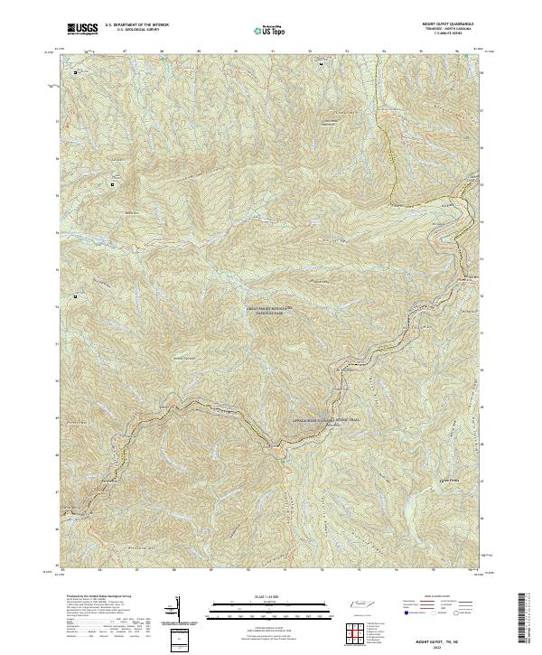 2022 Mount Guyot2022 Print · USGSThe Tennessee and North Carolina borderlands come into focus in this recent survey of the Great Smoky Mountains. Genealogists can locate several remote family burial sites like Huff Cemetery and Green Cemetery near historic paths such as the Old Settlers Trail.
 - 2022 Map of Waynesville, 2022 Print
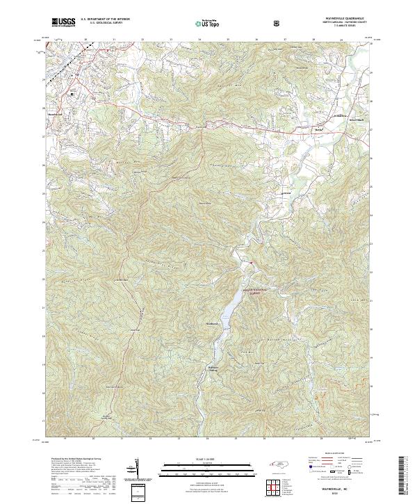 2022 Waynesville2022 Print · USGSHaywood County's mountain valleys and high ridges are shown here in the early 2020s as modern growth meets public forest land. Genealogists and hikers can trace the terrain around Lake Logan, the historic Green Hill Cem, and local landmarks like Burnett Siding.
 - 2022 Map of Luftee Knob, 2022 Print
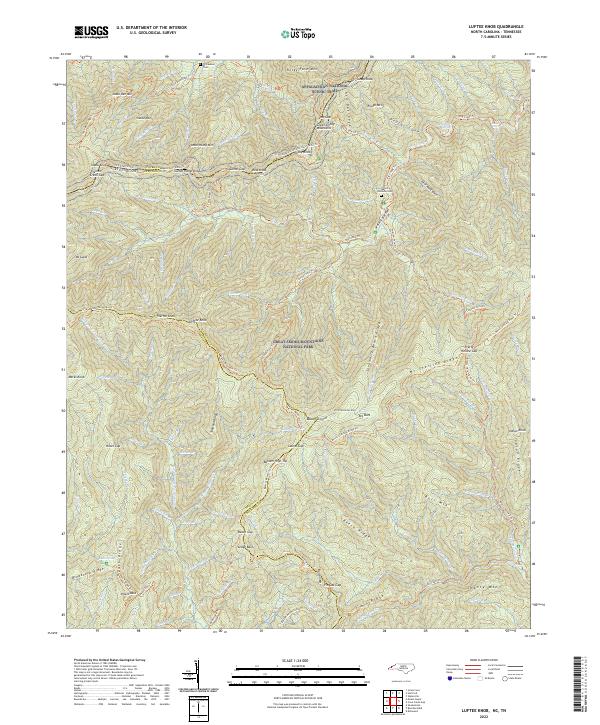 2022 Luftee Knob2022 Print · USGSThe high peaks of the Smokies are captured here during the 2020s, showing the intersection of Haywood and Swain Counties along the Tennessee state line. Hikers and genealogists can trace the Appalachian National Scenic Trail or locate remote burial sites like Williamson Cem and Walnut Bottoms Cem.
 - 2022 Map of Cove Creek Gap, 2022 Print
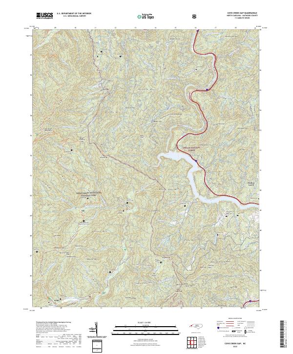 2022 Cove Creek Gap2022 Print · USGSHaywood County is shown in this contemporary study of the border between the Great Smoky Mountains and Pisgah National Forest. Researchers can trace ancestral sites like the Little Cataloochee Baptist Church, Palmer Chapel, and the O E Kerr African Cem.
 - 2022 Map of Tuckasegee, 2022 Print
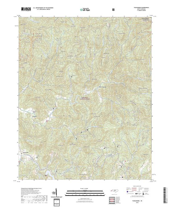 2022 Tuckasegee2022 Print · USGSJackson County's high ridges and river valleys are captured here in the early twenty-first century, showing the enduring mountain settlements. Researchers can trace family history through numerous burial sites like Cathey Cem and Brown Cem near Tuckasegee.
 - 2022 Map of Sylva North, 2022 Print
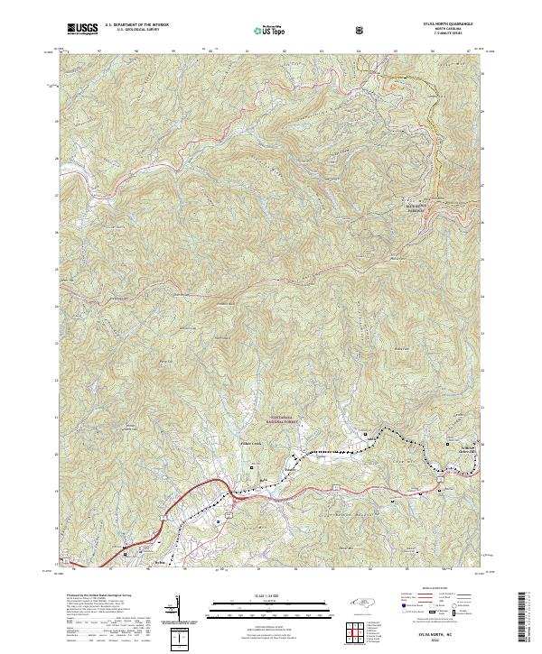 2022 Sylva North2022 Print · USGSSylva and the surrounding Balsam Mountains are captured here in the early twenty-first century as modern transit corridors follow the paths of historic valley settlements. Researchers can trace family history through numerous mountain burial sites like Dills Cem or Henry Cogdill Cem and locate the Jackson County Courthouse.
 - 2022 Map of Dellwood, 2022 Print
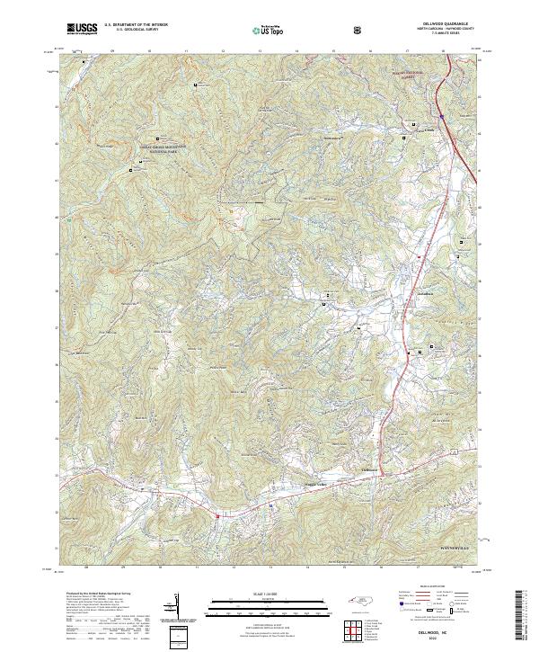 2022 Dellwood2022 Print · USGSThe Great Smoky Mountains meet the Pisgah National Forest in these Haywood County highlands during the early 2020s. Researchers can trace deep family roots at the Sutton-Caldwell Family Cem or the Old Brown Cem near Maggie Valley.
 - 2022 Map of Bunches Bald, 2022 Print
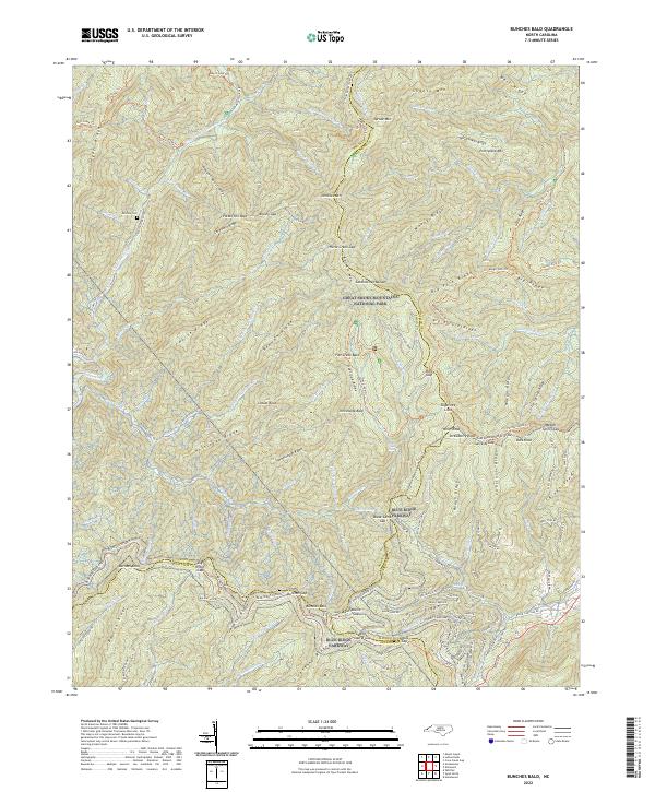 2022 Bunches Bald2022 Print · USGSThis part of the Smokies on the Swain and Haywood county line is shown here in its modern conservation era. Genealogists and hikers can trace high-altitude landmarks and family history sites like McGhee Cem, the Blue Ridge Parkway, and Potato Hill Bald.
 - 2022 Map of Waterville, 2022 Print
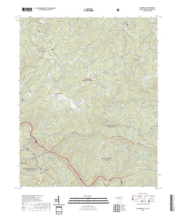 2022 Waterville2022 Print · USGSThe North Carolina and Tennessee borderlands meet here among the peaks of the Great Smokies and Pisgah Forest. Genealogists and hikers can trace the Appalachian Trail past family landmarks like Varner Cem and Jonas Phillips Cem.
 - 2022 Map of Canton, 2022 Print
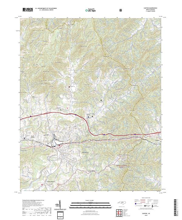 2022 Canton2022 Print · USGSCanton and its surrounding valley communities are captured in the early 2020s, showing a landscape where mountain ridges meet industrial river towns. Genealogists can trace numerous family burial sites like Smathers Cem and Clark Chapel Cem near neighborhoods such as Fibreville and Morning Star.
 - 2022 Map of Fines Creek, 2022 Print
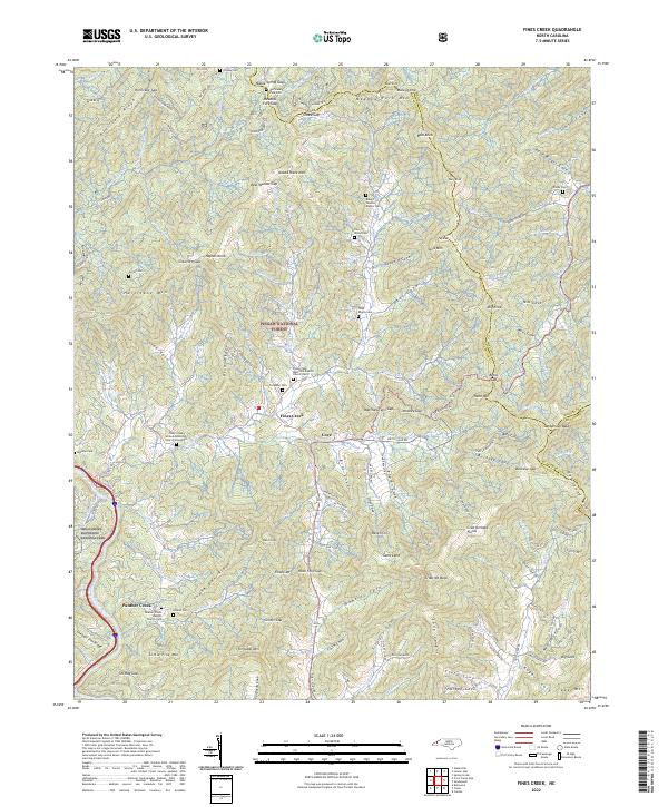 2022 Fines Creek2022 Print · USGSHaywood County’s high-country settlements and family homesteads are documented here as they appeared in the early 2020s. Genealogists can locate numerous family burial grounds like the Woody Cem and Noland Cem alongside the historic Fines Creek community.
 - 2022 Map of Shining Rock, 2022 Print
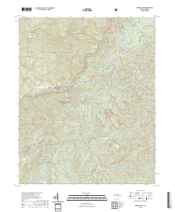 2022 Shining Rock2022 Print · USGSThe Southern Appalachian highlands are documented here in the early twenty-first century, showing the dense trail networks of the Pisgah National Forest. Hikers and historians can trace the Blue Ridge Parkway through high-altitude gaps and find landmarks like Shining Rock or The Pink Beds.
 - 2022 Map of Lemon Gap, 2022 Print
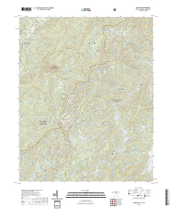 2022 Lemon Gap2022 Print · USGSNorth Carolina's high mountain border is documented here in the early twenty-first century. Genealogists and hikers can trace family roots at Crowder Cem or follow the Appalachian National Scenic Trail past Max Patch Mtn.
 - 2022 Map of Sam Knob, 2022 Print
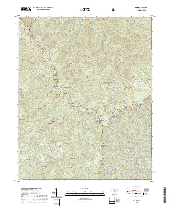 2022 Sam Knob2022 Print · USGSThe high ridges of the Great Balsam Mountains are captured here in the early twenty-first century, showing where the Nantahala National Forest and Pisgah National Forest converge. Trace the winding Blue Ridge Parkway past Richland Balsam and Balsam Lake.
 - 2022 Map of Dunsmore Mountain, 2022 Print
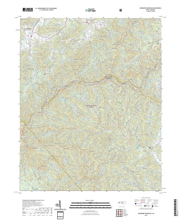 2022 Dunsmore Mountain2022 Print · USGSThe high ridges of the Blue Ridge southwest of Asheville are captured here in the early twenty-first century, showing the intersection of four North Carolina counties. Local historians and hikers can trace family sites like O'Kelley Cem and the Stuart Cem or explore the extensive trail systems near Lake Powhatan and the Blue Ridge Parkway.
 - 2022 Map of Cruso, 2022 Print
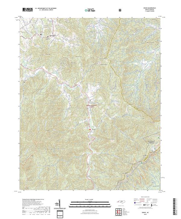 2022 Cruso2022 Print · USGSHaywood County’s high peaks and deep coves are recorded here in the early 2020s, showing the intersection of mountain wilderness and small valley settlements. Researchers can locate remote burial grounds like Mount Zion Cem and landmarks such as the Longs Community Center near Spring Hill.
 - 2022 Map of Clyde, 2022 Print
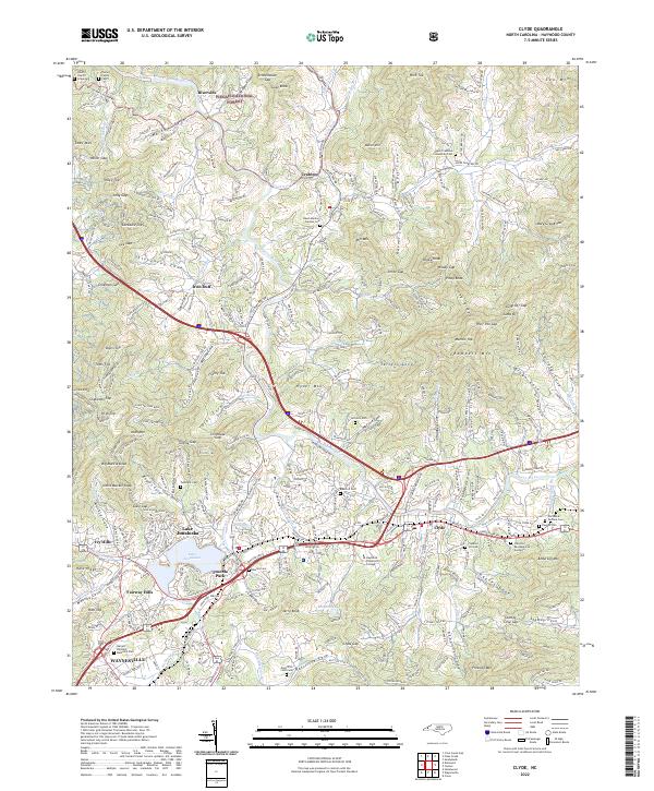 2022 Clyde2022 Print · USGSIn the heart of Haywood County, the Pigeon River valley shows a landscape of established mountain towns and deep-rooted family coves. Genealogists can trace local heritage through Medford Cem, Crabtree Church, and Lake Junaluska.
 - 2022 Map of Sandymush, 2022 Print
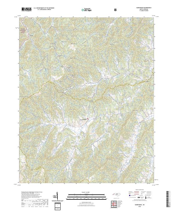 2022 Sandymush2022 Print · USGSThe high country of the Blue Ridge comes into focus in the early 2020s, showing the intricate mountain coves of western North Carolina. Genealogists and hikers can trace the winding paths of Suttle Cove Rd near Sandymush or explore the gaps around Luck.
 - 2022 Map of Hartford, 2022 Print
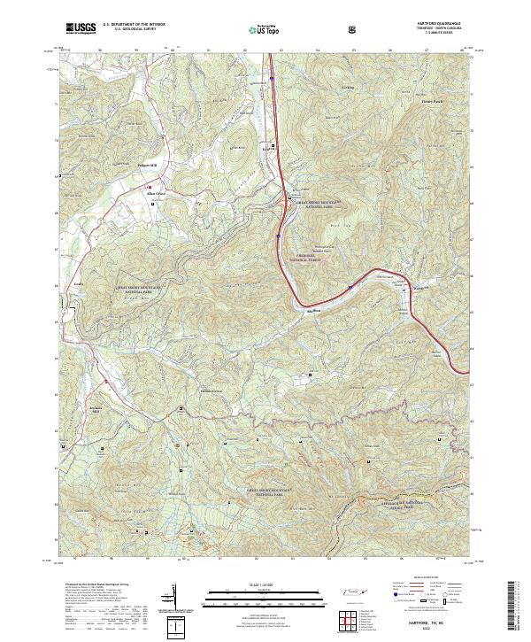 2022 Hartford2022 Print · USGSUpper Cocke County and the North Carolina state line are shown here as the twenty-first century began, dominated by the protected wilderness of the Smokies. Genealogists can trace family heritage through isolated sites like Shultz Cem and McMillan Cem along the Pigeon River.
 - 2023 Map of Hazelwood, 2023 Print
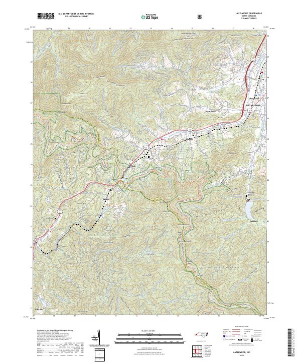 2023 Hazelwood2023 Print · USGSThe high ridges of the Blue Ridge Mountains frame these western North Carolina communities in the early twenty-first century. Genealogists and local historians can trace family sites like Redbank Cem or visit the Rocky Branch Baptist Church and Ruby City.
End of results
Showing maps 1-20 of 20
Top cities of Haywood County
Frequently asked questions
- What are the different types of historical maps available for Haywood County?
- What is the oldest map of Haywood County?
- Where can I purchase historical maps of Haywood County for my home or office?
- Where can I download high-res historical maps of Haywood County?
- Are there historical topographic maps available for Haywood County?
- Is there historical aerial imagery available for Haywood County?
- Where are historical maps of Haywood County sourced from?