2000s (21st Century) Maps of Haywood County, North Carolina
Explore 105 historic maps of Haywood County from the 2000s (21st Century). These maps offer a rare glimpse into what life looked like during the 2000s — showing old roads, neighborhoods, homes, and landmarks that have changed or disappeared over time.
Whether you're researching your family's past, planning a metal detecting trip, or studying how Haywood County's landscape evolved across the 2000s, these high-resolution maps are a powerful tool for exploring the history of this region.
- Focus on a specific era: All maps on this page are from the 2000s, giving you a focused view of this time period.
- See what’s changed: Compare century-old streets, trails, and buildings to today's modern landscape using overlays and satellite layers.
- Research with precision: Use these maps for genealogy, historical research, land use analysis, or educational projects.
- View, download, or print: Maps are fully viewable online in high resolution, and can be downloaded or printed for your own records.
Start exploring Haywood County's history through authentic maps from the 2000s. This is your window into the past.
Haywood County, NC maps
(105)- 2000 Map of Bunches Bald, 2001 Print
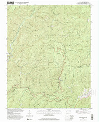 2000 Bunches Bald2001 Print · USGSThe high ridges of the Great Smoky Mountains meet the Cherokee Indian Reservation at the turn of the millennium. Local historians can trace the paths of the Blue Ridge Parkway past the Big Cove Mission and the Masonic Monument.
 - 2000 Map of Mount Guyot, 2001 Print
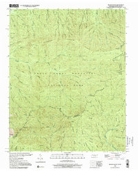 2000 Mount Guyot2001 Print · USGSThe high crest of the Smokies at the turn of the millennium remains a wilderness of named peaks and mountain trails along the state line. Trace the path of the Appalachian National Scenic Trail past Mount Guyot, Charles Bunion, and Tricorner Knob.
 - 2000 Map of Luftee Knob, 2001 Print
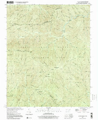 2000 Luftee Knob2001 Print · USGSThe high ridges of the Great Smokies meet at the border of North Carolina and Tennessee in this early twenty-first-century survey. Hikers and historians can trace the Appalachian Trail across Cosby Knob and locate the path of an Old Railroad Grade near Balsam High Top.
 - 2003 Map of Hartford, 2004 Print
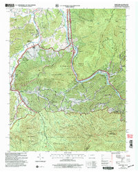 2003 Hartford2004 Print · USGSThe Tennessee and North Carolina borderlands come to life in this survey of the Pigeon River corridor as it appeared after the turn of the millennium. Researchers can trace family roots at Ogle Chapel, find historic mill sites like Jenkins Mill, and locate long-standing landmarks such as Catons Grove.
 - 2003 Map of Waterville, 2004 Print
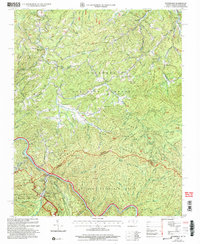 2003 Waterville2004 Print · USGSThe Tennessee and North Carolina borderlands come to life in this early 2000s study of the Great Smoky Mountains. Genealogists and hikers can trace the Appalachian Trail past Cogdill Chapel and explore old settlements like Tom Town and Waterville.
 - 2010 Map of Mount Guyot, 2010 Print
 2010 Mount Guyot2010 Print · USGSThe high peaks of the Great Smoky Mountains dominate the Tennessee and North Carolina border in the early twenty-first century. Researchers can trace the source waters of the Middle Prong Little Pigeon River and locate remote landmarks like Pecks Corner and Ramsey Cascades.
 - 2010 Map of Bunches Bald, 2010 Print
 2010 Bunches Bald2010 Print · USGSThe high ridges of the Qualla Boundary are documented in the early twenty-first century, showing the intersection of parkway engineering and tribal lands. Researchers can trace the paths of the Blue Ridge Pkwy through the Big Witch Tunnel and locate sites like the Masonic Monument or Big Cove.
 - 2010 Map of Luftee Knob, 2010 Print
 2010 Luftee Knob2010 Print · USGSHaywood County's high ridges and mountain gaps are documented in this late-era survey of the Great Smoky Mountains. Hikers and local historians can trace high-altitude landmarks like Luftee Knob, Walnut Bottom, and the cascading Mouse Creek Falls.
 - 2011 Map of Clyde, 2011 Print
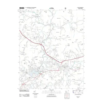 2011 Clyde2011 Print · USGSClyde and the surrounding Haywood County landscape appear in this survey during a period of established mountain settlement and modern infrastructure. Genealogists and local historians can locate family burial sites like Bon-A-Venture Cemetery and Pleasant Hill Cemetery or trace the development around Lake Junaluska.
 - 2011 Map of Canton, 2011 Print
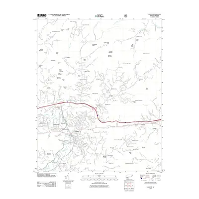 2011 Canton2011 Print · USGSIn the early twenty-first century, the industrial legacy of the Haywood County mountains remains visible through the development of Canton and Fibreville. Family history researchers can trace local roots through numerous burial sites like the Smathers Cemeteries, Henderson Cemetery, and Patton Cemetery.
 - 2011 Map of Shining Rock, 2011 Print
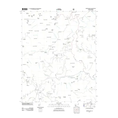 2011 Shining Rock2011 Print · USGSThe high ridges of Haywood County were well-established as a recreational and forestry hub by the early 2000s. Researchers can trace backcountry routes and landmarks like Looking Glass Rock, the Wagon Road Gap, and historic family sites such as Picklesimer Fields.
 - 2011 Map of Dunsmore Mountain, 2011 Print
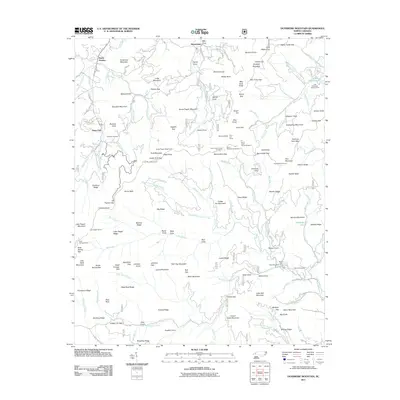 2011 Dunsmore Mountain2011 Print · USGSThe high ridges and deep gaps of the Blue Ridge are captured here in the early 2000s, showing the intersection of mountain life and federal land management. Researchers can locate remote landmarks like the O'Kelley Cemetery, the Ferrin Fire Tower, and several parkway tunnels including Pine Mountain Tunnel.
 - 2011 Map of Waynesville, 2011 Print
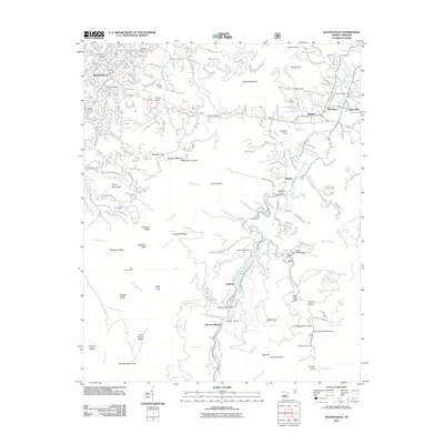 2011 Waynesville2011 Print · USGSHaywood County is shown in detail during the early twenty-first century as it rises from the Pigeon River valley into the Blue Ridge. Researchers can locate family landmarks like Green Hill Cemetery or trace the river-front history of Sunburst, Lake Logan, and Bethel.
 - 2011 Map of Sandymush, 2011 Print
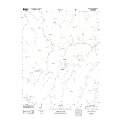 2011 Sandymush2011 Print · USGSThe mountain valleys around Sandymush and Luck are shown here as they appeared in the early 2000s, defined by deep coves and high gaps. Researchers can locate family-named landmarks like Worley Cove, Robinson Cove, and Pinnacle Knob along the Sandymush Creek drainage.
 - 2011 Map of Cove Creek Gap, 2011 Print
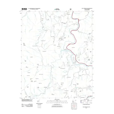 2011 Cove Creek Gap2011 Print · USGSThe high ridges and deep hollows of western North Carolina come into focus in this modern topographic study. Researchers can trace family history through numerous burial sites like Sutton Cemetery, Hicks Cemetery, and Teague Cemetery.
 - 2011 Map of Tuckasegee, 2011 Print
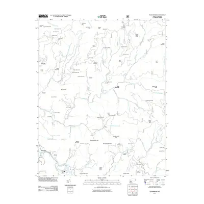 2011 Tuckasegee2011 Print · USGSJackson County in the early 2000s is shown here as a landscape of high ridges and creek-bottom settlements. Researchers can trace family history at Sols Creek Cemetery and Brasstown Cemetery or locate the historic Judaculla Rock.
 - 2011 Map of Dellwood, 2011 Print
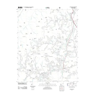 2011 Dellwood2011 Print · USGSHaywood County in the early twenty-first century reveals a landscape where valley floor settlements meet steep mountain ridges. Researchers can trace family history through numerous small burial sites like Roundhill Cemetery or explore the geography of Maggie Valley and Dellwood.
 - 2011 Map of Hazelwood, 2011 Print
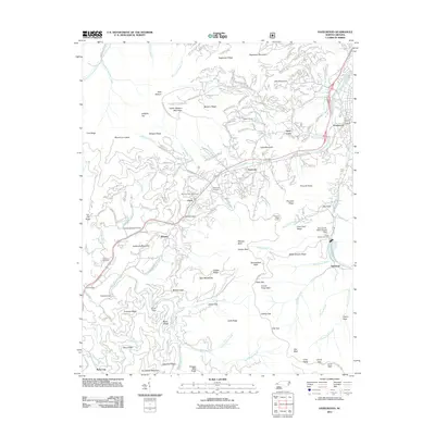 2011 Hazelwood2011 Print · USGSWestern North Carolina's high ridges and steep coves come into focus in this early twenty-first century study. Genealogists and hikers can trace the Blue Ridge Pkwy past the Morrison Fish Hatchery and local burial sites like Redbank and Love.
 - 2011 Map of Cruso, 2011 Print
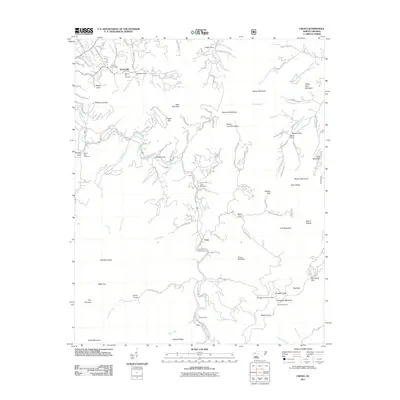 2011 Cruso2011 Print · USGSThe mountain valleys of Haywood County come alive in this map of the Blue Ridge foothills during the early 2010s. Genealogists and local historians can trace family ties through Longs Cemetery, locate high-elevation landmarks like Mount Pisgah, and explore small valley settlements including Cruso and Camp Hope.
 - 2011 Map of Sylva North, 2011 Print
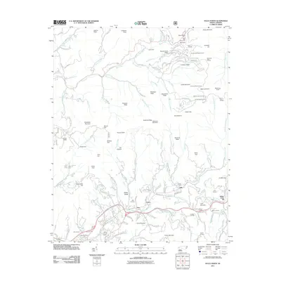 2011 Sylva North2011 Print · USGSThe mountain ridges north of Sylva are shown here in the early twenty-first century, spanning the high peaks of the Plott Balsams and the Parkway. Genealogists can trace family names through landmarks like Norman-Blanton Cemetery, Addie, and Keener Cemetery.
 - 2011 Map of Lemon Gap, 2011 Print
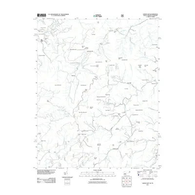 2011 Lemon Gap2011 Print · USGSThe Tennessee and North Carolina borderlands are captured here in the early twenty-first century as a landscape of high ridges and deep coves. Researchers can find many family landmarks and remote sites, including Joe Post Office, the Round Mountain Lookout, and Waddell Cemetery.
 - 2011 Map of Fines Creek, 2011 Print
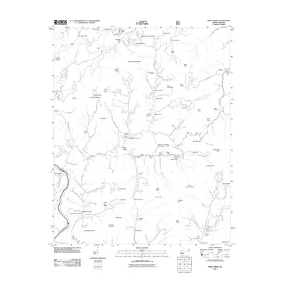 2011 Fines Creek2011 Print · USGSNorth Carolina's mountain valleys were still anchored by remote family settlements and small churches at the start of the 21st century. Researchers can trace local lineages through the Fines Creek Cemetery, Ledford Cemetery, and the Fines Creek Memorial Baptist Church.
 - 2011 Map of Sam Knob, 2011 Print
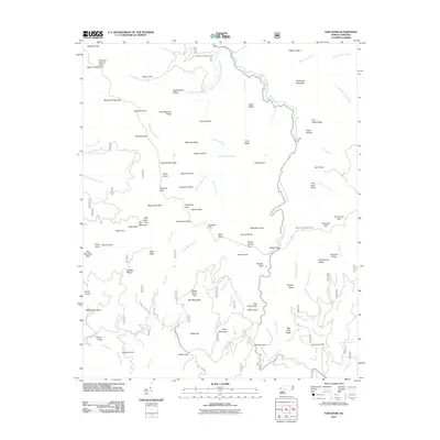 2011 Sam Knob2011 Print · USGSHigh in the Great Balsam Mountains during the early 2000s, this survey captures a landscape of extreme elevation and river headwaters. Researchers can locate the Harris Cemetery or trace the waters of the West Fork Pigeon River near Sam Knob.
 - 2011 Map of Hartford, 2011 Print
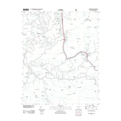 2011 Hartford2011 Print · USGSThe Pigeon River valley comes into focus during the early twenty-first century, showing the small communities of the Great Smoky Mountains foothills. Researchers can locate remote family landmarks like the Valentine Cemetery, Jenkins Mill, and the high Hall Top Lookout.
 - 2011 Map of Waterville, 2011 Print
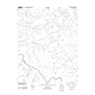 2011 Waterville2011 Print · USGSThe North Carolina and Tennessee borderlands appear here in the early twenty-first century as a land of high ridges and deep river valleys. Family researchers and hikers can trace the Pigeon River and locate remote sites like Hall Cemetery or the Davenport Gap Appalachian Trail Shelter.
Showing maps 1-25 of 105
Top cities of Haywood County
Frequently asked questions
- What are the different types of historical maps available for Haywood County?
- What is the oldest map of Haywood County?
- Where can I purchase historical maps of Haywood County for my home or office?
- Where can I download high-res historical maps of Haywood County?
- Are there historical topographic maps available for Haywood County?
- Is there historical aerial imagery available for Haywood County?
- Where are historical maps of Haywood County sourced from?