2000s (21st Century) Maps of Hyde County, North Carolina
Explore 164 historic maps of Hyde County from the 2000s (21st Century). These maps offer a rare glimpse into what life looked like during the 2000s — showing old roads, neighborhoods, homes, and landmarks that have changed or disappeared over time.
Whether you're researching your family's past, planning a metal detecting trip, or studying how Hyde County's landscape evolved across the 2000s, these high-resolution maps are a powerful tool for exploring the history of this region.
- Focus on a specific era: All maps on this page are from the 2000s, giving you a focused view of this time period.
- See what’s changed: Compare century-old streets, trails, and buildings to today's modern landscape using overlays and satellite layers.
- Research with precision: Use these maps for genealogy, historical research, land use analysis, or educational projects.
- View, download, or print: Maps are fully viewable online in high resolution, and can be downloaded or printed for your own records.
Start exploring Hyde County's history through authentic maps from the 2000s. This is your window into the past.
Hyde County, NC maps
(164)- 2000 Map of Lowland, 2001 Print
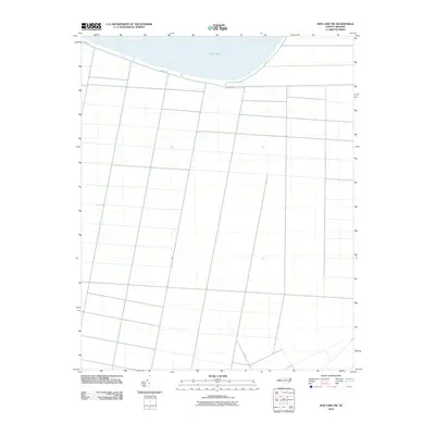
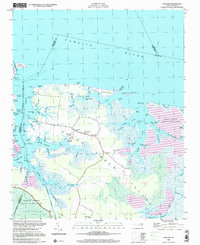 2000 Lowland2001 Print · USGSGoose Creek Island at the turn of the century remains a seafaring landscape defined by its intricate network of tidal marshes and remote landings. Genealogists and local historians can locate the Watson Cem and trace the small community of Lowland and its nearby Antioch Ch.
 - 2000 Map of Fairfield NE, 2002 Print
 2000 Fairfield NE2002 Print · USGSCoastal Tyrrell County is defined by its watery borders and protected marshes at the turn of the millennium. Researchers can trace the legacy of remote landings and early transit along the Intracoastal Waterway, Gum Neck Landing, and the Pungo River - Alligator River Canal.
 - 2000 Map of Engelhard NW, 2002 Print
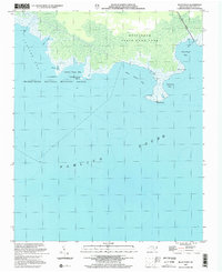
 2000 Engelhard NW2002 Print · USGSCoastal Dare and Hyde Counties are shown at the turn of the 21st century, where military airspace meets vast wildlife conservation lands. Researchers can trace the boundaries of the Dare County Bombing Range and the shores of Whipping Creek Lake.
 - 2000 Map of Engelhard West, 2002 Print
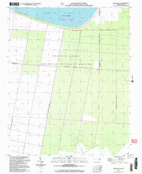
 2000 Engelhard West2002 Print · USGSCoastal Hyde County at the turn of the millennium is shaped by vast conservation lands and reclaimed marshes. Genealogists and local historians can locate the Fulford Cem, Pleasant Grove Ch, and the shoreline of Lake Mattamuskeet.
 - 2002 Map of Pamlico Beach
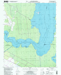
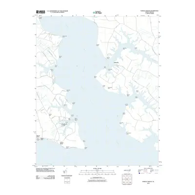
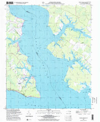 2002 Pamlico Beach2002 Print · USGSThe Inner Banks of Hyde and Beaufort counties come into focus here, where the Pungo River meets the sound. Trace the locations of coastal settlements and landmarks like Pamlico Beach, Makleyville, and the historic Pamlico Chapel.
 - 2002 Map of New Holland
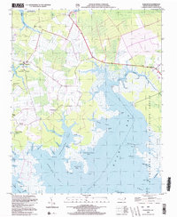
 2002 New Holland2002 Print · USGSCoastal Hyde County at the turn of the millennium shows a landscape defined by massive drainage projects and wildlife conservation. Genealogists can locate family-named landmarks like Donald Farm Cem and local centers of worship such as Soule Ch or St Mary Ch.
 - 2002 Map of Scranton
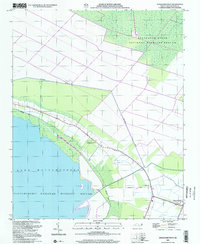
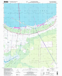
 2002 Scranton2002 Print · USGSCoastal Hyde County at the start of the millennium shows a landscape defined by its intricate shoreline and maritime history. Genealogists and local historians can trace community roots through numerous landmarks like County Training Sch, Zion Ch, and the settlement of Germantown.
 - 2002 Map of Middletown
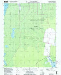
 2002 Middletown2002 Print · USGSCoastal Hyde County at the start of the millennium shows a landscape defined by its relation to the water and the great refuge. Genealogists can locate community anchors like Amity Ch and small settlements including Nebraska and Lake Landing(PO).
 - 2002 Map of Great Island
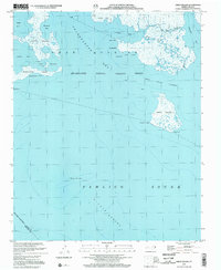 2002 Great Island2002 Print · USGSCoastal Hyde County remains a wilderness of tidal marshes and brackish bays at the turn of the millennium. Researchers can trace the shifting shorelines of Great Island and the protected reaches of the Swanquarter National Wildlife Refuge.
 - 2002 Map of Bluff Point
 2002 Bluff Point2002 Print · USGSThe Hyde County coast at the turn of the millennium remains a wild expanse of marsh and sound. Trace the protected shorelines of Swanquarter National Wildlife Refuge and identify landmarks like Drum Point and Bluff Point.
 - 2002 Map of Middletown Anchorage
 2002 Middletown Anchorage2002 Print · USGSPamlico Sound and the Hyde County coastline are documented here at the opening of the millennium. Maritime researchers can trace the shallow reaches of Gibbs Shoal and find historical water features like Lone Tree Creek and Middletown Anchorage.
 - 2002 Map of Ocracoke
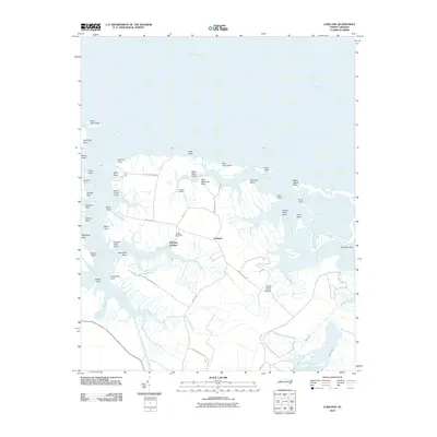
 2002 Ocracoke2002 Print · USGSOcracoke Island at the start of the twenty-first century remains a narrow bastion of maritime life between the sound and the sea. Researchers can trace the village layout around Silver Lake, locate the Coast Guard Sta, and find landmarks like Springers Point or Horsepen Point.
 - 2002 Map of Howard Reef
 2002 Howard Reef2002 Print · USGSOcracoke Island stood as a narrow sentinel between the sound and the sea in the early twenty-first century. Researchers can trace the maritime landscape from Cass Williams Camp to the sheltered inlets of Sand Hole Cr and Knoll House Cr.
 - 2002 Map of New Lake NW, 2003 Print
 2002 New Lake NW2003 Print · USGSCoastal wetlands and conservation lands define this Hyde County landscape at the turn of the millennium. Researchers can trace the boundaries of the Pocosin Lakes National Wildlife Refuge and the southern reaches of Phelps Lake.
 - 2010 Map of Pike Road, 2010 Print
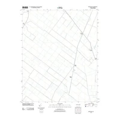 2010 Pike Road2010 Print · USGSCovers Hyde County, including Sixth Siding, Pike Road, and other nearby areas
 - 2010 Map of Ponzer, 2010 Print
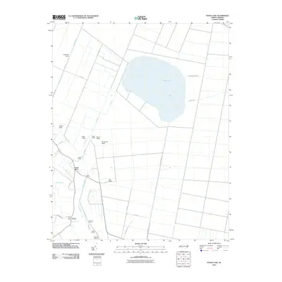
 2010 Ponzer2010 Print · USGSCovers Hyde County, including Ponzer, Mount Olive, and other nearby areas
 - 2010 Map of Pungo Lake, 2010 Print
 2010 Pungo Lake2010 Print · USGSCovers Hyde County, including Pungo, Union Grove, and other nearby areas
 - 2010 Map of Belhaven, 2010 Print
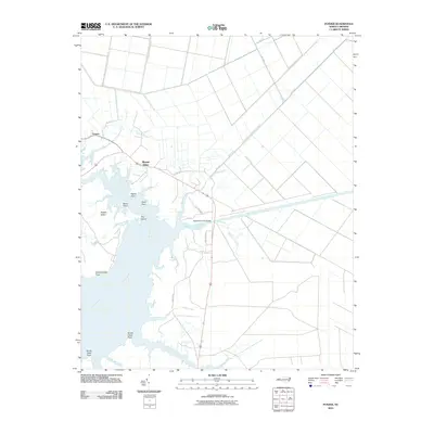
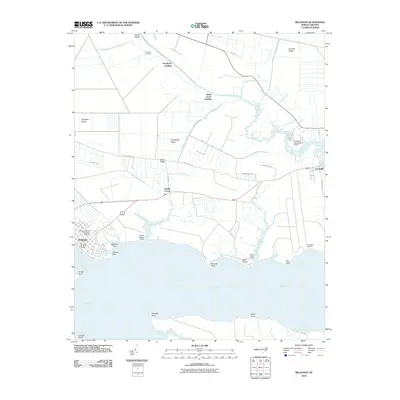 2010 Belhaven2010 Print · USGSCovers Hyde County, including Belhaven, Haslin Corner, and other nearby areas
 - 2010 Map of New Lake, 2010 Print
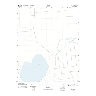 2010 New Lake2010 Print · USGSCovers Hyde County, including Tyrrell County, United States, and other nearby areas
 - 2010 Map of Engelhard West, 2010 Print
 2010 Engelhard West2010 Print · USGSCovers Hyde County, including United States, North Carolina, and other nearby areas
 - 2010 Map of Lowland, 2010 Print
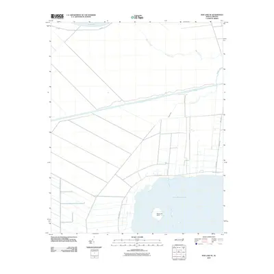
 2010 Lowland2010 Print · USGSCovers Hyde County, including Lowland, Mill Seat Landing, and other nearby areas
 - 2010 Map of New Lake NW, 2010 Print
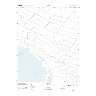
 2010 New Lake NW2010 Print · USGSCovers Hyde County, including Washington County, Tyrrell County, and other nearby areas
 - 2010 Map of New Lake SE, 2010 Print
 2010 New Lake SE2010 Print · USGSCovers Hyde County, including Tyrrell County, United States, and other nearby areas
 - 2010 Map of Pamlico Beach, 2010 Print
 2010 Pamlico Beach2010 Print · USGSCovers Hyde County, including Schoolhouse Landing, Moores Beach, and other nearby areas
 - 2010 Map of Middletown OE S, 2010 Print
 2010 Middletown OE S2010 Print · USGSCovers Hyde County, including United States, North Carolina, and other nearby areas
Showing maps 1-25 of 164
Top cities of Hyde County
Frequently asked questions
- What are the different types of historical maps available for Hyde County?
- What is the oldest map of Hyde County?
- Where can I purchase historical maps of Hyde County for my home or office?
- Where can I download high-res historical maps of Hyde County?
- Are there historical topographic maps available for Hyde County?
- Is there historical aerial imagery available for Hyde County?
- Where are historical maps of Hyde County sourced from?