2020s Maps of Hyde County, North Carolina
Explore 30 historic maps of Hyde County from the 2020s. These maps offer a rare glimpse into what life looked like during the 2020s — showing old roads, neighborhoods, homes, and landmarks that have changed or disappeared over time.
Whether you're researching your family's past, planning a metal detecting trip, or studying how Hyde County's landscape evolved across the 2020s, these high-resolution maps are a powerful tool for exploring the history of this region.
- Focus on a specific era: All maps on this page are from the 2020s, giving you a focused view of this time period.
- See what’s changed: Compare century-old streets, trails, and buildings to today's modern landscape using overlays and satellite layers.
- Research with precision: Use these maps for genealogy, historical research, land use analysis, or educational projects.
- View, download, or print: Maps are fully viewable online in high resolution, and can be downloaded or printed for your own records.
Start exploring Hyde County's history through authentic maps from the 2020s. This is your window into the past.
Hyde County, NC maps
(30)- 2022 Map of Howard Reef, 2022 Print
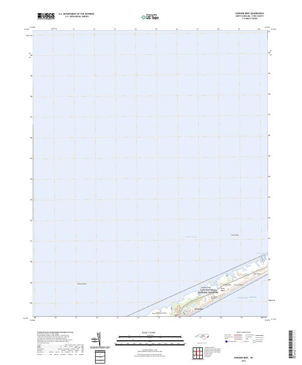 2022 Howard Reef2022 Print · USGSOcracoke Island and the southern reaches of the Outer Banks are documented here in the early 2020s. Researchers can trace the protected boundaries of the Cape Hatteras National Seashore and locate coastal landmarks like Knoll Cedars and Quokes Point.
 - 2022 Map of Hatteras, 2022 Print
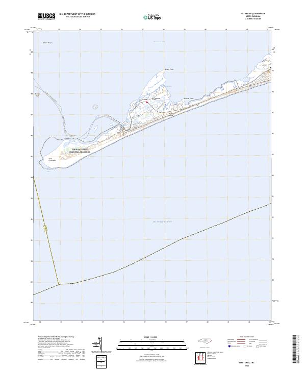 2022 Hatteras2022 Print · USGSThe southern tip of the Outer Banks comes into focus during the early 2020s, showing the intersection of coastal preservation and maritime life. Trace the ferry route across Austin Reef or explore the residential landscape of Hatteras near The Slash.
 - 2022 Map of Long Shoal Point, 2022 Print
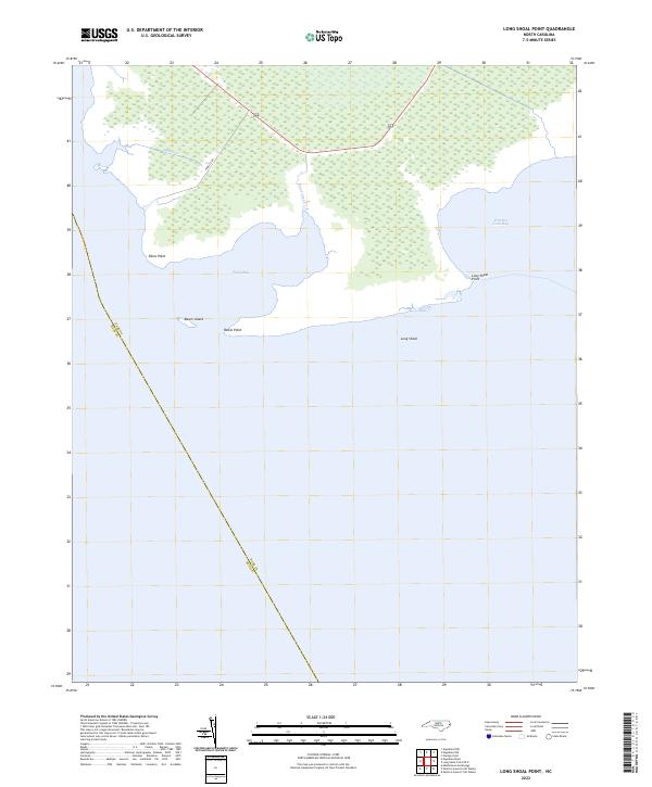 2022 Long Shoal Point2022 Print · USGSCoastal Dare and Hyde counties appear here as a land of tide and marsh in the early 2020s. Researchers can trace the watery county line through Pains Bay and locate local landmarks like Rawls Island, Parched Corn Bay, and Long Shoal Point.
 - 2022 Map of Middletown Anchorage, 2022 Print
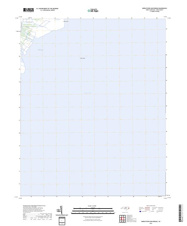 2022 Middletown Anchorage2022 Print · USGSThe Hyde County coast and the waters of Pamlico Sound appear here in the early twenty-first century. Maritime researchers and locals can trace the shoreline at Gibbs Point and locate Middletown Anchorage and the offshore Gibbs Shoal.
 - 2022 Map of Green Island, 2022 Print
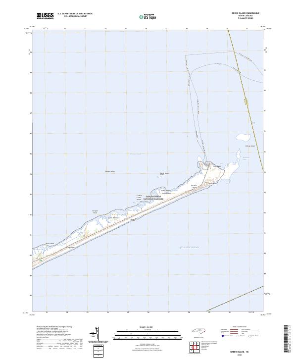 2022 Green Island2022 Print · USGSThe Outer Banks come alive in this recent coastal survey of Ocracoke Island and its surrounding sound waters. Researchers can trace the vital maritime transit routes of the Halteras - Ocracoke Ferry and locate distinctive landmarks like Styron Hills and Quork Hammock.
 - 2022 Map of Engelhard NW, 2022 Print
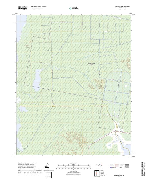 2022 Engelhard NW2022 Print · USGSCoastal Dare and Hyde Counties are shown here in the early twenty-first century, featuring a unique landscape of managed wetlands and remote water bodies. Researchers can trace the drainage patterns of Whipping Creek Lake and the straight-line access provided by Navy Lead Rd and Airforce Lead Rd.
 - 2022 Map of Ocracoke, 2022 Print
 2022 Ocracoke2022 Print · USGSOcracoke Island and the Outer Banks village appear in the early 2020s as a vital maritime outpost within the Cape Hatteras National Seashore. Local historians can trace the community footprint near Silver Lake or locate sites like the British Cem and Springers Point.
 - 2022 Map of Engelhard East, 2022 Print
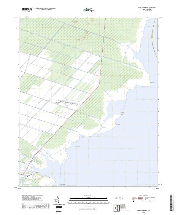 2022 Engelhard East2022 Print · USGSThe Hyde County coast comes into focus in the early 2020s, showing the intersection of managed wetlands and the open waters of the Pamlico Sound. You can trace the shoreline through Pingleton Point or locate local landmarks like the Hyde County Airport.
 - 2022 Map of Pamlico Point, 2022 Print
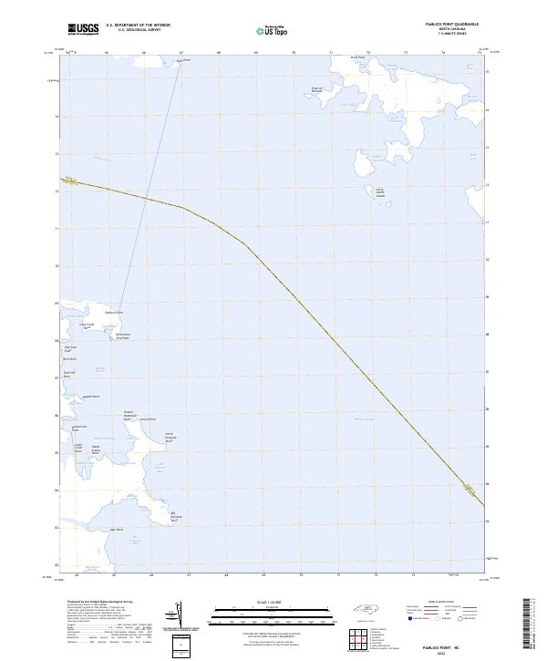 2022 Pamlico Point2022 Print · USGSCoastal Hyde County at the start of the 2020s remains a landscape defined by its intricate shoreline and maritime history. Researchers can trace the shifting marshes and islands of the sound, locating landmarks like Lighthouse Creek, Mouse Harbor, and Pamlico Point.
 - 2022 Map of Middletown, 2022 Print
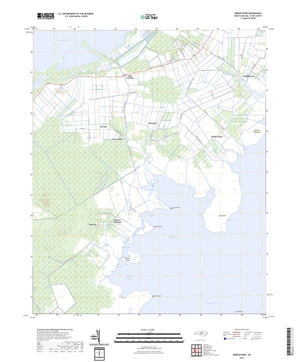 2022 Middletown2022 Print · USGSCoastal Hyde County is captured in this contemporary survey where the wetlands of the Pamlico Sound meet historic rural hamlets. Local researchers can trace the roads and waterways of Gulrock, Nebraska, and the curiously named Last Chance along the Rose Canal.
 - 2022 Map of Engelhard West, 2022 Print
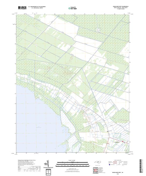 2022 Engelhard West2022 Print · USGSCoastal Hyde County's lowlands and the eastern reaches of Lake Mattamuskeet are documented in this contemporary survey. Genealogists and local historians can locate Engelhard and the Fulford Cem, or trace the paths of Jarvis Canal and Swamp Rd.
 - 2022 Map of Fairfield NE, 2022 Print
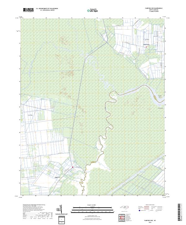
 2022 Fairfield NE2022 Print · USGSThe Tyrrell County wetlands come into focus in the early 2020s, showing the intersection of the Alligator River and the Intracoastal Waterway. Researchers can trace the waterfront at Gum Neck or locate landings like Grapevine Lndg.
 - 2022 Map of Fairfield NW, 2022 Print
 2022 Fairfield NW2022 Print · USGSCoastal Tyrrell and Hyde counties are shown here in the early twenty-first century, centered on the winding Alligator River. Researchers can trace old family road names and remote settlements like Gum Neck and Kilkenny amidst the expansive wetland forks.
 - 2022 Map of New Lake NW, 2022 Print
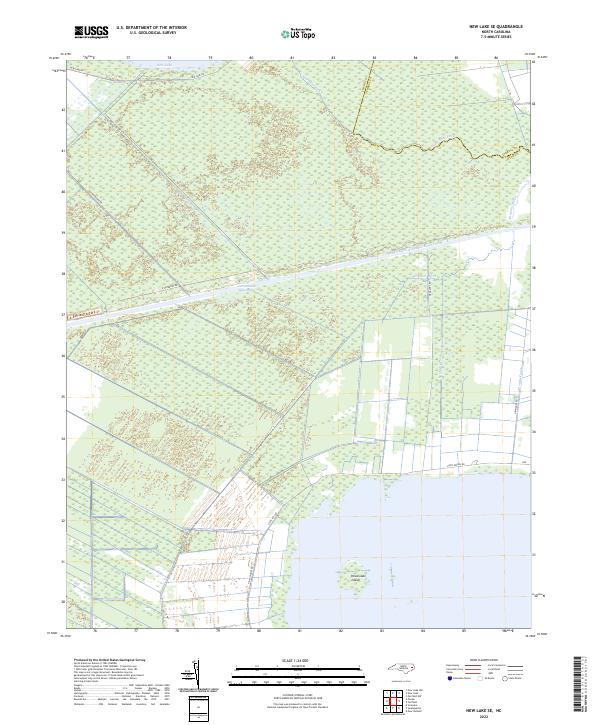
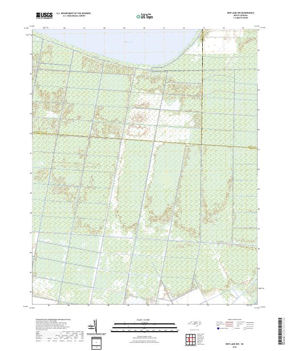 2022 New Lake NW2022 Print · USGSThe coastal wetlands south of Phelps Lake are captured here in the early twenty-first century, showing the intricate drainage of the inner banks. Researchers can trace the tri-county intersection of Washington, Tyrrell, and Hyde along Shore Dr.
 - 2022 Map of Belhaven, 2022 Print
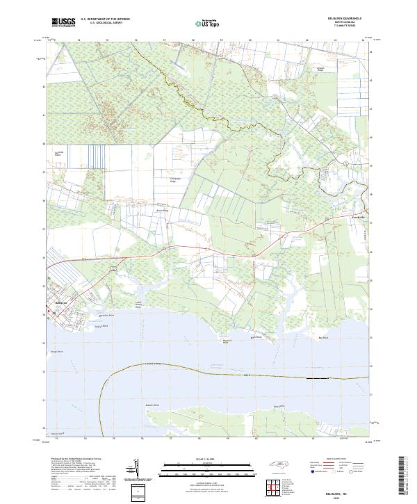 2022 Belhaven2022 Print · USGSBelhaven and the surrounding lowlands of Beaufort and Hyde counties are shown here in the early twenty-first century as a landscape shaped by water. Researchers can trace the layout of waterfront streets in Belhaven or locate family landmarks near Leechville, Beech Ridge, and Bible Shore.
 - 2022 Map of Scranton, 2022 Print
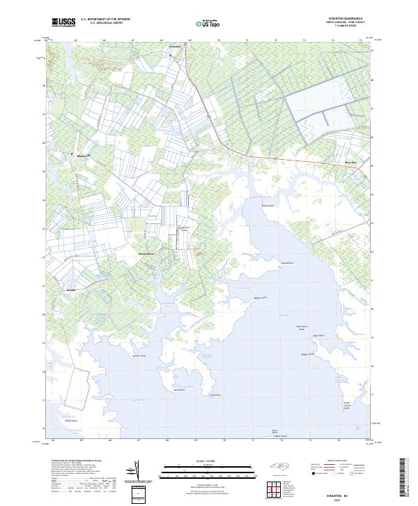 2022 Scranton2022 Print · USGSThe coastal marshes of Hyde County are documented here in recent years, showing a landscape defined by sound-side inlets and small settlements. Trace family lands and local geography near Scranton, Sladesville, and the waters of Spencer Bay.
 - 2022 Map of Middletown OE S, 2022 Print
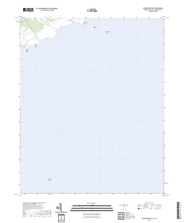 2022 Middletown OE S2022 Print · USGSHyde County's eastern marshlands meet the Pamlico Sound in this 2020s coastal survey. Marine researchers and local historians can trace the intricate shoreline from North Bluff Point to the submerged reaches of Sevenfoot Patch and Hog Island Shoal.
 - 2022 Map of Pike Road, 2022 Print
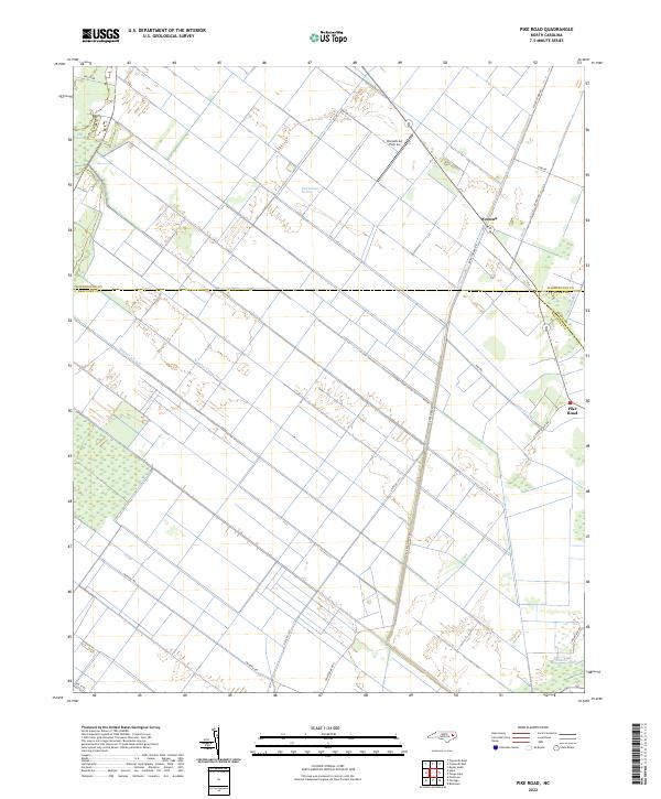 2022 Pike Road2022 Print · USGSThe reclaimed wetlands of Beaufort and Washington counties are revealed in this recent survey of North Carolina's inner banks. Trace the drainage history of the East Dismal Swamp through landmarks like Number 2 Canal, Wenona, and Donald's Air Park Inc.
 - 2022 Map of New Holland, 2022 Print
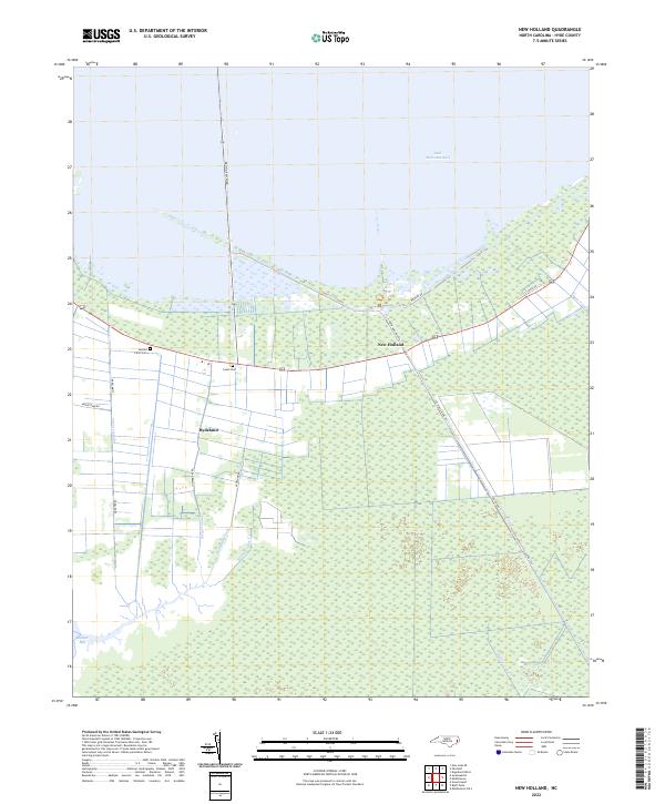 2022 New Holland2022 Print · USGSThe Hyde County coast in the early 2020s remains a landscape defined by water management and low-lying wetlands. Researchers can trace the drainage network from Lake Mattamuskeet through the Outfall Canal and locate family sites like Donald Farm Cem.
 - 2022 Map of Great Island, 2022 Print
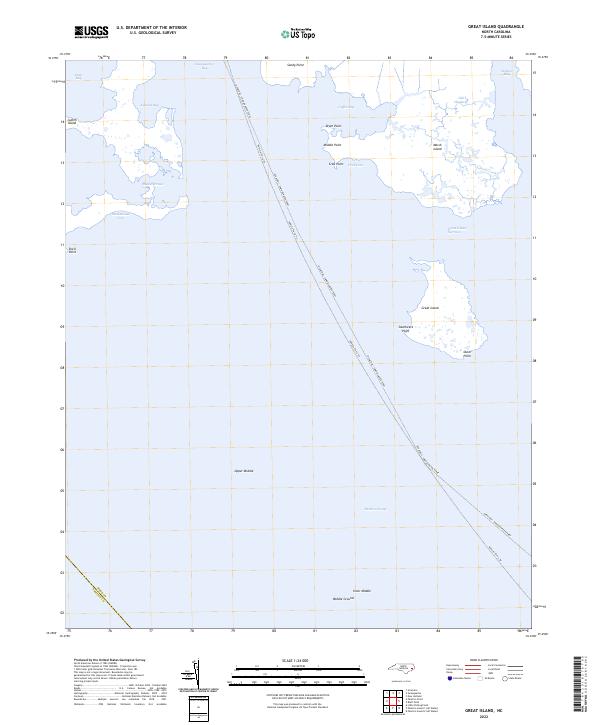 2022 Great Island2022 Print · USGSHyde County's coastal waters and marshlands are mapped here in the early 2020s, dominated by the maritime passage of the Ocracoke - Swan Quarter Ferry. Trace historical shorelines and navigation points like Old Haulover, Judith Island, and Smokehouse Cove.
 - 2022 Map of Bluff Point, 2022 Print
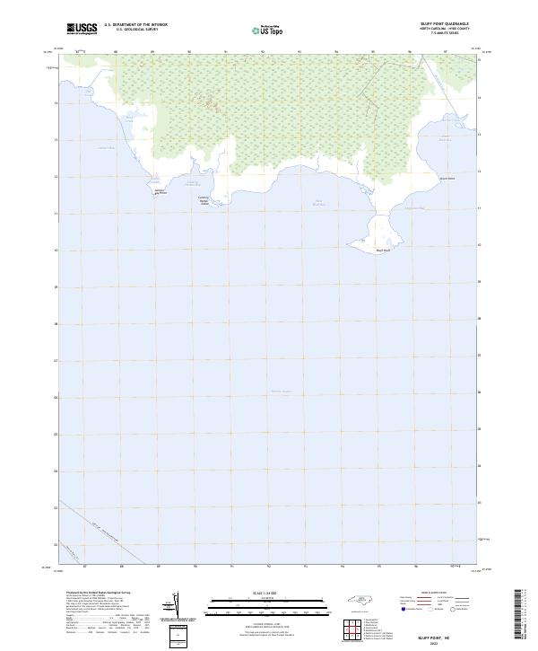 2022 Bluff Point2022 Print · USGSHyde County’s shoreline in the 2020s remains a landscape of shifting tides and marshy points along the Pamlico Sound. Researchers can trace the path of the Ocracoke - Swan Quarter Ferry and coastal landmarks like Cunning Harbor Island and Bluff Point.
 - 2022 Map of Portsmouth, 2022 Print
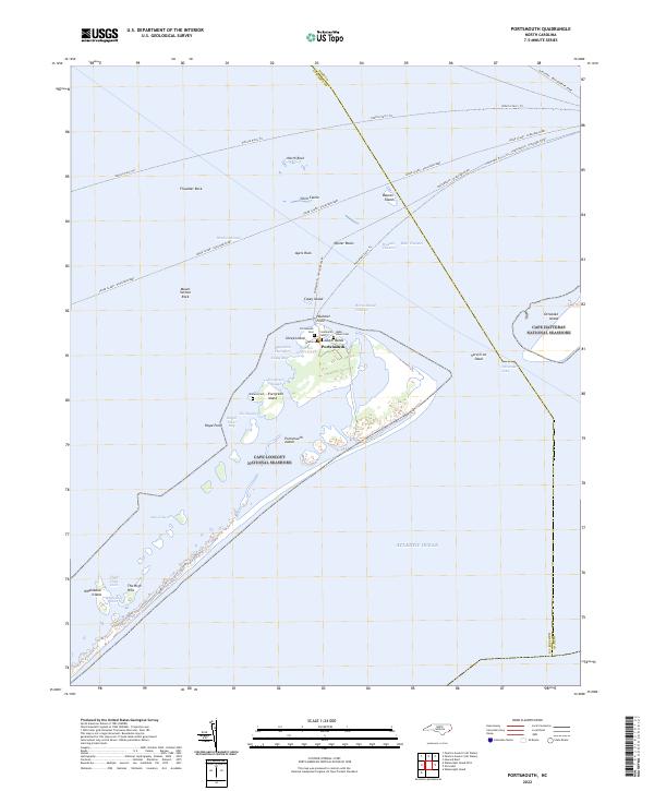 2022 Portsmouth2022 Print · USGSThe barrier islands of the Outer Banks are mapped here in the modern era, showing the protected maritime reaches of the Ocracoke Inlet. Researchers can trace historic family burial sites like Babb - Dixon Cem or follow the path of the Cedar Island - Ocracoke Ferry.
 - 2022 Map of New Lake SE, 2022 Print
 2022 New Lake SE2022 Print · USGSCoastal Hyde County in the 2020s is a landscape defined by its historic hydraulic engineering and maritime transit. Researchers can trace the path of the Intracoastal Waterway and explore the intersecting reaches of Swindells Canal and the Alligator River.
 - 2022 Map of Fairfield, 2022 Print
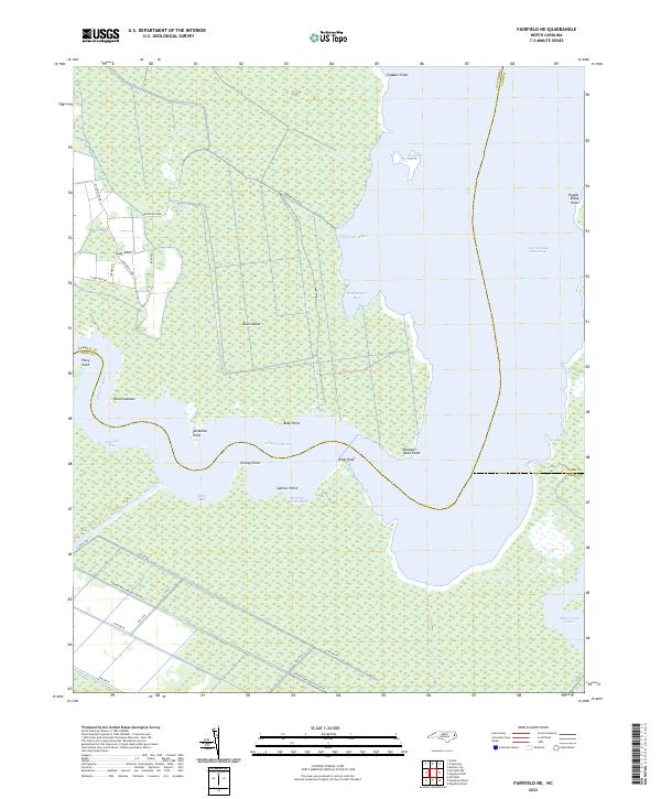
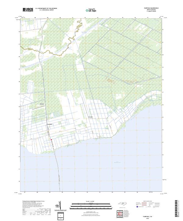 2022 Fairfield2022 Print · USGSThe coastal plains of Hyde County appear here in a recent study of its intricate water networks and rural settlements. Genealogists and historians can trace the relationship between land and water through Fairfield, the Intracoastal Waterway, and Lake Mattamuskeet.
 - 2022 Map of Lowland, 2022 Print
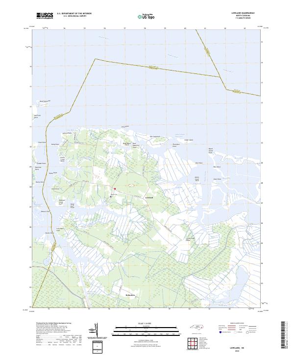 2022 Lowland2022 Print · USGSThe marshlands of Pamlico County and the waters of the Pamlico River dominate this coastal landscape in the early 2020s. Genealogists and local historians can trace family-named landmarks like Watson Cem and coastal points such as Paton Point or Holly Point.
Showing maps 1-25 of 30
Top cities of Hyde County
Frequently asked questions
- What are the different types of historical maps available for Hyde County?
- What is the oldest map of Hyde County?
- Where can I purchase historical maps of Hyde County for my home or office?
- Where can I download high-res historical maps of Hyde County?
- Are there historical topographic maps available for Hyde County?
- Is there historical aerial imagery available for Hyde County?
- Where are historical maps of Hyde County sourced from?