2010s Maps of Hyde County, North Carolina
Explore 120 historic maps of Hyde County from the 2010s. These maps offer a rare glimpse into what life looked like during the 2010s — showing old roads, neighborhoods, homes, and landmarks that have changed or disappeared over time.
Whether you're researching your family's past, planning a metal detecting trip, or studying how Hyde County's landscape evolved across the 2010s, these high-resolution maps are a powerful tool for exploring the history of this region.
- Focus on a specific era: All maps on this page are from the 2010s, giving you a focused view of this time period.
- See what’s changed: Compare century-old streets, trails, and buildings to today's modern landscape using overlays and satellite layers.
- Research with precision: Use these maps for genealogy, historical research, land use analysis, or educational projects.
- View, download, or print: Maps are fully viewable online in high resolution, and can be downloaded or printed for your own records.
Start exploring Hyde County's history through authentic maps from the 2010s. This is your window into the past.
Hyde County, NC maps
(120)- 2010 Map of Pike Road, 2010 Print
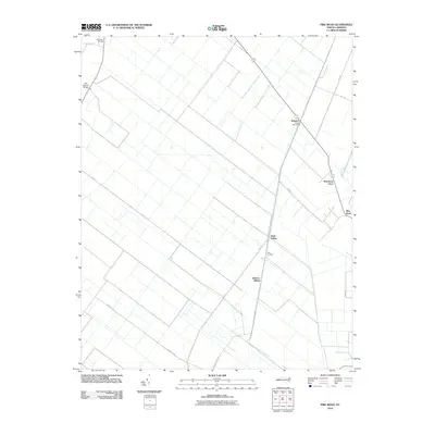 2010 Pike Road2010 Print · USGSThe Beaufort County lowlands appear in the early 21st century as a landscape defined by its historic rail corridors and drainage networks. Researchers can trace the agricultural heart of the region through sites like Wenona, Morrisons Store, and Sixth Siding.
 - 2010 Map of Ponzer, 2010 Print
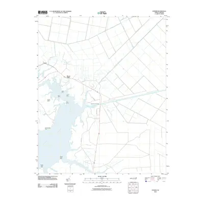 2010 Ponzer2010 Print · USGSThe Pungo River shoreline and rural Hyde County settlements are shown here during the early twenty-first century. Researchers can trace landforms and drainage patterns near Ponzer, Mount Olive, and landmarks like Sophie Island and Satterthwaite Point.
 - 2010 Map of Pungo Lake, 2010 Print
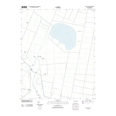 2010 Pungo Lake2010 Print · USGSThe rural landscape of eastern North Carolina is shown here just after the first decade of the new millennium. Researchers can trace the legacy of swamp drainage and settlement through local landmarks like Pungo Post Office, Union Grove, and the numerous ridges including Brights Ridge.
 - 2010 Map of Belhaven, 2010 Print
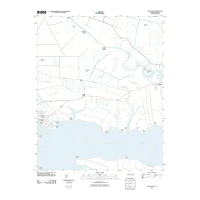 2010 Belhaven2010 Print · USGSThe coastal community of Belhaven and the Pungo River shoreline are documented here during the early twenty-first century. Researchers can trace family-named sites and river landings such as Haslin Corner, Leechville, and Sawyers Landing.
 - 2010 Map of New Lake, 2010 Print
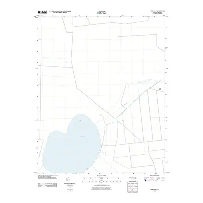 2010 New Lake2010 Print · USGSHyde County's low-lying interior is captured here in the early twenty-first century, showcasing a landscape of complex water management. Researchers can trace the drainage networks and rural routes around New Lake, including the Dunbar Canal and Long Ridge.
 - 2010 Map of Engelhard West, 2010 Print
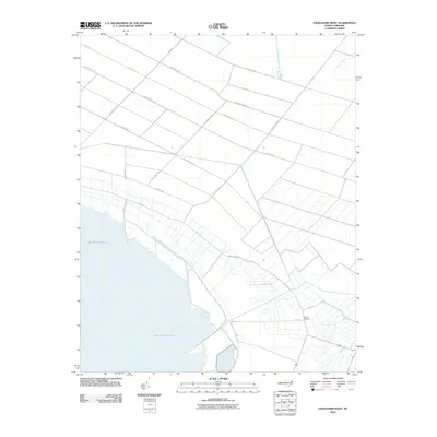 2010 Engelhard West2010 Print · USGSThe northern shores of Lake Mattamuskeet are captured here in the early twenty-first century, showing a landscape defined by an extensive grid of agricultural avenues. Genealogists and local historians can locate Fulford Cemetery and trace water management features like Jarvis Canal and Swan Creek.
 - 2010 Map of Lowland, 2010 Print
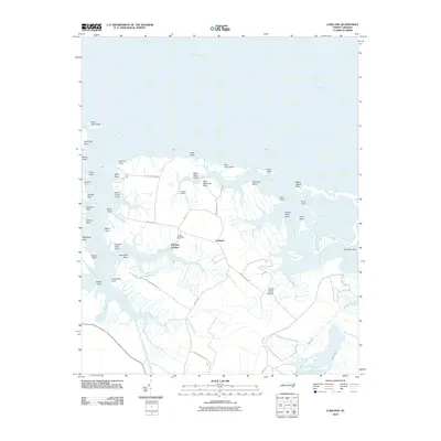 2010 Lowland2010 Print · USGSThe Pamlico County coastline near the turn of the twenty-first century reveals a landscape defined by water and marsh. Genealogists and local historians can trace family ties at Watson Cemetery or locate old water-access points like Mill Seat Landing and Whealton Ferry.
 - 2010 Map of New Lake NW, 2010 Print
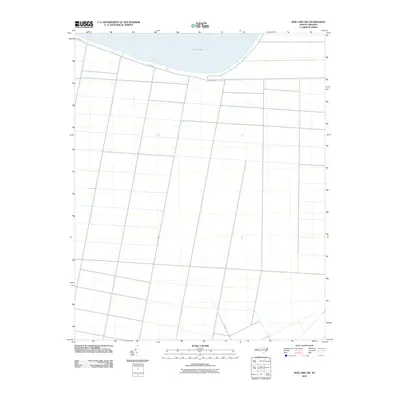 2010 New Lake NW2010 Print · USGSCoastal plain fields and drainage networks south of the water characterize this area at the start of the decade. Genealogists and local researchers can trace family land boundaries along Shore Dr and the southern access via N.C. 1348 near Phelps Lake.
 - 2010 Map of New Lake SE, 2010 Print
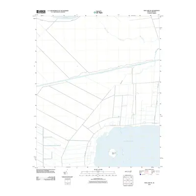 2010 New Lake SE2010 Print · USGSThe coastal marshes of Hyde County were deeply transformed by water management at the start of the 21st century. Trace the intersection of the Pungo River-Alligator River Canal with smaller local works like the Swindells Canal and Florida Canal.
 - 2010 Map of Pamlico Beach, 2010 Print
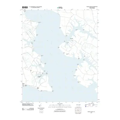 2010 Pamlico Beach2010 Print · USGSCoastal life in Beaufort County at the start of the twenty-first century is defined by the deep reaches of the Pungo River. Genealogists and historians can trace family-named landforms and small settlements like Wades Point Post Office, Schoolhouse Landing, and Makleyville.
 - 2010 Map of Middletown OE S, 2010 Print
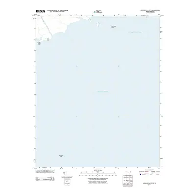 2010 Middletown OE S2010 Print · USGSThe Hyde County coast and the open sea are documented here in the early twenty-first century. Maritime researchers and historians can trace the shoreline around Hog Island, Gull Rocks, and the navigational hazards of Sevenfoot Patch.
 - 2010 Map of Fairfield NE, 2010 Print
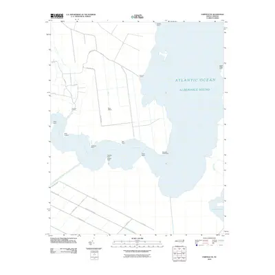 2010 Fairfield NE2010 Print · USGSCoastal Dare County is defined by its deep relationship with the water in this recent survey. Local historians and genealogists can trace the rural road networks leading to Gum Neck Landing or locate landmarks like Buck Island and the Pungo-River-Alligator-River-Canal.
 - 2010 Map of Fairfield NW, 2010 Print
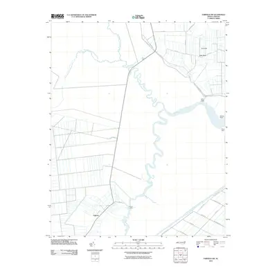 2010 Fairfield NW2010 Print · USGSThe coastal marshlands and river forks of Tyrrell County come into focus during the early twenty-first century. Genealogists and local historians can trace the roads and landings surrounding Gum Neck and Kilkenny, or follow the Pungo-River-Alligator-River-Canal.
 - 2010 Map of Fairfield, 2010 Print
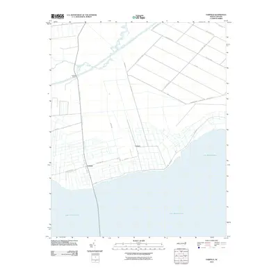 2010 Fairfield2010 Print · USGSCoastal Hyde County is defined here by its connection to the water in the early 2000s. Genealogists and historians can trace the roads and drainage networks around Fairfield, the small settlement of Carmur, and the northern reaches of Lake Mattamuskeet.
 - 2010 Map of New Holland, 2010 Print
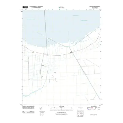 2010 New Holland2010 Print · USGSHyde County, North Carolina, appears here in the early 21st century as a landscape defined by its relationship to the water. Researchers can trace local lineage at Soule Cemetery or explore the drainage history of New Holland and the Outfall Canal.
 - 2010 Map of Swanquarter, 2010 Print
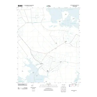 2010 Swanquarter2010 Print · USGSHyde County's coastal marshes and managed wetlands are captured here in the early 21st century. Researchers can trace the ferry route from Swanquarter or explore the rural hubs of Swindell Fork and Oyster Creek Landing.
 - 2010 Map of Scranton, 2010 Print
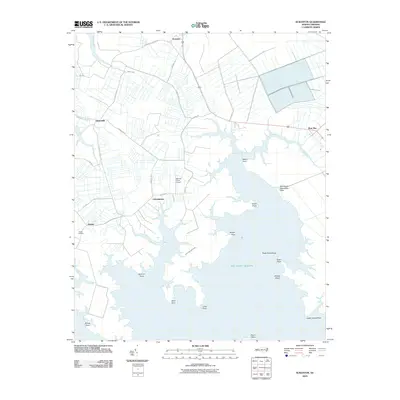 2010 Scranton2010 Print · USGSHyde County's coastal fringe is documented here in the early twenty-first century as farmland meets the Atlantic sounds. Genealogists and historians can locate family lands near Germantown, Sladesville, and the remote Stave Landing or Garrish Farm Airport.
 - 2010 Map of Great Island, 2010 Print
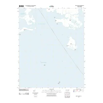 2010 Great Island2010 Print · USGSCoastal Hyde County is captured here in the early twenty-first century, showing the remote islands and ferry routes of the Pamlico Sound. Maritime researchers can trace the Swan Quarter-Ocracoke passage past Great Island and the shoals of Middle Ground.
 - 2010 Map of Bluff Point, 2010 Print
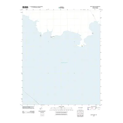 2010 Bluff Point2010 Print · USGSThe Hyde County coast and the Atlantic Ocean meet in this modern survey of the North Carolina shoreline. Maritime researchers and locals can trace the maritime route of Swan Quarter-Ocracoke and the geography of Bluff Point.
 - 2010 Map of Pamlico Point, 2010 Print
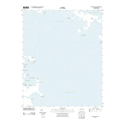 2010 Pamlico Point2010 Print · USGSCoastal Hyde County at the turn of the decade is mapped here where the Pamlico River meets the sea. Coastal researchers can trace the intricate shorelines of Judith Island, Pamlico Point, and Big Porpoise Point.
 - 2010 Map of Middletown, 2010 Print
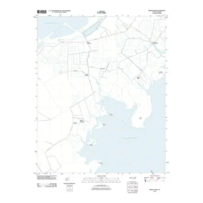 2010 Middletown2010 Print · USGSCoastal Hyde County at the start of the 21st century reveals a landscape shaped by drainage canals and Atlantic tides. Researchers can trace the footprints of rural communities like Nebraska, Gulrock, and Last Chance alongside landmarks like Browns Island.
 - 2011 Map of Middletown Anchorage, 2011 Print
 2011 Middletown Anchorage2011 Print · USGSThe Hyde County coast and the open sea meet here in the early twenty-first century, showing the interface between the mainland and the deep. Local researchers can trace family-named coastal markers like Gibbs Point or locate the rural Liverman Airport along Collins Ln.
 - 2011 Map of Long Shoal Point, 2011 Print
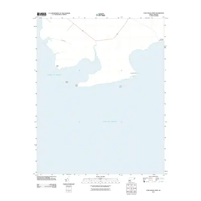 2011 Long Shoal Point2011 Print · USGSThe coastal fringes of Dare County are revealed in the early twenty-first century, showcasing the intricate shoreline where the mainland meets the Pamlico Sound. Boaters and coastal historians can trace named landmarks like Rawls Island, Long Shoal, and Parched Corn Point.
 - 2011 Map of Engelhard East, 2011 Print
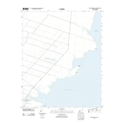 2011 Engelhard East2011 Print · USGSCoastal Hyde County is documented here in the early 2000s, showing the intersection of maritime life and rural infrastructure. Researchers can trace the waterfront around Engelhard and identify landmarks like Liverman Airport and the marshes of Juniper Swamp Point.
 - 2011 Map of Hatteras, 2011 Print
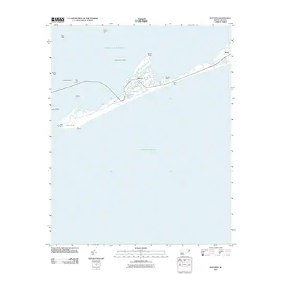 2011 Hatteras2011 Print · USGSThe Outer Banks community of Hatteras is shown in detail at the start of the 2010s, situated between the sound and the sea. Researchers can trace the maritime infrastructure of the island, from the Hatteras Island Free Ferry to the site of Fort Hatteras.
Showing maps 1-25 of 120
Top cities of Hyde County
Frequently asked questions
- What are the different types of historical maps available for Hyde County?
- What is the oldest map of Hyde County?
- Where can I purchase historical maps of Hyde County for my home or office?
- Where can I download high-res historical maps of Hyde County?
- Are there historical topographic maps available for Hyde County?
- Is there historical aerial imagery available for Hyde County?
- Where are historical maps of Hyde County sourced from?