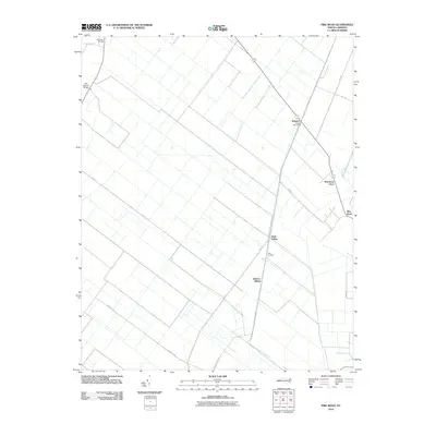
2010 Map of Pike Road
USGS Topo · Published 2010About this map
Railroad Bed Rd anchors the geometry of this eastern North Carolina landscape, tracing a long diagonal through the agricultural flatlands of Beaufort County. The map documents a rural corridor defined by its rail history, where small settlements and loading points like Wenona and Sixth Siding once served the local timber and farming economy. The linear drainage pattern of the terrain is evident, with roads like Swindell Rd and Pike Rd running parallel to a network of canals and ditches that manage the low-lying waters of the region.
Find a feature on this map
21 named features on this map. Tap any name to fly to it.
Don’t see what you’re looking for? This feature index may not catch every label — zoom into the map to look around manually.
Map Details
Editions of this 2010 Pike Road Map
This is the sole edition of this map. No revisions or reprints were ever made.
Other maps of this area

1914 · Belhaven
USGS Topo · 1:48,000

1916 · Belhaven
USGS Topo · 1:62,500

1943 · Plymouth
USGS Topo · 1:125,000

1950 · Pinetown
USGS Topo · 1:24,000

1951 · Belhaven
USGS Topo · 1:24,000

1951 · Pantego
USGS Topo · 1:24,000

1953 · Rocky Mount
USGS Topo · 1:250,000

1954 · Rocky Mount
USGS Topo · 1:250,000

1954 · Plymouth East
USGS Topo · 1:24,000

1954 · Roper South
USGS Topo · 1:24,000