Old Maps of Hyde County, North Carolina for Hiking & Exploration
Hike through history with 88 historic maps of Hyde County. Explore old trails, ghost towns, and forgotten backroads — perfect for outdoor adventurers and local explorers.
- Rediscover forgotten places: Map out old mining camps, roads, and footpaths that no longer exist on modern maps.
- Layer with modern tools: Combine with LiDAR or satellite views to plan hikes through historical terrain.
- Made for exploration: Popular among hikers, overlanders, and local history lovers.
Use these maps to find adventure and explore the hidden past of Hyde County.
Hyde County, NC maps
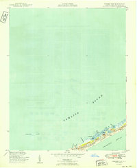
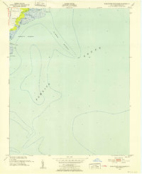
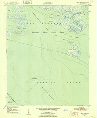
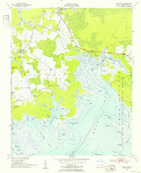
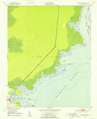
(88)- 1914 Map of Belhaven
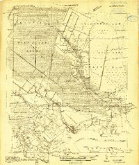 1914 Belhaven1914 Print · USGSCovers Hyde County, including Belhaven, Pantego, and other nearby areas
 - 1916 Map of Belhaven
 1916 Belhaven1916 Print · USGSCovers Hyde County, including Belhaven, Pantego, and other nearby areas3 unique versions available
 - 1943 Map of Columbia
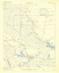
 1943 Columbia1943 Print · USGSCovers Hyde County, including Columbia, Dillion Ridge, and other nearby areas
 - 1943 Map of Plymouth
 1943 Plymouth1943 Print · USGSCovers Hyde County, including Washington, Plymouth, and other nearby areas
 - 1943 Map of Roanoke Island
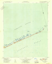
 1943 Roanoke Island1943 Print · USGSCovers Hyde County, including Kill Devil Hills, Nags Head, and other nearby areas
 - 1948 Map of Portsmouth, 1976 Print
 1948 Portsmouth1976 Print · USGSCovers Hyde County, including Portsmouth, Carteret County, and other nearby areas2 unique versions available
 - 1948 Map of Ocracoke, 1984 Print
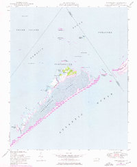
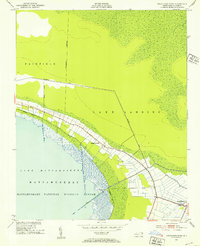
 1948 Ocracoke1984 Print · USGSCovers Hyde County, including Ocracoke, United States, and other nearby areas2 unique versions available
 - 1950 Map of Howard Reef
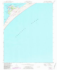
 1950 Howard Reef1950 Print · USGSCovers Hyde County, including United States, North Carolina, and other nearby areas3 unique versions available
 - 1950 Map of Portsmouth
 1950 Portsmouth1950 Print · USGSCovers Hyde County, including Portsmouth, Carteret County, and other nearby areas2 unique versions available
 - 1950 Map of Green Island
 1950 Green Island1950 Print · USGSCovers Hyde County, including Dare County, United States, and other nearby areas3 unique versions available
 - 1950 Map of Lowland, 1952 Print
 1950 Lowland1952 Print · USGSCovers Hyde County, including Mill Seat Landing, Lowland, and other nearby areas4 unique versions available
 - 1951 Map of Middletown Anchorage, 1952 Print
 1951 Middletown Anchorage1952 Print · USGSCovers Hyde County, including United States, North Carolina, and other nearby areas2 unique versions available
 - 1951 Map of Bluff Point, 1952 Print
 1951 Bluff Point1952 Print · USGSCovers Hyde County, including United States, North Carolina, and other nearby areas2 unique versions available
 - 1951 Map of Middletown, 1952 Print
 1951 Middletown1952 Print · USGSCovers Hyde County, including Slocum, Mount Pleasant, and other nearby areas2 unique versions available
 - 1951 Map of Pamlico Point, 1952 Print
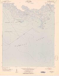
 1951 Pamlico Point1952 Print · USGSCovers Hyde County, including Pamlico County, United States, and other nearby areas
 - 1951 Map of Great Island, 1952 Print
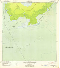
 1951 Great Island1952 Print · USGSCovers Hyde County, including Pamlico County, United States, and other nearby areas2 unique versions available
 - 1951 Map of Pamlico Beach, 1953 Print
 1951 Pamlico Beach1953 Print · USGSCovers Hyde County, including Pamlico Beach, Schoolhouse Landing, and other nearby areas2 unique versions available
 - 1951 Map of Engelhard West, 1953 Print
 1951 Engelhard West1953 Print · USGSCovers Hyde County, including United States, North Carolina, and other nearby areas4 unique versions available
 - 1951 Map of Belhaven, 1953 Print
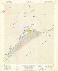
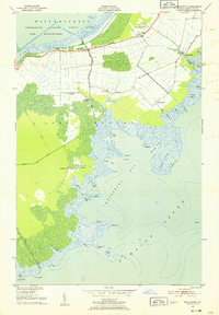
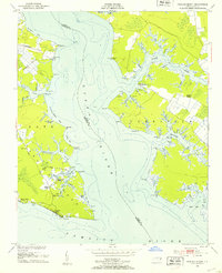
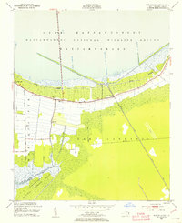
 1951 Belhaven1953 Print · USGSCovers Hyde County, including Belhaven, Hoophole Landing, and other nearby areas4 unique versions available
 - 1951 Map of Scranton, 1953 Print
 1951 Scranton1953 Print · USGSCovers Hyde County, including Sladesville, Beulah, and other nearby areas2 unique versions available
 - 1951 Map of New Holland, 1953 Print
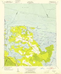
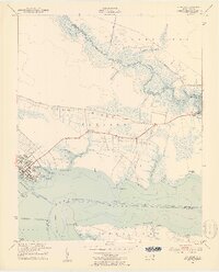
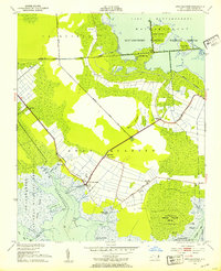
 1951 New Holland1953 Print · USGSCovers Hyde County, including New Holland, Hydeland, and other nearby areas2 unique versions available
 - 1951 Map of Swanquarter, 1953 Print
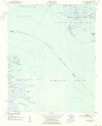
 1951 Swanquarter1953 Print · USGSCovers Hyde County, including Tiny Oak Fork, Oyster Creek Landing, and other nearby areas2 unique versions available
 - 1951 Map of Long Shoal Point, 1953 Print
 1951 Long Shoal Point1953 Print · USGSCovers Hyde County, including Dare County, United States, and other nearby areas2 unique versions available
 - 1951 Map of Engelhard East, 1953 Print
 1951 Engelhard East1953 Print · USGSCovers Hyde County, including Engelhard, Dare County, and other nearby areas4 unique versions available
 - 1951 Map of Fairfield, 1953 Print
 1951 Fairfield1953 Print · USGSCovers Hyde County, including Fairfield, Carmur, and other nearby areas4 unique versions available
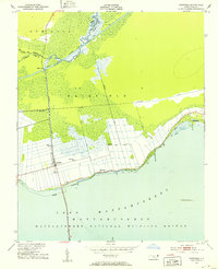
Showing maps 1-25 of 88
Top cities of Hyde County
Frequently asked questions
- What are the different types of historical maps available for Hyde County?
- What is the oldest map of Hyde County?
- Where can I purchase historical maps of Hyde County for my home or office?
- Where can I download high-res historical maps of Hyde County?
- Are there historical topographic maps available for Hyde County?
- Is there historical aerial imagery available for Hyde County?
- Where are historical maps of Hyde County sourced from?