
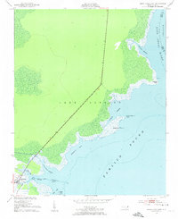
1951 Map of Engelhard East
USGS Topo · Published 1953About this map
Engelhard serves as the primary gateway to the marshes and sounds of the Inner Banks, situated where the land meets Pamlico Sound. This 1950s-era study illustrates a landscape dominated by the transition from the Lake Landing area to the expansive coastal waters. The coastline is defined by intricate drainage systems such as Waupopin Creek and Far Creek, which are critical for the local fishing and maritime trade of the region.
Find a feature on this map
23 named features on this map. Tap any name to fly to it.
Don’t see what you’re looking for? This feature index may not catch every label — zoom into the map to look around manually.
Map Details
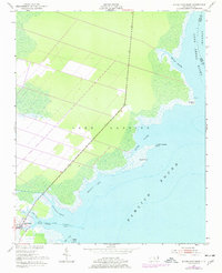
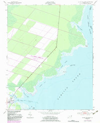
Editions of this 1951 Engelhard East Map
4 editions found
Other maps of this area

1943 · Columbia
USGS Topo · 1:125,000

1943 · Roanoke Island
USGS Topo · 1:125,000

1951 · Middletown Anchorage
USGS Topo · 1:24,000

1951 · Middletown
USGS Topo · 1:24,000

1951 · Engelhard West
USGS Topo · 1:24,000

1951 · Long Shoal Point
USGS Topo · 1:24,000

1953 · Engelhard NW
USGS Topo · 1:24,000

1953 · Fairfield NE
USGS Topo · 1:24,000

1953 · Engelhard NE
USGS Topo · 1:24,000

1953 · Rocky Mount
USGS Topo · 1:250,000