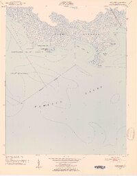
1951 Map of Bluff Point
USGS Topo · Published 1952About this map
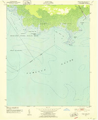
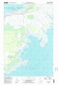
Swanquarter National Wildlife Refuge dominates this coastal landscape along the edge of the Pamlico Sound. This 1951 field-checked survey reveals an intricate network of wetlands and tidal inlets including Juniper Bay, West Bluff Bay, and Cunning Harbor Bay. The map is particularly notable for its detailed hydrography, capturing soundings and shoreline data across Lake Landing and surrounding marshes.
Find a feature on this map
19 named features on this map. Tap any name to fly to it.
Don’t see what you’re looking for? This feature index may not catch every label — zoom into the map to look around manually.
Map Details
Editions of this 1951 Bluff Point Map
2 editions found
Other maps of this area

1951 · Middletown
USGS Topo · 1:24,000

1951 · Great Island
USGS Topo · 1:24,000

1951 · New Holland
USGS Topo · 1:24,000

1951 · Swanquarter
USGS Topo · 1:24,000

1953 · Rocky Mount
USGS Topo · 1:250,000

1954 · Rocky Mount
USGS Topo · 1:250,000
1985 · Bayboro
USGS Topo · 1:100,000
2002 · New Holland
USGS Topo · 1:24,000
2002 · Middletown
USGS Topo · 1:24,000
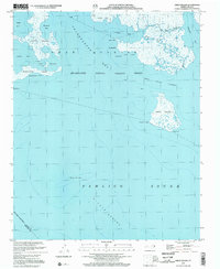
2002 · Great Island
USGS Topo · 1:24,000