Old Maps of Sharon, North Carolina for Academic Research
Study the evolution of Sharon with 12 high-resolution historic maps. Whether you're teaching, researching, or modeling changes in land use, these maps provide essential visual documentation of urban, environmental, and geographic change.
- Analyze long-term change: Track patterns in development, transportation, and natural features.
- Ideal for environmental or urban studies: Support academic projects with primary historical map data.
- Use in the classroom or lab: Educators and researchers rely on these maps to bring historical context to life.
These maps are a powerful tool for teaching, research, and visualizing how Sharon has changed over the decades.
Sharon, NC maps
(12)- 1895 Map of Hickory
 1895 Hickory1895 Print · USGSThe North Carolina foothills come alive in the late nineteenth century as the rail lines reached Hickory and Newton. Genealogists can trace family roots through numerous country landmarks like Tuttle's Store, Emmanuel Church, and Cloninger's Mill.5 unique versions available
 - 1953 Map of Charlotte, 1968 Print
 1953 Charlotte1968 Print · USGSThe North Carolina Piedmont and South Carolina borderlands are shown in detail during a period of significant growth and reservoir development. Trace the rail corridors of the Southern Railway or find family roots in towns like China Grove, Misenheimer, and Lincolnton.3 unique versions available
 - 1954 Map of Charlotte
 1954 Charlotte1954 Print · USGSThe North Carolina Piedmont in the mid-1950s shows a region of rapid growth and industrial expansion centered around Charlotte. Trace the era's infrastructure through the Southern railroad lines and locate significant landmarks like the Charlotte Naval Ammunition Depot and Lake Norman.2 unique versions available
 - 1960 Map of Charlotte
 1960 Charlotte1960 Print · USGSMid-century North Carolina and South Carolina meet in this 1960 survey of the Piedmont's industrial and textile heartland. Trace the growth of Charlotte alongside historic landmarks like Kings Mountain National Military Park and the Charlotte Naval Ammunition Depot.2 unique versions available
 - 1962 Map of Charlotte
 1962 Charlotte1962 Print · USGSThe North Carolina Piedmont in the early sixties showcases a landscape transformed by massive reservoirs and industrial growth. Researchers can trace the development of Lake Norman, locate the Charlotte Naval Ammunition Depot, or find family landmarks like Wesley Chapel and Brown & Norcott Mills.
 - 1970 Map of Stony Point, 1973 Print
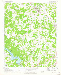 1970 Stony Point1973 Print · USGSThe Alexander and Iredell County line comes alive in the early 1970s as the Alexander RR services rural rail stops. Local historians can trace the development of Lookout Shoals Lake and locate community hubs like Stony Point and Bunker Hill High Sch.2 unique versions available
 - 1986 Map of Hickory
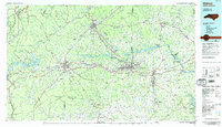 1986 Hickory1986 Print · USGSWestern North Carolina's foothills are seen here in the mid-eighties as textile and furniture towns flourished along the river. Trace the development of Hickory and Lenoir or locate local landmarks like Burke Chapel, Saw Mills, and Rhodhiss Lake.3 unique versions available
 - 2010 Map of Stony Point, 2010 Print
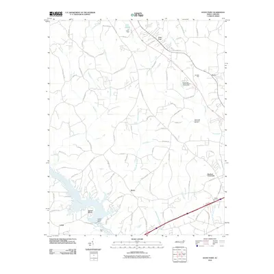 2010 Stony Point2010 Print · USGSIredell County at the turn of the decade shows a landscape of small Piedmont communities and managed waterways. Genealogists and historians can trace family-named routes and landmark sites like Beulah Cemetery, the Island Ford river crossing, and the settlement at Bradford Crossroads.
 - 2013 Map of Stony Point, 2013 Print
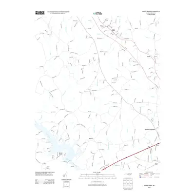 2013 Stony Point2013 Print · USGSIn the early twenty-first century, this area of Iredell County showcases the intersection of rural heritage and the riverfront communities of Sunrise Beach and Catfish. Researchers can trace old family holdings and local landmarks like Sharon, Bradford Crossroads, and the Flying BJ Airport.
 - 2016 Map of Stony Point, 2016 Print
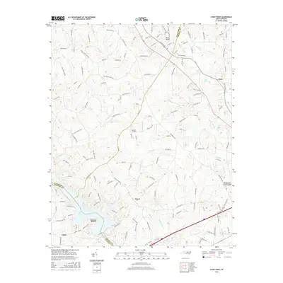 2016 Stony Point2016 Print · USGSThe crossroads and creeks of Alexander and Iredell counties are captured here in the mid-2010s. Trace the shorelines of Lake Lookout and Sunrise Beach, or locate family history at Beulah Cem and the rural junction of Bradford Crossroads.
 - 2019 Map of Stony Point, 2019 Print
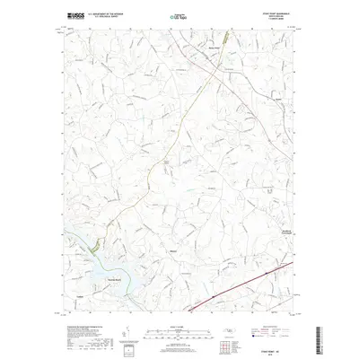 2019 Stony Point2019 Print · USGSThe ALEXANDER CO and IREDELL CO borderlands come alive in this recent survey of the North Carolina Piedmont. Genealogists and historians can trace family-named roads and community anchors like Beulah Cemetery, Sharon School, and the crossroads at Scotts.
 - 2022 Map of Stony Point, 2022 Print
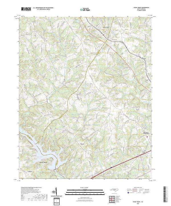 2022 Stony Point2022 Print · USGSThis Piedmont landscape at the Alexander and Iredell County line reflects a heritage of riverfront living and rural crossroads. Genealogists and local researchers can trace the roads to Stony Point, find the Beulah Church Cem, or explore shoreline sites near Sunrise Beach.
End of results
Showing maps 1-12 of 12
Top cities near Sharon
- Hickory historical maps
- Mooresville historical maps
- Statesville historical maps
- Newton historical maps
- Conover historical maps
- Maiden historical maps
See more
Frequently asked questions
- What are the different types of historical maps available for Sharon?
- What is the oldest map of Sharon?
- Where can I purchase historical maps of Sharon for my home or office?
- Where can I download high-res historical maps of Sharon?
- Are there historical topographic maps available for Sharon?
- Is there historical aerial imagery available for Sharon?
- Where are historical maps of Sharon sourced from?