2000s (21st Century) Maps of Statesville, North Carolina
Explore 22 historic maps of Statesville from the 2000s (21st Century). These maps offer a rare glimpse into what life looked like during the 2000s — showing old roads, neighborhoods, homes, and landmarks that have changed or disappeared over time.
Whether you're researching your family's past, planning a metal detecting trip, or studying how Statesville's landscape evolved across the 2000s, these high-resolution maps are a powerful tool for exploring the history of this region.
- Focus on a specific era: All maps on this page are from the 2000s, giving you a focused view of this time period.
- See what’s changed: Compare century-old streets, trails, and buildings to today's modern landscape using overlays and satellite layers.
- Research with precision: Use these maps for genealogy, historical research, land use analysis, or educational projects.
- View, download, or print: Maps are fully viewable online in high resolution, and can be downloaded or printed for your own records.
Start exploring Statesville's history through authentic maps from the 2000s. This is your window into the past.
Statesville, NC maps
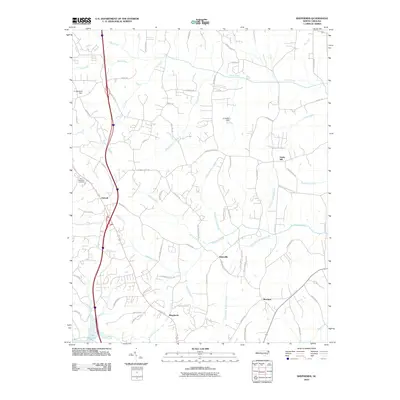
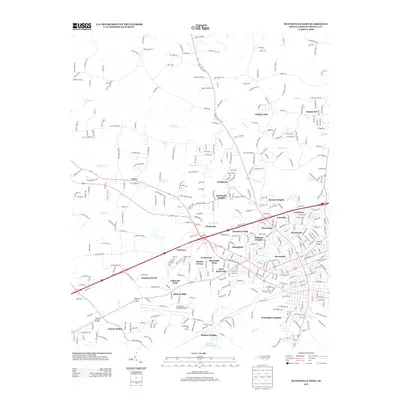
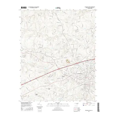
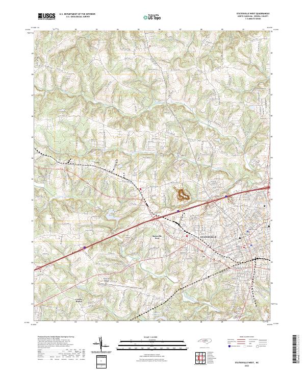
(22)- 2002 Map of Statesville West, 2005 Print
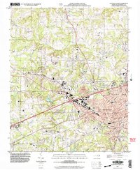 2002 Statesville West2005 Print · USGSIredell County shows its modern growth and deep-rooted community foundations at the start of the millennium. Researchers can trace family history through sites like Oakwood Cem, the grounds of Mitchell College, and rural centers like Celeste Hinkel.
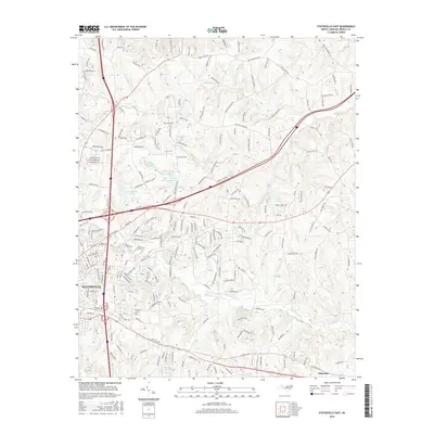
 - 2002 Map of Statesville East, 2005 Print
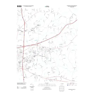
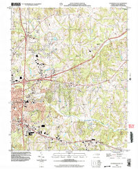 2002 Statesville East2005 Print · USGSIredell County during the early 2000s showcases a landscape of growing infrastructure layered over deep-rooted rural communities. Researchers can trace family history through numerous country landmarks including Belmont Cem, Ebenezer Sch, and Gays Chapel.
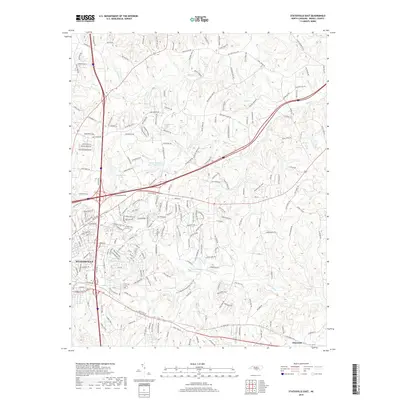
 - 2010 Map of Statesville West, 2010 Print
 2010 Statesville West2010 Print · USGSCovers Statesville, including Statesville West, Hickory Hills, and other nearby areas
 - 2010 Map of Statesville East, 2010 Print
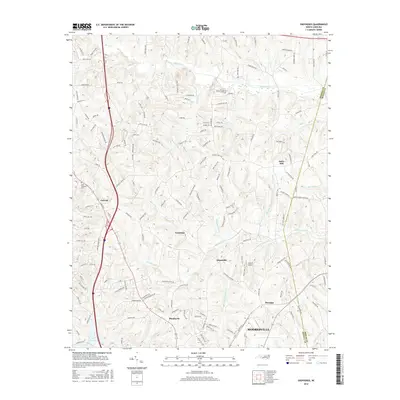
 2010 Statesville East2010 Print · USGSCovers Statesville, including Glenn Echo, Bellwood, and other nearby areas
 - 2010 Map of Shepherds, 2010 Print
 2010 Shepherds2010 Print · USGSCovers Statesville, including Mooresville, Troutman, and other nearby areas
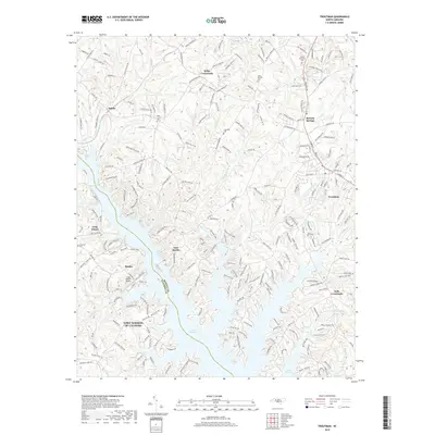
 - 2010 Map of Troutman, 2010 Print
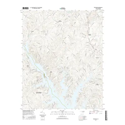
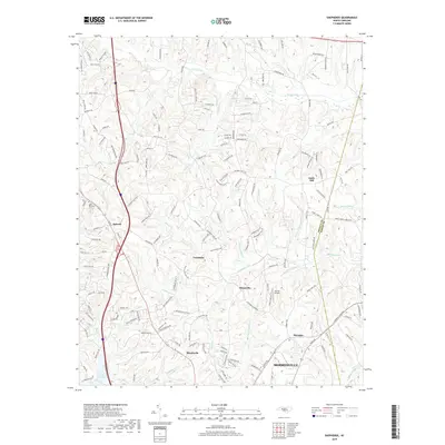
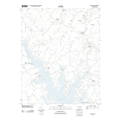 2010 Troutman2010 Print · USGSCovers Statesville, including Troutman, East Monbo, and other nearby areas
 - 2013 Map of Shepherds, 2013 Print
 2013 Shepherds2013 Print · USGSCovers Statesville, including Mooresville, Troutman, and other nearby areas
 - 2013 Map of Troutman, 2013 Print
 2013 Troutman2013 Print · USGSCovers Statesville, including Troutman, East Monbo, and other nearby areas
 - 2013 Map of Statesville West, 2013 Print
 2013 Statesville West2013 Print · USGSCovers Statesville, including Statesville West, Hickory Hills, and other nearby areas
 - 2013 Map of Statesville East, 2013 Print
 2013 Statesville East2013 Print · USGSCovers Statesville, including Glenn Echo, Bellwood, and other nearby areas
 - 2016 Map of Troutman, 2016 Print
 2016 Troutman2016 Print · USGSCovers Statesville, including Troutman, East Monbo, and other nearby areas
 - 2016 Map of Shepherds, 2016 Print
 2016 Shepherds2016 Print · USGSCovers Statesville, including Mooresville, Troutman, and other nearby areas
 - 2016 Map of Statesville West, 2016 Print
 2016 Statesville West2016 Print · USGSCovers Statesville, including Statesville West, Hickory Hills, and other nearby areas
 - 2016 Map of Statesville East, 2016 Print
 2016 Statesville East2016 Print · USGSCovers Statesville, including Glenn Echo, Bellwood, and other nearby areas
 - 2019 Map of Statesville East, 2019 Print
 2019 Statesville East2019 Print · USGSCovers Statesville, including Glenn Echo, Bellwood, and other nearby areas
 - 2019 Map of Troutman, 2019 Print
 2019 Troutman2019 Print · USGSCovers Statesville, including Troutman, East Monbo, and other nearby areas
 - 2019 Map of Statesville West, 2019 Print
 2019 Statesville West2019 Print · USGSCovers Statesville, including Statesville West, Hickory Hills, and other nearby areas
 - 2019 Map of Shepherds, 2019 Print
 2019 Shepherds2019 Print · USGSCovers Statesville, including Mooresville, Troutman, and other nearby areas
 - 2022 Map of Statesville West, 2022 Print
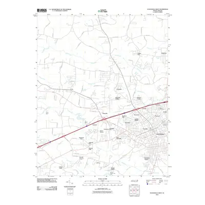
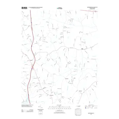
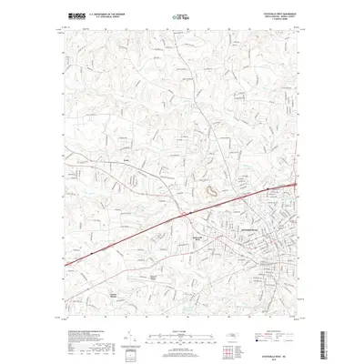
 2022 Statesville West2022 Print · USGSStatesville and western Iredell County are shown here in the early 2020s as urban growth reaches toward historic outlying communities. Researchers can trace the modern layout of STATESVILLE alongside long-established sites like Oakwood Cem and Mitchell Community College.
 - 2022 Map of Shepherds, 2022 Print
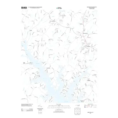
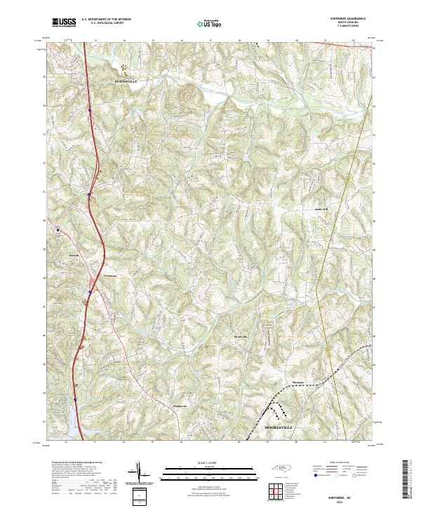 2022 Shepherds2022 Print · USGSIredell County's Piedmont landscape is captured here in the contemporary era, showing the corridor between the growing hubs of Statesville and Mooresville. Researchers can trace old rural centers like Ostwalt and Shinnville, or locate the Saint Michaels Cemetery and Atwell Airport.
 - 2022 Map of Troutman, 2022 Print
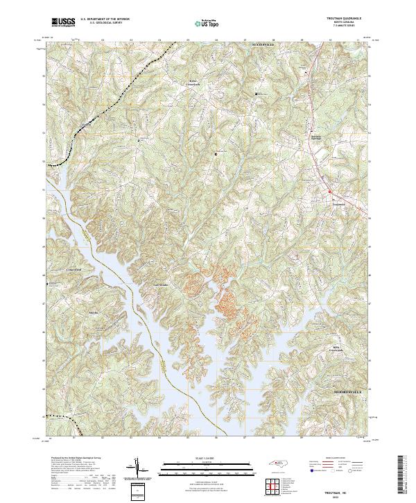 2022 Troutman2022 Print · USGSThe Iredell County shoreline of Lake Norman and the growing town of Troutman are captured here in the early 2020s. Researchers can locate family sites at Saint Martins Cem or trace the recreational development of Lake Norman State Park.
 - 2022 Map of Statesville East, 2022 Print
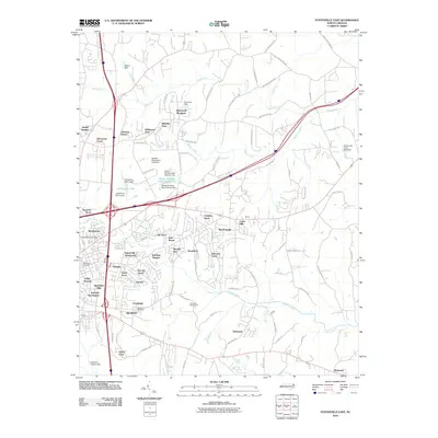
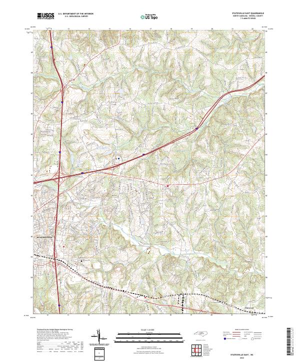 2022 Statesville East2022 Print · USGSIredell County during its modern era reveals the expansion of Statesville into the surrounding Piedmont countryside. Genealogists can trace family landmarks and local routes, from Belmont Cem to the waters of Fifth Creek and Elmwood.
End of results
Showing maps 1-22 of 22
Top cities near Statesville
- Mooresville historical maps
- Troutman historical maps
- Cleveland historical maps
- Catawba historical maps
- Harmony historical maps
- Love Valley historical maps
Top neighborhoods of Statesville
- Brookmeade historical maps
- Eastfield Estates historical maps
- Foxcroft Apartments historical maps
- Green Acres historical maps
- Ian Joy Acres historical maps
- Belmont historical maps
See more
Frequently asked questions
- What are the different types of historical maps available for Statesville?
- What is the oldest map of Statesville?
- Where can I purchase historical maps of Statesville for my home or office?
- Where can I download high-res historical maps of Statesville?
- Are there historical topographic maps available for Statesville?
- Is there historical aerial imagery available for Statesville?
- Where are historical maps of Statesville sourced from?