2000s (21st Century) Maps of Lincolnton, North Carolina
Explore 20 historic maps of Lincolnton from the 2000s (21st Century). These maps offer a rare glimpse into what life looked like during the 2000s — showing old roads, neighborhoods, homes, and landmarks that have changed or disappeared over time.
Whether you're researching your family's past, planning a metal detecting trip, or studying how Lincolnton's landscape evolved across the 2000s, these high-resolution maps are a powerful tool for exploring the history of this region.
- Focus on a specific era: All maps on this page are from the 2000s, giving you a focused view of this time period.
- See what’s changed: Compare century-old streets, trails, and buildings to today's modern landscape using overlays and satellite layers.
- Research with precision: Use these maps for genealogy, historical research, land use analysis, or educational projects.
- View, download, or print: Maps are fully viewable online in high resolution, and can be downloaded or printed for your own records.
Start exploring Lincolnton's history through authentic maps from the 2000s. This is your window into the past.
Lincolnton, NC maps
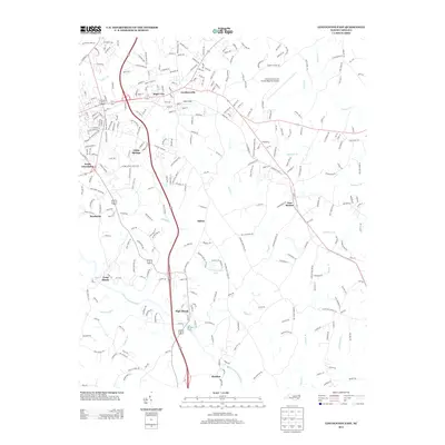
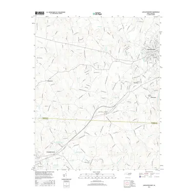
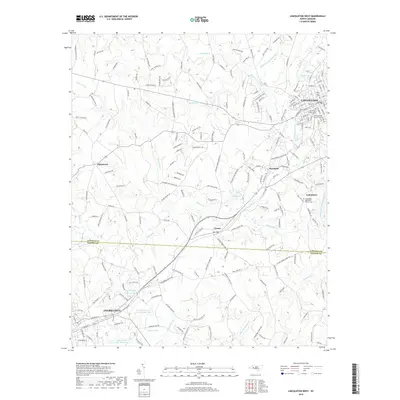
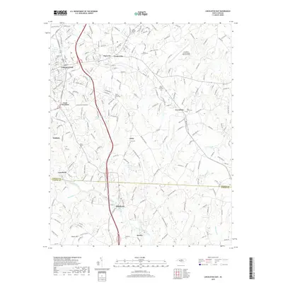
(20)- 2010 Map of Lincolnton West, 2010 Print
 2010 Lincolnton West2010 Print · USGSCovers Lincolnton, including Cherryville, White Pines, and other nearby areas
 - 2010 Map of Reepsville, 2010 Print
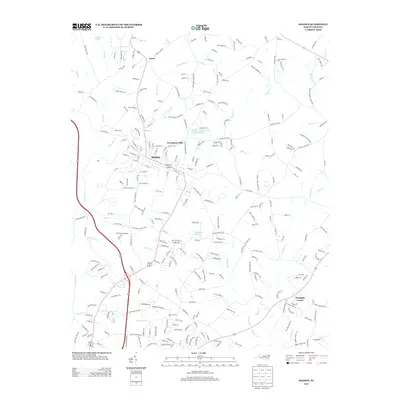
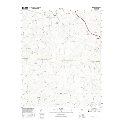
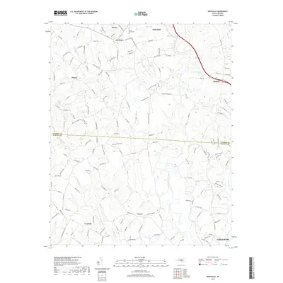
 2010 Reepsville2010 Print · USGSCovers Lincolnton, including Maiden, Plateau, and other nearby areas
 - 2010 Map of Lincolnton East, 2010 Print
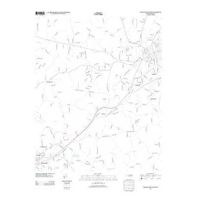
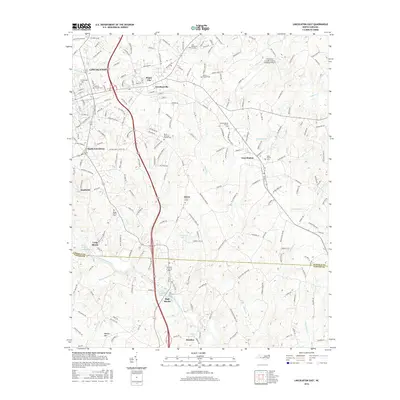
 2010 Lincolnton East2010 Print · USGSCovers Lincolnton, including High Shoals, Long Shoals, and other nearby areas
 - 2010 Map of Maiden, 2010 Print
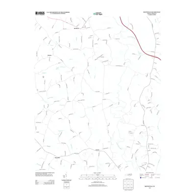
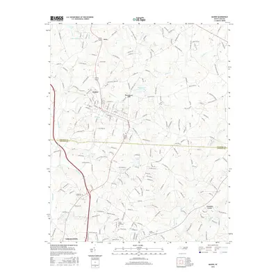
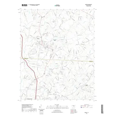
 2010 Maiden2010 Print · USGSCovers Lincolnton, including Maiden, Pumpkin Center, and other nearby areas
 - 2013 Map of Lincolnton East, 2013 Print
 2013 Lincolnton East2013 Print · USGSCovers Lincolnton, including High Shoals, Long Shoals, and other nearby areas
 - 2013 Map of Maiden, 2013 Print
 2013 Maiden2013 Print · USGSCovers Lincolnton, including Maiden, Pumpkin Center, and other nearby areas
 - 2013 Map of Reepsville, 2013 Print
 2013 Reepsville2013 Print · USGSCovers Lincolnton, including Maiden, Plateau, and other nearby areas
 - 2013 Map of Lincolnton West, 2013 Print
 2013 Lincolnton West2013 Print · USGSCovers Lincolnton, including Cherryville, White Pines, and other nearby areas
 - 2016 Map of Lincolnton East, 2016 Print
 2016 Lincolnton East2016 Print · USGSCovers Lincolnton, including High Shoals, Long Shoals, and other nearby areas
 - 2016 Map of Lincolnton West, 2016 Print
 2016 Lincolnton West2016 Print · USGSCovers Lincolnton, including Cherryville, White Pines, and other nearby areas
 - 2016 Map of Maiden, 2016 Print
 2016 Maiden2016 Print · USGSCovers Lincolnton, including Maiden, Pumpkin Center, and other nearby areas
 - 2016 Map of Reepsville, 2016 Print
 2016 Reepsville2016 Print · USGSCovers Lincolnton, including Maiden, Plateau, and other nearby areas
 - 2019 Map of Lincolnton West, 2019 Print
 2019 Lincolnton West2019 Print · USGSCovers Lincolnton, including Cherryville, White Pines, and other nearby areas
 - 2019 Map of Reepsville, 2019 Print
 2019 Reepsville2019 Print · USGSCovers Lincolnton, including Maiden, Plateau, and other nearby areas
 - 2019 Map of Lincolnton East, 2019 Print
 2019 Lincolnton East2019 Print · USGSCovers Lincolnton, including High Shoals, Long Shoals, and other nearby areas
 - 2019 Map of Maiden, 2019 Print
 2019 Maiden2019 Print · USGSCovers Lincolnton, including Maiden, Pumpkin Center, and other nearby areas
 - 2022 Map of Lincolnton East, 2022 Print
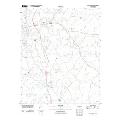
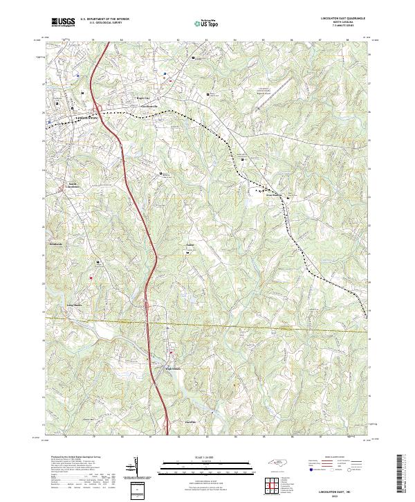 2022 Lincolnton East2022 Print · USGSEastern Lincoln County and northern Gaston County appear in the early 2020s as a mix of industrial centers and rural crossroads. Local historians can trace the community life of Iron Station and High Shoals or locate family plots at Salem Cem and Pearl Church Cem.
 - 2022 Map of Lincolnton West, 2022 Print
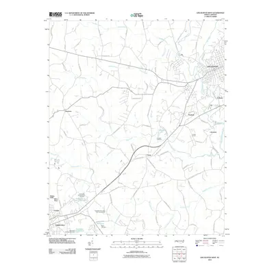
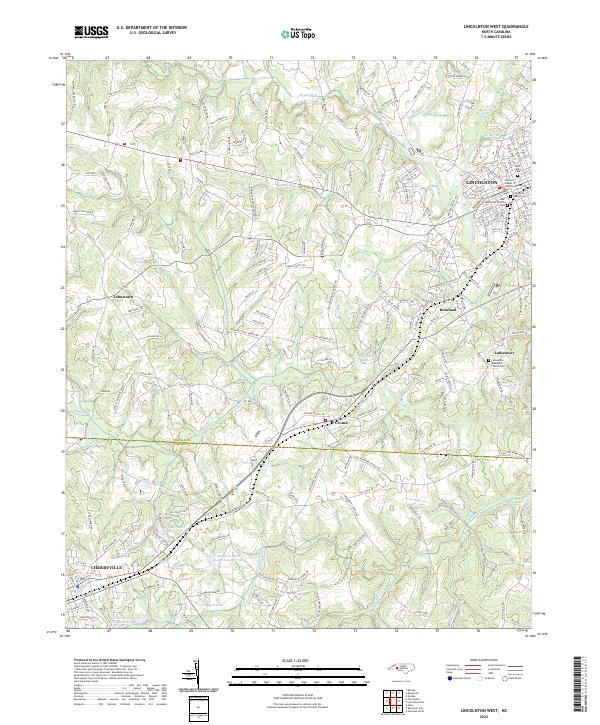 2022 Lincolnton West2022 Print · USGSThe rural landscapes between Lincolnton and Cherryville are shown here in modern detail, from the banks of the South Fork Catawba River to local crossroads. Genealogists can locate several historic burial grounds including Old White Church Cem and the Laboratory Methodist Church Cem.
 - 2022 Map of Reepsville, 2022 Print
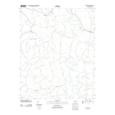
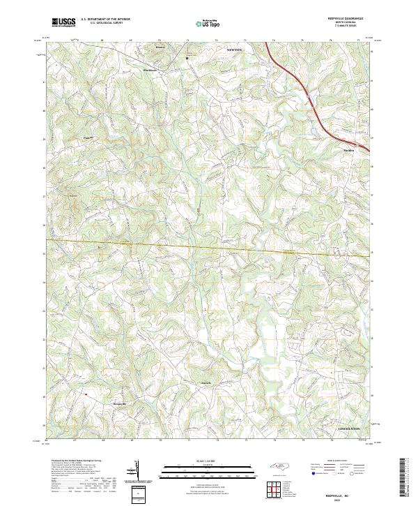 2022 Reepsville2022 Print · USGSCatawba and Lincoln Counties appear here in the early 2020s, showing a landscape defined by the South Fork Catawba River. Researchers can locate ancestral sites near Rhoney Chapel Cem or trace old rural routes through Plateau and Daniels.
 - 2022 Map of Maiden, 2022 Print
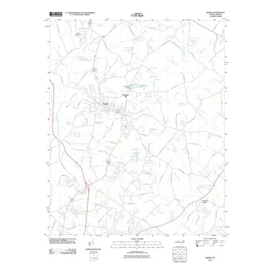
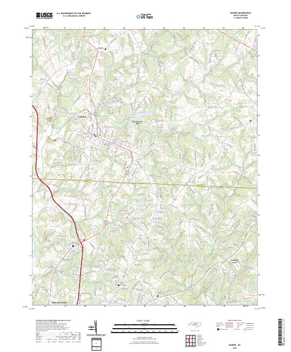 2022 Maiden2022 Print · USGSMaiden and the surrounding Catawba and Lincoln County countryside are shown here in the early twenty-first century. Genealogists can trace family roots at McKendree Church Cem, Antioch Church Cem, or the rural community of Pumpkin Center.
End of results
Showing maps 1-20 of 20
Top cities near Lincolnton
- Gastonia historical maps
- Hickory historical maps
- Shelby historical maps
- Mount Holly historical maps
- Newton historical maps
- Kings Mountain historical maps
See more
Top neighborhoods of Lincolnton
- South Lincolnton historical maps
- Lithia Springs historical maps
- Boger City historical maps
- Goodsonville historical maps
- Polkadot historical maps
Frequently asked questions
- What are the different types of historical maps available for Lincolnton?
- What is the oldest map of Lincolnton?
- Where can I purchase historical maps of Lincolnton for my home or office?
- Where can I download high-res historical maps of Lincolnton?
- Are there historical topographic maps available for Lincolnton?
- Is there historical aerial imagery available for Lincolnton?
- Where are historical maps of Lincolnton sourced from?