2010s Maps of Nash County, North Carolina
Explore 76 historic maps of Nash County from the 2010s. These maps offer a rare glimpse into what life looked like during the 2010s — showing old roads, neighborhoods, homes, and landmarks that have changed or disappeared over time.
Whether you're researching your family's past, planning a metal detecting trip, or studying how Nash County's landscape evolved across the 2010s, these high-resolution maps are a powerful tool for exploring the history of this region.
- Focus on a specific era: All maps on this page are from the 2010s, giving you a focused view of this time period.
- See what’s changed: Compare century-old streets, trails, and buildings to today's modern landscape using overlays and satellite layers.
- Research with precision: Use these maps for genealogy, historical research, land use analysis, or educational projects.
- View, download, or print: Maps are fully viewable online in high resolution, and can be downloaded or printed for your own records.
Start exploring Nash County's history through authentic maps from the 2010s. This is your window into the past.
Nash County, NC maps
(76)- 2010 Map of Middlesex, 2010 Print
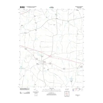 2010 Middlesex2010 Print · USGSNash County at the start of the decade reveals a landscape of enduring crossroads communities and rural water systems. Genealogists and local researchers can trace family landmarks and historical sites from Underwoods Mill to Union Hope and Middlesex Cemetery.
 - 2010 Map of Zebulon, 2010 Print
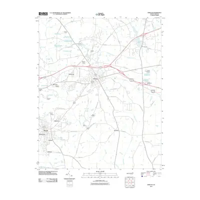 2010 Zebulon2010 Print · USGSEastern Wake County at the turn of the millennium shows a landscape of growing residential communities and longstanding rural outposts. Genealogists and local historians can trace family-named sites like Wakefield Cemetery or locate old crossroads like Lizard Lick and Earpsboro.
 - 2010 Map of Bailey, 2010 Print
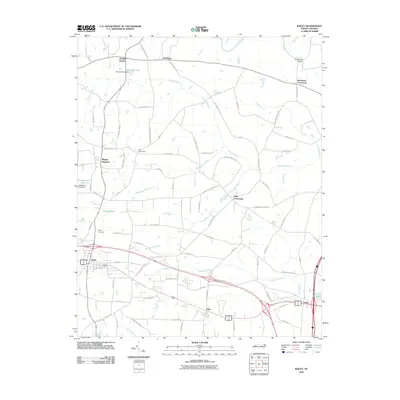 2010 Bailey2010 Print · USGSCoastal plain settlements and winding swamp networks define this Nash and Wilson County landscape in the early 2000s. Genealogists and local historians can trace the development around Bailey and Sims, or locate landmarks like Finchs Millpond and Bailey Cemetery.
 - 2010 Map of Stancils Chapel, 2010 Print
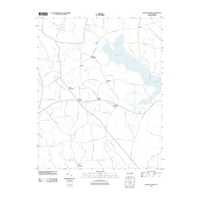 2010 Stancils Chapel2010 Print · USGSJohnston County’s rural crossroads and water-bound landscape are captured here in the early twenty-first century. Researchers can trace family history through sites like Shoeheel Cemetery and community hubs at Stancils Chapel or Moores Crossroads.
 - 2010 Map of Whitakers, 2010 Print
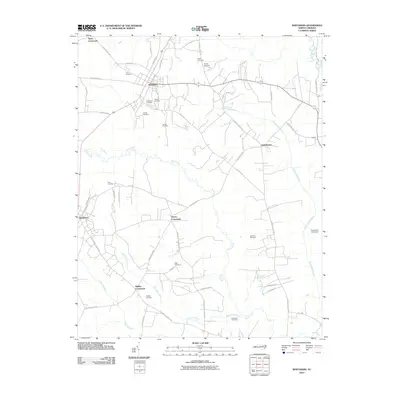 2010 Whitakers2010 Print · USGSThe coastal plain near Rocky Mount is documented here in the early twenty-first century as a landscape of crossroads and creeks. Genealogists can locate family burial grounds like Battle Cemetery and Watson Cemetery or trace the routes through Taylor Crossroads and Phillips Crossroads.
 - 2010 Map of Enfield, 2010 Print
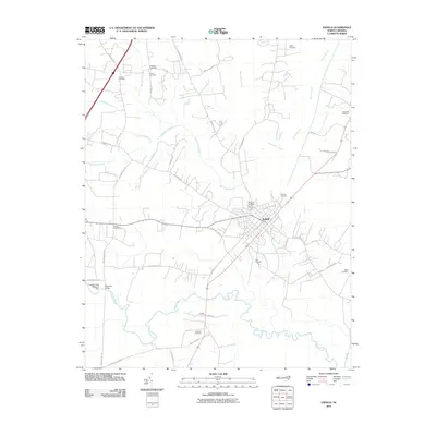 2010 Enfield2010 Print · USGSEnfield and the surrounding Halifax County lowlands appear in high detail during the early 2000s. Researchers can trace family history through numerous burial sites like Old Bricks Cemetery and Elmwood Cemetery, or locate historic crossings at Bellamys Bridge.
 - 2010 Map of Drake, 2010 Print
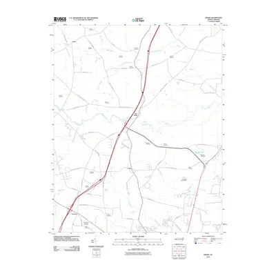 2010 Drake2010 Print · USGSThe crossroads of Nash County come to life in this contemporary survey, showing the rural communities of Gold Rock and Dortches. Genealogists and local historians can trace family lineages through numerous small plots like the Manns Cemetery and Williams Cemetery near Swift Creek.
 - 2010 Map of Ringwood, 2010 Print
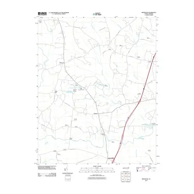 2010 Ringwood2010 Print · USGSThe rural landscapes around Hickory and Ringwood are shown here as they appeared in 2010, characterized by a complex network of wetlands and family homesteads. Genealogists can locate numerous family burial sites, including Wiggins Cemetery, Kennedy Cemetery, and Knight Cemeteries.
 - 2010 Map of Rocky Mount, 2010 Print
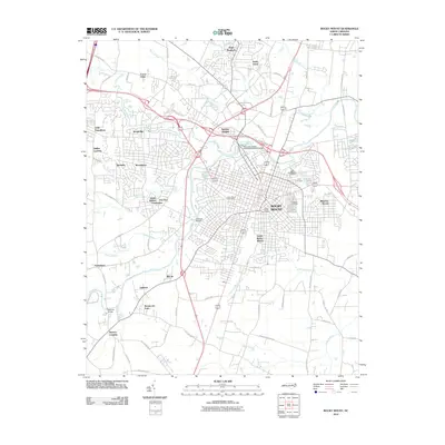 2010 Rocky Mount2010 Print · USGSRocky Mount and its surrounding communities are shown in great detail during the first decade of the millennium. Researchers can trace family sites near Pineview Cemetery or explore neighborhoods like Little Easonburg and Swelton Heights.
 - 2010 Map of Elm City, 2010 Print
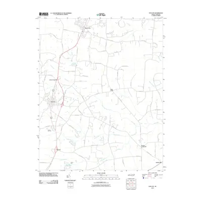 2010 Elm City2010 Print · USGSCoastal plain settlements and winding swamp systems define this Wilson County landscape in the early 2000s. Genealogists and historians can trace the rural layout of communities like Sharpsburg, Bridgersville, and Penders Crossroads.
 - 2010 Map of Winstead Crossroads, 2010 Print
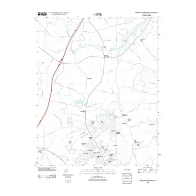 2010 Winstead Crossroads2010 Print · USGSThe northern outskirts of Wilson come into focus in the early twenty-first century, showing the interface between traditional crossroads and modern residential growth. Trace the evolution of the landscape near Lake Wilson and find landmarks like Finch Mill and Winstead Crossroads.
 - 2010 Map of Centerville, 2010 Print
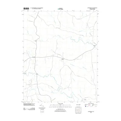 2010 Centerville2010 Print · USGSCenterville and the surrounding Franklin County wetlands are captured here in the early twenty-first century. Researchers can trace the local road network and identify historical crossing points like Shocco Bridge, Arrington Bridge, and the community at Wood.
 - 2010 Map of Red Oak, 2010 Print
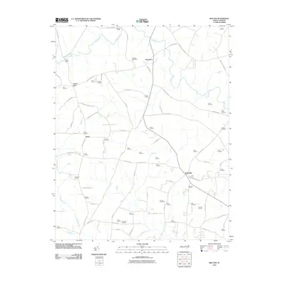 2010 Red Oak2010 Print · USGSCoastal plain farmland in Nash County is captured here in the early twenty-first century, showing a landscape still anchored by crossroads and family history. Genealogists can trace lineage through dozens of local sites like Saint Johns Cemetery, Vick Cemetery, and the community of Taylors Store.
 - 2010 Map of Essex, 2010 Print
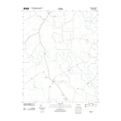 2010 Essex2010 Print · USGSThe rural landscape near the Halifax and Nash County line appears here in detail during the early twenty-first century. Genealogists and local historians can trace family land ties through numerous sites like Lynch Cemetery, Rossers Bridge, and the Aventon Post Office.
 - 2010 Map of Spring Hope, 2010 Print
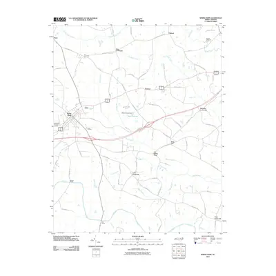 2010 Spring Hope2010 Print · USGSNash County at the start of the 2010s reveals a landscape of historic crossroads and river bottomlands. Researchers can trace family roots through Oakdale Cemetery and Old Spring Hope or locate rural landmarks like Webbs Millpond.
 - 2010 Map of Bunn East, 2010 Print
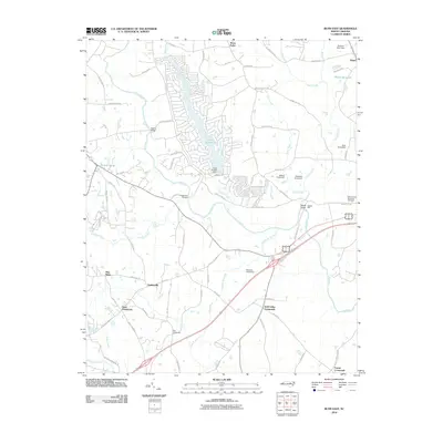 2010 Bunn East2010 Print · USGSFranklin County's rural landscape is captured here in the early twenty-first century, defined by its historic crossroads and river networks. Researchers can trace ancestral connections near Seven Paths or locate landmarks like Webbs Mill and Spring Hope Memorial Cemetery.
 - 2010 Map of Nashville, 2010 Print
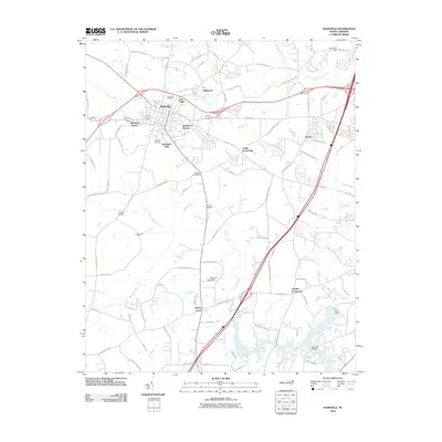 2010 Nashville2010 Print · USGSIn the early twenty-first century, Nashville expanded through new residential developments while maintaining its historical rural junctions. Researchers can trace local lineage at Forest Hill Cemetery or locate old crossings at Evans Bridge and Wards Bridge.
 - 2010 Map of Castalia, 2010 Print
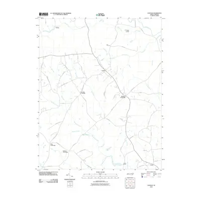 2010 Castalia2010 Print · USGSNash County at the dawn of the 2010s reveals a traditional pattern of crossroads settlements and wetland drainages. Genealogists and local historians can trace family-named landmarks and rural hubs such as Boddies Millpond, Castalia, and Edwards Crossroads.
 - 2010 Map of Justice, 2010 Print
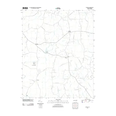 2010 Justice2010 Print · USGSFranklin County communities like Justice and Stallings Crossroads are shown here as they appeared in 2010. Genealogists and local historians can trace family-named routes and landmarks from Stallings Memorial Park to the crossings at Farrell Bridge and the Tar River.
 - 2013 Map of Castalia, 2013 Print
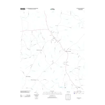 2013 Castalia2013 Print · USGSNorthern Nash County at the start of the 2010s remains a landscape of historic family crossroads and rural waterworks. Researchers can trace the heritage of Castalia and find local landmarks like Boddie Bridge, Bodies Millpond, and Edwards Crossroads.
 - 2013 Map of Justice, 2013 Print
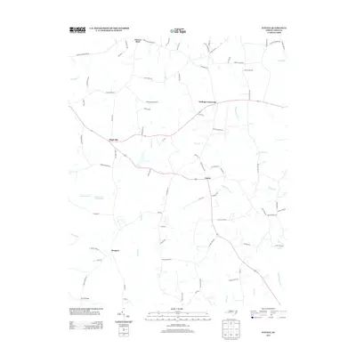 2013 Justice2013 Print · USGSFranklin County's rural crossroads and family homesteads are captured here during the early twenty-first century. Genealogists and local historians can trace family-named routes and small communities like Stallings Crossroads, Hickory Rock, and Farrell Bridge.
 - 2013 Map of Enfield, 2013 Print
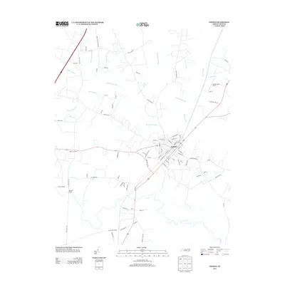 2013 Enfield2013 Print · USGSCoastal Plain settlements and extensive wetlands define this Halifax County landscape in the early 2010s. Researchers can trace the local road network through Wards Crossroads and Bricks, or locate landmarks like the Enfield-Shearin Airport and Bellamys Bridge.
 - 2013 Map of Drake, 2013 Print
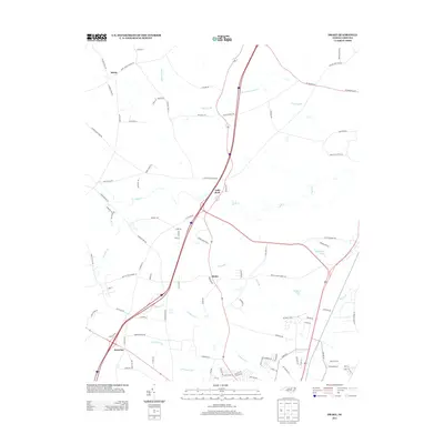 2013 Drake2013 Print · USGSInland North Carolina at the turn of the decade shows the intersection of rural roots and modern growth. Genealogists and local historians can trace the areas around Gold Rock, Salem, and Dortches, or locate family lands near Beaverdam Swamp and Swift Cr.
 - 2013 Map of Red Oak, 2013 Print
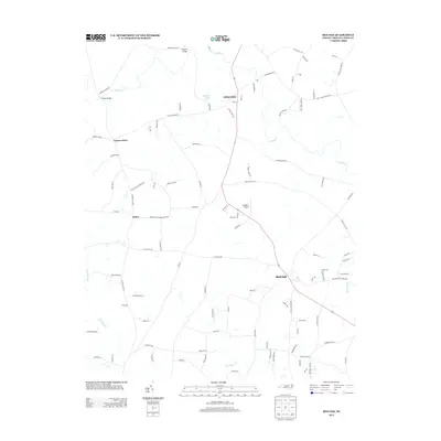 2013 Red Oak2013 Print · USGSNash County in the early twenty-first century remains a landscape of historic crossroads and family-named routes. Researchers can trace local lineage through landmarks like Taylors Store, Hilliardston, and the creek crossings at Drakes Bridge.
 - 2013 Map of Ringwood, 2013 Print
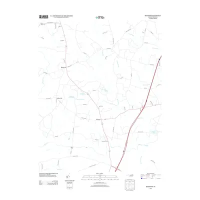 2013 Ringwood2013 Print · USGSThe rural landscape near Ringwood and Glenview is captured here in the early 2010s, showing a region defined by its historic swamp networks and small crossroads. Researchers can locate family landmarks and water features like Jack Horse Swamp, Culpeppers Bridge, and Moss Lake.
Showing maps 1-25 of 76
Top cities of Nash County
- Nashville historical maps
- Red Oak historical maps
- Spring Hope historical maps
- Middlesex historical maps
- Dortches historical maps
- Bailey historical maps
See more
Frequently asked questions
- What are the different types of historical maps available for Nash County?
- What is the oldest map of Nash County?
- Where can I purchase historical maps of Nash County for my home or office?
- Where can I download high-res historical maps of Nash County?
- Are there historical topographic maps available for Nash County?
- Is there historical aerial imagery available for Nash County?
- Where are historical maps of Nash County sourced from?