2000s (21st Century) Maps of Topsail Beach, North Carolina
Explore 20 historic maps of Topsail Beach from the 2000s (21st Century). These maps offer a rare glimpse into what life looked like during the 2000s — showing old roads, neighborhoods, homes, and landmarks that have changed or disappeared over time.
Whether you're researching your family's past, planning a metal detecting trip, or studying how Topsail Beach's landscape evolved across the 2000s, these high-resolution maps are a powerful tool for exploring the history of this region.
- Focus on a specific era: All maps on this page are from the 2000s, giving you a focused view of this time period.
- See what’s changed: Compare century-old streets, trails, and buildings to today's modern landscape using overlays and satellite layers.
- Research with precision: Use these maps for genealogy, historical research, land use analysis, or educational projects.
- View, download, or print: Maps are fully viewable online in high resolution, and can be downloaded or printed for your own records.
Start exploring Topsail Beach's history through authentic maps from the 2000s. This is your window into the past.
Topsail Beach, NC maps
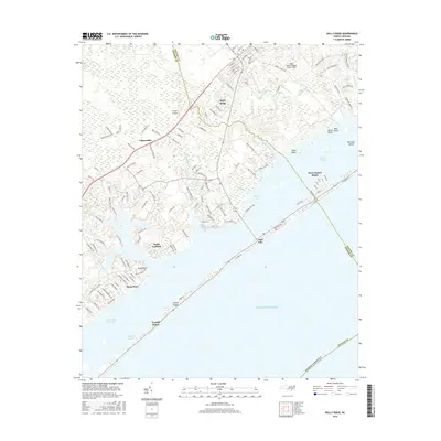
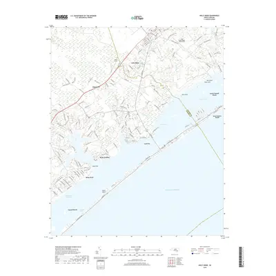
(20)- 2010 Map of Holly Ridge, 2010 Print
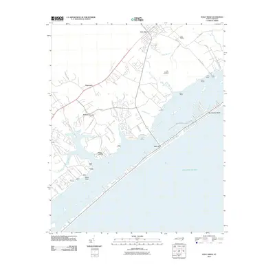 2010 Holly Ridge2010 Print · USGSCovers Topsail Beach, including Surf City, Holly Ridge, and other nearby areas
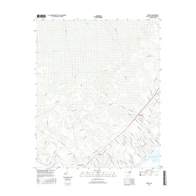
 - 2010 Map of Topsail, 2010 Print
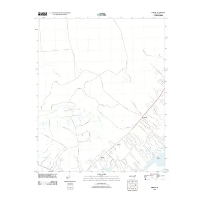 2010 Topsail2010 Print · USGSCovers Topsail Beach, including Topsail, Pender County, and other nearby areas
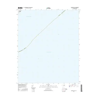
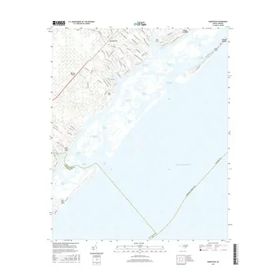
 - 2010 Map of Hampstead, 2010 Print
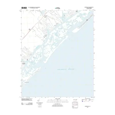 2010 Hampstead2010 Print · USGSCovers Topsail Beach, including Hampstead, Brown Town, and other nearby areas
 - 2011 Map of Hampstead OE E, 2011 Print
 2011 Hampstead OE E2011 Print · USGSCovers Topsail Beach, including Pender County, United States, and other nearby areas
 - 2013 Map of Hampstead OE E, 2013 Print
 2013 Hampstead OE E2013 Print · USGSCovers Topsail Beach, including Pender County, United States, and other nearby areas
 - 2013 Map of Holly Ridge, 2013 Print
 2013 Holly Ridge2013 Print · USGSCovers Topsail Beach, including Surf City, Holly Ridge, and other nearby areas
 - 2013 Map of Hampstead, 2013 Print
 2013 Hampstead2013 Print · USGSCovers Topsail Beach, including Hampstead, Brown Town, and other nearby areas
 - 2013 Map of Topsail, 2013 Print
 2013 Topsail2013 Print · USGSCovers Topsail Beach, including Topsail, Pender County, and other nearby areas
 - 2016 Map of Holly Ridge, 2016 Print
 2016 Holly Ridge2016 Print · USGSCovers Topsail Beach, including Surf City, Holly Ridge, and other nearby areas
 - 2016 Map of Hampstead OE E, 2016 Print
 2016 Hampstead OE E2016 Print · USGSCovers Topsail Beach, including Pender County, United States, and other nearby areas
 - 2016 Map of Hampstead, 2016 Print
 2016 Hampstead2016 Print · USGSCovers Topsail Beach, including Hampstead, Brown Town, and other nearby areas
 - 2016 Map of Topsail, 2016 Print
 2016 Topsail2016 Print · USGSCovers Topsail Beach, including Topsail, Pender County, and other nearby areas
 - 2019 Map of Hampstead, 2019 Print
 2019 Hampstead2019 Print · USGSCovers Topsail Beach, including Hampstead, Brown Town, and other nearby areas
 - 2019 Map of Hampstead OE E, 2019 Print
 2019 Hampstead OE E2019 Print · USGSCovers Topsail Beach, including Pender County, United States, and other nearby areas
 - 2019 Map of Topsail, 2019 Print
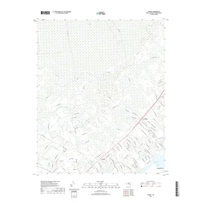 2019 Topsail2019 Print · USGSCovers Topsail Beach, including Topsail, Pender County, and other nearby areas
 - 2019 Map of Holly Ridge, 2019 Print
 2019 Holly Ridge2019 Print · USGSCovers Topsail Beach, including Surf City, Holly Ridge, and other nearby areas
 - 2022 Map of Hampstead OE E, 2022 Print
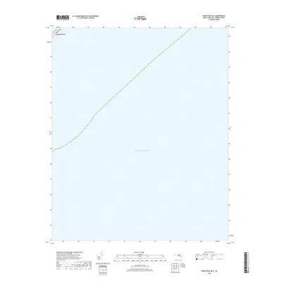
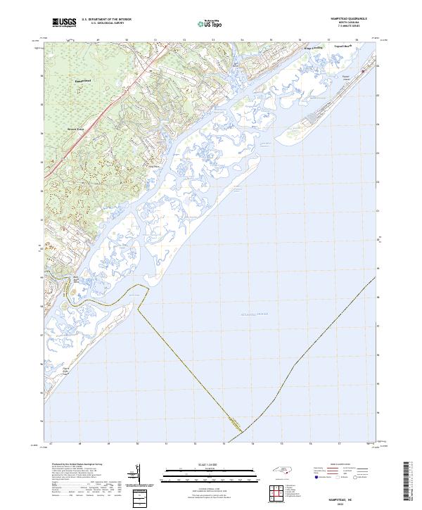
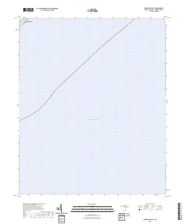 2022 Hampstead OE E2022 Print · USGSThe Pender County coastline at Topsail Beach is captured in this recent survey of North Carolina’s barrier islands. Genealogists and local researchers can trace the coastal layout and street names like Bridgers Ave along the edge of the Atlantic Ocean.
 - 2022 Map of Topsail, 2022 Print
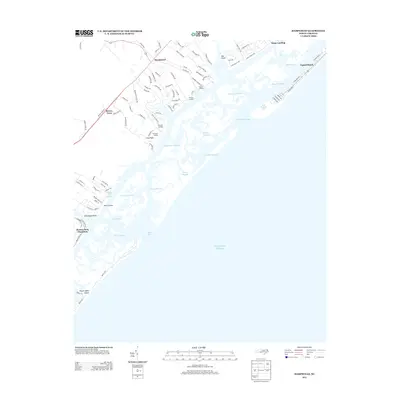
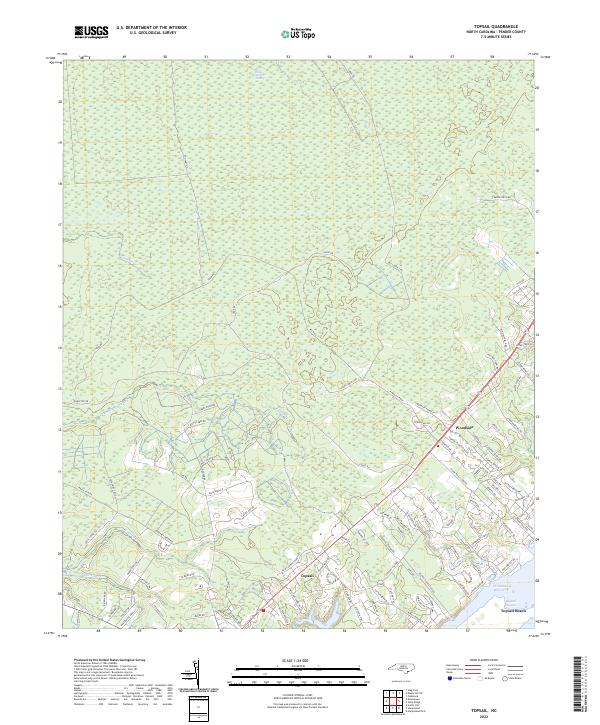 2022 Topsail2022 Print · USGSCoastal Pender County and its barrier islands are documented here during a period of significant residential expansion. Researchers can trace modern developments alongside maritime features like Holly Shelter Swamp, Topsail Sound, and Topsail Beach.
 - 2022 Map of Holly Ridge, 2022 Print
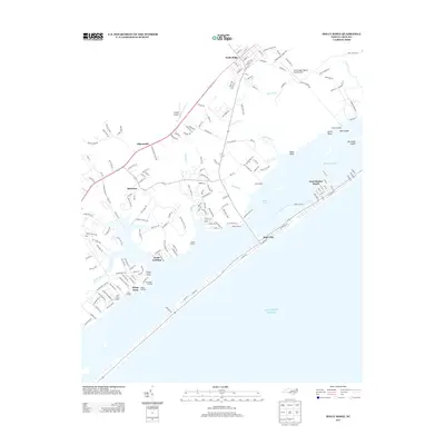
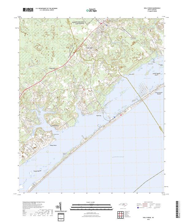 2022 Holly Ridge2022 Print · USGSThe North Carolina coast at Holly Ridge and Surf City comes into focus during this recent era of beach development and maritime travel. Researchers can trace land use from the Intracoastal Waterway to the runways of the Holly Ridge/Topsail Island Airport.
 - 2022 Map of Hampstead, 2022 Print
 2022 Hampstead2022 Print · USGSThe Pender County coastline and the growing community of Hampstead are captured in this contemporary look at North Carolina's barrier islands. Genealogists and locals can trace land use near Brown Town, the shores of Topsail Island, and landmarks like Kings Landing.
End of results
Showing maps 1-20 of 20
Top cities near Topsail Beach
- Wilmington historical maps
- Wrightsville Beach historical maps
- Surf City historical maps
- Holly Ridge historical maps
- North Topsail Beach historical maps
- Hampstead historical maps
Frequently asked questions
- What are the different types of historical maps available for Topsail Beach?
- What is the oldest map of Topsail Beach?
- Where can I purchase historical maps of Topsail Beach for my home or office?
- Where can I download high-res historical maps of Topsail Beach?
- Are there historical topographic maps available for Topsail Beach?
- Is there historical aerial imagery available for Topsail Beach?
- Where are historical maps of Topsail Beach sourced from?