2000s (21st Century) Maps of Polk County, North Carolina
Explore 55 historic maps of Polk County from the 2000s (21st Century). These maps offer a rare glimpse into what life looked like during the 2000s — showing old roads, neighborhoods, homes, and landmarks that have changed or disappeared over time.
Whether you're researching your family's past, planning a metal detecting trip, or studying how Polk County's landscape evolved across the 2000s, these high-resolution maps are a powerful tool for exploring the history of this region.
- Focus on a specific era: All maps on this page are from the 2000s, giving you a focused view of this time period.
- See what’s changed: Compare century-old streets, trails, and buildings to today's modern landscape using overlays and satellite layers.
- Research with precision: Use these maps for genealogy, historical research, land use analysis, or educational projects.
- View, download, or print: Maps are fully viewable online in high resolution, and can be downloaded or printed for your own records.
Start exploring Polk County's history through authentic maps from the 2000s. This is your window into the past.
Polk County, NC maps
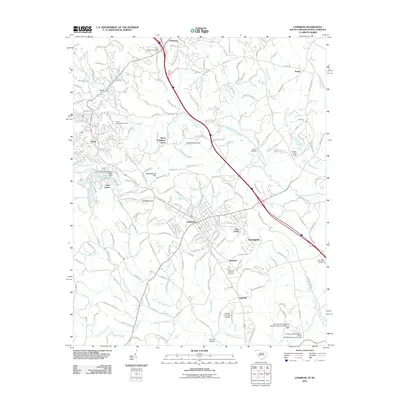
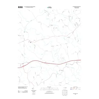
(55)- 2010 Map of Mill Spring, 2010 Print
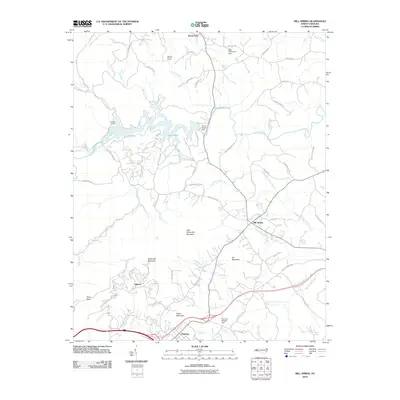 2010 Mill Spring2010 Print · USGSCovers Polk County, including Columbus, Stearns, and other nearby areas
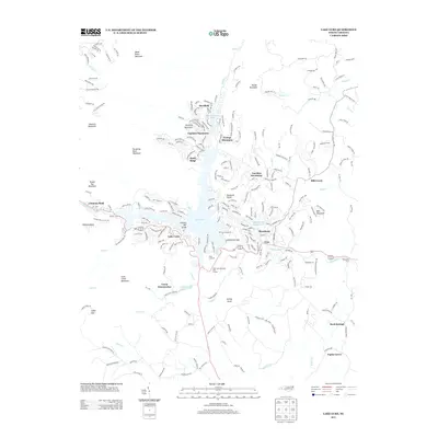
 - 2010 Map of Lake Lure, 2010 Print
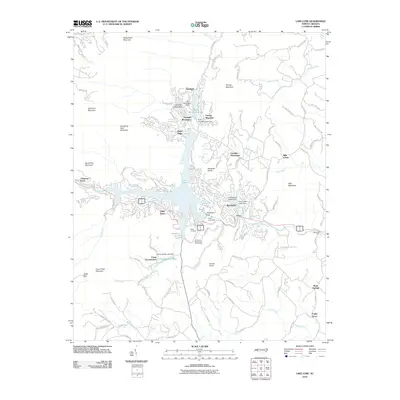 2010 Lake Lure2010 Print · USGSCovers Polk County, including Lake Lure, Chimney Rock, and other nearby areas
 - 2010 Map of Cliffield Mountain, 2010 Print
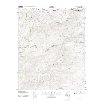
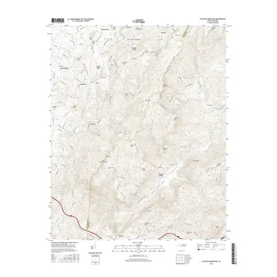
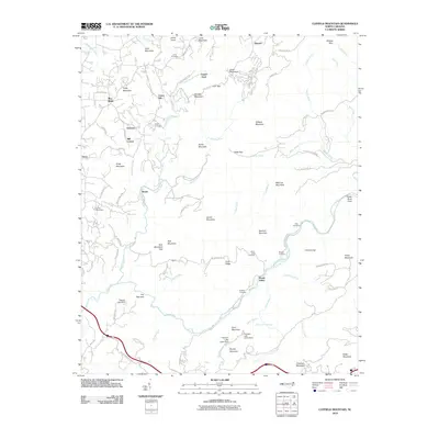 2010 Cliffield Mountain2010 Print · USGSCovers Polk County, including Blue Ridge, Mill Corner, and other nearby areas
 - 2010 Map of Bat Cave, 2010 Print
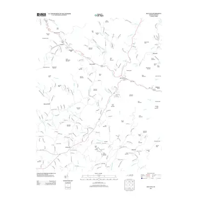
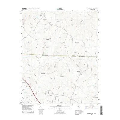
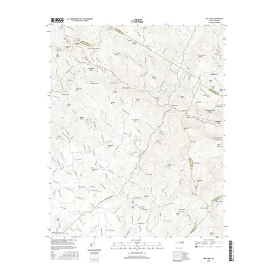
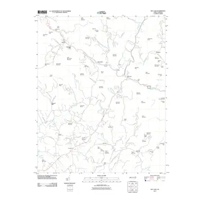 2010 Bat Cave2010 Print · USGSCovers Polk County, including Gerton, Bearwallow, and other nearby areas
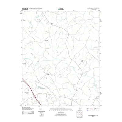
 - 2010 Map of Pea Ridge, 2010 Print
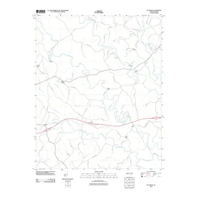 2010 Pea Ridge2010 Print · USGSCovers Polk County, including Cox, Beulah, and other nearby areas
 - 2010 Map of Rutherfordton South, 2010 Print
 2010 Rutherfordton South2010 Print · USGSCovers Polk County, including Forest City, Rutherfordton, and other nearby areas
 - 2010 Map of Shingle Hollow, 2010 Print
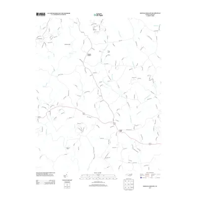
 2010 Shingle Hollow2010 Print · USGSCovers Polk County, including Green Hill, Shingle Hollow, and other nearby areas
 - 2011 Map of Saluda, 2011 Print
 2011 Saluda2011 Print · USGSCovers Polk County, including Tryon, Melrose, and other nearby areas
 - 2011 Map of Landrum, 2011 Print
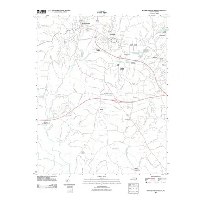
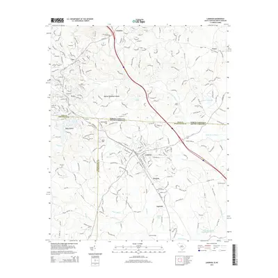
 2011 Landrum2011 Print · USGSCovers Polk County, including Landrum, Tryon, and other nearby areas
 - 2011 Map of Fingerville West, 2011 Print
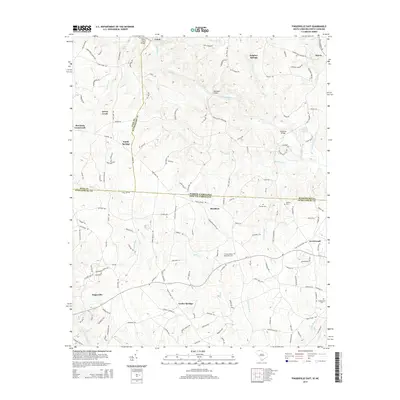
 2011 Fingerville West2011 Print · USGSCovers Polk County, including Campobello, Green Creek, and other nearby areas
 - 2011 Map of Fingerville East, 2011 Print
 2011 Fingerville East2011 Print · USGSCovers Polk County, including Cooley Springs, Sandy Springs, and other nearby areas
 - 2013 Map of Rutherfordton South, 2013 Print
 2013 Rutherfordton South2013 Print · USGSCovers Polk County, including Forest City, Rutherfordton, and other nearby areas
 - 2013 Map of Pea Ridge, 2013 Print
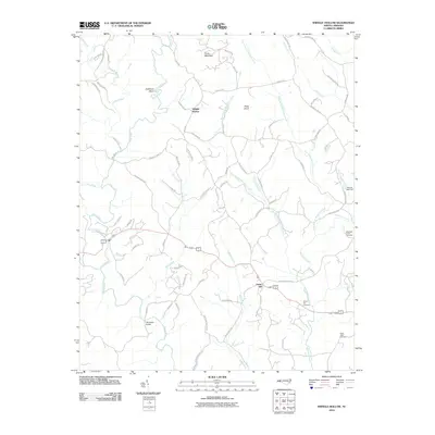
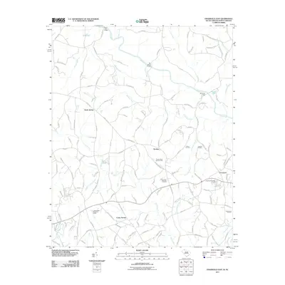
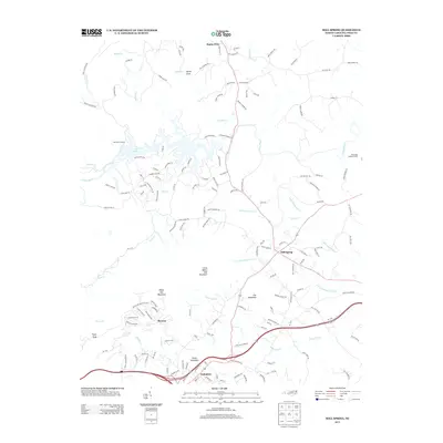
 2013 Pea Ridge2013 Print · USGSCovers Polk County, including Cox, Beulah, and other nearby areas
 - 2013 Map of Mill Spring, 2013 Print
 2013 Mill Spring2013 Print · USGSCovers Polk County, including Columbus, Stearns, and other nearby areas
 - 2013 Map of Saluda, 2013 Print
 2013 Saluda2013 Print · USGSCovers Polk County, including Tryon, Melrose, and other nearby areas
 - 2013 Map of Cliffield Mountain, 2013 Print
 2013 Cliffield Mountain2013 Print · USGSCovers Polk County, including Blue Ridge, Mill Corner, and other nearby areas
 - 2013 Map of Shingle Hollow, 2013 Print
 2013 Shingle Hollow2013 Print · USGSCovers Polk County, including Green Hill, Shingle Hollow, and other nearby areas
 - 2013 Map of Lake Lure, 2013 Print
 2013 Lake Lure2013 Print · USGSCovers Polk County, including Lake Lure, Chimney Rock, and other nearby areas
 - 2013 Map of Bat Cave, 2013 Print
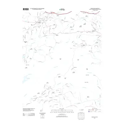
 2013 Bat Cave2013 Print · USGSCovers Polk County, including Gerton, Bearwallow, and other nearby areas
 - 2014 Map of Fingerville East, 2014 Print
 2014 Fingerville East2014 Print · USGSCovers Polk County, including Cooley Springs, Sandy Springs, and other nearby areas
 - 2014 Map of Fingerville West, 2014 Print
 2014 Fingerville West2014 Print · USGSCovers Polk County, including Campobello, Green Creek, and other nearby areas
 - 2014 Map of Landrum, 2014 Print
 2014 Landrum2014 Print · USGSCovers Polk County, including Landrum, Tryon, and other nearby areas
 - 2016 Map of Rutherfordton South, 2016 Print
 2016 Rutherfordton South2016 Print · USGSCovers Polk County, including Forest City, Rutherfordton, and other nearby areas
 - 2016 Map of Bat Cave, 2016 Print
 2016 Bat Cave2016 Print · USGSCovers Polk County, including Gerton, Bearwallow, and other nearby areas
 - 2016 Map of Cliffield Mountain, 2016 Print
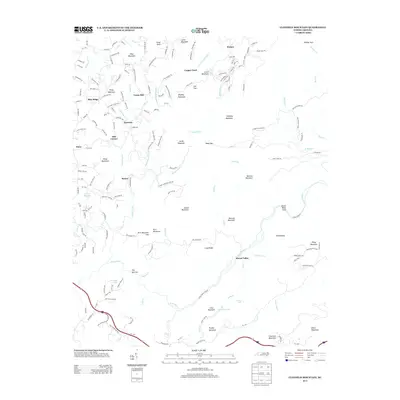
 2016 Cliffield Mountain2016 Print · USGSCovers Polk County, including Blue Ridge, Mill Corner, and other nearby areas
Showing maps 1-25 of 55
Top cities of Polk County
Frequently asked questions
- What are the different types of historical maps available for Polk County?
- What is the oldest map of Polk County?
- Where can I purchase historical maps of Polk County for my home or office?
- Where can I download high-res historical maps of Polk County?
- Are there historical topographic maps available for Polk County?
- Is there historical aerial imagery available for Polk County?
- Where are historical maps of Polk County sourced from?