2020s Maps of Richmond County, North Carolina
Explore 19 historic maps of Richmond County from the 2020s. These maps offer a rare glimpse into what life looked like during the 2020s — showing old roads, neighborhoods, homes, and landmarks that have changed or disappeared over time.
Whether you're researching your family's past, planning a metal detecting trip, or studying how Richmond County's landscape evolved across the 2020s, these high-resolution maps are a powerful tool for exploring the history of this region.
- Focus on a specific era: All maps on this page are from the 2020s, giving you a focused view of this time period.
- See what’s changed: Compare century-old streets, trails, and buildings to today's modern landscape using overlays and satellite layers.
- Research with precision: Use these maps for genealogy, historical research, land use analysis, or educational projects.
- View, download, or print: Maps are fully viewable online in high resolution, and can be downloaded or printed for your own records.
Start exploring Richmond County's history through authentic maps from the 2020s. This is your window into the past.
Richmond County, NC maps
(19)- 2022 Map of Ghio, 2022 Print
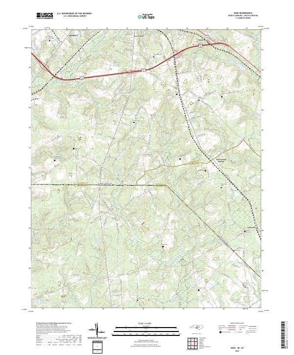 2022 Ghio2022 Print · USGSThe Carolina borderlands near the Richmond and Marlboro county lines are shown here as they appeared recently, centered on the crossroads of Ghio Scholl Station. Family historians can locate numerous rural burial sites and congregations such as Waymon Chapel Cem and Grace Chapel Church.
 - 2022 Map of Marston, 2022 Print
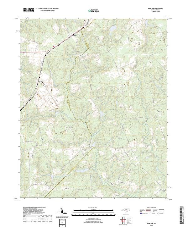 2022 Marston2022 Print · USGSThe borderlands of Richmond and Scotland counties appear here in the early 2020s, showing a landscape shaped by rural roads and expansive wetlands. Researchers can locate family landmarks such as Watson Cem and Livingston Cem or trace the waters of Gum Swamp Cr.
 - 2022 Map of Gibson, 2022 Print
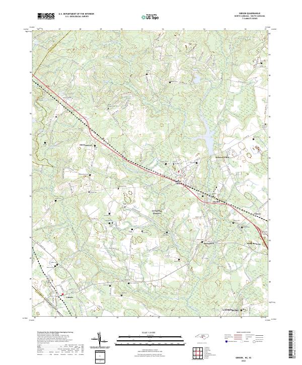 2022 Gibson2022 Print · USGSThe North Carolina borderlands around Gibson and LAURINBURG were shaped by a legacy of mills and family-run homesteads. Historians can trace early industry and kinship through Richmond Mill, Ida Mill, and numerous burial grounds like Old Hundred Cem and Saint Johns Cem.
 - 2022 Map of Diggs, 2022 Print
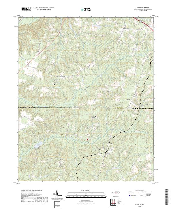 2022 Diggs2022 Print · USGSThe Carolina borderlands come into focus in this recent study of the rural terrain between Richmond and Marlboro counties. Researchers can locate family landmarks such as White Creek Free Will Baptist Cem, the Seaboard rail line, and the settlement of Diggs.
 - 2022 Map of Millstone Lake, 2022 Print
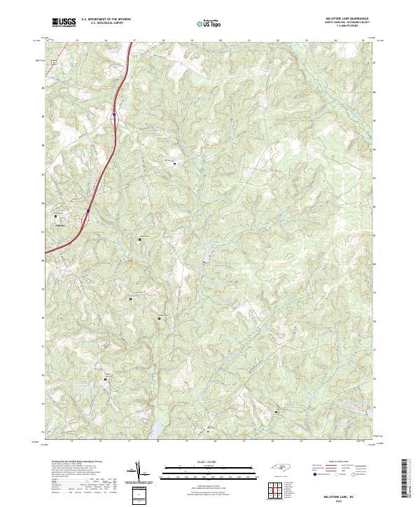 2022 Millstone Lake2022 Print · USGSNorth of Rockingham in the early 2020s, this area of Richmond County shows a landscape defined by family history and managed conservation. Genealogists can trace local roots through numerous sites like Ellerbe Cem and Gibson Cem, while outdoor researchers can locate Millstone Lake and the Sandhill Game Management Rd.
 - 2022 Map of West End, 2022 Print
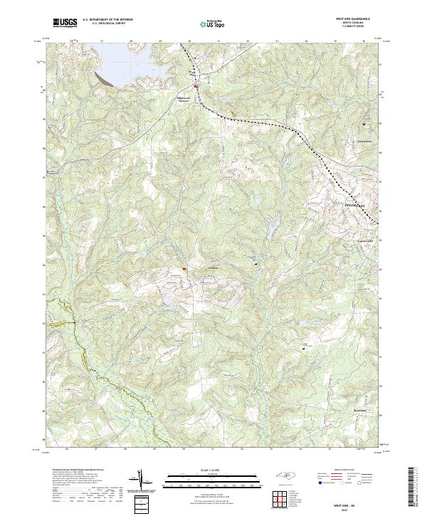 2022 West End2022 Print · USGSThe Moore County Sandhills are captured here in the early twenty-first century, showing the growth of West End and Pinehurst. Trace local family history at Jackson Springs Cem or follow the waters of Drowning Creek.
 - 2022 Map of Norman, 2022 Print
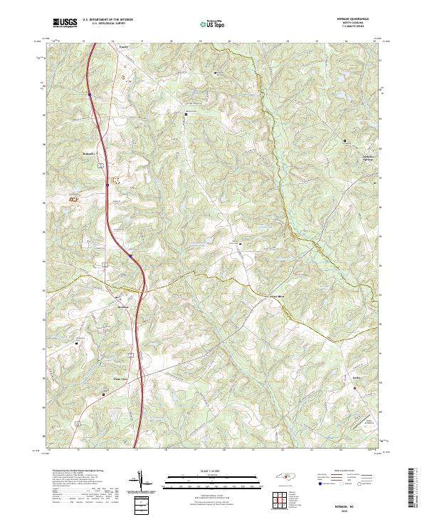 2022 Norman2022 Print · USGSThe crossroads of Richmond, Montgomery, and Moore counties are captured here in the early 2020s. Researchers can trace ancestral sites at Providence Cem or Gum Springs Cem and locate landmarks like the Derby Aerodome and Norman.
 - 2022 Map of Hoffman, 2022 Print
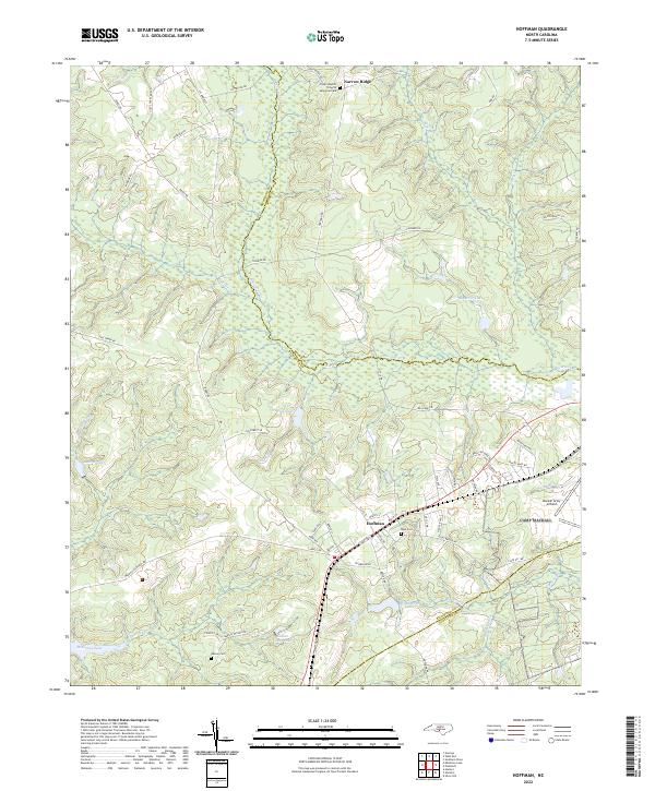 2022 Hoffman2022 Print · USGSIn the Sandhills of the early twenty-first century, the area around Hoffman remains a landscape of military aviation and quiet rural communities. Researchers can trace local lineage at Watson Cem or explore the hydrography of McKinney Lake and Drowning Cr.
 - 2022 Map of Mount Gilead East, 2022 Print
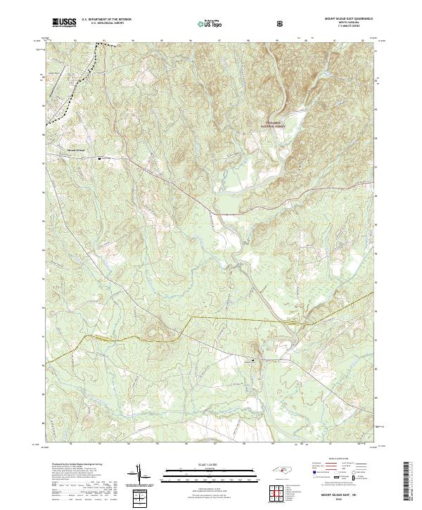 2022 Mount Gilead East2022 Print · USGSThe eastern outskirts of Mount Gilead and the Uwharrie hills come into focus in this recent survey. Local researchers can trace family landmarks and rural routes such as Sharon Cem, Jordan Field, and the various branches of the Little River.
 - 2022 Map of Harrisville, 2022 Print
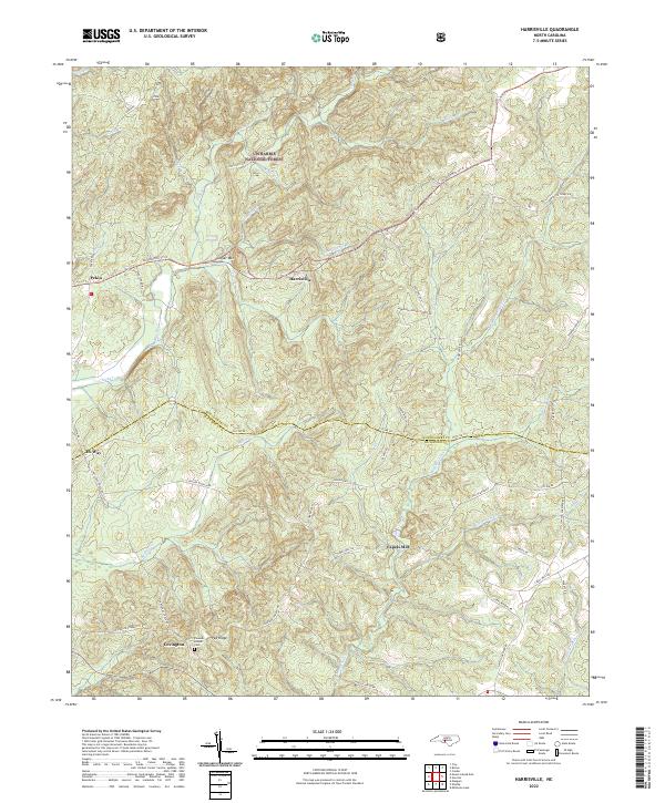 2022 Harrisville2022 Print · USGSNorth Carolina's southern piedmont is captured here in the early twenty-first century, showing the rural communities along the Montgomery and Richmond county line. Researchers can trace family history at the Parsons Howell Cem or locate old sites like Capels Mill and Pekin.
 - 2022 Map of Morven East, 2022 Print
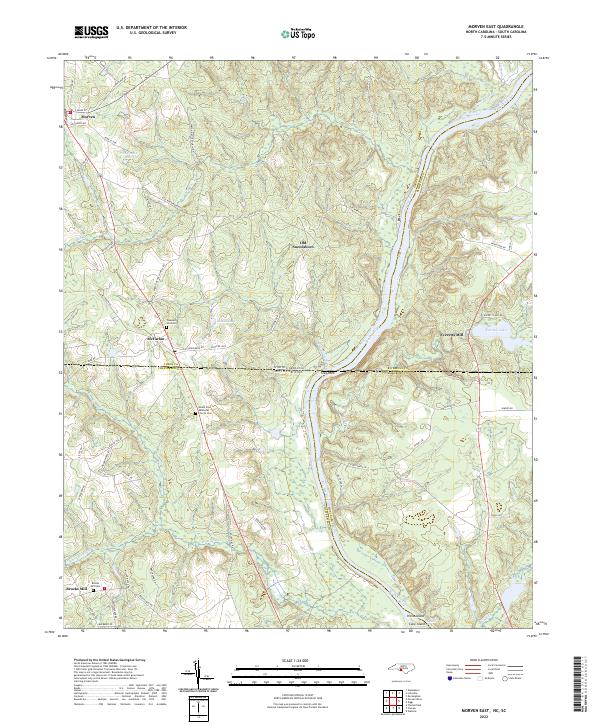 2022 Morven East2022 Print · USGSThe North and South Carolina borderlands come alive in this survey of the Pee Dee River corridor. Researchers can trace the heritage of old river settlements like Old Sneedsboro and find family-named landmarks such as Brocks Mill and Mount Zion Methodist Church Cem.
 - 2022 Map of Hamlet, 2022 Print
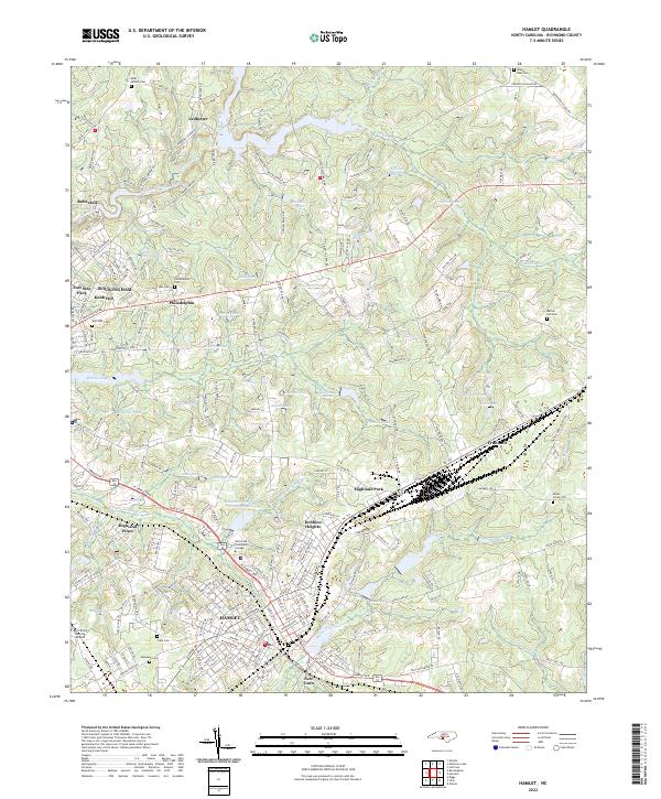 2022 Hamlet2022 Print · USGSHamlet and Rockingham are shown here as they appeared in the early 2020s, anchored by their deep railroad and milling heritage. Local researchers can trace family landmarks and transit routes near Hinson Lake, Dobbins Heights, and the historic Philadelphia Cem.
 - 2022 Map of Lilesville, 2022 Print
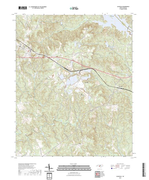 2022 Lilesville2022 Print · USGSAnson County's river-and-rail landscape is documented here in the early 2020s, centered on the historic crossroads of Lilesville. Genealogists and local historians can trace family burial sites at Cedar Creek Meeting House Cem and the Battle-Lindsey Cem.
 - 2022 Map of Rockingham, 2022 Print
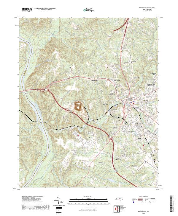 2022 Rockingham2022 Print · USGSRichmond County at the start of the 2020s shows a landscape shaped by its river-valley industry and expanding highway bypasses. Trace family roots and local development through detailed landmarks like Cordova, the Richmond County Airport, and Popular Springs Cem.
 - 2022 Map of Mangum, 2022 Print
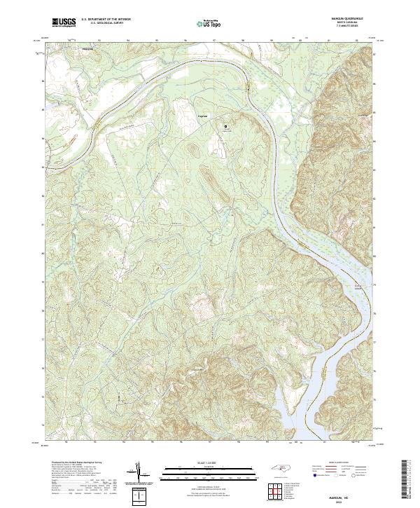 2022 Mangum2022 Print · USGSThe Pee Dee River corridor along the Anson and Richmond county line is documented here in the early 2020s. Researchers can locate the Joseph Ingram Cem and trace old river access points like Smith Ferry Rd near Mangum and Ingram.
 - 2022 Map of Ellerbe, 2022 Print
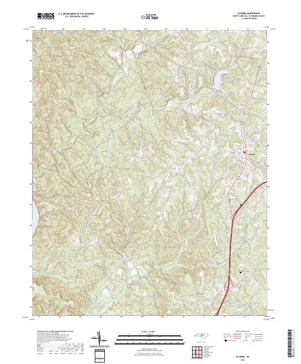 2022 Ellerbe2022 Print · USGSThe community of Ellerbe and the surrounding Richmond County countryside are shown here as they appeared in the early 2020s. Researchers can trace local landmarks like Haywood Cem, the heights of Pea Ridge, and the waters of Treeces Lake.
 - 2022 Map of Pinebluff, 2022 Print
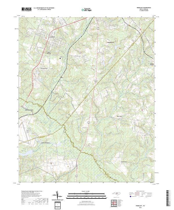 2022 Pinebluff2022 Print · USGSThe Sandhills region at the Moore and Richmond county line comes into focus in the early 2020s. Genealogists can locate family sites near Silver Springs Cem or trace the rural reach of Addor and McFarland along the banks of Drowning Cr.
 - 2022 Map of Ansonville, 2022 Print
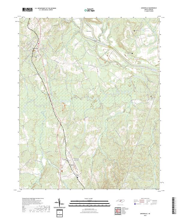 2022 Ansonville2022 Print · USGSThe rural landscape around Ansonville is mapped here in the early 2020s, showing a community defined by its proximity to the Pee Dee River. Researchers can locate several family and community landmarks, including Legrand Cem, Mount Pleasant Church, and the Anson County Airport.
 - 2022 Map of Mount Gilead West, 2022 Print
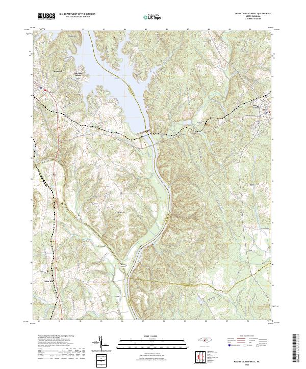 2022 Mount Gilead West2022 Print · USGSThe river borders of the North Carolina Piedmont come to life in this survey of the Stanly and Montgomery county lines. Genealogists and local historians can trace the rail corridor of the Winston-Salem Southbound RR or locate family sites near Fork Section and Norwood Cem.
End of results
Showing maps 1-19 of 19
Top cities of Richmond County
- Rockingham historical maps
- Hamlet historical maps
- Cordova historical maps
- Ellerbe historical maps
- Dobbins Heights historical maps
- Hoffman historical maps
See more
Frequently asked questions
- What are the different types of historical maps available for Richmond County?
- What is the oldest map of Richmond County?
- Where can I purchase historical maps of Richmond County for my home or office?
- Where can I download high-res historical maps of Richmond County?
- Are there historical topographic maps available for Richmond County?
- Is there historical aerial imagery available for Richmond County?
- Where are historical maps of Richmond County sourced from?