2000s (21st Century) Maps of Richmond County, North Carolina
Explore 100 historic maps of Richmond County from the 2000s (21st Century). These maps offer a rare glimpse into what life looked like during the 2000s — showing old roads, neighborhoods, homes, and landmarks that have changed or disappeared over time.
Whether you're researching your family's past, planning a metal detecting trip, or studying how Richmond County's landscape evolved across the 2000s, these high-resolution maps are a powerful tool for exploring the history of this region.
- Focus on a specific era: All maps on this page are from the 2000s, giving you a focused view of this time period.
- See what’s changed: Compare century-old streets, trails, and buildings to today's modern landscape using overlays and satellite layers.
- Research with precision: Use these maps for genealogy, historical research, land use analysis, or educational projects.
- View, download, or print: Maps are fully viewable online in high resolution, and can be downloaded or printed for your own records.
Start exploring Richmond County's history through authentic maps from the 2000s. This is your window into the past.
Richmond County, NC maps
(100)- 2002 Map of Hoffman
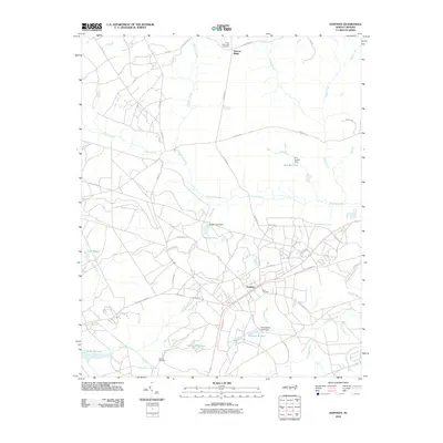
 2002 Hoffman2002 Print · USGSHoffman and the surrounding pine forests are captured here at the start of the millennium, showing a landscape defined by military training and wildlife conservation. Researchers can locate Watson Cem, rural churches like McNir Chapel, and the vast Camp Mackall Military Reservation.
 - 2002 Map of Mangum
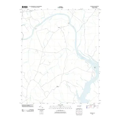
 2002 Mangum2002 Print · USGSThe Pee Dee River basin at the Anson and Richmond county line shows a landscape shaped by river transport and rural community life. Genealogists and local historians can trace family roots through numerous sites like Hebron Ch, Ingram Sch, and the historical Old Stanback Ferry.
 - 2002 Map of Hamlet
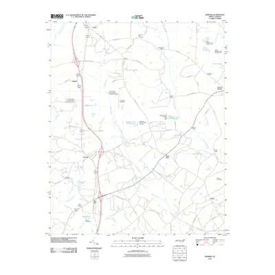
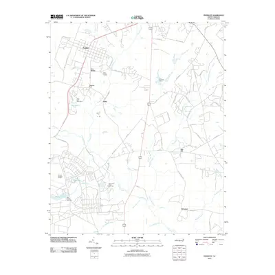
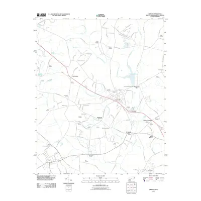
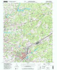 2002 Hamlet2002 Print · USGSHamlet and Rockingham are shown at a point of steady growth near the start of the millennium, with a landscape defined by rail lines and millponds. Researchers can trace family roots at Bear Branch Cemetery or locate historic rural landmarks like McDonald Church and Gibsons Millpond.
 - 2002 Map of Pinebluff
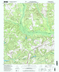
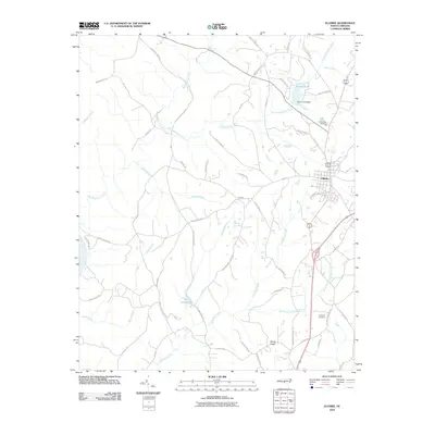
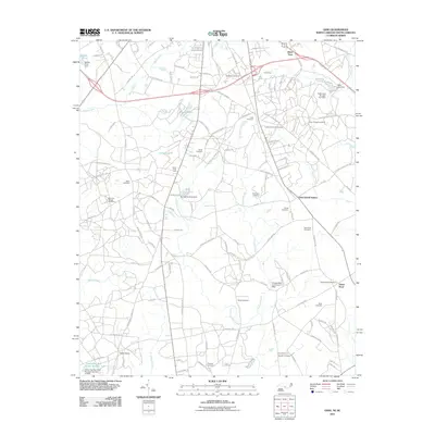
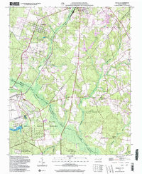 2002 Pinebluff2002 Print · USGSMoore County at the start of the millennium shows a fascinating mix of established town life and large-scale military landscapes. Researchers can trace local heritage at Poplar Springs Church, identify the rail-side Ice Loading Platform, or locate family sites near Silver Springs.
 - 2002 Map of Mount Gilead West, 2003 Print
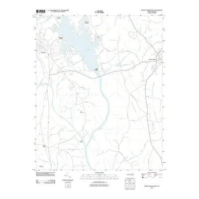
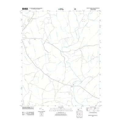
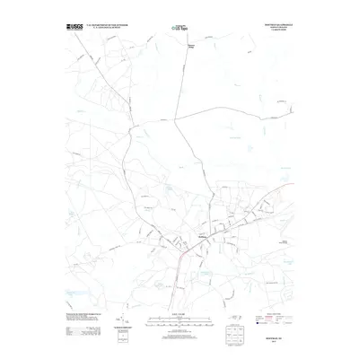
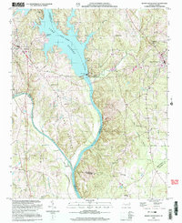 2002 Mount Gilead West2003 Print · USGSThe Pee Dee River corridor at the turn of the millennium shows a landscape defined by its hydroelectric infrastructure and rural crossroads. Local researchers can trace family landmarks and community centers such as Bethel Ch, Melton Grove, and St Lukes Ch across four adjoining counties.
 - 2010 Map of Lilesville, 2010 Print
 2010 Lilesville2010 Print · USGSCovers Richmond County, including Lilesville, Pee Dee, and other nearby areas
 - 2010 Map of Hamlet, 2010 Print
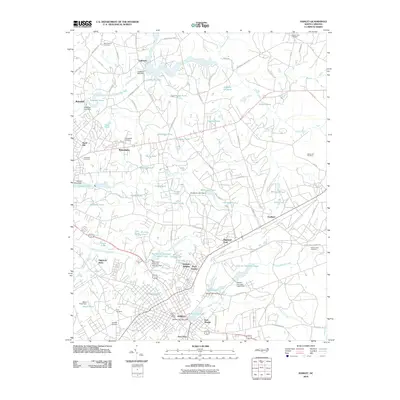 2010 Hamlet2010 Print · USGSCovers Richmond County, including Rockingham, Hamlet, and other nearby areas
 - 2010 Map of Marston, 2010 Print
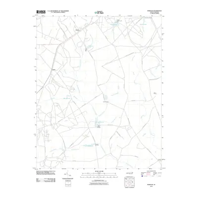 2010 Marston2010 Print · USGSCovers Richmond County, including Cognac, Marston, and other nearby areas
 - 2010 Map of Rockingham, 2010 Print
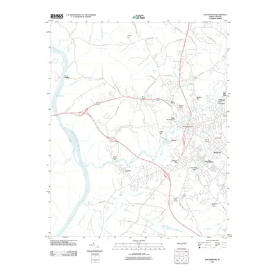 2010 Rockingham2010 Print · USGSCovers Richmond County, including Rockingham, East Rockingham, and other nearby areas
 - 2010 Map of Mount Gilead West, 2010 Print
 2010 Mount Gilead West2010 Print · USGSCovers Richmond County, including Norwood, Mount Gilead, and other nearby areas
 - 2010 Map of Ansonville, 2010 Print
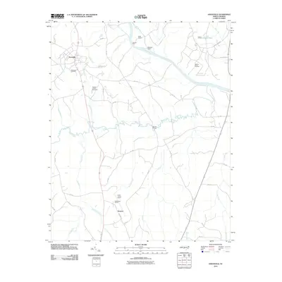 2010 Ansonville2010 Print · USGSCovers Richmond County, including Ansonville, Pinkston, and other nearby areas
 - 2010 Map of Millstone Lake, 2010 Print
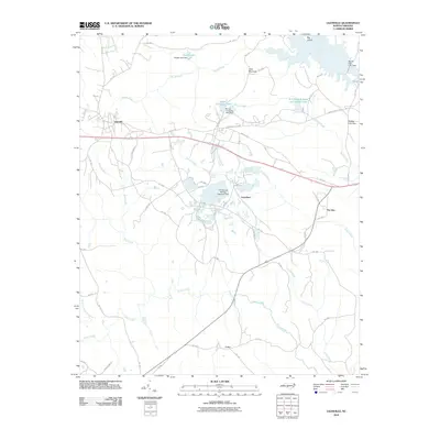
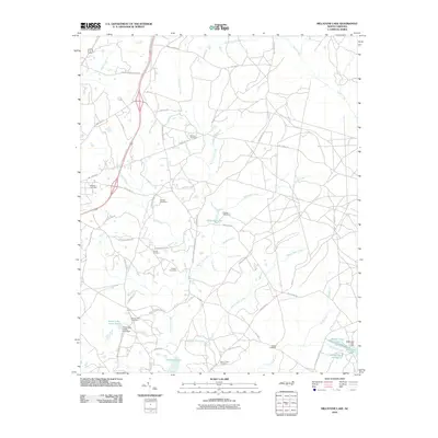 2010 Millstone Lake2010 Print · USGSCovers Richmond County, including Ellerbe, United States, and other nearby areas
 - 2010 Map of West End, 2010 Print
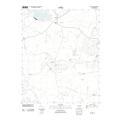 2010 West End2010 Print · USGSCovers Richmond County, including Pinehurst, Seven Lakes, and other nearby areas
 - 2010 Map of Hoffman, 2010 Print
 2010 Hoffman2010 Print · USGSCovers Richmond County, including Hoffman, Narrow Ridge, and other nearby areas
 - 2010 Map of Mangum, 2010 Print
 2010 Mangum2010 Print · USGSCovers Richmond County, including Ingram, Mangum, and other nearby areas
 - 2010 Map of Norman, 2010 Print
 2010 Norman2010 Print · USGSCovers Richmond County, including Norman, Jackson Springs, and other nearby areas
 - 2010 Map of Ellerbe, 2010 Print
 2010 Ellerbe2010 Print · USGSCovers Richmond County, including Ellerbe, United States, and other nearby areas
 - 2010 Map of Pinebluff, 2010 Print
 2010 Pinebluff2010 Print · USGSCovers Richmond County, including Aberdeen, Pinebluff, and other nearby areas
 - 2011 Map of Mount Gilead East, 2011 Print
 2011 Mount Gilead East2011 Print · USGSCovers Richmond County, including Mount Gilead, Montgomery County, and other nearby areas
 - 2011 Map of Harrisville, 2011 Print
 2011 Harrisville2011 Print · USGSCovers Richmond County, including Ex-Way, Capels Mill, and other nearby areas
 - 2011 Map of Morven East, 2011 Print
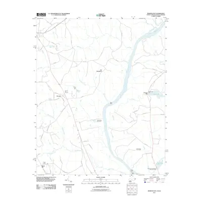 2011 Morven East2011 Print · USGSCovers Richmond County, including Morven, McFarlan, and other nearby areas
 - 2011 Map of Gibson, 2011 Print
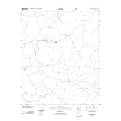
 2011 Gibson2011 Print · USGSCovers Richmond County, including Laurinburg, Laurel Hill, and other nearby areas
 - 2011 Map of Ghio, 2011 Print
 2011 Ghio2011 Print · USGSCovers Richmond County, including Hamlet, Ghio Scholl Station, and other nearby areas
 - 2011 Map of Diggs, 2011 Print
 2011 Diggs2011 Print · USGSCovers Richmond County, including Fulton, Ellerbe Grove, and other nearby areas
 - 2013 Map of Hoffman, 2013 Print
 2013 Hoffman2013 Print · USGSCovers Richmond County, including Hoffman, Narrow Ridge, and other nearby areas
Showing maps 1-25 of 100
Top cities of Richmond County
- Rockingham historical maps
- Hamlet historical maps
- Cordova historical maps
- Ellerbe historical maps
- Dobbins Heights historical maps
- Hoffman historical maps
See more
Frequently asked questions
- What are the different types of historical maps available for Richmond County?
- What is the oldest map of Richmond County?
- Where can I purchase historical maps of Richmond County for my home or office?
- Where can I download high-res historical maps of Richmond County?
- Are there historical topographic maps available for Richmond County?
- Is there historical aerial imagery available for Richmond County?
- Where are historical maps of Richmond County sourced from?