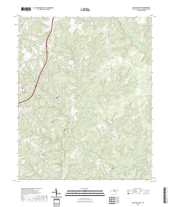
2022 Map of Millstone Lake
USGS Topo · Published 2022About this map
The town of Ellerbe serves as a western anchor for this Richmond County landscape, where the terrain is defined by a dense network of small tributaries feeding into Millstone Cr and Rocky Fork Creek. This modern survey reveals a region deeply rooted in family history, evidenced by a high concentration of small burial grounds including McLean Cem, Watson Cem, and Rourke's Cem that dot the countryside.
Find a feature on this map
67 named features on this map. Tap any name to fly to it.
Don’t see what you’re looking for? This feature index may not catch every label — zoom into the map to look around manually.
Map Details
Editions of this 2022 Millstone Lake Map
This is the sole edition of this map. No revisions or reprints were ever made.
Other maps of this area

1942 · Troy
USGS Topo · 1:125,000

1942 · Rockingham
USGS Topo · 1:125,000

1949 · Millstone Lake
USGS Topo · 1:24,000

1949 · West End
USGS Topo · 1:24,000

1949 · Hoffman
USGS Topo · 1:24,000

1949 · Marston
USGS Topo · 1:24,000

1949 · Hamlet
USGS Topo · 1:24,000

1949 · Hamlet
USGS Topo · 1:62,500

1949 · Jackson Springs
USGS Topo · 1:62,500

1950 · Norman
USGS Topo · 1:24,000