2020s Maps of Robeson County, North Carolina
Explore 30 historic maps of Robeson County from the 2020s. These maps offer a rare glimpse into what life looked like during the 2020s — showing old roads, neighborhoods, homes, and landmarks that have changed or disappeared over time.
Whether you're researching your family's past, planning a metal detecting trip, or studying how Robeson County's landscape evolved across the 2020s, these high-resolution maps are a powerful tool for exploring the history of this region.
- Focus on a specific era: All maps on this page are from the 2020s, giving you a focused view of this time period.
- See what’s changed: Compare century-old streets, trails, and buildings to today's modern landscape using overlays and satellite layers.
- Research with precision: Use these maps for genealogy, historical research, land use analysis, or educational projects.
- View, download, or print: Maps are fully viewable online in high resolution, and can be downloaded or printed for your own records.
Start exploring Robeson County's history through authentic maps from the 2020s. This is your window into the past.
Robeson County, NC maps
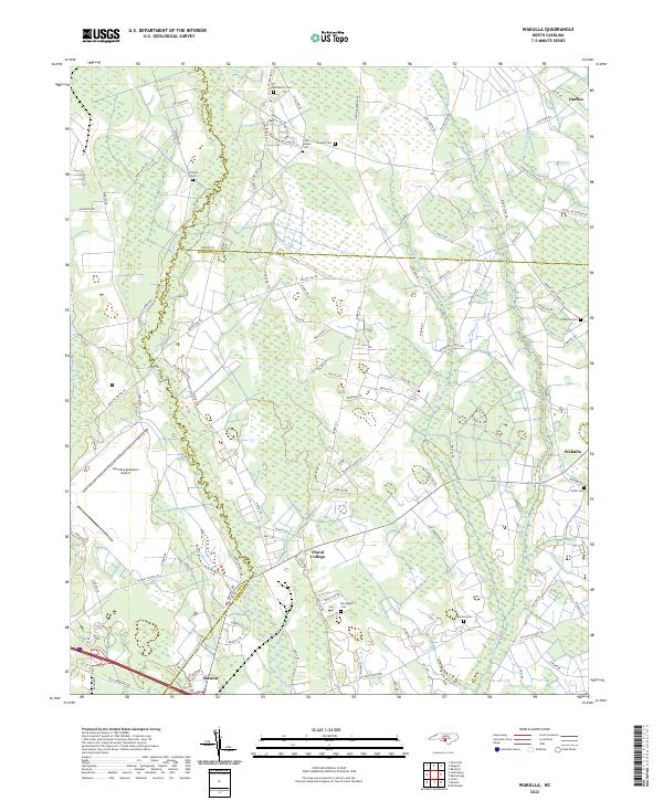
(30)- 2020 Map of Lake View, 2020 Print
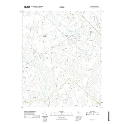 2020 Lake View2020 Print · USGSCovers Robeson County, including Lake View, Marietta, and other nearby areas
 - 2020 Map of Dillon East, 2020 Print
 2020 Dillon East2020 Print · USGSCovers Robeson County, including Dillon, Hamer, and other nearby areas
 - 2020 Map of Minturn, 2020 Print
 2020 Minturn2020 Print · USGSCovers Robeson County, including Minturn, Sinclair Crossroads, and other nearby areas
 - 2022 Map of Duart, 2022 Print
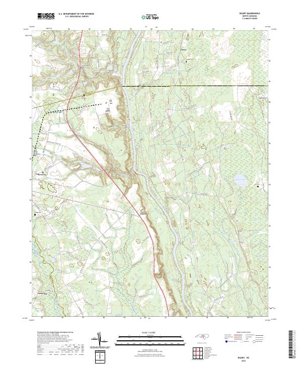 2022 Duart2022 Print · USGSCoastal plain wetlands and riverfront settlements define this North Carolina landscape in the early twenty-first century. Researchers can trace family history at Willis Creek Cem or locate rural hubs like Tobermory and Duart along the Cape Fear River.
 - 2022 Map of Bladenboro, 2022 Print
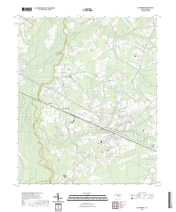 2022 Bladenboro2022 Print · USGSSoutheastern North Carolina's lowland landscape is on full display in this recent record of the Bladenboro area. Local historians can trace family ties at Pine Crest Cem and explore the rail-and-water economy at Bridger Millpond and along the Seaboard Coast Line.
 - 2022 Map of Chadbourn NE, 2022 Print
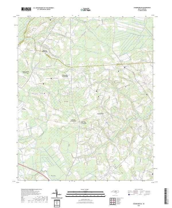 2022 Chadbourn NE2022 Print · USGSThe rural landscapes of Columbus and Bladen counties appear here in the early twenty-first century, featuring a unique network of bay depressions and crossroads settlements. Researchers can trace family sites like Lennons Crossroads and numerous family plots such as Ellis Cem and Callihan Cem.
 - 2022 Map of Rowland, 2022 Print
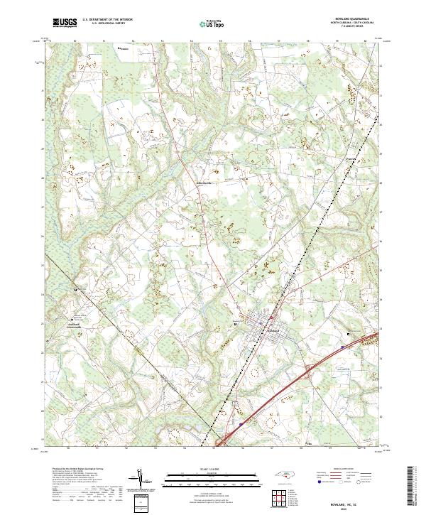 2022 Rowland2022 Print · USGSThe North Carolina-South Carolina border comes alive in this 2022 survey of the rural landscape near Rowland. Genealogists can trace local roots at Oakland United Methodist Church and family burial sites like Baker Cem or McCormick Cem.
 - 2022 Map of Fair Bluff, 2022 Print
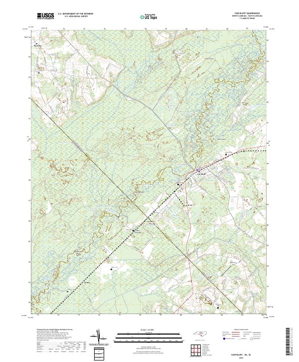 2022 Fair Bluff2022 Print · USGSThe Carolina borderlands along the Lumber River are documented here in detail as they appeared in the early 2020s. Researchers can trace family history through numerous local burial sites like Meares Cem and Powell Cem, or explore the unique geography of Barden Bay and Ashpole Swamp.
 - 2022 Map of Northeast Lumberton, 2022 Print
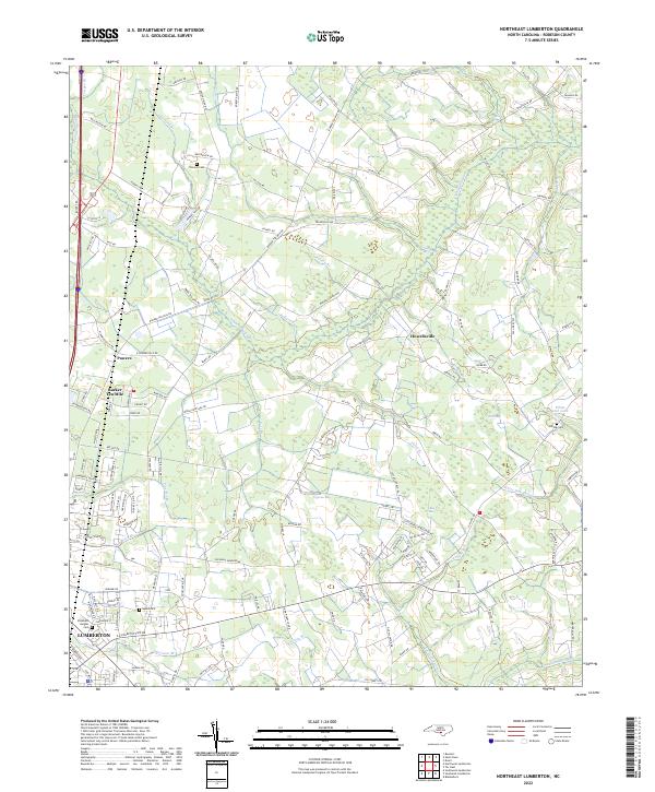 2022 Northeast Lumberton2022 Print · USGSThe northern reaches of Lumberton meet the wetlands of the Carolina coastal plain in this contemporary map. Researchers can trace rural family roots at Thomas Cem or Kinlaw Cem and explore the unique terrain of Big Bay and Cypress Bay.
 - 2022 Map of McDonald, 2022 Print
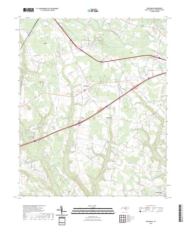 2022 McDonald2022 Print · USGSRobeson County is captured in the early 2020s, showing a landscape defined by its intricate drainage and rural settlements. Researchers can trace family-named lands and routes near McDonald, Elrod, and the meandering waters of Ashpole Swamp.
 - 2022 Map of Red Springs, 2022 Print
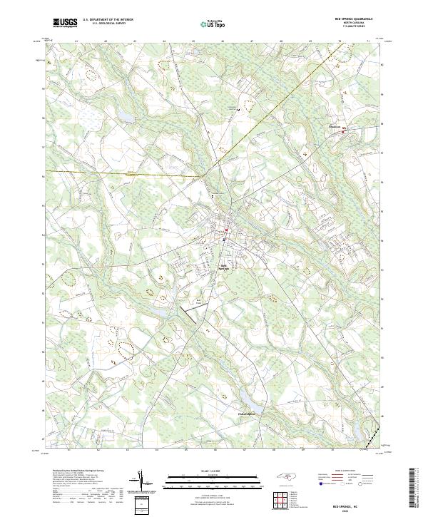 2022 Red Springs2022 Print · USGSRobeson County is shown here in the early 2020s, dominated by the intricate wetland networks of Little Raft Swamp and Bear Swamp. Researchers can trace the layout of Red Springs or locate rural landmarks like Alloway Cem and the settlement of Philadelphus.
 - 2022 Map of Rennert, 2022 Print
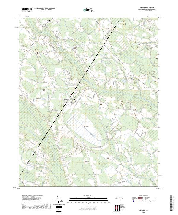 2022 Rennert2022 Print · USGSRobeson County in the early 2020s remains a landscape defined by its intricate wetlands and small rural settlements. Genealogists can trace family footprints through numerous local burial sites like Ausley Cem and McKinsey Cem or explore the uniquely named Great Desert.
 - 2022 Map of Maxton, 2022 Print
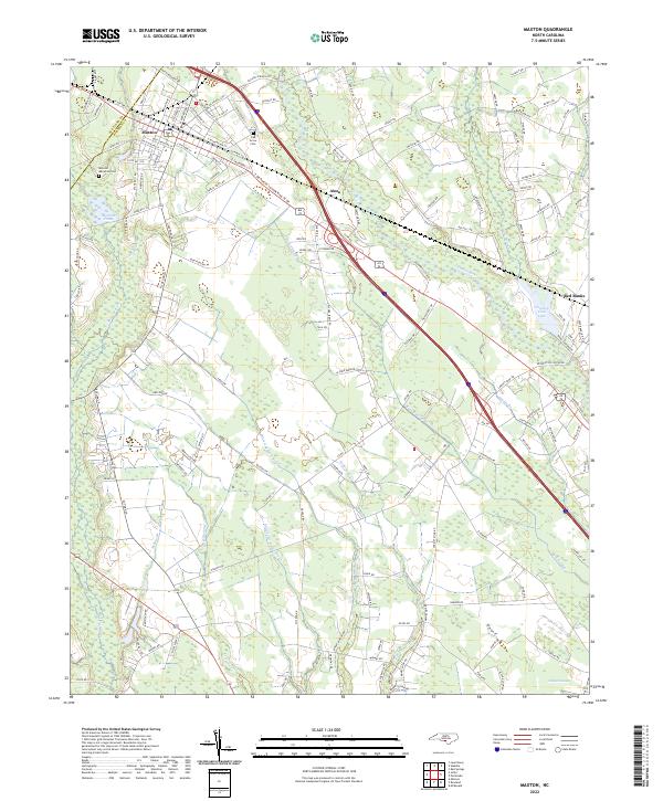 2022 Maxton2022 Print · USGSMaxton and the river lowlands of Robeson County are depicted here in contemporary detail. Researchers can trace family sites near Oak Grove Cem, navigate the winding course of the Lumber River, and locate rural settlements like Alma and Red Banks.
 - 2022 Map of Southeast Lumberton, 2022 Print
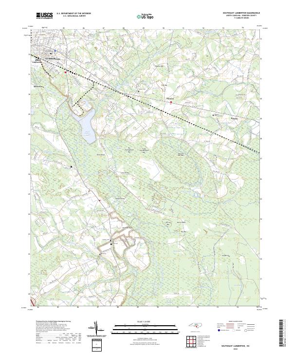 2022 Southeast Lumberton2022 Print · USGSCoastal plain wetlands and small communities define the area southeast of Lumberton in the early 2020s. Researchers can locate family landmarks like Wishart Cem and Britt Cem, or trace the winding course of the Lumber River and Jacob Swamp.
 - 2022 Map of Northwest Lumberton, 2022 Print
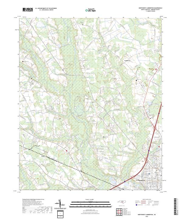 2022 Northwest Lumberton2022 Print · USGSRobeson County is shown here in the contemporary era as the northern reaches of Lumberton expand into the surrounding wetlands. Researchers can trace family history through sites like Maynor Cem, Lowry Cem, and the community at Saddletree.
 - 2022 Map of Raeford, 2022 Print
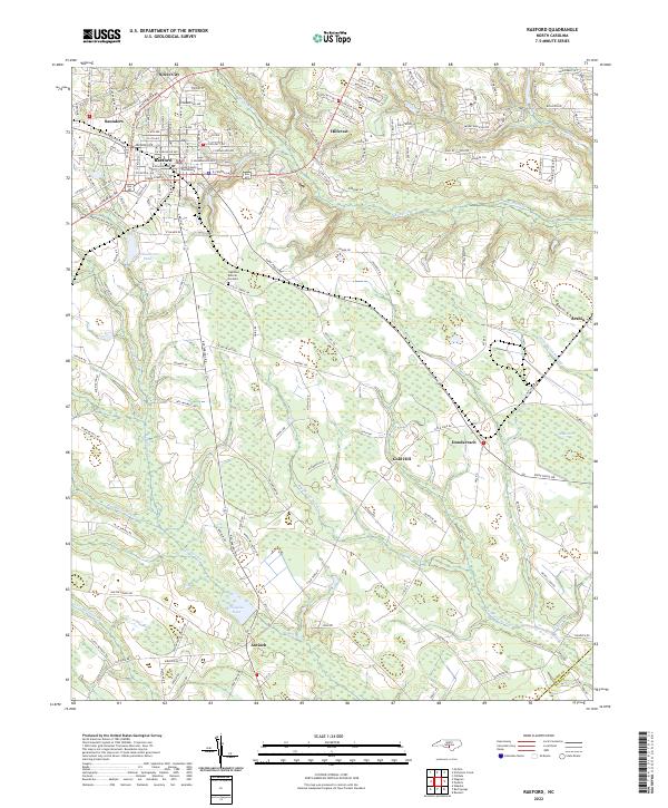 2022 Raeford2022 Print · USGSThe Hoke County area is shown here in its modern landscape, where the growth of Raeford meets the vast wetlands of the Carolina coastal plain. Researchers can locate the Hoke County Courthouse and trace rural family landmarks from Antioch to Dundarrach.
 - 2022 Map of Saint Pauls, 2022 Print
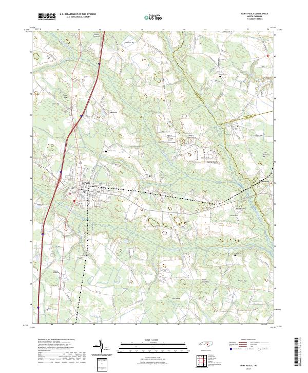 2022 Saint Pauls2022 Print · USGSRobeson County settlement and its surrounding wetlands come into focus in this recent survey. Researchers can trace family history at McKinnon Cem or Powers Cem and explore local aviation landmarks like Tailwinds Airport and Southern Comforts Aerodrome.
 - 2022 Map of Tar Heel, 2022 Print
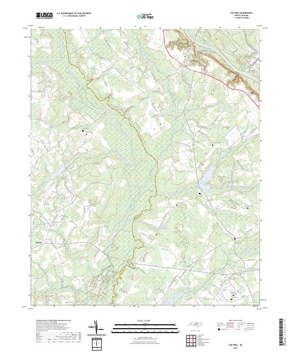 2022 Tar Heel2022 Print · USGSThe borderlands of Bladen and Robeson Counties are shown here in the early 2020s, dominated by the intricate wetland systems of the Cape Fear valley. Genealogists can trace family heritage through numerous rural burial sites like Old Pait Cem and Burney Cem, or locate landmarks like Hester Millpond.
 - 2022 Map of Gaddysville, 2022 Print
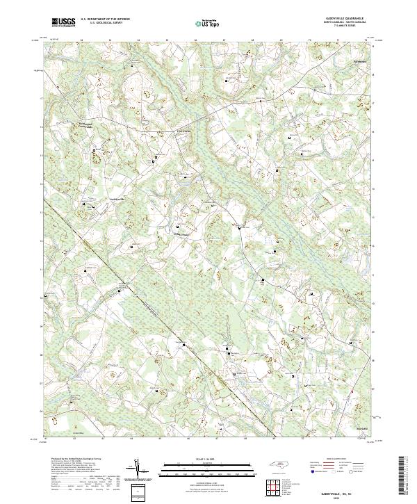 2022 Gaddysville2022 Print · USGSThe Robeson County borderlands and the community of Gaddysville are captured here as they appeared in the early 2020s. Genealogists and local historians can trace family roots through numerous burial sites like Mount Zion Baptist Church Cem and historic water landmarks such as Gaddys Millpond.
 - 2022 Map of Southwest Lumberton, 2022 Print
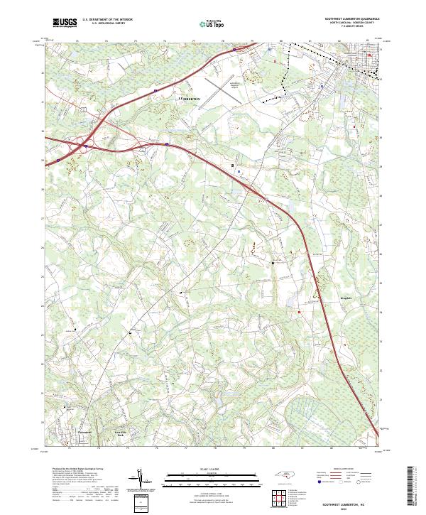 2022 Southwest Lumberton2022 Print · USGSRobeson County in the early 2020s shows a landscape where the Lumber River lowlands meet the developed outskirts of Lumberton. Genealogists and local historians can trace family locations near Davis Cem, Jenkins Cem, and the Robeson County Courthouse.
 - 2022 Map of Pembroke, 2022 Print
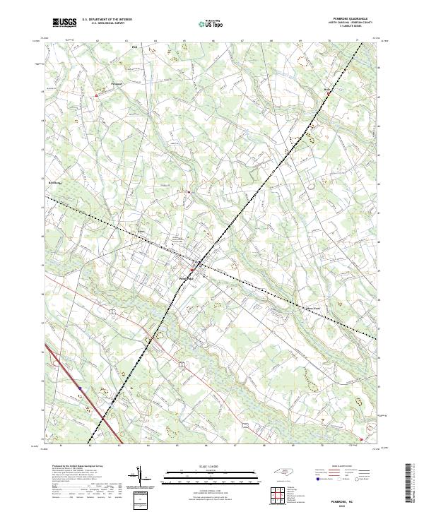 2022 Pembroke2022 Print · USGSCoastal plain settlements and university life define the Pembroke area in the early 2020s. Researchers can trace the winding Lumber River and locate regional landmarks like the University of North Carolina at Pembroke and the Moss Neck community.
 - 2022 Map of Fairmont, 2022 Print
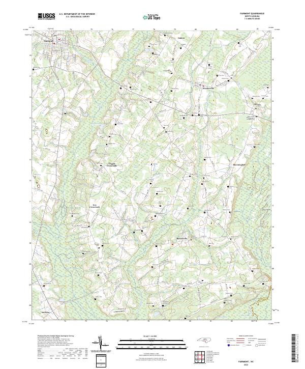 2022 Fairmont2022 Print · USGSRobeson County in the early twenty-first century remains a landscape of deep-rooted family settlements and complex wetland systems. Genealogists can trace family names across dozens of sites like Bullock Cem, Pitman-Barnes Cem, and the rural junction of Leggett Crossroads.
 - 2022 Map of Evergreen, 2022 Print
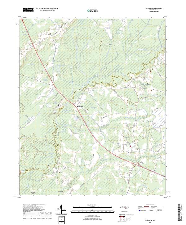 2022 Evergreen2022 Print · USGSThe lowlands of Columbus and Robeson counties are captured here in the early 2020s, showing a landscape defined by the Lumber River and its swamps. Local historians can trace family ties at Ward Cem or Britt Cem and locate homes near Boardman and Evergreen.
 - 2022 Map of Wakulla, 2022 Print
 2022 Wakulla2022 Print · USGSRobeson and Scotland counties are surveyed here in the early 2020s, showing a rural landscape defined by the winding Lumber River. Genealogists and local historians can trace family burial sites like McPhatter Cem and Smith Cem near the historic grounds of Floral College.
 - 2022 Map of Johns, 2022 Print
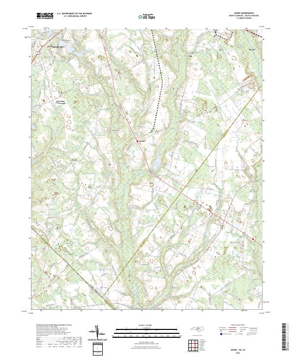 2022 Johns2022 Print · USGSThe North Carolina and South Carolina borderlands come into focus in this contemporary study of the Laurinburg and Johns area. Researchers can trace local heritage at Stewartsville Cem and explore community landmarks like Saint Andrews University and Johns Pond.
Showing maps 1-25 of 30
Top cities of Robeson County
- Lumberton historical maps
- Fairmont historical maps
- Pembroke historical maps
- Maxton historical maps
- Rowland historical maps
- Parkton historical maps
See more
Frequently asked questions
- What are the different types of historical maps available for Robeson County?
- What is the oldest map of Robeson County?
- Where can I purchase historical maps of Robeson County for my home or office?
- Where can I download high-res historical maps of Robeson County?
- Are there historical topographic maps available for Robeson County?
- Is there historical aerial imagery available for Robeson County?
- Where are historical maps of Robeson County sourced from?