2000s (21st Century) Maps of Fairmont, North Carolina
Explore 20 historic maps of Fairmont from the 2000s (21st Century). These maps offer a rare glimpse into what life looked like during the 2000s — showing old roads, neighborhoods, homes, and landmarks that have changed or disappeared over time.
Whether you're researching your family's past, planning a metal detecting trip, or studying how Fairmont's landscape evolved across the 2000s, these high-resolution maps are a powerful tool for exploring the history of this region.
- Focus on a specific era: All maps on this page are from the 2000s, giving you a focused view of this time period.
- See what’s changed: Compare century-old streets, trails, and buildings to today's modern landscape using overlays and satellite layers.
- Research with precision: Use these maps for genealogy, historical research, land use analysis, or educational projects.
- View, download, or print: Maps are fully viewable online in high resolution, and can be downloaded or printed for your own records.
Start exploring Fairmont's history through authentic maps from the 2000s. This is your window into the past.
Fairmont, NC maps
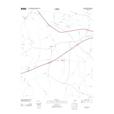
(20)- 2010 Map of Fairmont, 2010 Print
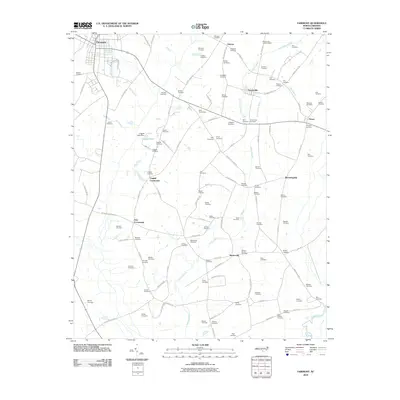 2010 Fairmont2010 Print · USGSCovers Fairmont, including Marietta, Proctorville, and other nearby areas
 - 2010 Map of McDonald, 2010 Print
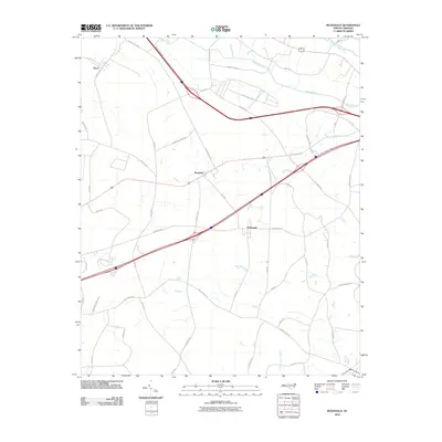 2010 McDonald2010 Print · USGSCovers Fairmont, including McDonald, Raynham, and other nearby areas
 - 2010 Map of Southwest Lumberton, 2010 Print
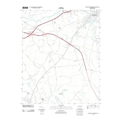 2010 Southwest Lumberton2010 Print · USGSCovers Fairmont, including Lumberton, East Side Park, and other nearby areas
 - 2011 Map of Gaddysville, 2011 Print
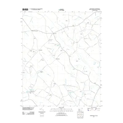 2011 Gaddysville2011 Print · USGSCovers Fairmont, including Marietta, Gaddysville, and other nearby areas
 - 2013 Map of Fairmont, 2013 Print
 2013 Fairmont2013 Print · USGSCovers Fairmont, including Marietta, Proctorville, and other nearby areas
 - 2013 Map of Gaddysville, 2013 Print
 2013 Gaddysville2013 Print · USGSCovers Fairmont, including Marietta, Gaddysville, and other nearby areas
 - 2013 Map of McDonald, 2013 Print
 2013 McDonald2013 Print · USGSCovers Fairmont, including McDonald, Raynham, and other nearby areas
 - 2013 Map of Southwest Lumberton, 2013 Print
 2013 Southwest Lumberton2013 Print · USGSCovers Fairmont, including Lumberton, East Side Park, and other nearby areas
 - 2016 Map of McDonald, 2016 Print
 2016 McDonald2016 Print · USGSCovers Fairmont, including McDonald, Raynham, and other nearby areas
 - 2016 Map of Southwest Lumberton, 2016 Print
 2016 Southwest Lumberton2016 Print · USGSCovers Fairmont, including Lumberton, East Side Park, and other nearby areas
 - 2016 Map of Gaddysville, 2016 Print
 2016 Gaddysville2016 Print · USGSCovers Fairmont, including Marietta, Gaddysville, and other nearby areas
 - 2016 Map of Fairmont, 2016 Print
 2016 Fairmont2016 Print · USGSCovers Fairmont, including Marietta, Proctorville, and other nearby areas
 - 2019 Map of Southwest Lumberton, 2019 Print
 2019 Southwest Lumberton2019 Print · USGSCovers Fairmont, including Lumberton, East Side Park, and other nearby areas
 - 2019 Map of Gaddysville, 2019 Print
 2019 Gaddysville2019 Print · USGSCovers Fairmont, including Marietta, Gaddysville, and other nearby areas
 - 2019 Map of McDonald, 2019 Print
 2019 McDonald2019 Print · USGSCovers Fairmont, including McDonald, Raynham, and other nearby areas
 - 2019 Map of Fairmont, 2019 Print
 2019 Fairmont2019 Print · USGSCovers Fairmont, including Marietta, Proctorville, and other nearby areas
 - 2022 Map of McDonald, 2022 Print
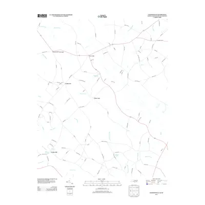
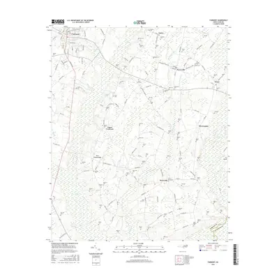
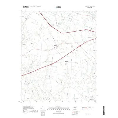
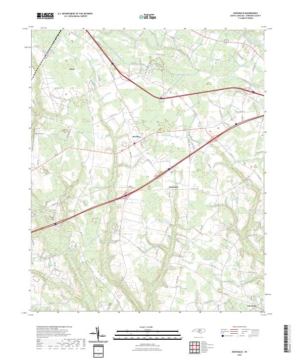 2022 McDonald2022 Print · USGSRobeson County is captured in the early 2020s, showing a landscape defined by its intricate drainage and rural settlements. Researchers can trace family-named lands and routes near McDonald, Elrod, and the meandering waters of Ashpole Swamp.
 - 2022 Map of Gaddysville, 2022 Print
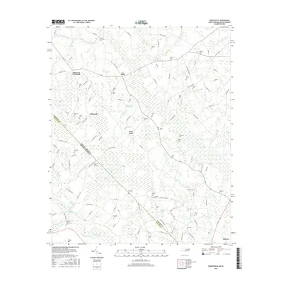
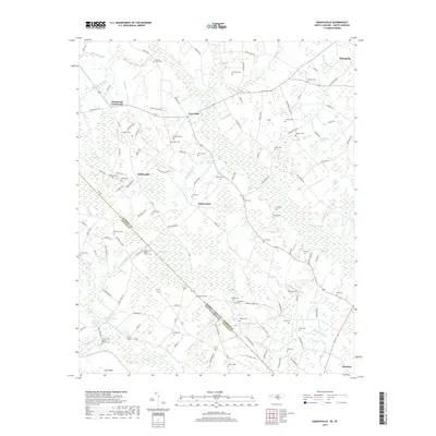
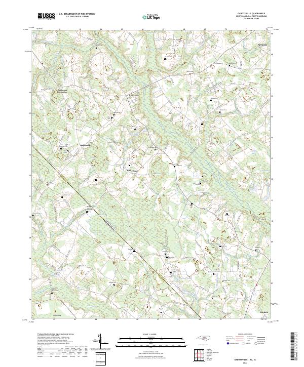 2022 Gaddysville2022 Print · USGSThe Robeson County borderlands and the community of Gaddysville are captured here as they appeared in the early 2020s. Genealogists and local historians can trace family roots through numerous burial sites like Mount Zion Baptist Church Cem and historic water landmarks such as Gaddys Millpond.
 - 2022 Map of Southwest Lumberton, 2022 Print
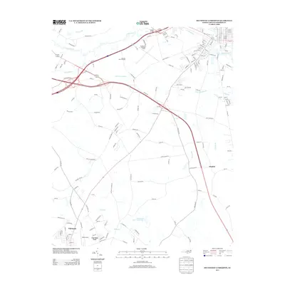
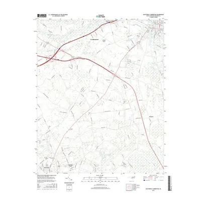
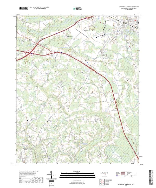 2022 Southwest Lumberton2022 Print · USGSRobeson County in the early 2020s shows a landscape where the Lumber River lowlands meet the developed outskirts of Lumberton. Genealogists and local historians can trace family locations near Davis Cem, Jenkins Cem, and the Robeson County Courthouse.
 - 2022 Map of Fairmont, 2022 Print
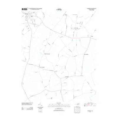
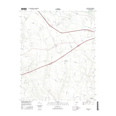
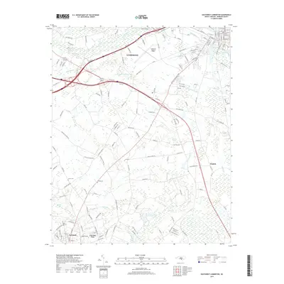
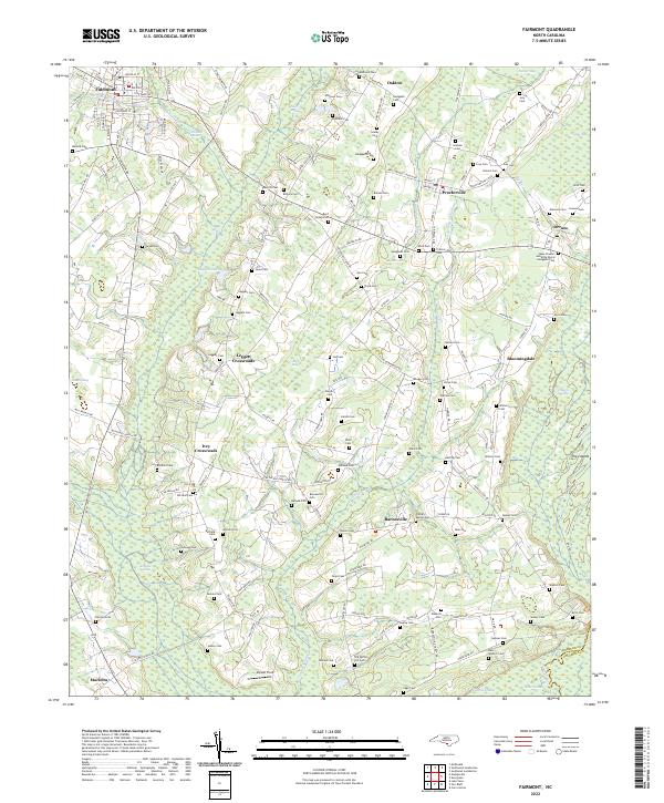 2022 Fairmont2022 Print · USGSRobeson County in the early twenty-first century remains a landscape of deep-rooted family settlements and complex wetland systems. Genealogists can trace family names across dozens of sites like Bullock Cem, Pitman-Barnes Cem, and the rural junction of Leggett Crossroads.
End of results
Showing maps 1-20 of 20
Top cities near Fairmont
- Lumberton historical maps
- Pembroke historical maps
- Maxton historical maps
- Fair Bluff historical maps
- Rowland historical maps
- Hamer historical maps
See more
Frequently asked questions
- What are the different types of historical maps available for Fairmont?
- What is the oldest map of Fairmont?
- Where can I purchase historical maps of Fairmont for my home or office?
- Where can I download high-res historical maps of Fairmont?
- Are there historical topographic maps available for Fairmont?
- Is there historical aerial imagery available for Fairmont?
- Where are historical maps of Fairmont sourced from?