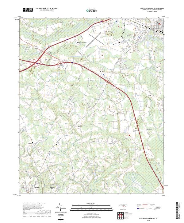
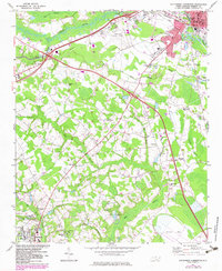
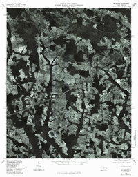
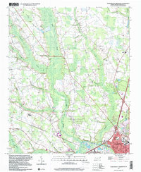
2022 Map of Southwest Lumberton
USGS Topo · Published 2022About this map
The Lumber River and its complex network of tributaries define the landscape southwest of Lumberton. This modern survey details the transition from the urban core of the county seat, anchored by the Robeson County Courthouse, to the agricultural and swampy lowlands of the Coastal Plain. The southern portion of the map centers on Fairmont and East Side Park, providing a clear look at local road networks like Deep Branch Rd and River Ridge Rd that connect isolated farmsteads.
Find a feature on this map
152 named features on this map. Tap any name to fly to it.
Don’t see what you’re looking for? This feature index may not catch every label — zoom into the map to look around manually.
Map Details
Editions of this 2022 Southwest Lumberton Map
This is the sole edition of this map. No revisions or reprints were ever made.
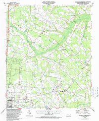
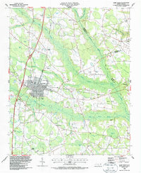
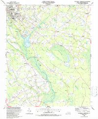
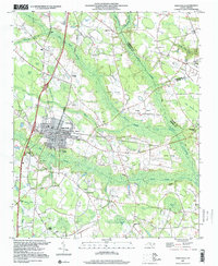
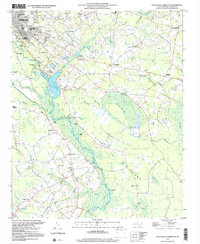
Historical Maps of Fairmont Through Time
23 maps found

1943 Pages Mill
Robeson County, NC
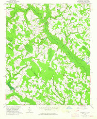
1962 Gaddysville
Robeson County, NC
1972 Mc Donald
Robeson County, NC
1972 Northwest Lumberton
Robeson County, NC
1972 Southwest Lumberton
Robeson County, NC
1976 Gaddysville
Robeson County, NC

1976 Mc Donald
Robeson County, NC
1976 Northwest Lumberton
Robeson County, NC
1976 Southwest Lumberton
Robeson County, NC
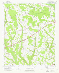
1981 Mc Donald
Robeson County, NC
1986 Northeast Lumberton
Robeson County, NC
1986 Saint Pauls
Robeson County, NC
1986 Southeast Lumberton
Robeson County, NC
1997 Northwest Lumberton
Robeson County, NC
1997 Saint Pauls
Robeson County, NC
1997 Southeast Lumberton
Robeson County, NC
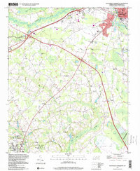
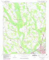
1997 Southwest Lumberton
Robeson County, NC
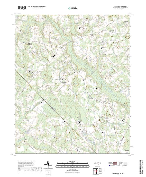
2022 Gaddysville
Robeson County, NC
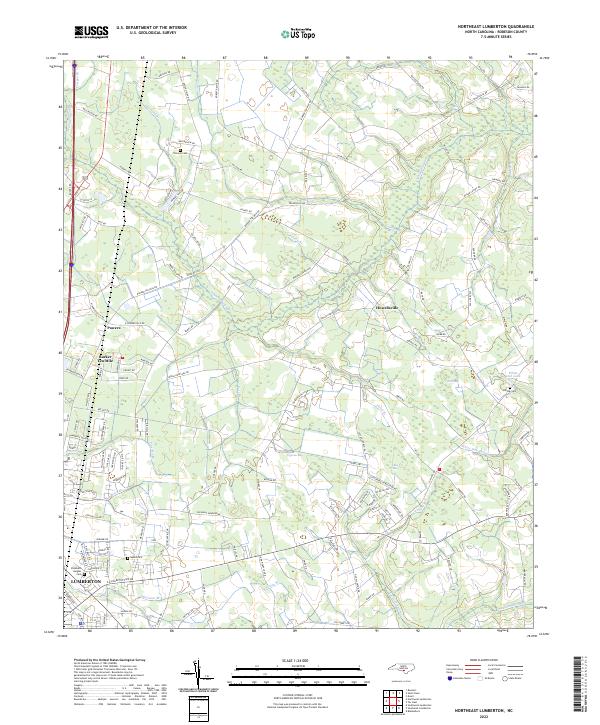
2022 Northeast Lumberton
Robeson County, NC
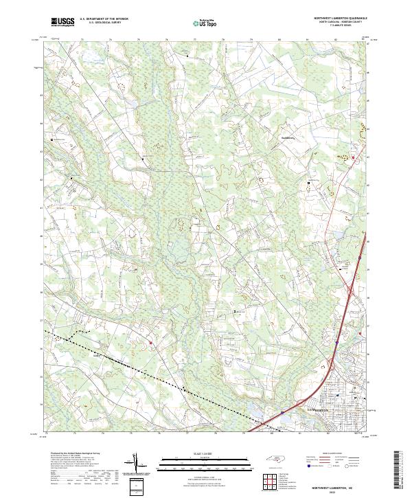
2022 Northwest Lumberton
Robeson County, NC
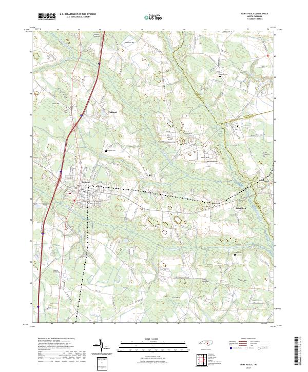
2022 Saint Pauls
Robeson County, NC
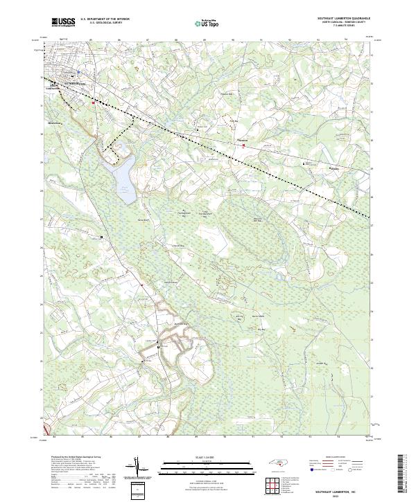
2022 Southeast Lumberton
Robeson County, NC
2022 Southwest Lumberton
Robeson County, NC