Old Maps of Purvis, North Carolina for Hiking & Exploration
Hike through history with 11 historic maps of Purvis. Explore old trails, ghost towns, and forgotten backroads — perfect for outdoor adventurers and local explorers.
- Rediscover forgotten places: Map out old mining camps, roads, and footpaths that no longer exist on modern maps.
- Layer with modern tools: Combine with LiDAR or satellite views to plan hikes through historical terrain.
- Made for exploration: Popular among hikers, overlanders, and local history lovers.
Use these maps to find adventure and explore the hidden past of Purvis.
Purvis, NC maps
(11)- 1953 Map of Florence, 1964 Print
 1953 Florence1964 Print · USGSThe Carolina borderlands in the mid-fifties were a landscape of vast river swamps and rising rail towns. Trace the legacy of the Seaboard Air Line through Florence or explore the wetlands surrounding Lake Waccamaw and the Green Swamp.3 unique versions available
 - 1954 Map of Florence
 1954 Florence1954 Print · USGSThe Carolinas borderlands come alive in the early fifties, showing the vital rail-and-river networks of the coastal plain. Genealogists can trace family footprints across the Green Swamp or through settlements like Red Springs, Chadbourn, and McColl.
 - 1972 Map of Rowland, 1976 Print
 1972 Rowland1976 Print · USGSThe North Carolina and South Carolina borderlands were a patchwork of tobacco fields and swampy timberlands in the early seventies. Genealogists can trace family footprints through numerous rural landmarks like Alfordsville, Salem Ch, and the Baker Cem.2 unique versions available
 - 1976 Map of Rowland, 1978 Print
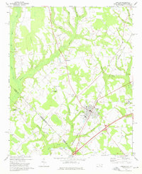
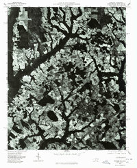 1976 Rowland1978 Print · USGSThe town of Rowland and the surrounding Robeson County farmland are seen from the air in the mid-1970s. Trace the rural landscape through Alfordsville, Purvis, and the junction at Oakland Crossroads.
 - 1983 Map of Laurinburg, 1984 Print
 1983 Laurinburg1984 Print · USGSThe Carolina borderlands come into focus in the early 1980s, showcasing a landscape defined by the Sandhills Game Land and major river systems. Genealogists and rail historians can trace the paths of the Seaboard Coast Line Railroad through Hamlet or locate St Andrews College and Cheraw State Park.2 unique versions available
 - 1997 Map of Rowland, 2000 Print
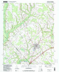 1997 Rowland2000 Print · USGSNear the North Carolina and South Carolina border in the late nineties, this area showcases the intersection of small-town grids and coastal plain swamps. Genealogists can locate family landmarks like Mt Pelier Ch, Southside Sch, and the Rowland Cem.
 - 2011 Map of Rowland, 2011 Print
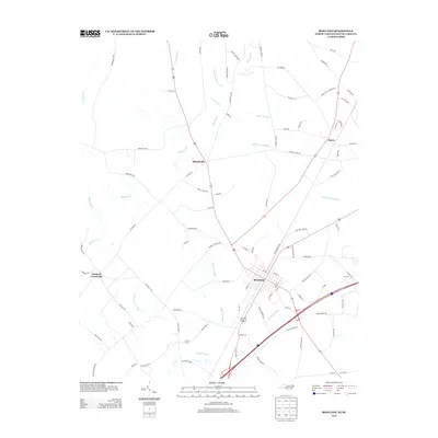
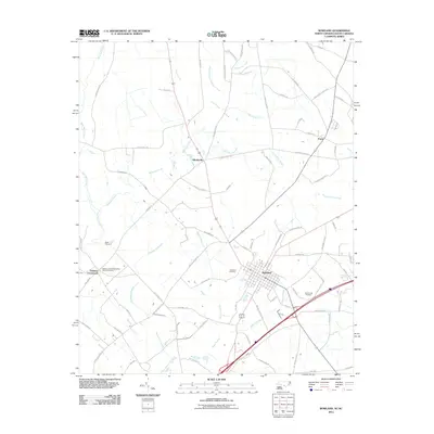 2011 Rowland2011 Print · USGSCovers Purvis, including Rowland, Oakland Crossroads, and other nearby areas
 - 2013 Map of Rowland, 2013 Print
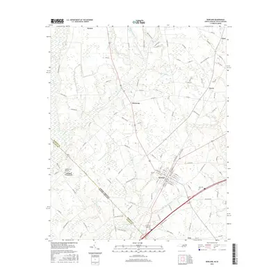
 2013 Rowland2013 Print · USGSCovers Purvis, including Rowland, Oakland Crossroads, and other nearby areas
 - 2016 Map of Rowland, 2016 Print
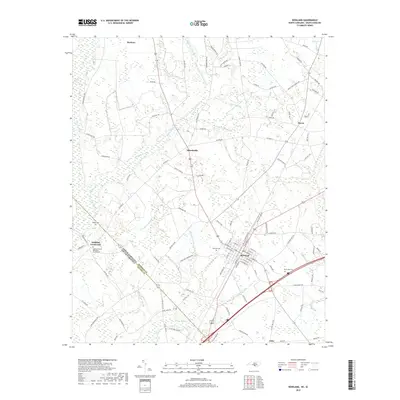
 2016 Rowland2016 Print · USGSCovers Purvis, including Rowland, Oakland Crossroads, and other nearby areas
 - 2019 Map of Rowland, 2019 Print
 2019 Rowland2019 Print · USGSCovers Purvis, including Rowland, Oakland Crossroads, and other nearby areas
 - 2022 Map of Rowland, 2022 Print
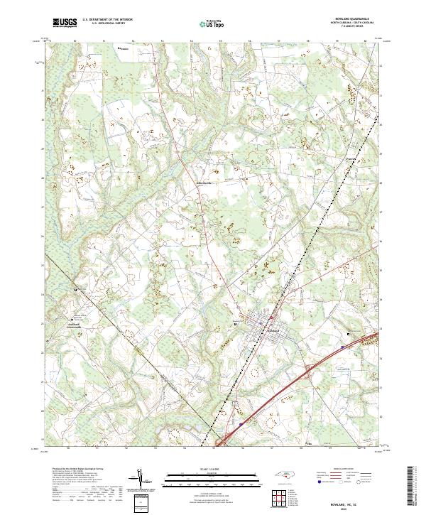 2022 Rowland2022 Print · USGSThe North Carolina-South Carolina border comes alive in this 2022 survey of the rural landscape near Rowland. Genealogists can trace local roots at Oakland United Methodist Church and family burial sites like Baker Cem or McCormick Cem.
End of results
Showing maps 1-11 of 11
Top cities near Purvis
- Lumberton historical maps
- Laurinburg historical maps
- Dillon historical maps
- Fairmont historical maps
- Pembroke historical maps
- Maxton historical maps
See more
Frequently asked questions
- What are the different types of historical maps available for Purvis?
- What is the oldest map of Purvis?
- Where can I purchase historical maps of Purvis for my home or office?
- Where can I download high-res historical maps of Purvis?
- Are there historical topographic maps available for Purvis?
- Is there historical aerial imagery available for Purvis?
- Where are historical maps of Purvis sourced from?