2000s (21st Century) Maps of Warren County, North Carolina
Explore 75 historic maps of Warren County from the 2000s (21st Century). These maps offer a rare glimpse into what life looked like during the 2000s — showing old roads, neighborhoods, homes, and landmarks that have changed or disappeared over time.
Whether you're researching your family's past, planning a metal detecting trip, or studying how Warren County's landscape evolved across the 2000s, these high-resolution maps are a powerful tool for exploring the history of this region.
- Focus on a specific era: All maps on this page are from the 2000s, giving you a focused view of this time period.
- See what’s changed: Compare century-old streets, trails, and buildings to today's modern landscape using overlays and satellite layers.
- Research with precision: Use these maps for genealogy, historical research, land use analysis, or educational projects.
- View, download, or print: Maps are fully viewable online in high resolution, and can be downloaded or printed for your own records.
Start exploring Warren County's history through authentic maps from the 2000s. This is your window into the past.
Warren County, NC maps
(75)- 2010 Map of Hollister, 2010 Print
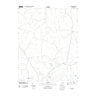 2010 Hollister2010 Print · USGSThe rural borderlands of Warren and Halifax counties are captured here at the start of the 2010s. Genealogists and local historians can trace family-named roads and rural communities like Old Bethlehem, Hollister, and the terrain near Medoc Mountain.
 - 2010 Map of Littleton, 2010 Print
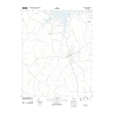 2010 Littleton2010 Print · USGSLittleton and its surrounding North Carolina countryside are captured here in the early twenty-first century as the landscape was being shaped by the fingers of Big Stone House Creek. Researchers can locate family landmarks like Sunset Hill Cemetery or trace lineage through roads such as Jessie Shearin Rd and Bill Skinner Rd.
 - 2010 Map of Inez, 2010 Print
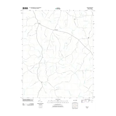 2010 Inez2010 Print · USGSWarren County’s rural crossroads and winding creek branches are captured here in the early twenty-first century. Genealogists and local historians can trace family-named landmarks and settlements like Liberia, Marmaduke, and the Lovely Hill Cemetery near Bobbitts Branch.
 - 2010 Map of Macon, 2010 Print
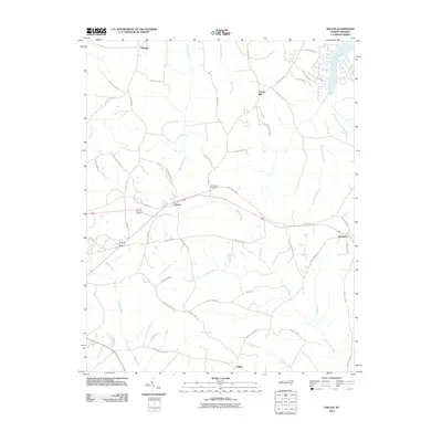 2010 Macon2010 Print · USGSWarren County at the start of the twenty-first century reveals a landscape of family-named roads and quiet crossroads communities. Genealogists and researchers can trace local connections through Greenwood Cemetery and settlements like Macon, Vaughan, and Embro.
 - 2010 Map of Vicksboro, 2010 Print
 2010 Vicksboro2010 Print · USGSVance County in the early twenty-first century reveals a landscape of quiet crossroads and historic water-powered industry. Genealogists and local historians can trace family-named landmarks like Adcock Crossroads and the grounds of Weldons Mill along Sandy Creek.
 - 2010 Map of Warrenton, 2010 Print
 2010 Warrenton2010 Print · USGSWarren County at the start of the 2010s shows a landscape where historic communities like Warrenton and Norlina remain tied to their rural roots. Genealogists can trace local legacies at the Old Warrenton Cemetery or explore the smaller settlements of Snow Hill and Oine.
 - 2010 Map of Middleburg, 2010 Print
 2010 Middleburg2010 Print · USGSVance County settlement and recreation come into focus at the start of the 2010s. Researchers can trace rural lineages at Ridgeway Cemetery, explore the planned community of Soul City, and see the developed shoreline of John H Kerr Reservoir.
 - 2010 Map of Centerville, 2010 Print
 2010 Centerville2010 Print · USGSCenterville and the surrounding Franklin County wetlands are captured here in the early twenty-first century. Researchers can trace the local road network and identify historical crossing points like Shocco Bridge, Arrington Bridge, and the community at Wood.
 - 2010 Map of Gold Sand, 2010 Print
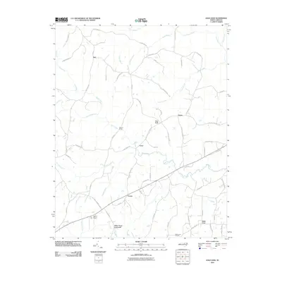 2010 Gold Sand2010 Print · USGSFranklin County's rural crossroads and family-held lands are preserved here in the first decade of the millennium. Researchers can trace local heritage through landmarks like Sukey Young Crossroads, White Level Airfield, and Persons Bridge.
 - 2010 Map of Gasburg, 2010 Print
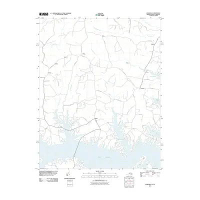 2010 Gasburg2010 Print · USGSThe Virginia and North Carolina borderlands are centered here around the intricate coves of Lake Gaston in the early twenty-first century. Genealogists and local historians can trace family sites at Prospect Cemetery, Clary Cemetery, and the settlement of Gasburg.
 - 2010 Map of Essex, 2010 Print
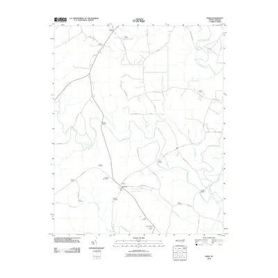 2010 Essex2010 Print · USGSThe rural landscape near the Halifax and Nash County line appears here in detail during the early twenty-first century. Genealogists and local historians can trace family land ties through numerous sites like Lynch Cemetery, Rossers Bridge, and the Aventon Post Office.
 - 2010 Map of Bracey, 2010 Print
 2010 Bracey2010 Print · USGSMecklenburg County and the Virginia-North Carolina border are captured here as the Roanoke River valley transitioned into a landscape defined by Lake Gaston. Trace local history through landmark sites like Bracey Station, Grace Cemetery, and the Goodes Ferry Bridge.
 - 2010 Map of South Hill SE, 2010 Print
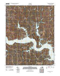 2010 South Hill SE2010 Print · USGSThe Roanoke River corridor in southern Virginia is captured here in the early twenty-first century, showing a landscape reshaped by the rising waters of Lake Gaston. Researchers can trace the modern shoreline and locate rural hubs like Joyceville, Five Forks, and Cedar Grove.
 - 2011 Map of Afton, 2011 Print
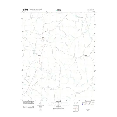 2011 Afton2011 Print · USGSWarren County at the start of the 2010s reveals a quiet landscape of agricultural roots and scattered crossroads settlements. Genealogists and local historians can trace the rural layout around Afton and Lickskillet, or locate family sites near Hammes Mill Pond and Lake Largo.
 - 2011 Map of John H Kerr Dam, 2011 Print
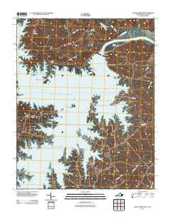 2011 John H Kerr Dam2011 Print · USGSThe Roanoke River basin is captured here in the early twenty-first century, centered on the massive engineering of the John H Kerr Dam. Researchers can trace local heritage at Shiloh Cemetery or explore the settlements of Rose Hill and Cusco Willa.
 - 2013 Map of Macon, 2013 Print
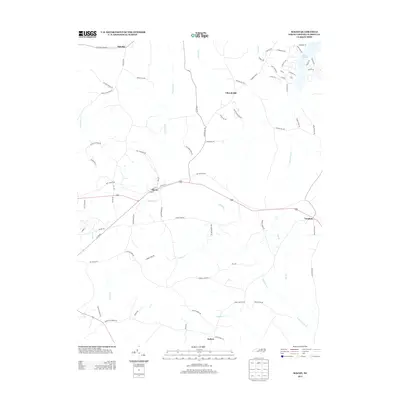 2013 Macon2013 Print · USGSWarren County at the start of the 2010s reveals a landscape of quiet rural crossroads and the southern waters of Lake Gaston. Researchers can trace the layout of small towns like Macon and Vaughan alongside family-named routes such as Pete Burrows Rd and Richard Greene Rd.
 - 2013 Map of Gold Sand, 2013 Print
 2013 Gold Sand2013 Print · USGSFranklin County at the start of the 2010s reveals a traditional Piedmont landscape of rural junctions and winding creek branches. Genealogists can trace family landmarks near Sukey Young Crossroads, Gold Sand, and the crossing at Persons Bridge.
 - 2013 Map of Inez, 2013 Print
 2013 Inez2013 Print · USGSWarren County’s rural crossroads and winding creek beds are meticulously documented in this early 2000s study. Researchers can trace the proximity of family lands near Liberia and Inez, or follow the banks of Fishing Cr and Buffalo Br.
 - 2013 Map of Afton, 2013 Print
 2013 Afton2013 Print · USGSWarren County at the start of the 2010s reveals a landscape of enduring rural settlements and intricate creek systems. Genealogists and local historians can trace family-named routes and small communities like Afton, Lickskillet, and the waters of Hammes Mill Pond.
 - 2013 Map of Littleton, 2013 Print
 2013 Littleton2013 Print · USGSNorth Carolina's northern borderlands meet the waters of the Roanoke in the early 2010s. Genealogists and local historians can trace family lines through Littleton and Cooleys Crossroads, or locate the specific springs at Panacea Springs.
 - 2013 Map of Hollister, 2013 Print
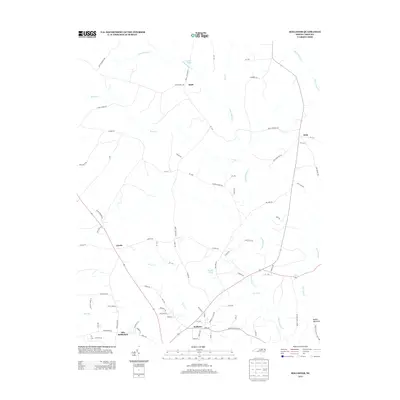 2013 Hollister2013 Print · USGSThe Hollister area and rural Warren County are mapped here in the early twenty-first century. Researchers can locate family landmarks and rural crossroads like Old Bethlehem, Arcola, and the unique terrain of Medoc Mountain.
 - 2013 Map of Middleburg, 2013 Print
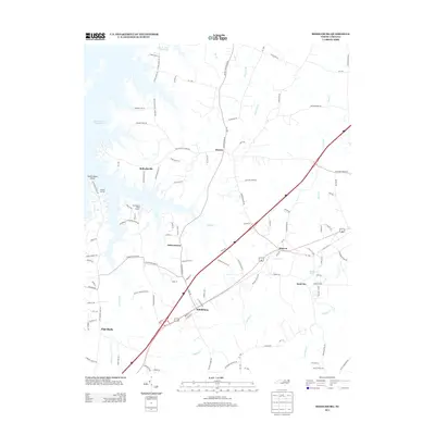 2013 Middleburg2013 Print · USGSVance County’s shoreline and rural crossroads are captured here during the early twenty-first century. Researchers can trace local communities from Middleburg and Manson to the unique development of Soul City and marinas along the John H. Kerr Reservoir.
 - 2013 Map of Vicksboro, 2013 Print
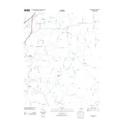 2013 Vicksboro2013 Print · USGSVance County’s rural character and long-held family crossroads are preserved in this 2013 study of the North Carolina countryside. Genealogists and local historians can trace the neighborhoods of Vicksboro, Brookston, and Gillburg, or locate historic sites like Weldons Mill.
 - 2013 Map of Centerville, 2013 Print
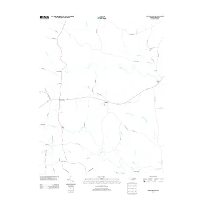 2013 Centerville2013 Print · USGSFranklin County's rural character and waterway network are meticulously detailed in this early twenty-first-century survey. Genealogists can trace family-named landmarks and routes like Bass Bridge, Red Bud Church Rd, and the settlement at Wood.
 - 2013 Map of Warrenton, 2013 Print
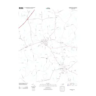 2013 Warrenton2013 Print · USGSWarren County in the early twenty-first century remains a landscape of historic railroad towns and rural crossroads connected by the CSX line. Genealogists and local historians can trace the street layouts of Warrenton and Norlina, or find family-named routes near Oine and Snow Hill.
Showing maps 1-25 of 75
Top cities of Warren County
Frequently asked questions
- What are the different types of historical maps available for Warren County?
- What is the oldest map of Warren County?
- Where can I purchase historical maps of Warren County for my home or office?
- Where can I download high-res historical maps of Warren County?
- Are there historical topographic maps available for Warren County?
- Is there historical aerial imagery available for Warren County?
- Where are historical maps of Warren County sourced from?