2010s Maps of Yancey County, North Carolina
Explore 48 historic maps of Yancey County from the 2010s. These maps offer a rare glimpse into what life looked like during the 2010s — showing old roads, neighborhoods, homes, and landmarks that have changed or disappeared over time.
Whether you're researching your family's past, planning a metal detecting trip, or studying how Yancey County's landscape evolved across the 2010s, these high-resolution maps are a powerful tool for exploring the history of this region.
- Focus on a specific era: All maps on this page are from the 2010s, giving you a focused view of this time period.
- See what’s changed: Compare century-old streets, trails, and buildings to today's modern landscape using overlays and satellite layers.
- Research with precision: Use these maps for genealogy, historical research, land use analysis, or educational projects.
- View, download, or print: Maps are fully viewable online in high resolution, and can be downloaded or printed for your own records.
Start exploring Yancey County's history through authentic maps from the 2010s. This is your window into the past.
Yancey County, NC maps
(48)- 2011 Map of Celo, 2011 Print
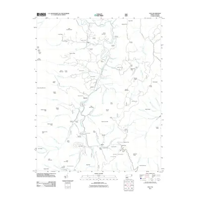 2011 Celo2011 Print · USGSThe South Toe River valley in Yancey County reveals a landscape of high peaks and secluded coves during the early 21st century. Genealogists can trace family heritage through a high concentration of burial sites like Grindstaff Cemetery and Patton Cemetery, or locate landmarks near the Blue Ridge Pky.
 - 2011 Map of Montreat, 2011 Print
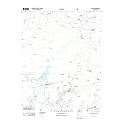 2011 Montreat2011 Print · USGSMontreat and the high ridges of the Black Mountains are captured here in the early twenty-first century. Genealogists and local historians can trace the road networks of Montreat and Walkertown or locate the North Fork Dam and the Jarrett Tunnel.
 - 2011 Map of Burnsville, 2011 Print
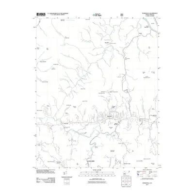 2011 Burnsville2011 Print · USGSBurnsville and the surrounding Yancey County peaks are captured here in the early twenty-first century as the region balanced rural character with institutional growth. Researchers can locate family landmarks like the Dellinger Cemetery, the old Ray Mine, and the Day Book Post Office.
 - 2011 Map of Micaville, 2011 Print
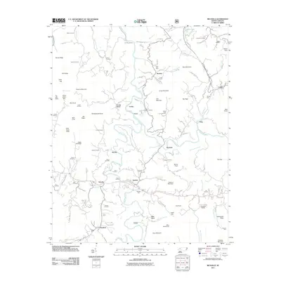 2011 Micaville2011 Print · USGSThe North Toe River valley is documented here in the early twenty-first century, showing the enduring mountain settlements and industrial sites of Mitchell County. Genealogists and researchers can locate numerous family burial grounds like Thomas Cemetery and trace the paths to Sink Hole Mine and Kona.
 - 2011 Map of Mount Mitchell, 2011 Print
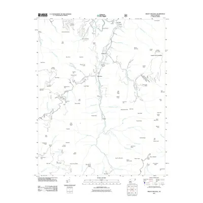 2011 Mount Mitchell2011 Print · USGSThe Black Mountains reached their modern peak in the early 2010s, centering on the heights of Mount Mitchell and Mount Craig. Genealogists can trace family heritage at the Arwood Cemetery, Penland Cemetery, or the settlement at Pensacola.
 - 2011 Map of Bald Creek, 2011 Print
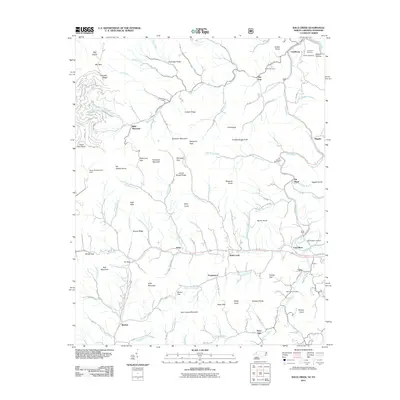 2011 Bald Creek2011 Print · USGSYancey County mountain life is captured here in the early twenty-first century, centered on the Cane River and its upland valleys. Researchers can locate many family-named landmarks including Fender Cemetery, the Mars Hill Reservoir Dam, and the crossroads at Bee Log.
 - 2011 Map of Barnardsville, 2011 Print
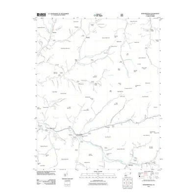 2011 Barnardsville2011 Print · USGSBarnardsville and the surrounding mountain valleys are captured here in the early twenty-first century, showing a landscape defined by deep family roots. Genealogists can trace decades of history through family landmarks like Maney Cove and Dillingham Cemetery, while recreationists find the Future Farmers of America Camp and Corner Rock Picnic Area.
 - 2011 Map of Sams Gap, 2011 Print
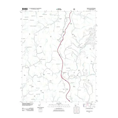 2011 Sams Gap2011 Print · USGSThe high ridges and deep coves of the Bald Mountains are captured here in the early twenty-first century, showing the enduring rural character of the state line. Researchers can locate remote burial grounds and churches like Arrington Cemetery, Coates Cemetery, and Ebb Chapel.
 - 2011 Map of Bakersville, 2011 Print
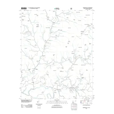 2011 Bakersville2011 Print · USGSThe Mitchell County highlands are captured here in the early twenty-first century, showing a network of small mountain communities and family farmsteads. Genealogists can locate dozens of burial sites like Slagle Cemetery and trace the paths through TollHouse Gap or Loafers Glory.
 - 2011 Map of Huntdale, 2011 Print
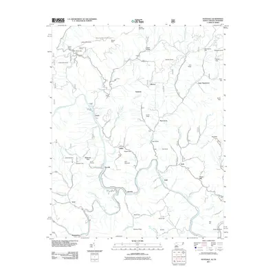 2011 Huntdale2011 Print · USGSThe North Carolina and Tennessee borderlands come alive in the early twenty-first century, centered on the dramatic junction of the Nolichucky River and North Toe River. Genealogists and hikers can trace specific landmarks such as Worrick Cemetery, Tipton Hill, and Indian Grave Trailhead.
 - 2011 Map of Old Fort, 2011 Print
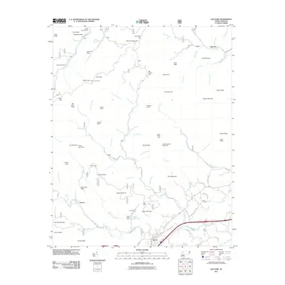 2011 Old Fort2011 Print · USGSThe foothills of the Blue Ridge come alive in this recent survey of the gateway to the mountains. Genealogists and historians can locate the Siloam Cemeteries and trace the legacy of the region's development near Old Fort, Andrews Geyser, and the Camp Grier Dam.
 - 2011 Map of Chestoa, 2011 Print
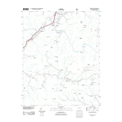 2011 Chestoa2011 Print · USGSUnicoi County, Tennessee, is mapped here as it appeared in the early 21st century, centered on the river-and-rail corridor. Researchers can trace the Nolichucky River through historic spots like Lost Cove and Unaka Springs or find landmarks like Love Station.
 - 2013 Map of Chestoa, 2013 Print
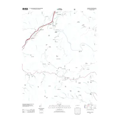 2013 Chestoa2013 Print · USGSUnicoi County mountain life and the Nolichucky River corridor are captured here during the early twenty-first century. Researchers can trace the layout of Chestoa, locate the heights of No Business Knob, and find remote spots like Lost Cove and Unaka Springs.
 - 2013 Map of Bakersville, 2013 Print
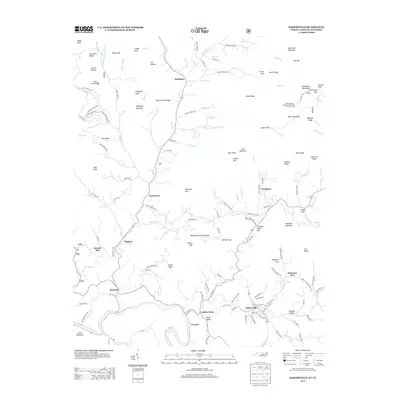 2013 Bakersville2013 Print · USGSBakersville and the winding Toe River valley are captured here in the early twenty-first century. Genealogists and historians can trace family-named lands and mountain gaps near Loafers Glory, McKinney Cove, and the Roan Mountain Gardens Picnic Area Forest Service.
 - 2013 Map of Huntdale, 2013 Print
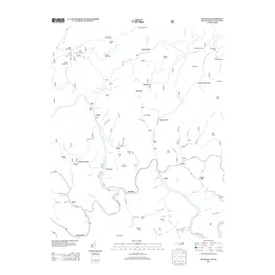 2013 Huntdale2013 Print · USGSThe North Carolina and Tennessee borderlands come alive in this map of the early twenty-first century. Genealogists and local historians can trace family-named sites and mountain communities like Huntdale, Tipton Hill, and Pigeonroost along the Nolichucky River.
 - 2013 Map of Celo, 2013 Print
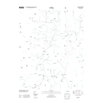 2013 Celo2013 Print · USGSThe S Toe River valley north of Busick is shown here in the early twenty-first century, surrounded by the high peaks of the Black Mountains. Genealogists and hikers can trace local landmarks like Celo, Crisawn Knob, and the Black Mountain Campground.
 - 2013 Map of Barnardsville, 2013 Print
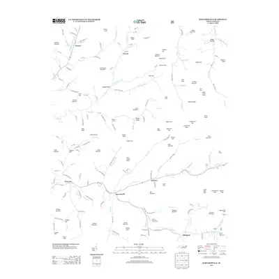 2013 Barnardsville2013 Print · USGSThe mountain valleys of Buncombe County are shown here in the early twenty-first century, structured by the waters of Ivy Cr. Genealogists and hikers can trace family-named landmarks like John Anders Ridge and locate the Future Farmers of America Camp.
 - 2013 Map of Mount Mitchell, 2013 Print
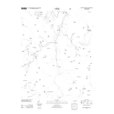 2013 Mount Mitchell2013 Print · USGSYancey County's high-elevation valleys and steep ridges are shown in high detail during the early 2010s. Researchers can trace rural life from the Cattail Creek Community to mountain settlements like Pensacola and landmarks such as Mountain Air Airport.
 - 2013 Map of Burnsville, 2013 Print
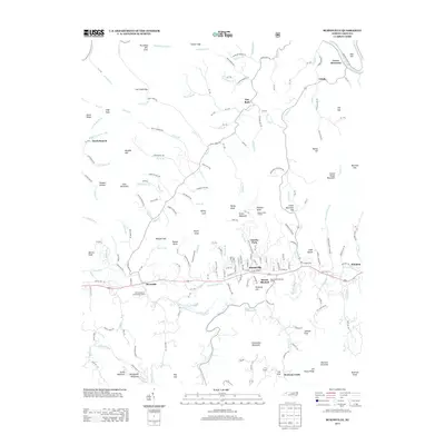 2013 Burnsville2013 Print · USGSBurnsville and the surrounding Yancey County ridges are captured here during the early twenty-first century. Researchers can trace family-named landmarks like McWilliams Branch and Anglin Knob or locate the North Carolina State Prison Camp and Day Book.
 - 2013 Map of Sams Gap, 2013 Print
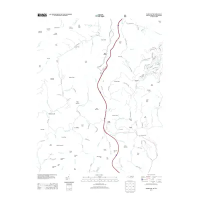 2013 Sams Gap2013 Print · USGSThe Tennessee-North Carolina border country comes into focus in this recent study of the high mountain passes and creek-side settlements. Genealogists and historians can trace family-named landmarks and old communities like English, Faust, and the Ebb Chapel grounds.
 - 2013 Map of Micaville, 2013 Print
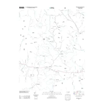 2013 Micaville2013 Print · USGSMitchell and Yancey County mountains are mapped here in the early twenty-first century, showing the enduring character of high-country settlements. Genealogists and hikers can trace connections between Micaville, the N Toe River, and landmarks like Thunderstruck Knob or Bandana.
 - 2013 Map of Montreat, 2013 Print
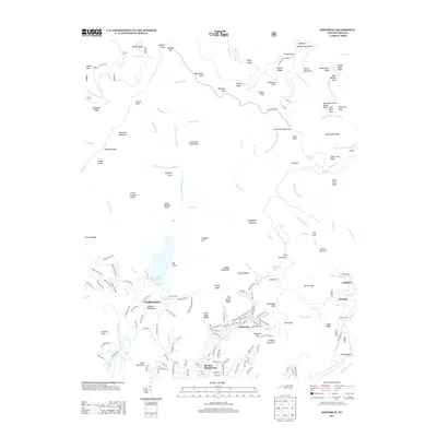 2013 Montreat2013 Print · USGSBlack Mountain and the surrounding high ridges appear in the early twenty-first century, just as the regional landscape balanced growth with conservation. Genealogists and historians can trace local settlements like Montreat, Walkertown, and Graphite alongside landmarks such as Lake Eden and Clingmans Peak.
 - 2013 Map of Bald Creek, 2013 Print
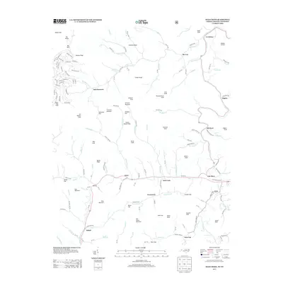 2013 Bald Creek2013 Print · USGSYancey County's high-country terrain and mountain valleys are documented here during the early 2010s. Genealogists and hikers can trace local routes through Bee Log and Swiss while locating landmarks like Possumtrot and the peaks of Bald Mountain.
 - 2013 Map of Old Fort, 2013 Print
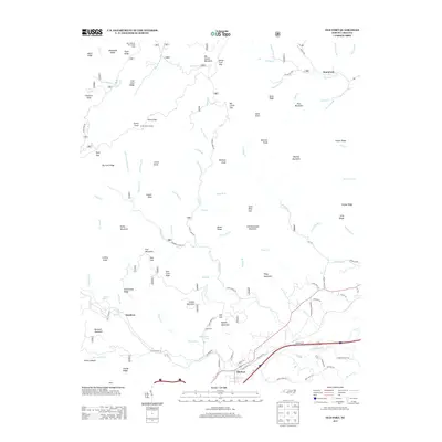 2013 Old Fort2013 Print · USGSMcDowell County in the early twenty-first century is a landscape of mountain peaks and river valleys centered on the town of Old Fort. Researchers can trace the rail and road corridors near Andrews Geyser or locate high-country landmarks like Green Knob Lookout.
 - 2016 Map of Chestoa, 2016 Print
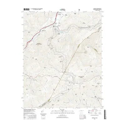 2016 Chestoa2016 Print · USGSThe Tennessee and North Carolina borderlands come alive in this survey of the high Unaka range. Researchers can trace the Appalachian National Scenic Trail as it winds past Lost Cove and the Nolichucky River, or locate old mountain communities like Chestoa and Love Station.
Showing maps 1-25 of 48
Top cities of Yancey County
Frequently asked questions
- What are the different types of historical maps available for Yancey County?
- What is the oldest map of Yancey County?
- Where can I purchase historical maps of Yancey County for my home or office?
- Where can I download high-res historical maps of Yancey County?
- Are there historical topographic maps available for Yancey County?
- Is there historical aerial imagery available for Yancey County?
- Where are historical maps of Yancey County sourced from?