2000s (21st Century) Maps of St. Michael District, North Dakota
Explore 30 historic maps of St. Michael District from the 2000s (21st Century). These maps offer a rare glimpse into what life looked like during the 2000s — showing old roads, neighborhoods, homes, and landmarks that have changed or disappeared over time.
Whether you're researching your family's past, planning a metal detecting trip, or studying how St. Michael District's landscape evolved across the 2000s, these high-resolution maps are a powerful tool for exploring the history of this region.
- Focus on a specific era: All maps on this page are from the 2000s, giving you a focused view of this time period.
- See what’s changed: Compare century-old streets, trails, and buildings to today's modern landscape using overlays and satellite layers.
- Research with precision: Use these maps for genealogy, historical research, land use analysis, or educational projects.
- View, download, or print: Maps are fully viewable online in high resolution, and can be downloaded or printed for your own records.
Start exploring St. Michael District's history through authentic maps from the 2000s. This is your window into the past.
St. Michael District, ND maps
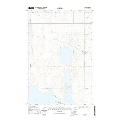
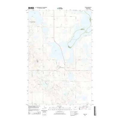
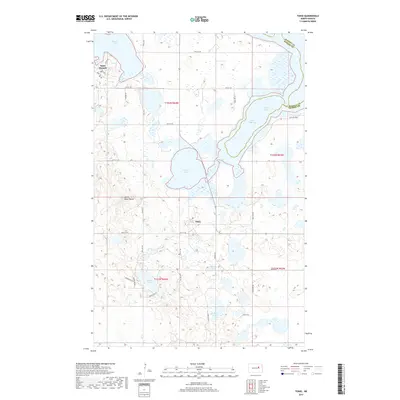
(30)- 2011 Map of Tokio, 2011 Print
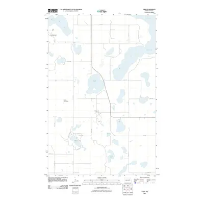 2011 Tokio2011 Print · USGSCovers St. Michael District, including Wood Lake District, Tokio, and other nearby areas
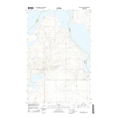
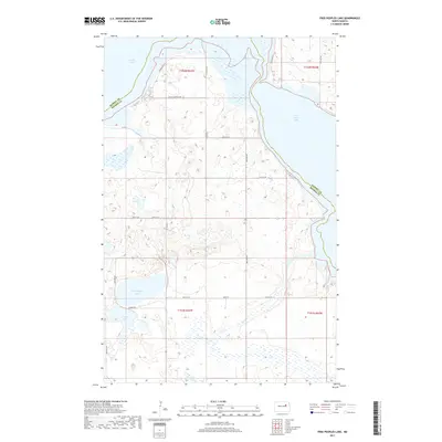
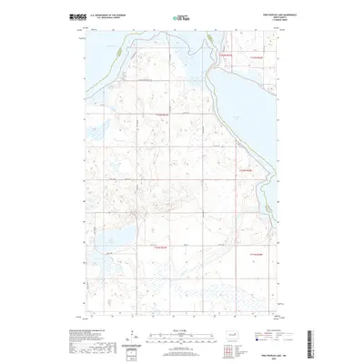
 - 2011 Map of Free Peoples Lake, 2011 Print
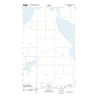 2011 Free Peoples Lake2011 Print · USGSCovers St. Michael District, including Wood Lake District, Benson County, and other nearby areas
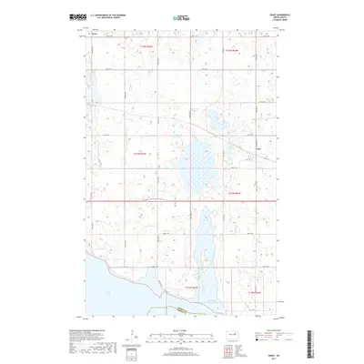
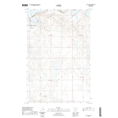
 - 2011 Map of Fort Totten, 2011 Print
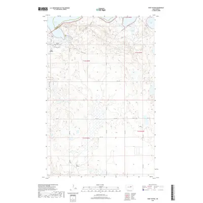
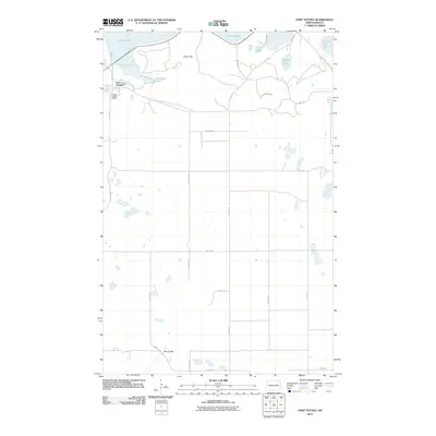 2011 Fort Totten2011 Print · USGSCovers St. Michael District, including Wood Lake District, Fort Totten District, and other nearby areas
 - 2011 Map of Crary, 2011 Print
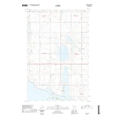
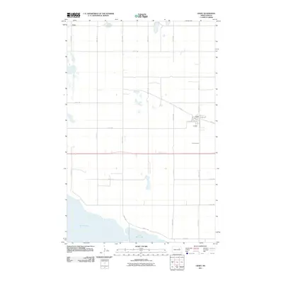 2011 Crary2011 Print · USGSCovers St. Michael District, including Crary, Essex, and other nearby areas
 - 2011 Map of Devils Lake, 2011 Print
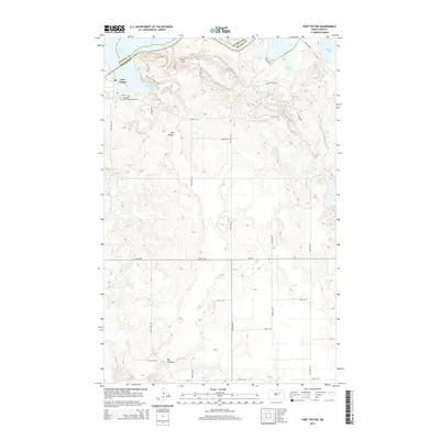
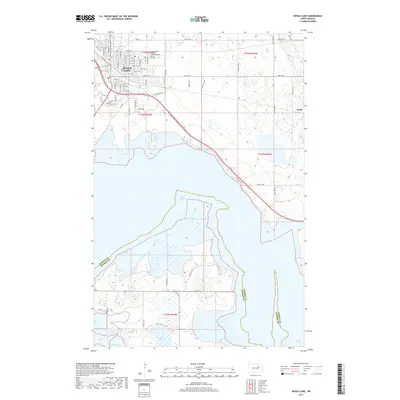
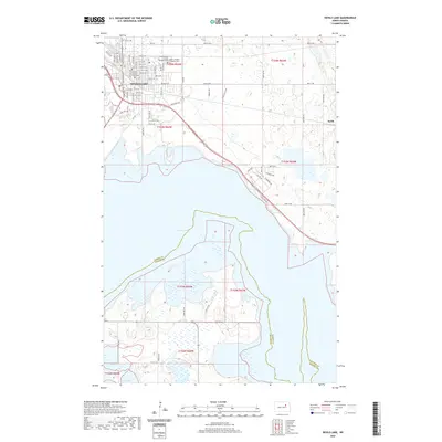
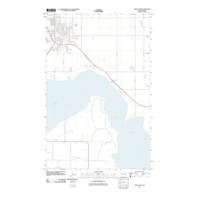 2011 Devils Lake2011 Print · USGSCovers St. Michael District, including Devils Lake, Keith, and other nearby areas
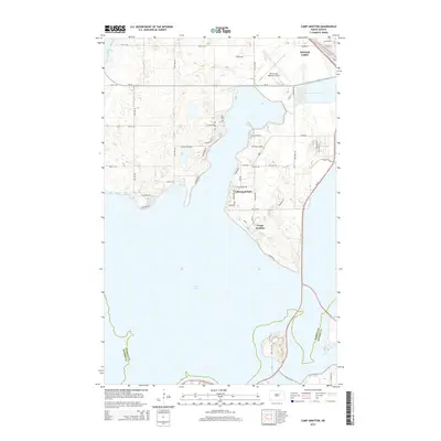
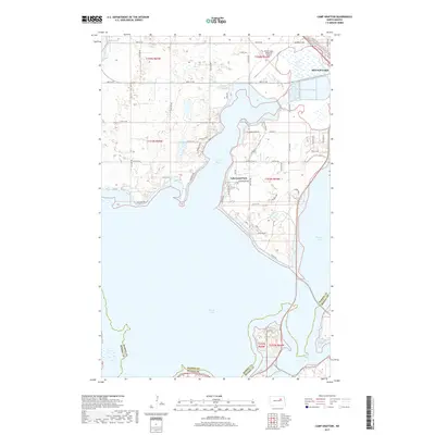
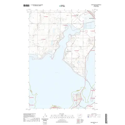
 - 2011 Map of Camp Grafton, 2011 Print
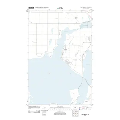 2011 Camp Grafton2011 Print · USGSCovers St. Michael District, including Devils Lake, Lakewood Park, and other nearby areas
 - 2014 Map of Crary, 2014 Print
 2014 Crary2014 Print · USGSCovers St. Michael District, including Crary, Essex, and other nearby areas
 - 2014 Map of Devils Lake, 2014 Print
 2014 Devils Lake2014 Print · USGSCovers St. Michael District, including Devils Lake, Keith, and other nearby areas
 - 2014 Map of Camp Grafton, 2014 Print
 2014 Camp Grafton2014 Print · USGSCovers St. Michael District, including Devils Lake, Lakewood Park, and other nearby areas
 - 2014 Map of Fort Totten, 2014 Print
 2014 Fort Totten2014 Print · USGSCovers St. Michael District, including Wood Lake District, Fort Totten District, and other nearby areas
 - 2014 Map of Free Peoples Lake, 2014 Print
 2014 Free Peoples Lake2014 Print · USGSCovers St. Michael District, including Wood Lake District, Benson County, and other nearby areas
 - 2014 Map of Tokio, 2014 Print
 2014 Tokio2014 Print · USGSCovers St. Michael District, including Wood Lake District, Tokio, and other nearby areas
 - 2017 Map of Tokio, 2017 Print
 2017 Tokio2017 Print · USGSCovers St. Michael District, including Wood Lake District, Tokio, and other nearby areas
 - 2017 Map of Free Peoples Lake, 2017 Print
 2017 Free Peoples Lake2017 Print · USGSCovers St. Michael District, including Wood Lake District, Benson County, and other nearby areas
 - 2017 Map of Crary, 2017 Print
 2017 Crary2017 Print · USGSCovers St. Michael District, including Crary, Essex, and other nearby areas
 - 2017 Map of Camp Grafton, 2017 Print
 2017 Camp Grafton2017 Print · USGSCovers St. Michael District, including Devils Lake, Lakewood Park, and other nearby areas
 - 2017 Map of Devils Lake, 2017 Print
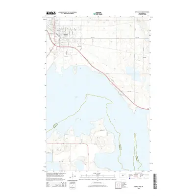
 2017 Devils Lake2017 Print · USGSCovers St. Michael District, including Devils Lake, Keith, and other nearby areas
 - 2018 Map of Fort Totten, 2018 Print
 2018 Fort Totten2018 Print · USGSCovers St. Michael District, including Wood Lake District, Fort Totten District, and other nearby areas
 - 2020 Map of Devils Lake, 2020 Print
 2020 Devils Lake2020 Print · USGSCovers St. Michael District, including Devils Lake, Keith, and other nearby areas
 - 2020 Map of Crary, 2020 Print
 2020 Crary2020 Print · USGSCovers St. Michael District, including Crary, Essex, and other nearby areas
 - 2020 Map of Tokio, 2020 Print
 2020 Tokio2020 Print · USGSCovers St. Michael District, including Wood Lake District, Tokio, and other nearby areas
 - 2020 Map of Camp Grafton, 2020 Print
 2020 Camp Grafton2020 Print · USGSCovers St. Michael District, including Devils Lake, Lakewood Park, and other nearby areas
 - 2020 Map of Fort Totten, 2020 Print
 2020 Fort Totten2020 Print · USGSCovers St. Michael District, including Wood Lake District, Fort Totten District, and other nearby areas
 - 2020 Map of Free Peoples Lake, 2020 Print
 2020 Free Peoples Lake2020 Print · USGSCovers St. Michael District, including Wood Lake District, Benson County, and other nearby areas
 - 2024 Map of Tokio, 2024 Print
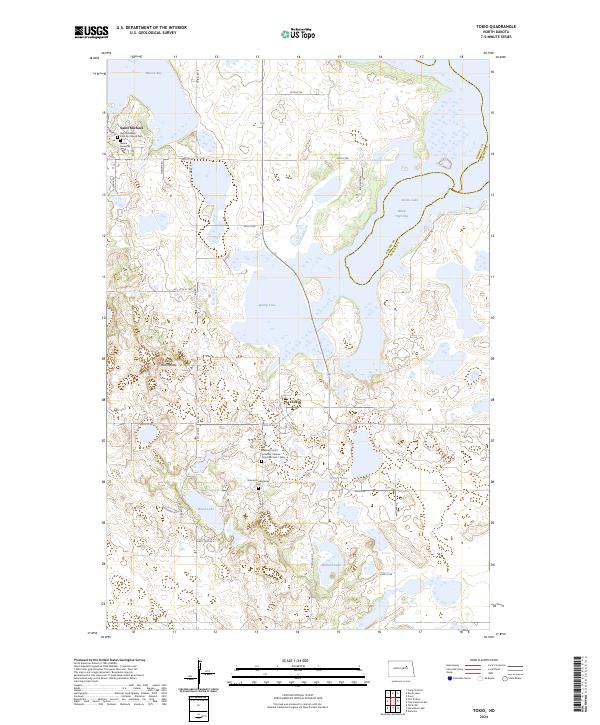 2024 Tokio2024 Print · USGSBenson County is documented here in the early 2020s, showing a landscape defined by prairie wetlands and the rural communities of Saint Michael and Tokio. Genealogists can trace local roots at the Saint Michaels Catholic Church Cem and the Bdecan Presbyterian Cem.
Showing maps 1-25 of 30
Top cities near St. Michael District
Top neighborhoods of St. Michael District
Frequently asked questions
- What are the different types of historical maps available for St. Michael District?
- What is the oldest map of St. Michael District?
- Where can I purchase historical maps of St. Michael District for my home or office?
- Where can I download high-res historical maps of St. Michael District?
- Are there historical topographic maps available for St. Michael District?
- Is there historical aerial imagery available for St. Michael District?
- Where are historical maps of St. Michael District sourced from?