2010s Maps of St. Michael District, North Dakota
Explore 18 historic maps of St. Michael District from the 2010s. These maps offer a rare glimpse into what life looked like during the 2010s — showing old roads, neighborhoods, homes, and landmarks that have changed or disappeared over time.
Whether you're researching your family's past, planning a metal detecting trip, or studying how St. Michael District's landscape evolved across the 2010s, these high-resolution maps are a powerful tool for exploring the history of this region.
- Focus on a specific era: All maps on this page are from the 2010s, giving you a focused view of this time period.
- See what’s changed: Compare century-old streets, trails, and buildings to today's modern landscape using overlays and satellite layers.
- Research with precision: Use these maps for genealogy, historical research, land use analysis, or educational projects.
- View, download, or print: Maps are fully viewable online in high resolution, and can be downloaded or printed for your own records.
Start exploring St. Michael District's history through authentic maps from the 2010s. This is your window into the past.
St. Michael District, ND maps
(18)- 2011 Map of Tokio, 2011 Print
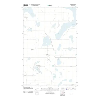 2011 Tokio2011 Print · USGSThe Wood Lake District is shown here in the early twenty-first century, featuring a landscape defined by prairie potholes and the expanding reaches of Devils Lake. Researchers can trace the layout of Tokio and Saint Michael or locate landmarks like Devils Heart Butte.
 - 2011 Map of Free Peoples Lake, 2011 Print
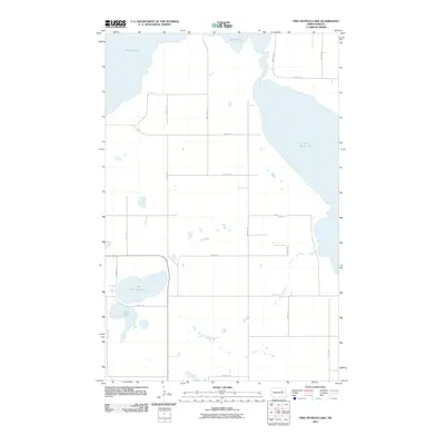 2011 Free Peoples Lake2011 Print · USGSThe Wood Lake District prairie and the receding reaches of the great salt lake are captured here early in the millennium. Researchers can trace rural property lines and local landmarks like Free Peoples Lake, Elbow Lake, and the shoreline of Devils Lake.
 - 2011 Map of Fort Totten, 2011 Print
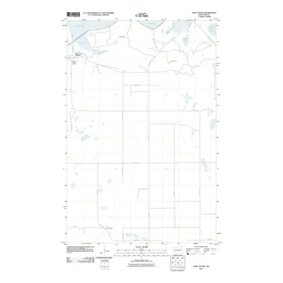 2011 Fort Totten2011 Print · USGSFort Totten and the surrounding lake country are documented here in the early twenty-first century, showing the intersection of tribal agency lands and glacial terrain. Researchers can trace the layout of the Fort Totten Indian Agency and locate specific features like Sullys Hill and Mallard Lake.
 - 2011 Map of Crary, 2011 Print
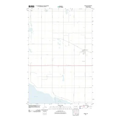 2011 Crary2011 Print · USGSCrary and its surrounding agricultural plains are captured in this early 21st-century survey, showcasing the town's street plan and lakefront proximity. Genealogists and local historians can trace the grid from Crary Cemetery north to the community of Essex.
 - 2011 Map of Devils Lake, 2011 Print
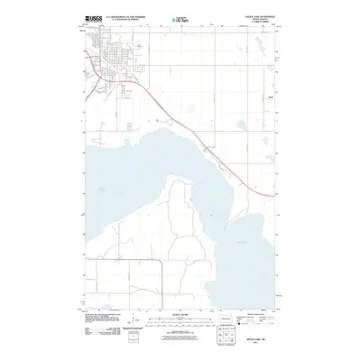 2011 Devils Lake2011 Print · USGSThe expansion of the northern plains is captured in this survey of Ramsey County, North Dakota, during the early twenty-first century. Genealogists and local historians can trace the street grids near GAR Cemetery or locate the lakeside hamlet of Keith near Devils Lake.
 - 2011 Map of Camp Grafton, 2011 Print
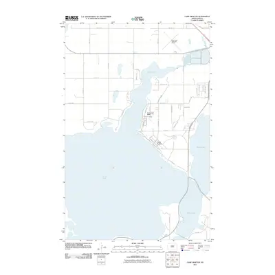 2011 Camp Grafton2011 Print · USGSDevils Lake and its winding shoreline define this area of North Dakota in the early twenty-first century. Genealogists and researchers can trace the layout of Lakewood Park or the military grounds at Camp Grafton, alongside the Devils Lake Municipal Airport.
 - 2014 Map of Crary, 2014 Print
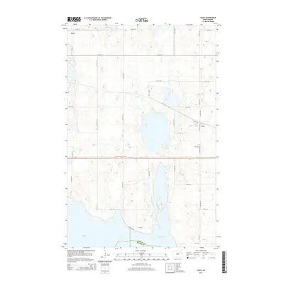 2014 Crary2014 Print · USGSRamsey County's prairie landscape meets the rising waters of the lake in the early twenty-first century. Genealogists and local historians can trace the townsite of Crary, the nearby Crary Cem, and the rural settlement of Essex along the US-2 corridor.
 - 2014 Map of Devils Lake, 2014 Print
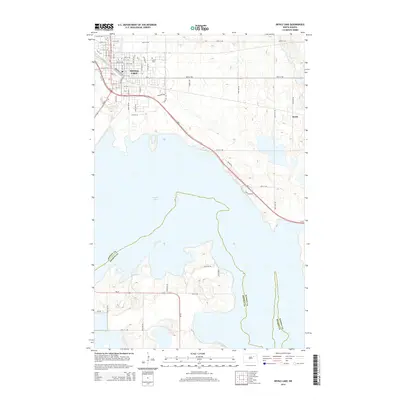 2014 Devils Lake2014 Print · USGSThe northern shores of the Great Plains are captured in this 2010s survey, showing the growth of Devils Lake and its surrounding townships. Genealogists and local historians can trace family locations near G A R Cem or follow the old rail alignments near Keith.
 - 2014 Map of Camp Grafton, 2014 Print
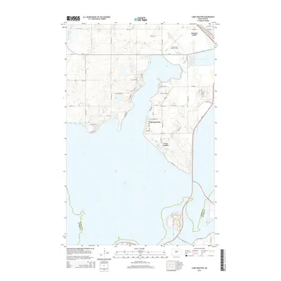 2014 Camp Grafton2014 Print · USGSThe Devils Lake shoreline in the early twenty-first century is defined by its military presence and growing lakeside communities. Trace the roads of Camp Grafton and Lakewood Park or locate the Devils Lake Regional Airport near the water's edge.
 - 2014 Map of Fort Totten, 2014 Print
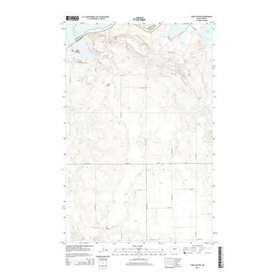 2014 Fort Totten2014 Print · USGSThe Benson and Ramsey county lines meet south of Devils Lake in this recent survey of the Wood Lake District. Trace the modern footprint of Fort Totten, the Cankdeska Cikana Community College, and the winding Sullys Hill Nature Trail.
 - 2014 Map of Free Peoples Lake, 2014 Print
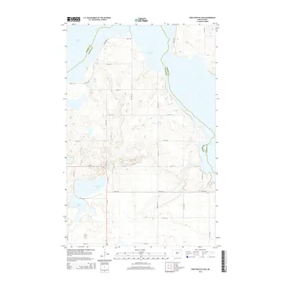 2014 Free Peoples Lake2014 Print · USGSThe Wood Lake District is shown here in the early twenty-first century, a landscape defined by the expansive waters of Free Peoples Lake. Genealogists and local historians can trace the rural road network between Ramsey and Benson counties, including ND-20 and Elbow Lake.
 - 2014 Map of Tokio, 2014 Print
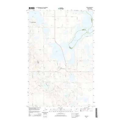 2014 Tokio2014 Print · USGSThe Spirit Lake Reservation landscape near Tokio and Saint Michael is captured here in the early twenty-first century. Researchers can trace local landmarks like Devils Heart Butte and the residential clusters of Woodlake Hts along the shores of Wood Lake.
 - 2017 Map of Tokio, 2017 Print
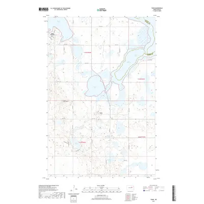 2017 Tokio2017 Print · USGSBenson and Ramsey Counties are shown here during the late 2010s, focused on the tribal communities south of the lake. Researchers can trace the layout of Tokio and Saint Michael or find family landmarks near Wood Lake and Heart Butte.
 - 2017 Map of Free Peoples Lake, 2017 Print
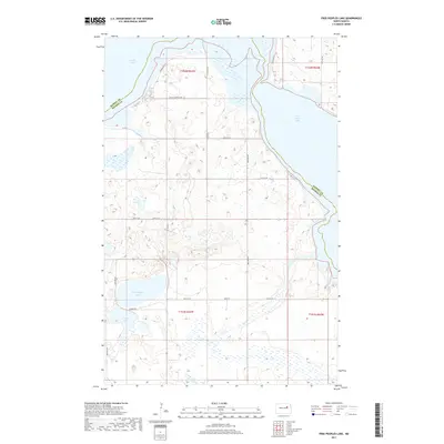 2017 Free Peoples Lake2017 Print · USGSThe Ramsey and Benson county line bisects this watery landscape in the mid-2010s, where the prairie meets the shifting shorelines of the Devils Lake basin. Map collectors and local researchers can trace the rural road network connecting Free Peoples Lake and Elbow Lake via routes like Reeves Rd.
 - 2017 Map of Crary, 2017 Print
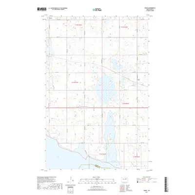 2017 Crary2017 Print · USGSRamsey County agriculture and the expanding waters of the northern plains are captured here in the late twenty-teens. Genealogists and local historians can trace the townsite of Crary, the rural community of Essex, and the Crary Cem near the shores of Devils Lake.
 - 2017 Map of Camp Grafton, 2017 Print
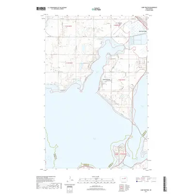 2017 Camp Grafton2017 Print · USGSDevils Lake and its winding bays are captured here in the mid-2010s, showing the intersection of lake life and the North Dakota prairie. Researchers can trace the waterfront development of Lakewood Park or locate the runways of the Devils Lake Regional Airport near the shores of Creel Bay.
 - 2017 Map of Devils Lake, 2017 Print
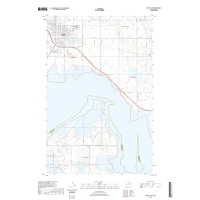 2017 Devils Lake2017 Print · USGSThe city of Devils Lake and its fluctuating shoreline are captured in this 2017 survey of the Ramsey County basin. Researchers can trace the city street grid, locate the Grand Army of the Republic Cem, and follow Lake View Dr along the water.
 - 2018 Map of Fort Totten, 2018 Print
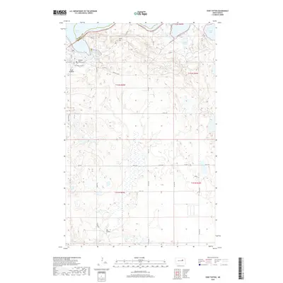 2018 Fort Totten2018 Print · USGSFort Totten and the southern shores of Devils Lake are documented here in the early 21st century. Researchers can trace local history through the Fort Totten Post Cem, the Cankdeska Cikana Community Coll, and landmarks like Sullys Hill.
End of results
Showing maps 1-18 of 18
Top cities near St. Michael District
Top neighborhoods of St. Michael District
Frequently asked questions
- What are the different types of historical maps available for St. Michael District?
- What is the oldest map of St. Michael District?
- Where can I purchase historical maps of St. Michael District for my home or office?
- Where can I download high-res historical maps of St. Michael District?
- Are there historical topographic maps available for St. Michael District?
- Is there historical aerial imagery available for St. Michael District?
- Where are historical maps of St. Michael District sourced from?