Old Maps of Gardena, North Dakota for Hiking & Exploration
Hike through history with 16 historic maps of Gardena. Explore old trails, ghost towns, and forgotten backroads — perfect for outdoor adventurers and local explorers.
- Rediscover forgotten places: Map out old mining camps, roads, and footpaths that no longer exist on modern maps.
- Layer with modern tools: Combine with LiDAR or satellite views to plan hikes through historical terrain.
- Made for exploration: Popular among hikers, overlanders, and local history lovers.
Use these maps to find adventure and explore the hidden past of Gardena.
Gardena, ND maps
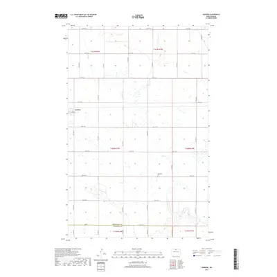
(16)- 1954 Map of Gardena, 1956 Print
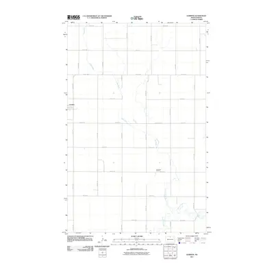
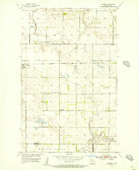 1954 Gardena1956 Print · USGSThe prairie landscape of Bottineau County is captured here in the mid-1950s, centered on the rail junction at Gardena. Researchers can trace the decline of early rural schoolhouses like Nehring Sch (Abandoned) and locate family plots at the Evangelical Cem.
 - 1954 Map of Minot, 1964 Print
 1954 Minot1964 Print · USGSNorth Dakota's northern borderlands are captured here in the mid-fifties, showing a landscape defined by the winding Souris River and the rise of the Turtle Mountains. Genealogists can locate family-named sidings like Hurd Siding and Truro Siding alongside the vital Great Northern rail lines.3 unique versions available
 - 1955 Map of Upham NE, 1956 Print
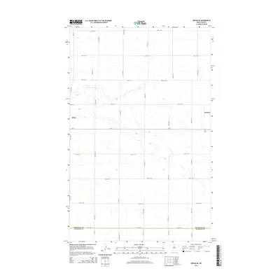
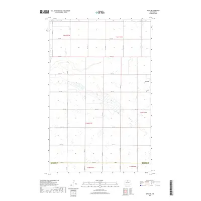
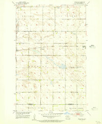 1955 Upham NE1956 Print · USGSMid-century Bottineau County thrives as a rail-centered agricultural landscape just as the rural school system begins to shift. Genealogists and historians can locate the Zion Cem, the town of Gardena, and an early School No 1 (Abandoned).
 - 1958 Map of Minot
 1958 Minot1958 Print · USGSNorthern North Dakota is shown here during the mid-fifties, dominated by the rail-driven growth of Minot and the surrounding grain-farming prairie. Genealogists can trace family connections to border towns like Westhope or explore the vast reaches of the Turtle Mountains.
 - 1963 Map of Gardena, 1964 Print
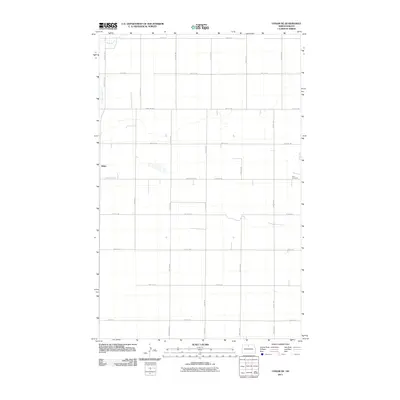
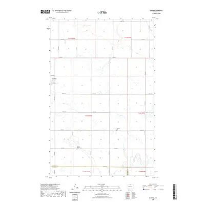
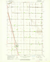 1963 Gardena1964 Print · USGSNorth Dakota's fertile Red River Valley is captured in the early sixties as a major highway was Under Construction next to the rail lines. Trace family roots and agricultural history through the townships of Kinyon and Noble or the grain-handling centers of Gardner and Grandin.
 - 1980 Map of Bottineau
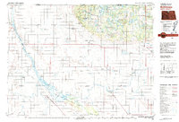 1980 Bottineau1980 Print · USGSNorth Dakota's northern borderlands are shown here in the 1980s, where the high wooded hills of the Turtle Mountains meet the Souris River valley. Genealogists and historians can trace the rail networks of the Soo Line and locate landmarks like San Haven, Butte St Paul, and the International Peace Garden.
 - 2011 Map of Upham NE, 2011 Print
 2011 Upham NE2011 Print · USGSCovers Gardena, including White, McHenry County, and other nearby areas
 - 2011 Map of Gardena, 2011 Print
 2011 Gardena2011 Print · USGSCovers Gardena, including McHenry County, Bottineau County, and other nearby areas
 - 2014 Map of Upham NE, 2014 Print
 2014 Upham NE2014 Print · USGSCovers Gardena, including White, McHenry County, and other nearby areas
 - 2014 Map of Gardena, 2014 Print
 2014 Gardena2014 Print · USGSCovers Gardena, including McHenry County, Bottineau County, and other nearby areas
 - 2017 Map of Gardena, 2017 Print
 2017 Gardena2017 Print · USGSCovers Gardena, including McHenry County, Bottineau County, and other nearby areas
 - 2017 Map of Upham NE, 2017 Print
 2017 Upham NE2017 Print · USGSCovers Gardena, including White, McHenry County, and other nearby areas
 - 2020 Map of Gardena, 2020 Print
 2020 Gardena2020 Print · USGSCovers Gardena, including McHenry County, Bottineau County, and other nearby areas
 - 2020 Map of Upham NE, 2020 Print
 2020 Upham NE2020 Print · USGSCovers Gardena, including White, McHenry County, and other nearby areas
 - 2024 Map of Gardena, 2024 Print
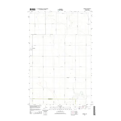
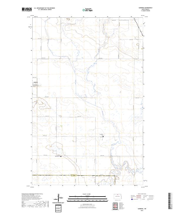 2024 Gardena2024 Print · USGSGardena and the surrounding prairie of northern North Dakota are shown in this contemporary study of Bottineau County's agricultural heartland. Genealogists can locate family sites near the Gardena Methodist Cem and trace the paths of Oak Creek or Willow Creek through the rural township grid.
 - 2024 Map of Upham NE, 2024 Print
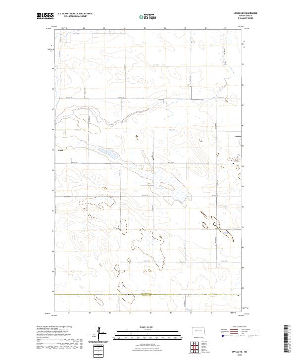 2024 Upham NE2024 Print · USGSNorth Dakota's northern prairie is captured here in the contemporary era, showing the intersection of Bottineau and McHenry counties. Researchers can trace rural property access and local history via Gardena, Zion Cem, and the grid of 92nd St NE.
End of results
Showing maps 1-16 of 16
Top cities near Gardena
- Bottineau historical maps
- Willow City historical maps
- Upham historical maps
- Souris historical maps
- Kramer historical maps
- Bantry historical maps
Frequently asked questions
- What are the different types of historical maps available for Gardena?
- What is the oldest map of Gardena?
- Where can I purchase historical maps of Gardena for my home or office?
- Where can I download high-res historical maps of Gardena?
- Are there historical topographic maps available for Gardena?
- Is there historical aerial imagery available for Gardena?
- Where are historical maps of Gardena sourced from?