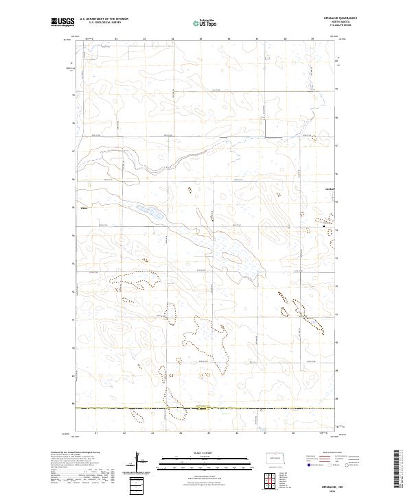
2024 Map of Upham NE
USGS Topo · Published 2024About this map
Gardena occupies the eastern edge of this agricultural landscape in Bottineau County, where the prairie is defined by a dense network of sectional roads and glacial depressions. The terrain around the White feature is characterized by numerous small wetlands and basins typical of the Souris River loop region. A structured grid of gravel routes, including Central Ave N and White Spur Rd, connects isolated farmsteads and provides access to local landmarks like Zion Cem. This 2024 survey documents the enduring rural structure of North Dakota's drift prairie, illustrating the precise boundaries of townships such as t161n r77w and t160n r76w. The map's detail is particularly useful for identifying modern land use and historical property lines in a region where the vast majority of original settlement patterns remain etched into the contemporary road network.
Find a feature on this map
29 named features on this map. Tap any name to fly to it.
Don’t see what you’re looking for? This feature index may not catch every label — zoom into the map to look around manually.
Map Details
Editions of this 2024 Upham NE Map
This is the sole edition of this map. No revisions or reprints were ever made.
Other maps of this area

1949 · Kramer
USGS Topo · 1:24,000

1950 · Kramer
USGS Topo · 1:24,000

1950 · Upham SE
USGS Topo · 1:24,000

1950 · Upham
USGS Topo · 1:24,000

1950 · Willow City SW
USGS Topo · 1:24,000

1954 · Souris SW
USGS Topo · 1:24,000

1954 · Souris SE
USGS Topo · 1:24,000

1954 · Gardena
USGS Topo · 1:24,000

1954 · Minot
USGS Topo · 1:250,000
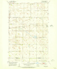
1955 · Upham NE
USGS Topo · 1:24,000