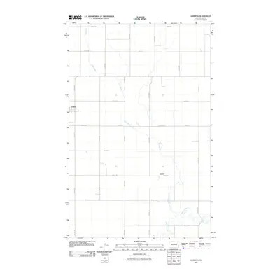
2011 Map of Gardena
USGS Topo · Published 2011About this map
The small settlement of Gardena stands as the primary hub in this portion of Bottineau County, surrounded by a precise grid of rural section roads and waterways. This landscape is defined by the winding paths of Oak Creek and Willow Creek, which meander through the prairie independent of the rigid township lines that govern the local transportation network. These natural drainage patterns contrast with the straight alignments of Kramer Rd and County Rd 47. For those researching the community's history, the Evangelical Cemetery serves as a significant genealogical landmark, positioned in the lower portion of the quadrangle. The map illustrates a classic Great Plains agricultural layout where small towns like Gardena developed at key road intersections to serve the surrounding farmsteads.
Find a feature on this map
17 named features on this map. Tap any name to fly to it.
Don’t see what you’re looking for? This feature index may not catch every label — zoom into the map to look around manually.
Map Details
Editions of this 2011 Gardena Map
This is the sole edition of this map. No revisions or reprints were ever made.
Other maps of this area
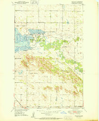
1950 · Upham SE
USGS Topo · 1:24,000
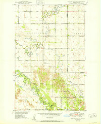
1950 · Willow City SW
USGS Topo · 1:24,000
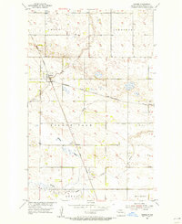
1954 · Omemee
USGS Topo · 1:24,000
1954 · Souris SE
USGS Topo · 1:24,000
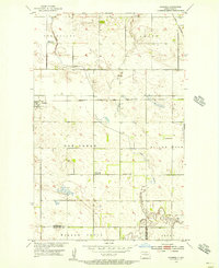
1954 · Gardena
USGS Topo · 1:24,000
1954 · Willow City
USGS Topo · 1:24,000
1954 · Minot
USGS Topo · 1:250,000
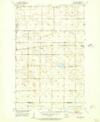
1955 · Upham NE
USGS Topo · 1:24,000
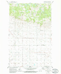
1955 · Bottineau
USGS Topo · 1:24,000
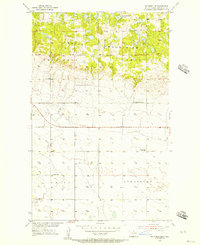
1955 · Bottineau SE
USGS Topo · 1:24,000