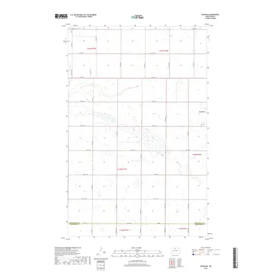
2017 Map of Upham NE
USGS Topo · Published 2017About this map
Gardena sits at the edge of this prairie landscape in northern North Dakota, where the township boundaries of t161n r77w and t160n r76w meet. The terrain is defined by a dense concentration of small wetlands and potholes typical of the region's glacial history, stretching across the county line at Bottineau Co McHenry Co. Evidence of early settlement and community centers persists at Zion Cem, located just south of the town site. The map shows a precise grid of rural roads, including White Spur Rd and 84th St NE, which navigate around the natural drainage of Stone Cr in the northwestern corner. This 2017 survey provides a clear look at the modern rural structure of the area, maintaining the original section lines and land divisions that have organized these agricultural lands for generations.
Find a feature on this map
33 named features on this map. Tap any name to fly to it.
Don’t see what you’re looking for? This feature index may not catch every label — zoom into the map to look around manually.
Map Details
Editions of this 2017 Upham NE Map
This is the sole edition of this map. No revisions or reprints were ever made.
Other maps of this area
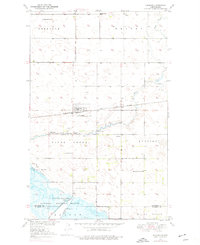
1949 · Kramer
USGS Topo · 1:24,000
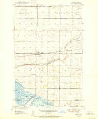
1950 · Kramer
USGS Topo · 1:24,000
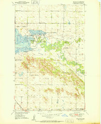
1950 · Upham SE
USGS Topo · 1:24,000
1950 · Upham
USGS Topo · 1:24,000
1950 · Willow City SW
USGS Topo · 1:24,000
1954 · Souris SW
USGS Topo · 1:24,000
1954 · Souris SE
USGS Topo · 1:24,000
1954 · Gardena
USGS Topo · 1:24,000
1954 · Minot
USGS Topo · 1:250,000
1955 · Upham NE
USGS Topo · 1:24,000