Old Maps of Buchanan Valley Township, North Dakota for Academic Research
Study the evolution of Buchanan Valley Township with 27 high-resolution historic maps. Whether you're teaching, researching, or modeling changes in land use, these maps provide essential visual documentation of urban, environmental, and geographic change.
- Analyze long-term change: Track patterns in development, transportation, and natural features.
- Ideal for environmental or urban studies: Support academic projects with primary historical map data.
- Use in the classroom or lab: Educators and researchers rely on these maps to bring historical context to life.
These maps are a powerful tool for teaching, research, and visualizing how Buchanan Valley Township has changed over the decades.
Buchanan Valley Township, ND maps
(27)- 1954 Map of Bismarck, 1967 Print
 1954 Bismarck1967 Print · USGSBismarck and the Missouri River basin are shown in the mid-1960s as the Oahe Reservoir reshaped the valley. Genealogists can trace family-named landmarks like Dog Tooth Buttes and small prairie settlements such as Fort Yates, Selfridge, and Brisbane.2 unique versions available
 - 1958 Map of Bismarck
 1958 Bismarck1958 Print · USGSCentral North Dakota in the late fifties is defined by the Missouri River and the sprawling Standing Rock Indian Reservation. Genealogists and historians can trace rail-line outposts like Sedalia Siding or explore local landmarks like Saint Anthony and Fort Lincoln State Park/Museum.
 - 1971 Map of Moffit SW, 1973 Print
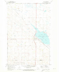
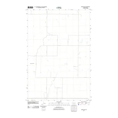
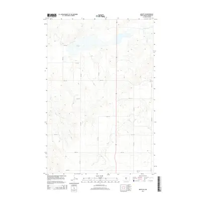
 1971 Moffit SW1973 Print · USGSEmmons County land is captured here in the early seventies, dominated by the lingering lines of a nineteenth-century military frontier. Researchers can trace the Old Fort Rice Military Reservation Boundary and locate local landmarks like Rattlesnake Butte and Devils Gulch.
 - 1971 Map of Moffit SE, 1973 Print
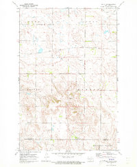
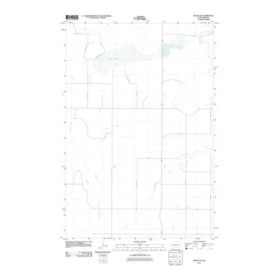
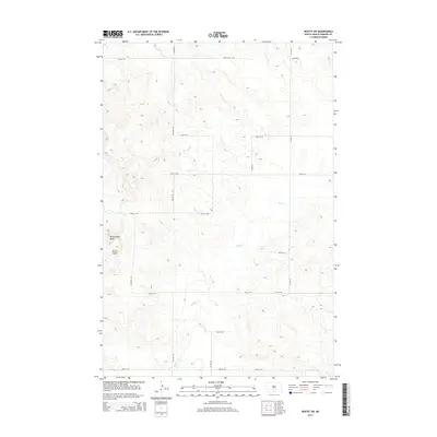
 1971 Moffit SE1973 Print · USGSEmmons County prairie and the community of Hazelton are shown here as they appeared in the early seventies. Researchers can trace the Burlington Northern rail line and locate landmarks like the local Townhall and Dutton Slough.
 - 1971 Map of Moffit NW, 1973 Print
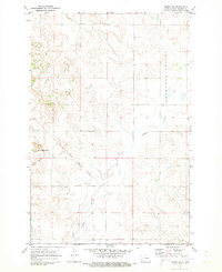
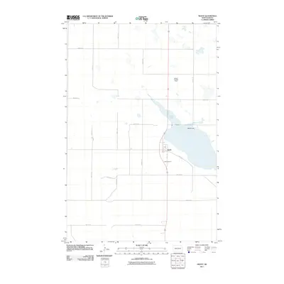
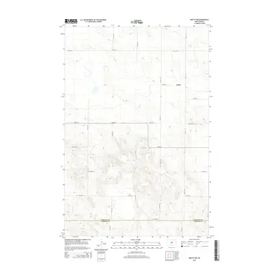
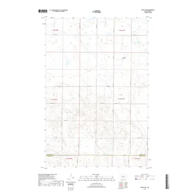
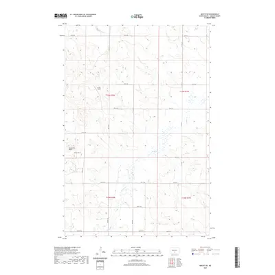
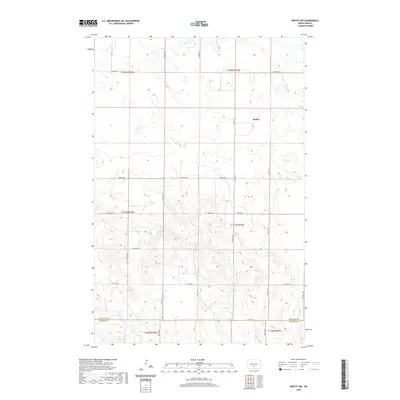
 1971 Moffit NW1973 Print · USGSCentral North Dakota’s rugged breaks and prairie flats are captured here in the early seventies as the railroad and ranching economy shaped the land. Genealogists and local historians can trace family-named landmarks like Black Leg Ranch and the rail siding at Brittin.
 - 1971 Map of Moffit, 1973 Print
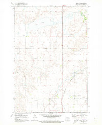
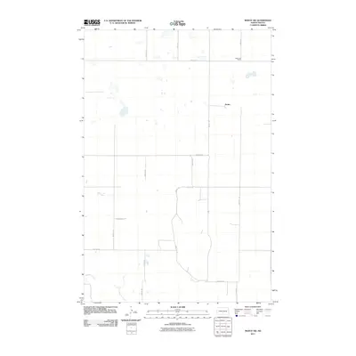
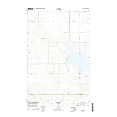
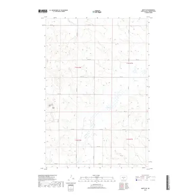
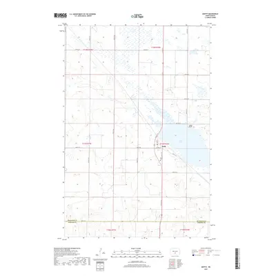
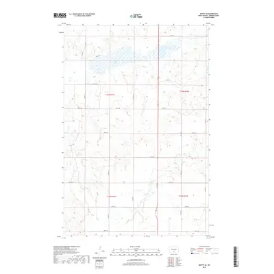
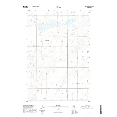
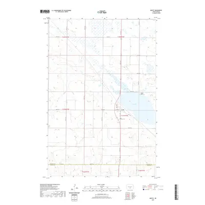
 1971 Moffit1973 Print · USGSThe rural landscape around Moffit comes into focus during the early 1970s, as the Burlington Northern and Soo Line railroads cross the prairie. Researchers can trace local landmarks like Moffit Cemetery, Moffit Butte, and the protected waters of Long Lake.
 - 1979 Map of Bismarck, 1980 Print
 1979 Bismarck1980 Print · USGSBismarck and Mandan sit at the heart of this late-century North Dakota survey, where the Missouri River flows past historic frontier outposts. Trace the old Soo Line rail corridors or locate family landmarks near St Anthony, Fort Rice, and Custer Flats.
 - 2011 Map of Moffit NW, 2011 Print
 2011 Moffit NW2011 Print · USGSCovers Buchanan Valley Township, including Brittin, Burleigh County, and other nearby areas
 - 2011 Map of Moffit, 2011 Print
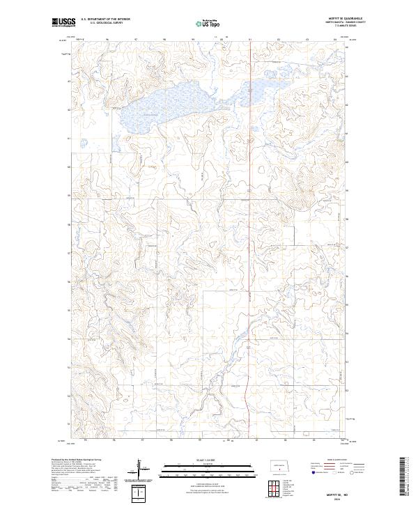
 2011 Moffit2011 Print · USGSCovers Buchanan Valley Township, including Moffit, Burleigh County, and other nearby areas
 - 2011 Map of Moffit SE, 2011 Print
 2011 Moffit SE2011 Print · USGSCovers Buchanan Valley Township, including Hazelton Township, Emmons County, and other nearby areas
 - 2011 Map of Moffit SW, 2011 Print
 2011 Moffit SW2011 Print · USGSCovers Buchanan Valley Township, including Emmons County, United States, and other nearby areas
 - 2014 Map of Moffit SE, 2014 Print
 2014 Moffit SE2014 Print · USGSCovers Buchanan Valley Township, including Hazelton Township, Emmons County, and other nearby areas
 - 2014 Map of Moffit, 2014 Print
 2014 Moffit2014 Print · USGSCovers Buchanan Valley Township, including Moffit, Burleigh County, and other nearby areas
 - 2014 Map of Moffit NW, 2014 Print
 2014 Moffit NW2014 Print · USGSCovers Buchanan Valley Township, including Brittin, Burleigh County, and other nearby areas
 - 2014 Map of Moffit SW, 2014 Print
 2014 Moffit SW2014 Print · USGSCovers Buchanan Valley Township, including Emmons County, United States, and other nearby areas
 - 2017 Map of Moffit NW, 2017 Print
 2017 Moffit NW2017 Print · USGSCovers Buchanan Valley Township, including Brittin, Burleigh County, and other nearby areas
 - 2018 Map of Moffit SW, 2018 Print
 2018 Moffit SW2018 Print · USGSCovers Buchanan Valley Township, including Emmons County, United States, and other nearby areas
 - 2018 Map of Moffit, 2018 Print
 2018 Moffit2018 Print · USGSCovers Buchanan Valley Township, including Moffit, Burleigh County, and other nearby areas
 - 2018 Map of Moffit SE, 2018 Print
 2018 Moffit SE2018 Print · USGSCovers Buchanan Valley Township, including Hazelton Township, Emmons County, and other nearby areas
 - 2020 Map of Moffit SW, 2020 Print
 2020 Moffit SW2020 Print · USGSCovers Buchanan Valley Township, including Emmons County, United States, and other nearby areas
 - 2020 Map of Moffit NW, 2020 Print
 2020 Moffit NW2020 Print · USGSCovers Buchanan Valley Township, including Brittin, Burleigh County, and other nearby areas
 - 2020 Map of Moffit SE, 2020 Print
 2020 Moffit SE2020 Print · USGSCovers Buchanan Valley Township, including Hazelton Township, Emmons County, and other nearby areas
 - 2020 Map of Moffit, 2020 Print
 2020 Moffit2020 Print · USGSCovers Buchanan Valley Township, including Moffit, Burleigh County, and other nearby areas
 - 2024 Map of Moffit SW, 2024 Print
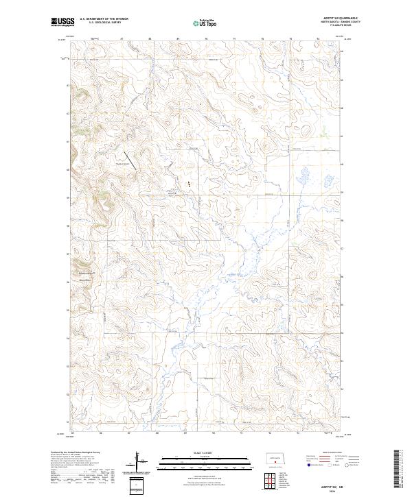 2024 Moffit SW2024 Print · USGSEmmons County in the early twenty-first century remains a landscape of section-line roads and prairie drainage. Researchers can locate the precisely mapped Snyders Airport and trace the winding natural paths of Devils Gulch and Badger Creek.
 - 2024 Map of Moffit SE, 2024 Print
 2024 Moffit SE2024 Print · USGSEmmons County enters the mid-2020s as a landscape defined by its conservation areas and section-line road grids. Researchers can trace the intersection of prairie drainage and modern land management at Dutton Slough and the Emmons County Waterfowl Production Area.
Showing maps 1-25 of 27
Top cities near Buchanan Valley Township
- Cannonball District historical maps
- Cannon Ball historical maps
- Sterling historical maps
- Hazelton historical maps
Frequently asked questions
- What are the different types of historical maps available for Buchanan Valley Township?
- What is the oldest map of Buchanan Valley Township?
- Where can I purchase historical maps of Buchanan Valley Township for my home or office?
- Where can I download high-res historical maps of Buchanan Valley Township?
- Are there historical topographic maps available for Buchanan Valley Township?
- Is there historical aerial imagery available for Buchanan Valley Township?
- Where are historical maps of Buchanan Valley Township sourced from?