Old Maps of Hague, North Dakota for Genealogy
Trace your family roots with 18 historic maps of Hague. These high-res maps reveal old neighborhoods, homesites, landmarks, and streets — helping you uncover where your ancestors lived and how the area evolved over time.
- Explore historic neighborhoods: Identify where your relatives may have lived in the 1800s or 1900s.
- Compare maps over time: Trace the changes in streets, buildings, and landmarks for multi-generational research.
- Perfect for genealogy & ancestry research: Used by family historians and researchers to map out lineage and migration.
These maps are an incredible resource for exploring your personal connection to Hague's past.
Hague, ND maps
(18)- 1953 Map of Jamestown
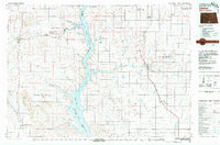
 1953 Jamestown1953 Print · USGSSoutheastern North Dakota was a thriving rail and agricultural corridor in the early fifties, anchored by the James River. Researchers can trace the footprints of institutional landmarks like the North Dakota State Hospital and historic sites such as Whitestone Hill Battlefield Park.3 unique versions available
 - 1954 Map of Bismarck, 1967 Print
 1954 Bismarck1967 Print · USGSBismarck and the Missouri River basin are shown in the mid-1960s as the Oahe Reservoir reshaped the valley. Genealogists can trace family-named landmarks like Dog Tooth Buttes and small prairie settlements such as Fort Yates, Selfridge, and Brisbane.2 unique versions available
 - 1956 Map of Jamestown
 1956 Jamestown1956 Print · USGSThe James River valley and the vast alkali lake country of south-central North Dakota are captured here in the mid-fifties. Genealogists can trace family farms across several counties, locating small rail stops like Medberry and monuments like Whitestone Hill Battlefield Park.
 - 1958 Map of Bismarck
 1958 Bismarck1958 Print · USGSCentral North Dakota in the late fifties is defined by the Missouri River and the sprawling Standing Rock Indian Reservation. Genealogists and historians can trace rail-line outposts like Sedalia Siding or explore local landmarks like Saint Anthony and Fort Lincoln State Park/Museum.
 - 1979 Map of Senger Lake South, 1980 Print
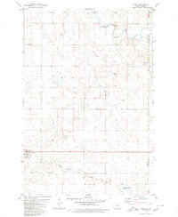
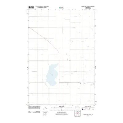
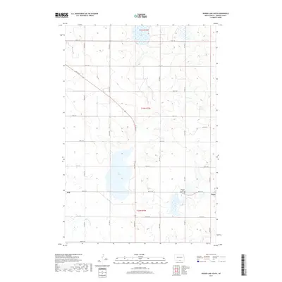
 1979 Senger Lake South1980 Print · USGSEmmons County prairie life and rail transit are captured here in the late seventies, centered on the small settlements of Hague and Hull. Researchers can trace the path of the Chicago Milwaukee St Paul and Pacific railroad and locate St Marys Cem.
 - 1980 Map of Linton
 1980 Linton1980 Print · USGSThe Missouri River corridor in the early eighties serves as a backdrop for the sprawling Standing Rock Indian Reservation and Missouri plateau farm towns. Researchers can trace historic railroad routes like the Burlington Northern and find local landmarks such as Fort Yates, Solen, and Winona Flats.
 - 1980 Map of Hague
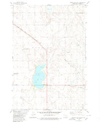
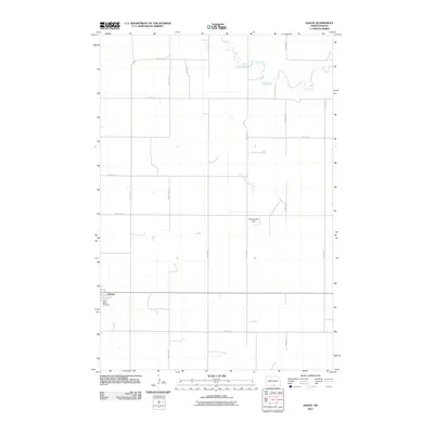
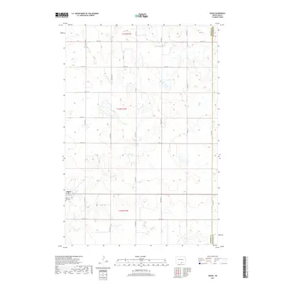
 1980 Hague1980 Print · USGSThe prairie town of Hague is captured during the early eighties, situated along the county line. Genealogists and historians can trace the local rail corridor of the Chicago Milwaukee St Paul and Pacific and locate landmarks like St Marys Cem and the Vetter site.
 - 1986 Map of Wishek
 1986 Wishek1986 Print · USGSMcIntosh and Logan counties are depicted here in the mid-1980s, a period defined by small-town rail commerce and extensive prairie conservation. Genealogists and researchers can trace the rail corridors of the Soo Line and Burlington Northern through centers like Wishek, Ashley, and Fredonia.2 unique versions available
 - 2011 Map of Senger Lake South, 2011 Print
 2011 Senger Lake South2011 Print · USGSCovers Hague, including Hull, Emmons County, and other nearby areas
 - 2011 Map of Hague, 2011 Print
 2011 Hague2011 Print · USGSCovers Hague, including McIntosh County, Emmons County, and other nearby areas
 - 2014 Map of Senger Lake South, 2014 Print
 2014 Senger Lake South2014 Print · USGSCovers Hague, including Hull, Emmons County, and other nearby areas
 - 2014 Map of Hague, 2014 Print
 2014 Hague2014 Print · USGSCovers Hague, including McIntosh County, Emmons County, and other nearby areas
 - 2017 Map of Hague, 2017 Print
 2017 Hague2017 Print · USGSCovers Hague, including McIntosh County, Emmons County, and other nearby areas
 - 2017 Map of Senger Lake South, 2017 Print
 2017 Senger Lake South2017 Print · USGSCovers Hague, including Hull, Emmons County, and other nearby areas
 - 2020 Map of Hague, 2020 Print
 2020 Hague2020 Print · USGSCovers Hague, including McIntosh County, Emmons County, and other nearby areas
 - 2020 Map of Senger Lake South, 2020 Print
 2020 Senger Lake South2020 Print · USGSCovers Hague, including Hull, Emmons County, and other nearby areas
 - 2024 Map of Hague, 2024 Print
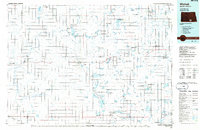
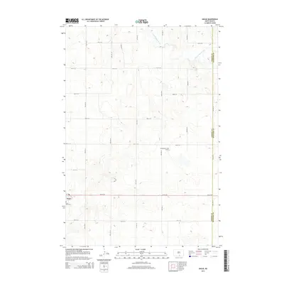
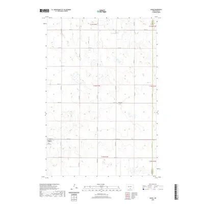
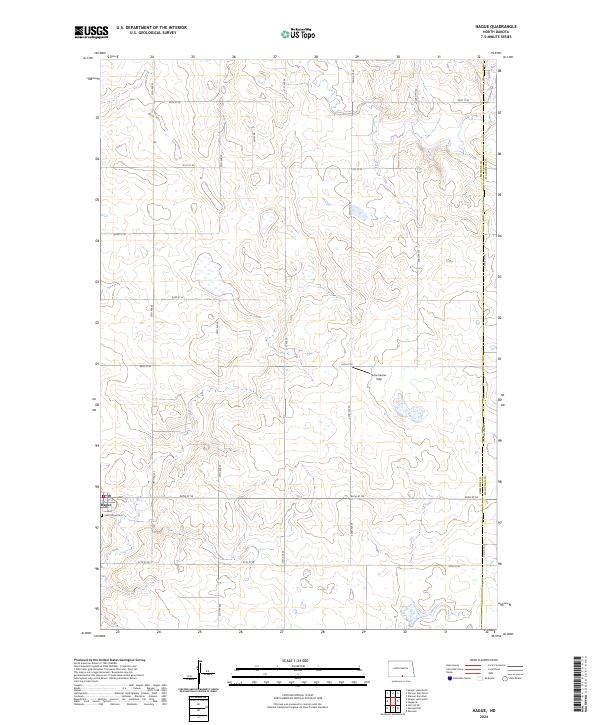 2024 Hague2024 Print · USGSThe town of Hague and its surrounding prairie landscape are documented in this recent survey of the North Dakota borderlands. Genealogists can locate Saint Marys Cem while researchers trace the road network through the Emmons County Waterfowl Production Area and the Schumacher Strip.
 - 2024 Map of Senger Lake South, 2024 Print
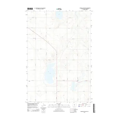
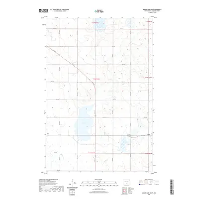
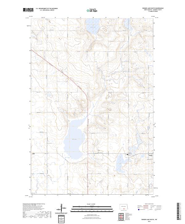 2024 Senger Lake South2024 Print · USGSEmmons County at the start of the 2020s remains a landscape of wide-open prairie and vital wetlands. Researchers can locate the small communities of Hague and Hull, alongside important local sites like Old Saint Marys Cem and Rice Lake.
End of results
Showing maps 1-18 of 18
Top cities near Hague
Frequently asked questions
- What are the different types of historical maps available for Hague?
- What is the oldest map of Hague?
- Where can I purchase historical maps of Hague for my home or office?
- Where can I download high-res historical maps of Hague?
- Are there historical topographic maps available for Hague?
- Is there historical aerial imagery available for Hague?
- Where are historical maps of Hague sourced from?