Old Maps of Carrington, North Dakota for Academic Research
Study the evolution of Carrington with 17 high-resolution historic maps. Whether you're teaching, researching, or modeling changes in land use, these maps provide essential visual documentation of urban, environmental, and geographic change.
- Analyze long-term change: Track patterns in development, transportation, and natural features.
- Ideal for environmental or urban studies: Support academic projects with primary historical map data.
- Use in the classroom or lab: Educators and researchers rely on these maps to bring historical context to life.
These maps are a powerful tool for teaching, research, and visualizing how Carrington has changed over the decades.
Carrington, ND maps
(17)- 1948 Map of Carrington
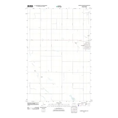
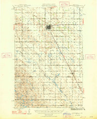 1948 Carrington1948 Print · USGSCarrington and the surrounding Foster County prairies are captured here in the late 1940s at a peak of rail-based agriculture. Genealogists and local historians can locate dozens of numbered country schools, such as School No 1 and School No 4, and trace the path of the Northern Pacific railroad.
 - 1950 Map of Carrington East
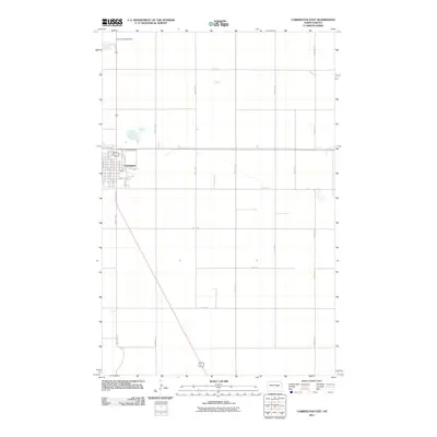
 1950 Carrington East1950 Print · USGSFoster County at the start of the 1950s shows a landscape defined by the intersection of major rail lines and rural township schools. Trace the junction of the Northern Pacific and find local landmarks like School No 1 and Carrington Cem.2 unique versions available
 - 1950 Map of Carrington West
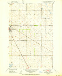
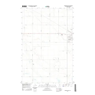
 1950 Carrington West1950 Print · USGSCarrington and the surrounding Foster County prairie are shown here during the mid-century peak of the rail-and-agriculture era. Local researchers can pinpoint rural landmarks like Town Hall, School No 2, and the early Landing Field near the junction of two major railroads.2 unique versions available
 - 1952 Map of New Rockford, 1968 Print
 1952 New Rockford1968 Print · USGSThe North Dakota prairie during the mid-1950s was a landscape of rail-dependent farm towns and vast wildlife refuges. Genealogists and historians can trace the foundations of local communities at Fort Totten Indian Agenc, Concordia Lutheran Church, and the Bowdon Country Church and Cemetery.3 unique versions available
 - 1956 Map of New Rockford
 1956 New Rockford1956 Print · USGSMid-century central North Dakota is captured here as a landscape of prairie rail towns and vast wildlife refuges. Trace family roots at the Bowdon Country Church and Cemetery or locate the old St Michael Mission School and Fort Totten.
 - 1971 Map of New Rockford, 1974 Print
 1971 New Rockford1974 Print · USGSCentral North Dakota was a landscape of wildlife refuges and rail-linked agricultural towns in the early seventies. Genealogists and local historians can trace the development of the Fort Totten Indian Reservation and locate old railway points like Maddock, Hamal, and Kloten.
 - 1994 Map of Carrington
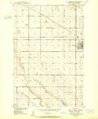
 1994 Carrington1994 Print · USGSCentral North Dakota's prairie pothole region comes alive in this mid-nineties survey, showing a landscape defined by expansive wetlands and small rail towns. Genealogists and researchers can trace the vicinity of Carrington and Sykeston, or locate remote landmarks like the Chase Lake National Wildlife Refuge and Lake Williams.
 - 2011 Map of Carrington West, 2011 Print
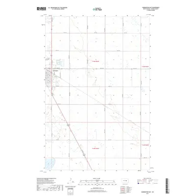
 2011 Carrington West2011 Print · USGSCovers Carrington, including Foster County, United States, and other nearby areas
 - 2011 Map of Carrington East, 2011 Print
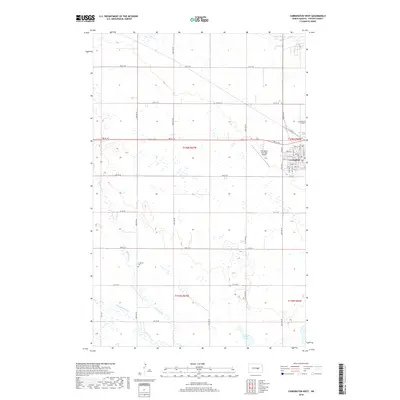
 2011 Carrington East2011 Print · USGSCovers Carrington, including Foster County, United States, and other nearby areas
 - 2014 Map of Carrington East, 2014 Print
 2014 Carrington East2014 Print · USGSCovers Carrington, including Foster County, United States, and other nearby areas
 - 2014 Map of Carrington West, 2014 Print
 2014 Carrington West2014 Print · USGSCovers Carrington, including Foster County, United States, and other nearby areas
 - 2017 Map of Carrington East, 2017 Print
 2017 Carrington East2017 Print · USGSCovers Carrington, including Foster County, United States, and other nearby areas
 - 2018 Map of Carrington West, 2018 Print
 2018 Carrington West2018 Print · USGSCovers Carrington, including Foster County, United States, and other nearby areas
 - 2020 Map of Carrington East, 2020 Print
 2020 Carrington East2020 Print · USGSCovers Carrington, including Foster County, United States, and other nearby areas
 - 2020 Map of Carrington West, 2020 Print
 2020 Carrington West2020 Print · USGSCovers Carrington, including Foster County, United States, and other nearby areas
 - 2024 Map of Carrington East, 2024 Print
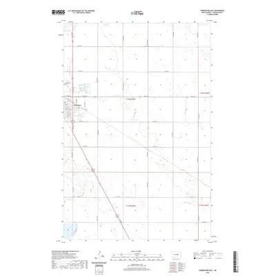
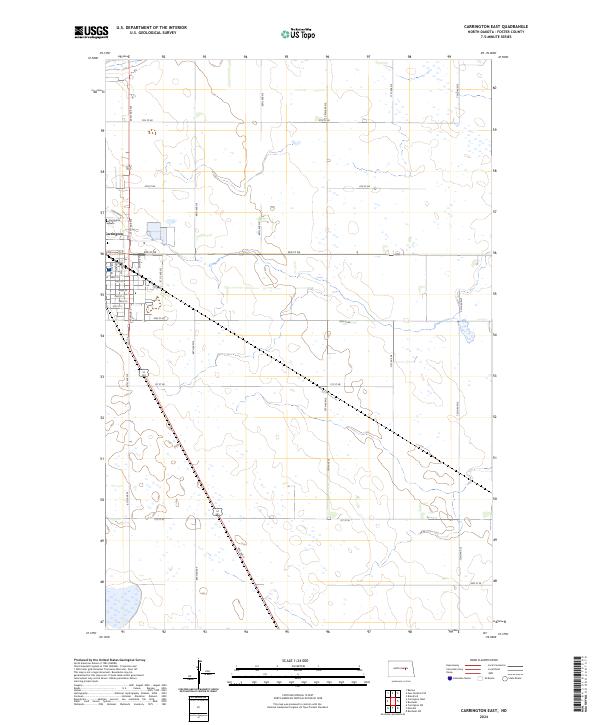 2024 Carrington East2024 Print · USGSThe eastern fringes of Carrington meet the North Dakota prairie in the early 2020s, revealing a landscape defined by agriculture and conservation. Researchers can trace the town's expansion toward the Carrington Cem or explore the protected wetlands of the Foster County Waterfowl Production Area.
 - 2024 Map of Carrington West, 2024 Print
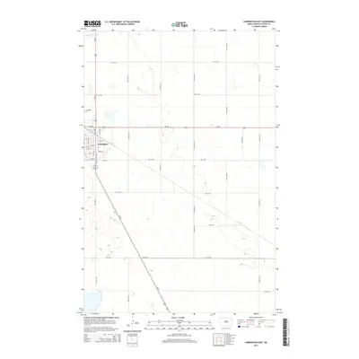
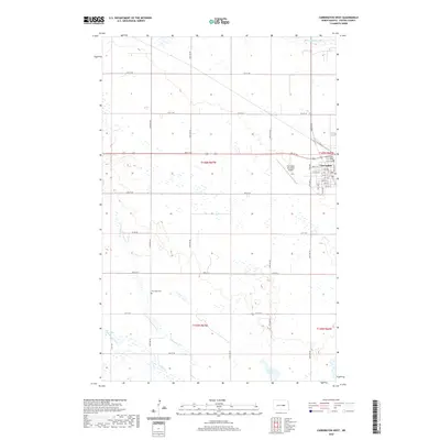
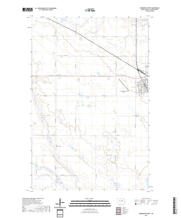 2024 Carrington West2024 Print · USGSThe city of Carrington and its surrounding prairie wetlands are shown in great detail during the early 2020s. Researchers can locate the Foster County Court House, trace the path of Pipestem Creek, and identify the rural Riverdale Cem.
End of results
Showing maps 1-17 of 17
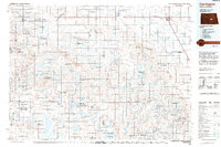
Top cities near Carrington
Frequently asked questions
- What are the different types of historical maps available for Carrington?
- What is the oldest map of Carrington?
- Where can I purchase historical maps of Carrington for my home or office?
- Where can I download high-res historical maps of Carrington?
- Are there historical topographic maps available for Carrington?
- Is there historical aerial imagery available for Carrington?
- Where are historical maps of Carrington sourced from?