Old Maps of Finn Township, North Dakota for Academic Research
Study the evolution of Finn Township with 27 high-resolution historic maps. Whether you're teaching, researching, or modeling changes in land use, these maps provide essential visual documentation of urban, environmental, and geographic change.
- Analyze long-term change: Track patterns in development, transportation, and natural features.
- Ideal for environmental or urban studies: Support academic projects with primary historical map data.
- Use in the classroom or lab: Educators and researchers rely on these maps to bring historical context to life.
These maps are a powerful tool for teaching, research, and visualizing how Finn Township has changed over the decades.
Finn Township, ND maps
(27)- 1953 Map of Jamestown
 1953 Jamestown1953 Print · USGSSoutheastern North Dakota was a thriving rail and agricultural corridor in the early fifties, anchored by the James River. Researchers can trace the footprints of institutional landmarks like the North Dakota State Hospital and historic sites such as Whitestone Hill Battlefield Park.3 unique versions available
 - 1956 Map of Jamestown
 1956 Jamestown1956 Print · USGSThe James River valley and the vast alkali lake country of south-central North Dakota are captured here in the mid-fifties. Genealogists can trace family farms across several counties, locating small rail stops like Medberry and monuments like Whitestone Hill Battlefield Park.
 - 1983 Map of Alfred
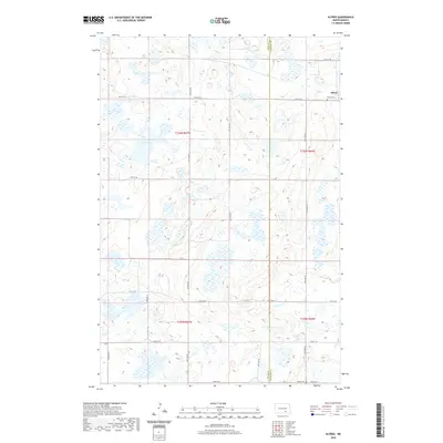
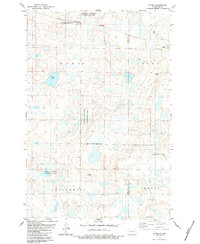 1983 Alfred1983 Print · USGSThe prairie landscape around Alfred is shown during the early 1980s, highlighting a region defined by its rail connections and conservation lands. Researchers can locate the Postal Cem and trace the Burlington Northern line as it passes Arnies Lake.
 - 1983 Map of Gackle North
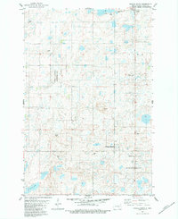
 1983 Gackle North1983 Print · USGSGackle and the surrounding prairie pothole region are shown here in the late 1970s and early 1980s as the rail-line economy persisted. Local historians can trace the boundaries of Bloomenfield and Germania or locate the Streeter Cem and Townhall.
 - 1983 Map of Gackle South
 1983 Gackle South1983 Print · USGSLogan County prairie life in the early eighties is captured here, showing the rural area south of the town of Gackle. Genealogists can locate family landmarks such as Saari Cem, the Finnish Old Apostolic Ch, and Neudorf Cem.
 - 1983 Map of Gackle NE, 1984 Print
 1983 Gackle NE1984 Print · USGSStutsman and Logan counties appear here in the early 1980s as a quiet patchwork of prairie wetlands and civil townships. Genealogists and researchers can trace township boundaries like Sinclair and Alexander or locate the Seventh Day Adventist Cem.
 - 1985 Map of Steele, 1994 Print
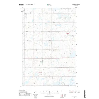
 1985 Steele1994 Print · USGSCentral North Dakota’s prairie pothole region is showcased here in the mid-1980s, revealing a landscape of vital wetlands and rail-dependent towns. Researchers can trace family ties and land use near Steele, Napoleon, and the many waterfowl production areas like Slade National Wildlife Refuge.
 - 2011 Map of Gackle North, 2011 Print
 2011 Gackle North2011 Print · USGSCovers Finn Township, including Gackle, Stutsman County, and other nearby areas
 - 2011 Map of Alfred, 2011 Print
 2011 Alfred2011 Print · USGSCovers Finn Township, including Gutschmidt Township, Glen Township, and other nearby areas
 - 2011 Map of Gackle NE, 2011 Print
 2011 Gackle NE2011 Print · USGSCovers Finn Township, including Glen Township, Stutsman County, and other nearby areas
 - 2011 Map of Gackle South, 2011 Print
 2011 Gackle South2011 Print · USGSCovers Finn Township, including Gackle, Gutschmidt Township, and other nearby areas
 - 2014 Map of Gackle South, 2014 Print
 2014 Gackle South2014 Print · USGSCovers Finn Township, including Gackle, Gutschmidt Township, and other nearby areas
 - 2014 Map of Alfred, 2014 Print
 2014 Alfred2014 Print · USGSCovers Finn Township, including Gutschmidt Township, Glen Township, and other nearby areas
 - 2014 Map of Gackle North, 2014 Print
 2014 Gackle North2014 Print · USGSCovers Finn Township, including Gackle, Stutsman County, and other nearby areas
 - 2014 Map of Gackle NE, 2014 Print
 2014 Gackle NE2014 Print · USGSCovers Finn Township, including Glen Township, Stutsman County, and other nearby areas
 - 2018 Map of Gackle NE, 2018 Print
 2018 Gackle NE2018 Print · USGSCovers Finn Township, including Glen Township, Stutsman County, and other nearby areas
 - 2018 Map of Gackle South, 2018 Print
 2018 Gackle South2018 Print · USGSCovers Finn Township, including Gackle, Gutschmidt Township, and other nearby areas
 - 2018 Map of Alfred, 2018 Print
 2018 Alfred2018 Print · USGSCovers Finn Township, including Gutschmidt Township, Glen Township, and other nearby areas
 - 2018 Map of Gackle North, 2018 Print
 2018 Gackle North2018 Print · USGSCovers Finn Township, including Gackle, Stutsman County, and other nearby areas
 - 2020 Map of Alfred, 2020 Print
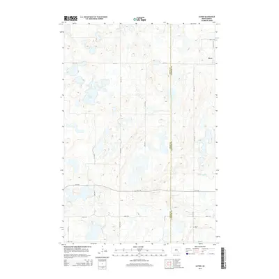
 2020 Alfred2020 Print · USGSCovers Finn Township, including Gutschmidt Township, Glen Township, and other nearby areas
 - 2020 Map of Gackle South, 2020 Print
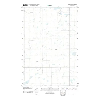
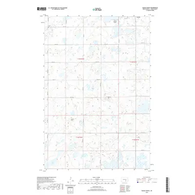
 2020 Gackle South2020 Print · USGSCovers Finn Township, including Gackle, Gutschmidt Township, and other nearby areas
 - 2020 Map of Gackle North, 2020 Print
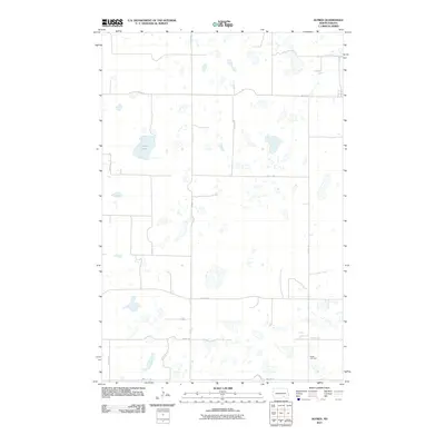
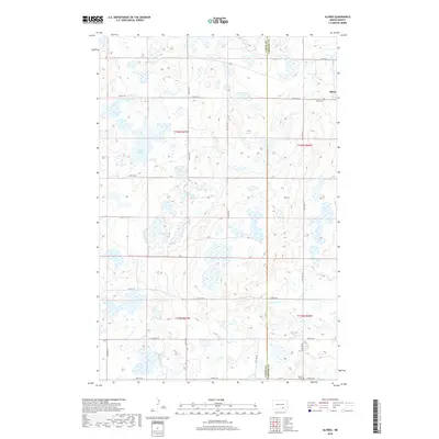
 2020 Gackle North2020 Print · USGSCovers Finn Township, including Gackle, Stutsman County, and other nearby areas
 - 2020 Map of Gackle NE, 2020 Print
 2020 Gackle NE2020 Print · USGSCovers Finn Township, including Glen Township, Stutsman County, and other nearby areas
 - 2024 Map of Gackle North, 2024 Print
 2024 Gackle North2024 Print · USGSThe Missouri Coteau prairie near the Stutsman and Logan county line comes into focus in this recent survey. Local researchers can trace early settlement roots at Germania Evangelical Cem and the Bloomenfeld German Baptist Church Cem near the town of Gackle.
 - 2024 Map of Gackle South, 2024 Print
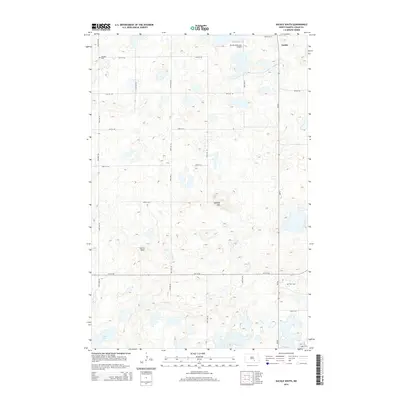
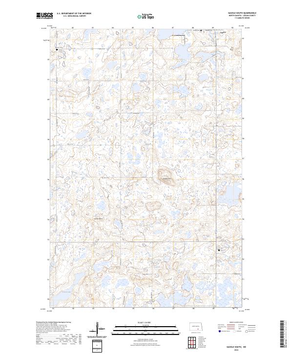 2024 Gackle South2024 Print · USGSThe prairie pothole country of Logan County is captured here in the early twenty-first century, showing the rural grid south of Gackle. Family historians can locate specific burial grounds like Neudorf Cem and Saari Cem set among the wetlands of the Logan County Waterfowl Production Area.
Showing maps 1-25 of 27
Top cities near Finn Township
Frequently asked questions
- What are the different types of historical maps available for Finn Township?
- What is the oldest map of Finn Township?
- Where can I purchase historical maps of Finn Township for my home or office?
- Where can I download high-res historical maps of Finn Township?
- Are there historical topographic maps available for Finn Township?
- Is there historical aerial imagery available for Finn Township?
- Where are historical maps of Finn Township sourced from?