Old Maps of Sealy Township, North Dakota for Academic Research
Study the evolution of Sealy Township with 26 high-resolution historic maps. Whether you're teaching, researching, or modeling changes in land use, these maps provide essential visual documentation of urban, environmental, and geographic change.
- Analyze long-term change: Track patterns in development, transportation, and natural features.
- Ideal for environmental or urban studies: Support academic projects with primary historical map data.
- Use in the classroom or lab: Educators and researchers rely on these maps to bring historical context to life.
These maps are a powerful tool for teaching, research, and visualizing how Sealy Township has changed over the decades.
Sealy Township, ND maps
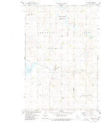
(26)- 1953 Map of Jamestown
 1953 Jamestown1953 Print · USGSSoutheastern North Dakota was a thriving rail and agricultural corridor in the early fifties, anchored by the James River. Researchers can trace the footprints of institutional landmarks like the North Dakota State Hospital and historic sites such as Whitestone Hill Battlefield Park.3 unique versions available
 - 1956 Map of Jamestown
 1956 Jamestown1956 Print · USGSThe James River valley and the vast alkali lake country of south-central North Dakota are captured here in the mid-fifties. Genealogists can trace family farms across several counties, locating small rail stops like Medberry and monuments like Whitestone Hill Battlefield Park.
 - 1975 Map of Kintyre, 1978 Print
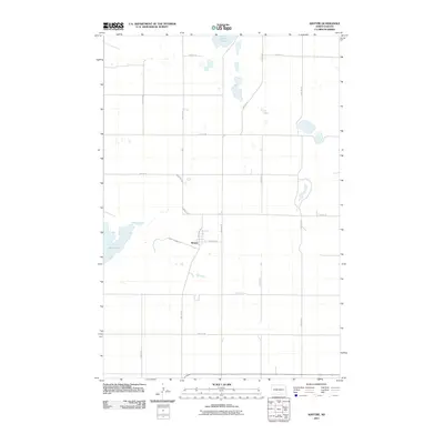
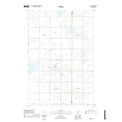
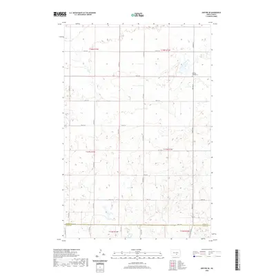
 1975 Kintyre1978 Print · USGSThe rural prairie landscape surrounding Kintyre is captured here during the mid-seventies, showing the vital role of the railroad and land management. Researchers can trace the Soo Line tracks through town or locate the National Waterfowl Production Area and Stink Lake.
 - 1979 Map of Kintyre NE, 1980 Print
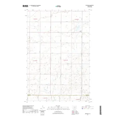
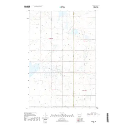
 1979 Kintyre NE1980 Print · USGSKidder and Logan counties meet in this late 1970s survey of the prairie townships. Local researchers can trace family landmarks like Liberty Cem, the central Townhall, and the expansive Dawson State Game Management Area.
 - 1980 Map of McKenna Lake North
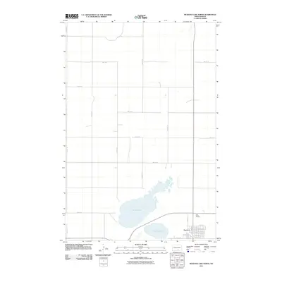
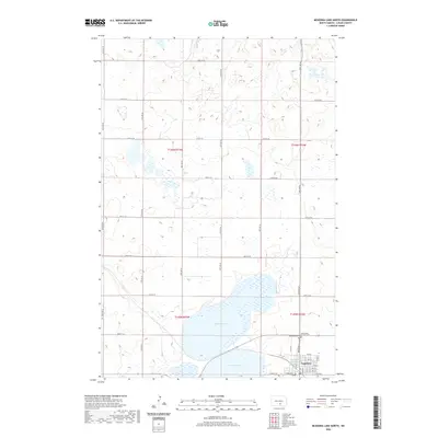
 1980 McKenna Lake North1980 Print · USGSThe Logan County prairie around the turn of the 1980s reveals a landscape defined by the Soo Line railroad and local townships. Researchers can locate St Philips Cem, the settlement of Napoleon, and rural landmarks like Mc Kenna Lake.
 - 1985 Map of Steele, 1994 Print
 1985 Steele1994 Print · USGSCentral North Dakota’s prairie pothole region is showcased here in the mid-1980s, revealing a landscape of vital wetlands and rail-dependent towns. Researchers can trace family ties and land use near Steele, Napoleon, and the many waterfowl production areas like Slade National Wildlife Refuge.
 - 2011 Map of Kintyre NE, 2011 Print
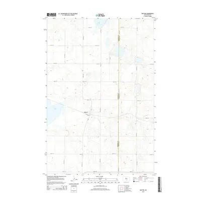
 2011 Kintyre NE2011 Print · USGSCovers Sealy Township, including Glendale Township, Kidder County, and other nearby areas
 - 2011 Map of Kintyre, 2011 Print
 2011 Kintyre2011 Print · USGSCovers Sealy Township, including Tell Township, Kintyre, and other nearby areas
 - 2011 Map of Pursian Lake, 2011 Print
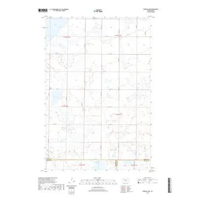
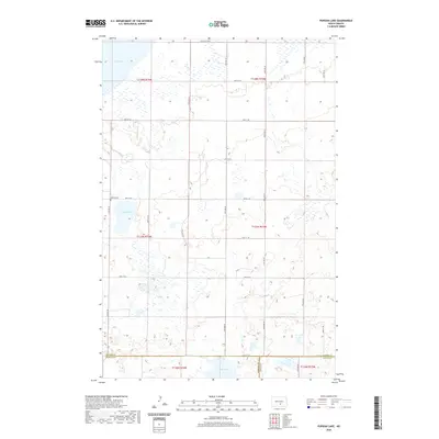
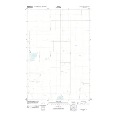 2011 Pursian Lake2011 Print · USGSCovers Sealy Township, including Campbell Township, Kidder County, and other nearby areas
 - 2011 Map of McKenna Lake North, 2011 Print
 2011 McKenna Lake North2011 Print · USGSCovers Sealy Township, including Napoleon, Glendale Township, and other nearby areas
 - 2014 Map of McKenna Lake North, 2014 Print
 2014 McKenna Lake North2014 Print · USGSCovers Sealy Township, including Napoleon, Glendale Township, and other nearby areas
 - 2014 Map of Kintyre, 2014 Print
 2014 Kintyre2014 Print · USGSCovers Sealy Township, including Tell Township, Kintyre, and other nearby areas
 - 2014 Map of Kintyre NE, 2014 Print
 2014 Kintyre NE2014 Print · USGSCovers Sealy Township, including Glendale Township, Kidder County, and other nearby areas
 - 2014 Map of Pursian Lake, 2014 Print
 2014 Pursian Lake2014 Print · USGSCovers Sealy Township, including Campbell Township, Kidder County, and other nearby areas
 - 2017 Map of McKenna Lake North, 2017 Print
 2017 McKenna Lake North2017 Print · USGSCovers Sealy Township, including Napoleon, Glendale Township, and other nearby areas
 - 2017 Map of Kintyre, 2017 Print
 2017 Kintyre2017 Print · USGSCovers Sealy Township, including Tell Township, Kintyre, and other nearby areas
 - 2017 Map of Kintyre NE, 2017 Print
 2017 Kintyre NE2017 Print · USGSCovers Sealy Township, including Glendale Township, Kidder County, and other nearby areas
 - 2018 Map of Pursian Lake, 2018 Print
 2018 Pursian Lake2018 Print · USGSCovers Sealy Township, including Campbell Township, Kidder County, and other nearby areas
 - 2020 Map of McKenna Lake North, 2020 Print
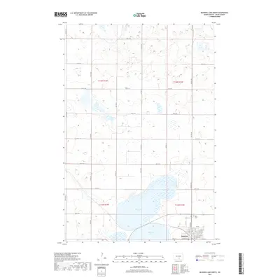
 2020 McKenna Lake North2020 Print · USGSCovers Sealy Township, including Napoleon, Glendale Township, and other nearby areas
 - 2020 Map of Kintyre NE, 2020 Print
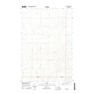
 2020 Kintyre NE2020 Print · USGSCovers Sealy Township, including Glendale Township, Kidder County, and other nearby areas
 - 2020 Map of Kintyre, 2020 Print
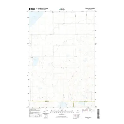
 2020 Kintyre2020 Print · USGSCovers Sealy Township, including Tell Township, Kintyre, and other nearby areas
 - 2020 Map of Pursian Lake, 2020 Print
 2020 Pursian Lake2020 Print · USGSCovers Sealy Township, including Campbell Township, Kidder County, and other nearby areas
 - 2024 Map of McKenna Lake North, 2024 Print
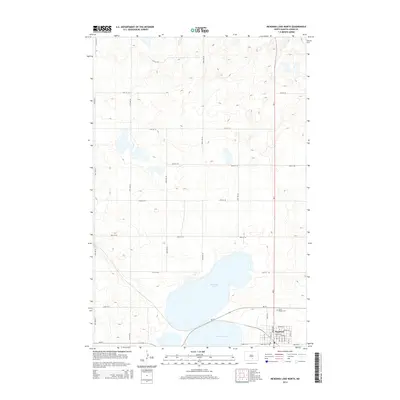
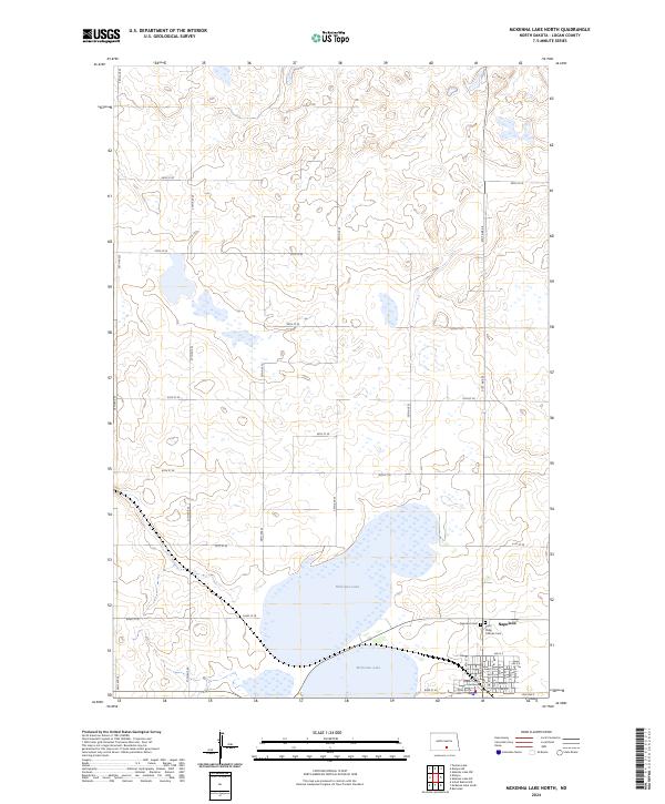 2024 McKenna Lake North2024 Print · USGSNapoleon and the surrounding Logan County prairie are captured in this recent survey of the North Dakota landscape. Genealogists and researchers can locate family sites near McKenna Lake or trace town history at the Logan County Courthouse and Napoleon Cem.
 - 2024 Map of Kintyre NE, 2024 Print
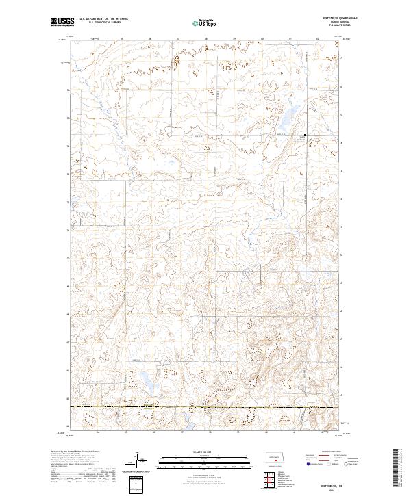 2024 Kintyre NE2024 Print · USGSKidder County's prairie landscape is documented here in the early twenty-first century, showing the enduring grid of section roads and glacial wetlands. Genealogists and local historians can locate the Liberty Methodist Episcopal Cem and trace the boundary at Kidder Co Logan Co.
 - 2024 Map of Pursian Lake, 2024 Print
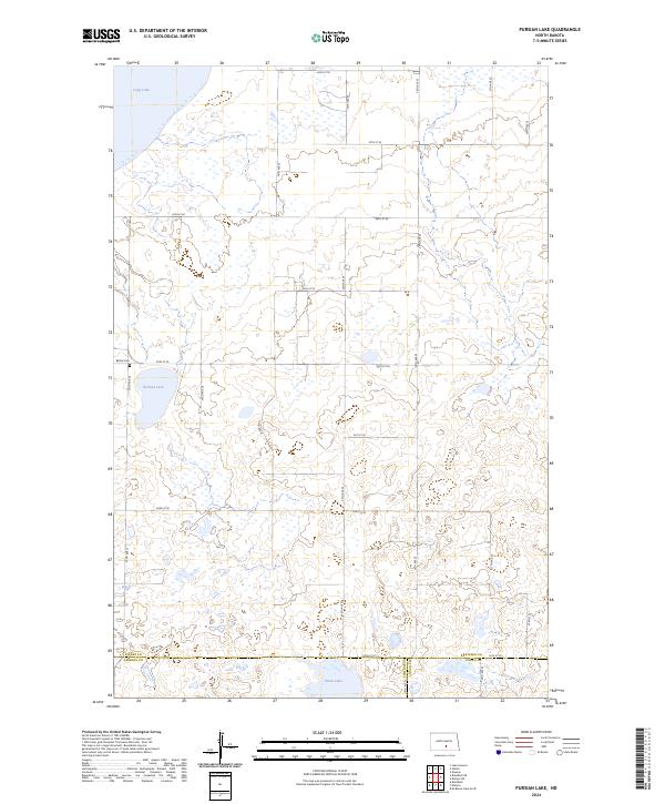 2024 Pursian Lake2024 Print · USGSThe high prairie wetlands of Kidder County are captured here in the mid-2020s, showing a landscape dedicated to conservation and agriculture. Researchers can locate the historic Bethel Cem or trace the boundaries of the Long Lake National Wildlife Refuge and Pursian Lake.
Showing maps 1-25 of 26
Top cities near Sealy Township
Frequently asked questions
- What are the different types of historical maps available for Sealy Township?
- What is the oldest map of Sealy Township?
- Where can I purchase historical maps of Sealy Township for my home or office?
- Where can I download high-res historical maps of Sealy Township?
- Are there historical topographic maps available for Sealy Township?
- Is there historical aerial imagery available for Sealy Township?
- Where are historical maps of Sealy Township sourced from?