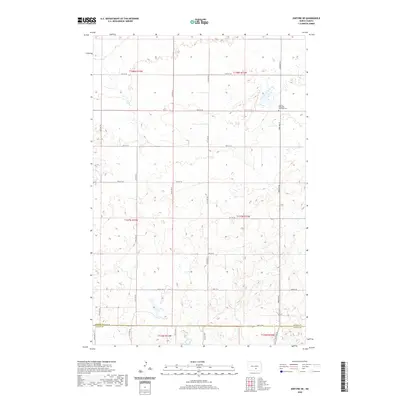
2020 Map of Kintyre NE
USGS Topo · Published 2020About this map
Liberty Methodist Episcopal Cem stands as a focal point for family history in this prairie landscape, situated near the boundary where Kidder Co and Logan Co meet. The terrain is defined by the Public Land Survey System grids of t137n r72w and adjacent townships, which dictated the geometric placement of local section-line roads like 47th St SE and 33rd Ave SE. This survey reflects the enduring agricultural structure of the North Dakota plains, where the vast majority of the land is organized into square-mile sections. The network of rural routes, including 54th St SE, provides a framework for the scattered farmsteads and wetlands that characterize this region of the Missouri Coteau.
Find a feature on this map
24 named features on this map. Tap any name to fly to it.
Don’t see what you’re looking for? This feature index may not catch every label — zoom into the map to look around manually.
Map Details
Editions of this 2020 Kintyre NE Map
This is the sole edition of this map. No revisions or reprints were ever made.
Other maps of this area

1952 · Tappen South
USGS Topo · 1:24,000

1952 · Dawson
USGS Topo · 1:24,000

1952 · Steele
USGS Topo · 1:24,000

1953 · Jamestown
USGS Topo · 1:250,000

1956 · Jamestown
USGS Topo · 1:250,000

1975 · Kintyre
USGS Topo · 1:24,000

1979 · Kintyre NE
USGS Topo · 1:24,000

1980 · McKenna Lake North
USGS Topo · 1:24,000

1983 · Alkaline Lake SW
USGS Topo · 1:24,000

1983 · Alkaline Lake NW
USGS Topo · 1:24,000