Old Maps of Glendale Township, North Dakota
Explore 27 old maps of Glendale Township, spanning from 1953 to today. These high-resolution historic maps reveal how streets, neighborhoods, landmarks, and natural features evolved over time — perfect for genealogy, metal detecting, research, and local history exploration.
What you can do with these maps:
- See how Glendale Township changed over time: Compare historical maps to modern-day views to trace roads, homesites, rail lines & more.
- View detailed metadata: Each map includes creators, publishers, year, scale, and archive source.
- Overlay maps with satellite & LiDAR: Visualize the past alongside modern tools to explore terrain & human change.
- Trusted historical sources: Maps sourced from the USGS, Library of Congress, and other archives.
- Access maps your way: View online, download high-res files, or order prints for personal or research use.
Start exploring old maps of Glendale Township to uncover forgotten places, hidden landmarks, and the deep history beneath your feet.
Glendale Township, ND maps
(27)- 1953 Map of Jamestown
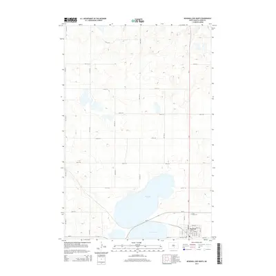
 1953 Jamestown1953 Print · USGSSoutheastern North Dakota was a thriving rail and agricultural corridor in the early fifties, anchored by the James River. Researchers can trace the footprints of institutional landmarks like the North Dakota State Hospital and historic sites such as Whitestone Hill Battlefield Park.3 unique versions available
 - 1956 Map of Jamestown
 1956 Jamestown1956 Print · USGSThe James River valley and the vast alkali lake country of south-central North Dakota are captured here in the mid-fifties. Genealogists can trace family farms across several counties, locating small rail stops like Medberry and monuments like Whitestone Hill Battlefield Park.
 - 1979 Map of Kintyre NE, 1980 Print
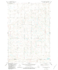
 1979 Kintyre NE1980 Print · USGSKidder and Logan counties meet in this late 1970s survey of the prairie townships. Local researchers can trace family landmarks like Liberty Cem, the central Townhall, and the expansive Dawson State Game Management Area.
 - 1980 Map of McKenna Lake North
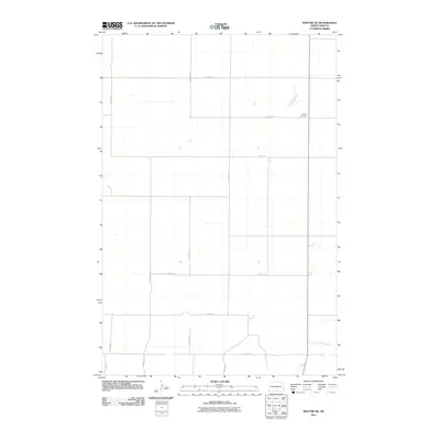
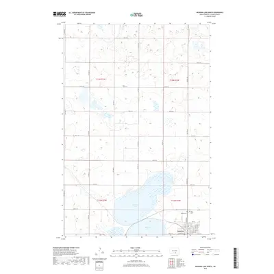
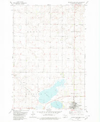 1980 McKenna Lake North1980 Print · USGSThe Logan County prairie around the turn of the 1980s reveals a landscape defined by the Soo Line railroad and local townships. Researchers can locate St Philips Cem, the settlement of Napoleon, and rural landmarks like Mc Kenna Lake.
 - 1983 Map of Alkaline Lake SW
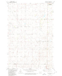
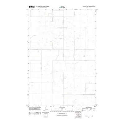
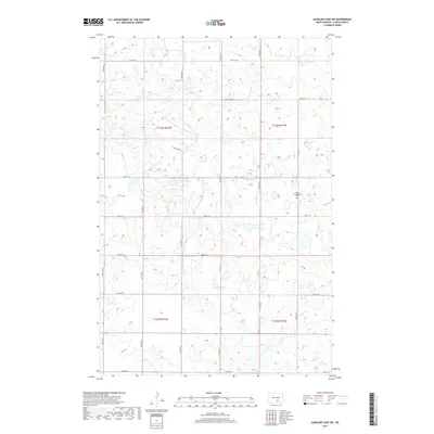
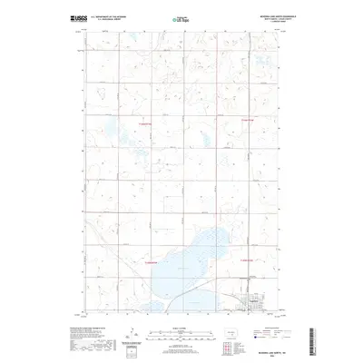
 1983 Alkaline Lake SW1983 Print · USGSNorth Dakota's prairie pothole region is documented here in the early eighties, showing the agrarian townships of Glendale and Bryant. Researchers can trace the section-line roads and local landmarks like Salem Cem and the Glendale Townhall.
 - 1983 Map of Alkaline Lake NW
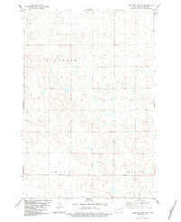
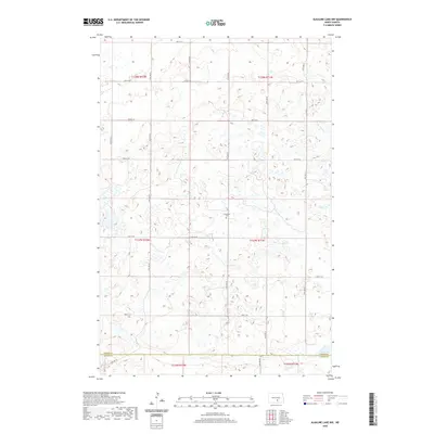
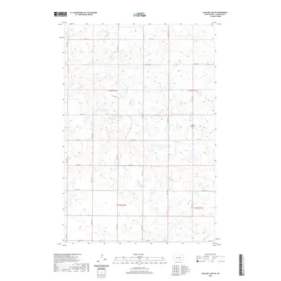
 1983 Alkaline Lake NW1983 Print · USGSKidder and Logan counties are captured here in the early 1980s, showcasing a rural landscape of townships and scattered prairie potholes. Genealogists and local historians can locate Glueckstal Ch and trace early land use around Fresh Lake.
 - 1985 Map of Steele, 1994 Print
 1985 Steele1994 Print · USGSCentral North Dakota’s prairie pothole region is showcased here in the mid-1980s, revealing a landscape of vital wetlands and rail-dependent towns. Researchers can trace family ties and land use near Steele, Napoleon, and the many waterfowl production areas like Slade National Wildlife Refuge.
 - 2011 Map of Alkaline Lake SW, 2011 Print
 2011 Alkaline Lake SW2011 Print · USGSCovers Glendale Township, including Bryant Township, Dixon Township, and other nearby areas
 - 2011 Map of Kintyre NE, 2011 Print
 2011 Kintyre NE2011 Print · USGSCovers Glendale Township, including Sealy Township, Kidder County, and other nearby areas
 - 2011 Map of McKenna Lake North, 2011 Print
 2011 McKenna Lake North2011 Print · USGSCovers Glendale Township, including Napoleon, Bryant Township, and other nearby areas
 - 2011 Map of Alkaline Lake NW, 2011 Print
 2011 Alkaline Lake NW2011 Print · USGSCovers Glendale Township, including Kidder County, Logan County, and other nearby areas
 - 2014 Map of McKenna Lake North, 2014 Print
 2014 McKenna Lake North2014 Print · USGSCovers Glendale Township, including Napoleon, Bryant Township, and other nearby areas
 - 2014 Map of Kintyre NE, 2014 Print
 2014 Kintyre NE2014 Print · USGSCovers Glendale Township, including Sealy Township, Kidder County, and other nearby areas
 - 2014 Map of Alkaline Lake NW, 2014 Print
 2014 Alkaline Lake NW2014 Print · USGSCovers Glendale Township, including Kidder County, Logan County, and other nearby areas
 - 2014 Map of Alkaline Lake SW, 2014 Print
 2014 Alkaline Lake SW2014 Print · USGSCovers Glendale Township, including Bryant Township, Dixon Township, and other nearby areas
 - 2017 Map of Alkaline Lake SW, 2017 Print
 2017 Alkaline Lake SW2017 Print · USGSCovers Glendale Township, including Bryant Township, Dixon Township, and other nearby areas
 - 2017 Map of McKenna Lake North, 2017 Print
 2017 McKenna Lake North2017 Print · USGSCovers Glendale Township, including Napoleon, Bryant Township, and other nearby areas
 - 2017 Map of Kintyre NE, 2017 Print
 2017 Kintyre NE2017 Print · USGSCovers Glendale Township, including Sealy Township, Kidder County, and other nearby areas
 - 2018 Map of Alkaline Lake NW, 2018 Print
 2018 Alkaline Lake NW2018 Print · USGSCovers Glendale Township, including Kidder County, Logan County, and other nearby areas
 - 2020 Map of McKenna Lake North, 2020 Print
 2020 McKenna Lake North2020 Print · USGSCovers Glendale Township, including Napoleon, Bryant Township, and other nearby areas
 - 2020 Map of Alkaline Lake NW, 2020 Print
 2020 Alkaline Lake NW2020 Print · USGSCovers Glendale Township, including Kidder County, Logan County, and other nearby areas
 - 2020 Map of Alkaline Lake SW, 2020 Print
 2020 Alkaline Lake SW2020 Print · USGSCovers Glendale Township, including Bryant Township, Dixon Township, and other nearby areas
 - 2020 Map of Kintyre NE, 2020 Print
 2020 Kintyre NE2020 Print · USGSCovers Glendale Township, including Sealy Township, Kidder County, and other nearby areas
 - 2024 Map of Alkaline Lake SW, 2024 Print
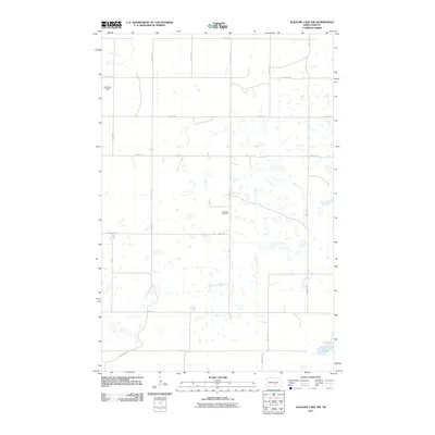
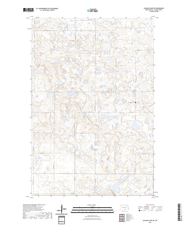 2024 Alkaline Lake SW2024 Print · USGSLogan County’s rural prairie landscape is documented here in the early twenty-first century, showcasing the region's characteristic wetland pockets and section-line roads. Genealogists can locate the Salem Congregation Cem while researchers trace routes like Lake Ave E and 35th Ave SE.
 - 2024 Map of McKenna Lake North, 2024 Print
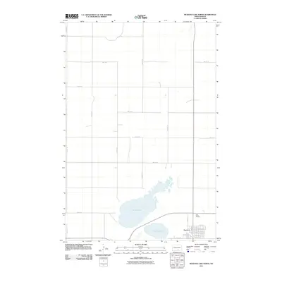
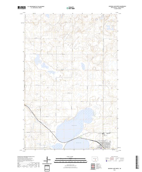 2024 McKenna Lake North2024 Print · USGSNapoleon and the surrounding Logan County prairie are captured in this recent survey of the North Dakota landscape. Genealogists and researchers can locate family sites near McKenna Lake or trace town history at the Logan County Courthouse and Napoleon Cem.
Showing maps 1-25 of 27
Top cities near Glendale Township
Frequently asked questions
- What are the different types of historical maps available for Glendale Township?
- What is the oldest map of Glendale Township?
- Where can I purchase historical maps of Glendale Township for my home or office?
- Where can I download high-res historical maps of Glendale Township?
- Are there historical topographic maps available for Glendale Township?
- Is there historical aerial imagery available for Glendale Township?
- Where are historical maps of Glendale Township sourced from?