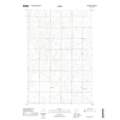
2020 Map of Alkaline Lake SW
USGS Topo · Published 2020About this map
The prairie landscape of Logan County is defined by a rhythmic grid of section lines and gravel roads, including 34th Ave SE and 55th St SE, which cross a terrain punctuated by numerous small glacial depressions and wetlands. The primary cultural landmark on this survey is the Salem Congregation Cem, located near the intersection of 37th Ave SE and 59th St SE. This site, situated within the bounds of t136n r71w, serves as a point of continuity for local genealogy and history in an area otherwise characterized by agriculture and open range. The network of roads like Lake Ave E and 60th St SE provides a glimpse into the organized land-use patterns of the North Dakota plains, where the vast township and range system dictates the placement of farmsteads and transport routes.
Find a feature on this map
20 named features on this map. Tap any name to fly to it.
Don’t see what you’re looking for? This feature index may not catch every label — zoom into the map to look around manually.
Map Details
Editions of this 2020 Alkaline Lake SW Map
This is the sole edition of this map. No revisions or reprints were ever made.
Other maps of this area

1953 · Jamestown
USGS Topo · 1:250,000

1956 · Jamestown
USGS Topo · 1:250,000

1979 · Kintyre NE
USGS Topo · 1:24,000

1979 · McKenna Lake South
USGS Topo · 1:24,000

1980 · McKenna Lake North
USGS Topo · 1:24,000

1982 · Wishek NE
USGS Topo · 1:24,000

1982 · Burnstad
USGS Topo · 1:24,000

1983 · Alkaline Lake SW
USGS Topo · 1:24,000

1983 · Alkaline Lake
USGS Topo · 1:24,000

1983 · Alkaline Lake NW
USGS Topo · 1:24,000